Friezley Wood
Wood, Forest in Kent Tunbridge Wells
England
Friezley Wood
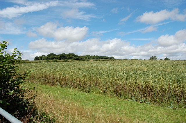
Friezley Wood, located in Kent, England, is a picturesque forest that covers an area of approximately 100 acres. This woodland is known for its natural beauty, diverse wildlife, and tranquil atmosphere, making it a popular destination for nature enthusiasts and hikers alike.
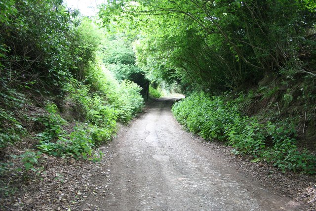
The wood is predominantly composed of deciduous trees such as oak, beech, and birch, which create a stunning canopy during the spring and summer months. The forest floor is covered in a thick carpet of ferns, wildflowers, and mosses, adding to its enchanting allure. Additionally, the wood is home to various species of birds, including woodpeckers, owls, and songbirds, providing a delightful soundtrack for visitors.
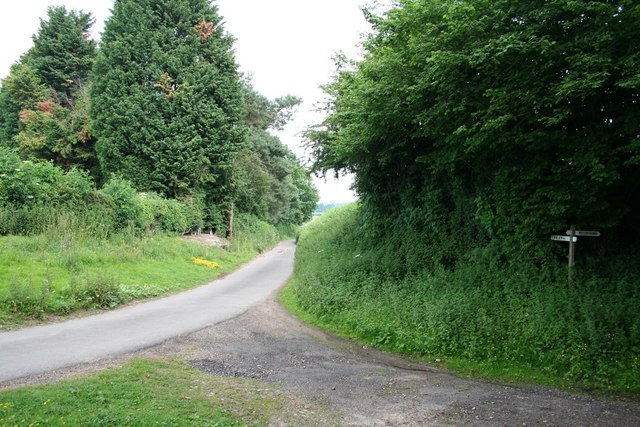
There are several well-marked trails that wind through the woods, allowing visitors to explore its splendor at their own pace. These paths lead to hidden clearings, babbling brooks, and secluded picnic spots, providing opportunities for relaxation and reflection amidst nature.
Friezley Wood is also a haven for wildlife, with sightings of deer, foxes, rabbits, and even the occasional badger being common. Nature lovers can spend hours observing and photographing the animals in their natural habitat.
The wood is open to the public throughout the year, and visitors are encouraged to respect the natural environment and follow the designated trails. Friezley Wood, with its charming scenery and abundant wildlife, offers a peaceful retreat from the hustle and bustle of everyday life, making it a must-visit destination for nature enthusiasts and those seeking solace in nature.
If you have any feedback on the listing, please let us know in the comments section below.
Friezley Wood Images
Images are sourced within 2km of 51.116314/0.53726807 or Grid Reference TQ7738. Thanks to Geograph Open Source API. All images are credited.


Friezley Wood is located at Grid Ref: TQ7738 (Lat: 51.116314, Lng: 0.53726807)
Administrative County: Kent
District: Tunbridge Wells
Police Authority: Kent
What 3 Words
///slings.protester.storybook. Near Sissinghurst, Kent
Nearby Locations
Related Wikis

Swifts Park
Swifts Park is a former country estate and manor house 1 mile (1.6 km) north-east of the town of Cranbrook in the English county of Kent. Through its history...
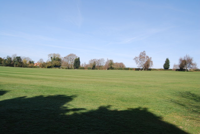
School Field, Cranbrook
School Field Ground is a sports ground owned by Cranbrook School located in the town of Cranbrook, Kent. It is known by the school as Big Side Playing...

Colliers Green
Colliers Green is a village near Cranbrook in Kent, England. Colliers Green School, a Church of England primary school, is located at the centre of the...

High Weald Academy
The High Weald Academy was a coeducational secondary school that opened in 1971 located in Cranbrook, Kent, England. The academy permanently closed in...
Sissinghurst
Sissinghurst is a small village in the borough of Tunbridge Wells in Kent, England. Originally called Milkhouse Street (also referred to as Mylkehouse...
Iden Green
Iden Green is a small village, near Benenden, in the county of Kent. It belongs to the civil parish of Benenden and the Tunbridge Wells Borough District...

St Dunstan's Church, Cranbrook
St Dunstan's Church, also known as the Cathedral of the Weald, in Cranbrook, Kent, England, dates to the late 13th century. It is now Grade I listed.Its...
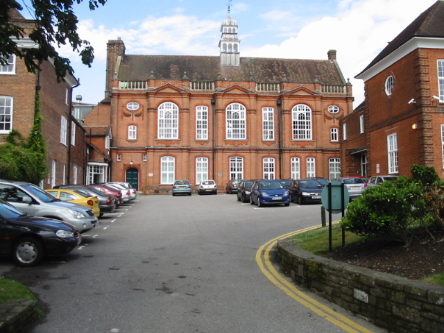
Cranbrook School, Kent
Cranbrook School (formerly Queen Elizabeth's Grammar School) is a co-educational state funded boarding and day grammar school in the market town of Cranbrook...
Nearby Amenities
Located within 500m of 51.116314,0.53726807Have you been to Friezley Wood?
Leave your review of Friezley Wood below (or comments, questions and feedback).