Catstail Wood

Wood, Forest in Kent Tunbridge Wells

England

Catstail Wood

Near Paley Farm The metalled road leads to Paley Farm, the rough track to the right to Hartridge Manor Farm
Near Paley Farm Credit: Richard Croft

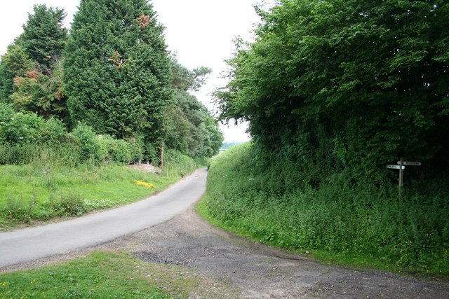
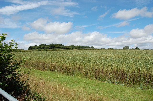
Catstail Wood is a picturesque forest located in the county of Kent, in southeastern England. Covering an area of approximately 50 acres, this woodland is a tranquil haven for nature enthusiasts and outdoor enthusiasts alike.

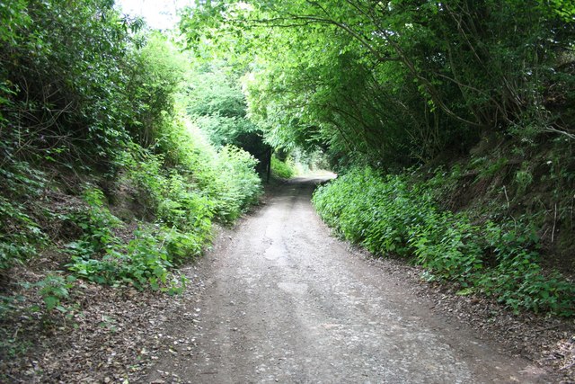
The wood is primarily composed of native broadleaf trees, including oak, beech, and ash, which create a dense canopy that offers shade and shelter for a diverse range of flora and fauna. The forest floor is adorned with an array of wildflowers, such as bluebells and primroses, adding bursts of color to the landscape during the spring and summer months.

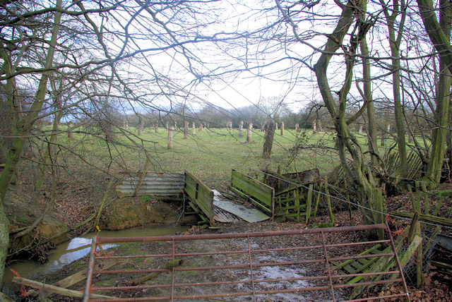
With its well-maintained footpaths, Catstail Wood provides ample opportunities for visitors to explore and immerse themselves in its natural beauty. Walking trails wind through the forest, allowing visitors to discover hidden glades, babbling brooks, and even the occasional wildlife sighting. Birdwatchers can spot a variety of species, including woodpeckers, thrushes, and owls, making it a popular destination for birding enthusiasts.

The wood is open to the public year-round, offering a peaceful retreat from the hustle and bustle of everyday life. Whether it be for a leisurely stroll, a picnic amongst the trees, or simply to enjoy the sights and sounds of nature, Catstail Wood is a perfect destination for those seeking solace in the natural world.

Overall, Catstail Wood in Kent is a charming and idyllic woodland that showcases the beauty of England's countryside, making it a must-visit location for nature lovers and those looking to escape into the tranquility of the outdoors.

If you have any feedback on the listing, please let us know in the comments section below.

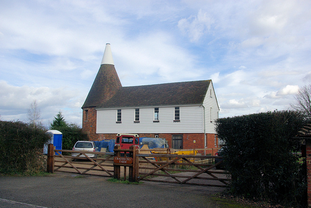
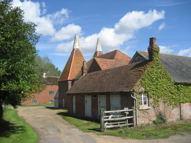
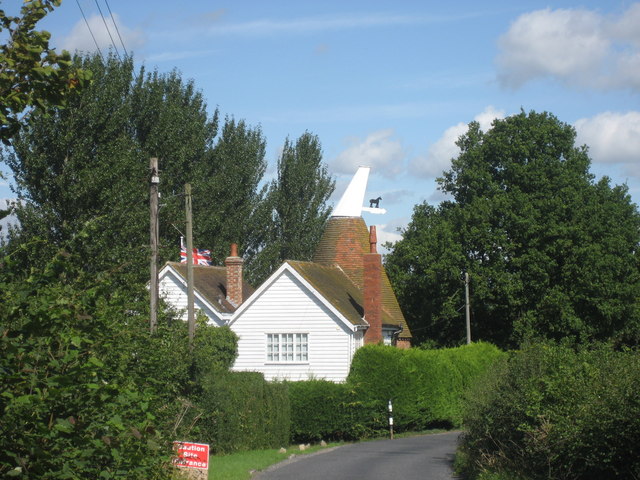
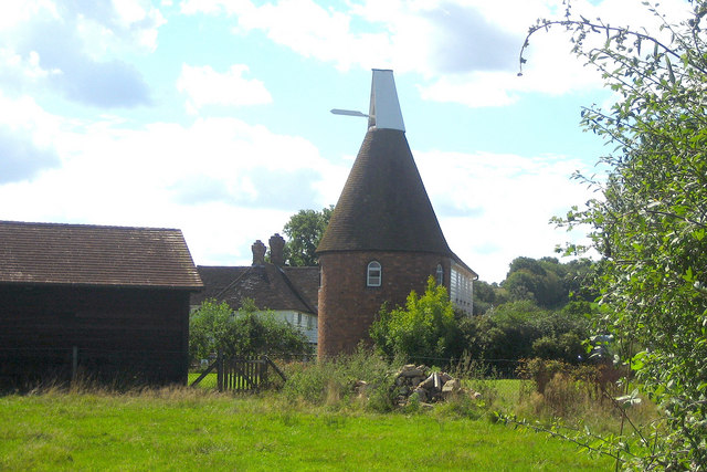
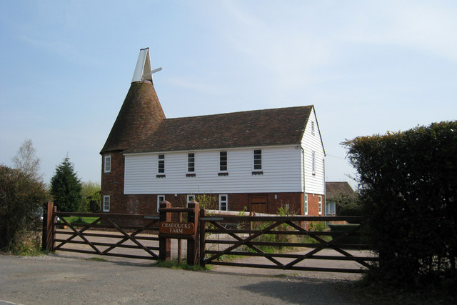
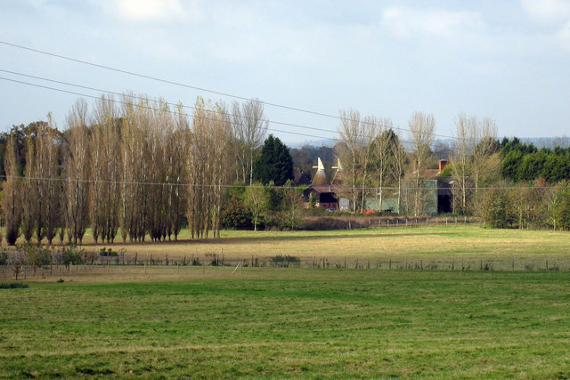
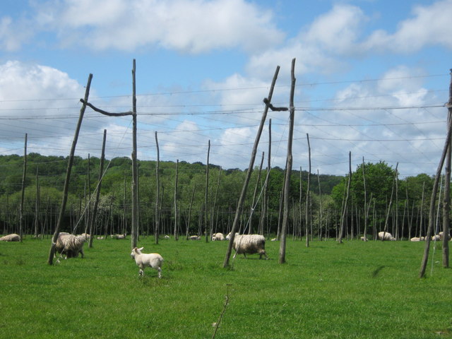
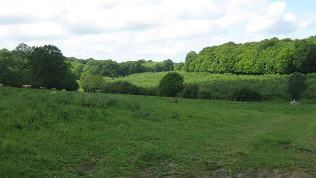
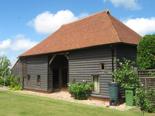
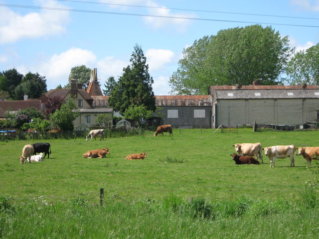
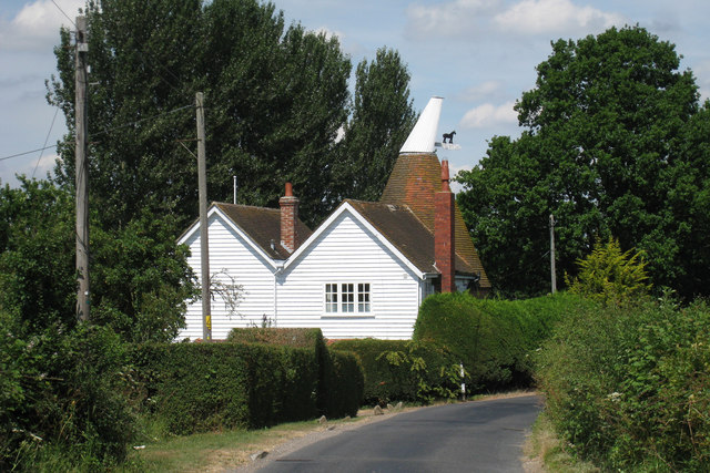
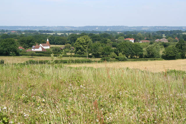
Catstail Wood Images

Images are sourced within 2km of 51.121712/0.53137586 or Grid Reference TQ7738. Thanks to Geograph Open Source API. All images are credited.

Near Paley Farm The metalled road leads to Paley Farm, the rough track to the right to Hartridge Manor Farm
Near Paley Farm
The metalled road leads to Paley Farm, the rough track to the right to Hartridge Manor Farm
Lane to Hartridge Manor Farm
Oast House Single round kiln oast house.

Converted to a dwelling in 2007.
Oast House
Single round kiln oast house. Converted to a dwelling in 2007.
Bridge over Ditch By (but not on, it was eventually decided) the footpath from Bounds End Farm to Rabbit Farm. This path is not recommended for wet winter walking. There is an orchard beyond, with severely pruned trees.
Bridge over Ditch
By (but not on, it was eventually decided) the footpath from Bounds End Farm to Rabbit Farm. This path is not recommended for wet winter walking. There is an orchard beyond, with severely pruned trees.
Cradducks Farm An incomplete oasthouse conversion.
Cradducks Farm
An incomplete oasthouse conversion.
Oast Houses An early C18 twin square kiln oast house and adjacent 1950's oast house.
Oast Houses
An early C18 twin square kiln oast house and adjacent 1950's oast house.
Oast End, Goudhurst Road, Staplehurst, Kent Single round kiln oast house. Known as Oast End.
Oast End, Goudhurst Road, Staplehurst, Kent
Single round kiln oast house. Known as Oast End.
The Oast House, Cradducks Farm, Goudhurst Road, Staplehurst, Kent Single round kiln oast house.

Converted to a dwelling in 2007.
The Oast House, Cradducks Farm, Goudhurst Road, Staplehurst, Kent
Single round kiln oast house. Converted to a dwelling in 2007.
The Oast House, Cradducks Farm, Goudhurst Road, Staplehurst, Kent Recently reconverted from a disused chapel to residential use.
The Oast House, Cradducks Farm, Goudhurst Road, Staplehurst, Kent
Recently reconverted from a disused chapel to residential use.
Oast House Twin round kiln oast house. Originally a four round kiln oast house. Two round kilns to the north end of the stowage were removed sometime after 1960.
Oast House
Twin round kiln oast house. Originally a four round kiln oast house. Two round kilns to the north end of the stowage were removed sometime after 1960.
Oast House at Mathurst Farm, Goudhurst Road, Staplehurst, Kent Two square kilns with modern louvre ventilated roofs. A round kiln was demolished.
Oast House at Mathurst Farm, Goudhurst Road, Staplehurst, Kent
Two square kilns with modern louvre ventilated roofs. A round kiln was demolished.
Sheep in Hop Field This large hop field seems to be abandoned and reused for keeping sheep. Birch Wood is in the background.
Sheep in Hop Field
This large hop field seems to be abandoned and reused for keeping sheep. Birch Wood is in the background.
Bowling Alley Wood As seen from trackway near Goudhurst Road.
Bowling Alley Wood
As seen from trackway near Goudhurst Road.
Converted Barn in Bounds End Farm Farm is on Goudhurst Road.
Converted Barn in Bounds End Farm
Farm is on Goudhurst Road.
Paley Farm As seen from footpath from Paley Lane to A229 Cranbrook Road.
Paley Farm
As seen from footpath from Paley Lane to A229 Cranbrook Road.
Oast End, Goudhurst Road, Staplehurst, Kent Single round kiln oast house. Known as Oast End.
Oast End, Goudhurst Road, Staplehurst, Kent
Single round kiln oast house. Known as Oast End.
View from the top of "Cherry Hill" The oast house centre left is <a href="https://www.geograph.org.uk/photo/773444">TQ7740 : The Oast House, Cradducks Farm, Goudhurst Road, Staplehurst, Kent</a>. The grid square boundary between the featured square and the view point square runs through the arable field just beyond the grassland in the foreground. This area of Kent is still famous for its cherry production although the extent of the orchards is much reduced as are the hop fields which supported the hop drying industry evidenced by the numerous oast houses in the area, many of which have been converted to other uses.

This view is taken from the top of the field opposite the house I lived in during the 1950s which was then a cherry orchard. It was commonly known as Cherry Hill although that name doesn't appear to have been recorded on the maps. Sadly the many cherry orchards here have long disappeared and this field is now fallow. It is, however, a nesting site for skylarks and is carefully watched over by the occupant of my old home.
View from the top of "Cherry Hill"
The oast house centre left is TQ7740 : The Oast House, Cradducks Farm, Goudhurst Road, Staplehurst, Kent. The grid square boundary between the featured square and the view point square runs through the arable field just beyond the grassland in the foreground. This area of Kent is still famous for its cherry production although the extent of the orchards is much reduced as are the hop fields which supported the hop drying industry evidenced by the numerous oast houses in the area, many of which have been converted to other uses. This view is taken from the top of the field opposite the house I lived in during the 1950s which was then a cherry orchard. It was commonly known as Cherry Hill although that name doesn't appear to have been recorded on the maps. Sadly the many cherry orchards here have long disappeared and this field is now fallow. It is, however, a nesting site for skylarks and is carefully watched over by the occupant of my old home.
Crop field off A262
Crop field off A262
Show me another place!

Catstail Wood is located at Grid Ref: TQ7738 (Lat: 51.121712, Lng: 0.53137586)

Administrative County: Kent

District: Tunbridge Wells

Police Authority: Kent

What 3 Words

///agreed.initiates.senior. Near Sissinghurst, Kent

Related Wikis

Colliers Green

Colliers Green is a village near Cranbrook in Kent, England. Colliers Green School, a Church of England primary school, is located at the centre of the...

Swifts Park

Swifts Park is a former country estate and manor house 1 mile (1.6 km) north-east of the town of Cranbrook in the English county of Kent. Through its history...

School Field, Cranbrook

School Field Ground is a sports ground owned by Cranbrook School located in the town of Cranbrook, Kent. It is known by the school as Big Side Playing...

HM Prison Blantyre House

HM Prison Blantyre House was a Category C/D resettlement prison for men, located on the outskirts of Goudhurst in Kent, England. The prison was operated...

Horden, Kent

Horden is a village in the Maidstone district of Kent, England. His Majesty's Prison Blantyre House is located at Horden. The population is included in...

High Weald Academy

The High Weald Academy was a coeducational secondary school that opened in 1971 located in Cranbrook, Kent, England. The academy permanently closed in...

St Dunstan's Church, Cranbrook

St Dunstan's Church, also known as the Cathedral of the Weald, in Cranbrook, Kent, England, dates to the late 13th century. It is now Grade I listed.Its...

Sissinghurst

Sissinghurst is a small village in the borough of Tunbridge Wells in Kent, England. Originally called Milkhouse Street (also referred to as Mylkehouse...

Nearby Amenities

Located within 500m of 51.121712,0.53137586
Power: pole
Lat/Long: 51.1261285/0.5326411
Power: pole
Lat/Long: 51.1253457/0.5313805
Power: pole
Lat/Long: 51.124876/0.5304149
Power: pole
Lat/Long: 51.1242767/0.5292159
Power: pole
Lat/Long: 51.1236623/0.5280143
Power: pole
Lat/Long: 51.1225495/0.5257612
Power: pole
Lat/Long: 51.1218862/0.524506
The data included in this document is from www.openstreetmap.org. The data is made available under ODbL.

Have you been to Catstail Wood?

Leave your review of Catstail Wood below (or comments, questions and feedback).