Temple Wood
Wood, Forest in Norfolk King's Lynn and West Norfolk
England
Temple Wood
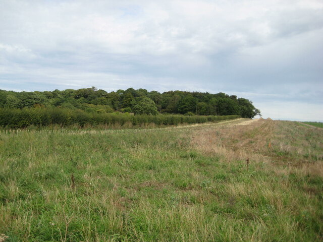
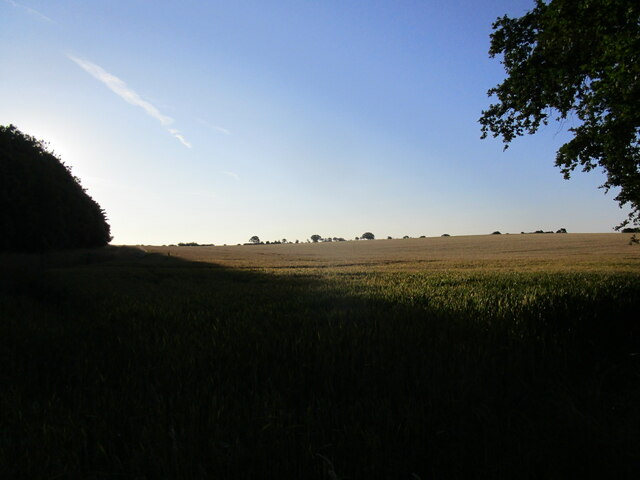
Temple Wood is a picturesque woodland located in Norfolk, England. Covering an area of approximately 30 acres, it is nestled within the beautiful Norfolk countryside, making it a popular destination for nature lovers and outdoor enthusiasts alike.
The woodland is characterized by its diverse range of tree species, including oak, beech, and ash, which create a stunning canopy of foliage throughout the year. This rich variety of trees provides a habitat for a wide array of wildlife, such as deer, squirrels, and a plethora of bird species. Visitors can often spot these animals going about their daily activities in their natural environment.
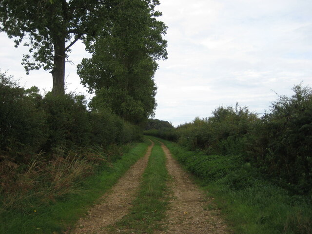
The woodland is also home to a network of walking trails, allowing visitors to explore and immerse themselves in the serene surroundings. The trails wind through the trees, taking visitors on a journey through the different sections of the wood, each with its own unique charm.
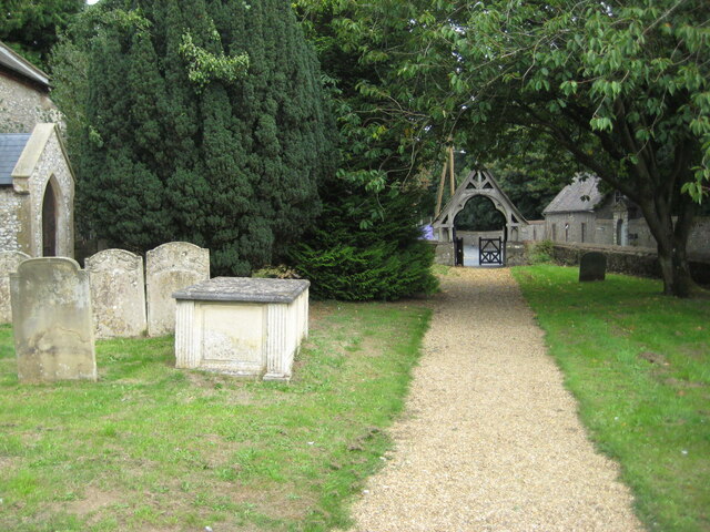
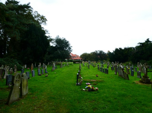
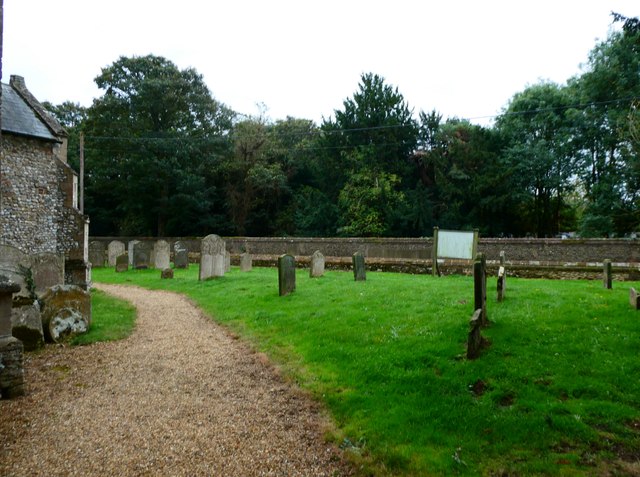
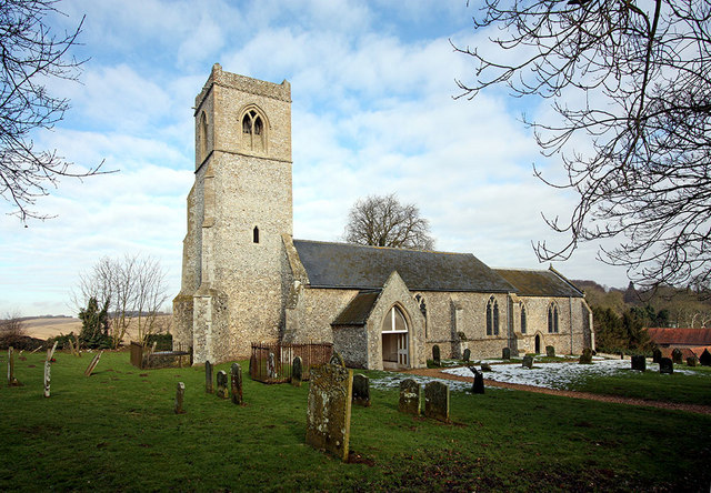
One of the standout features of Temple Wood is the presence of ancient ruins. The remnants of a medieval temple can be found within the woodland, adding an extra layer of intrigue and historical significance to the area. This historical element adds to the enchanting atmosphere of the woodland, allowing visitors to experience a sense of connection to the past.
Overall, Temple Wood is a tranquil and idyllic destination, offering a peaceful retreat from the hustle and bustle of everyday life. Its natural beauty, diverse wildlife, and historical ruins make it a must-visit location for those seeking a truly immersive and enchanting woodland experience.
If you have any feedback on the listing, please let us know in the comments section below.
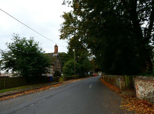
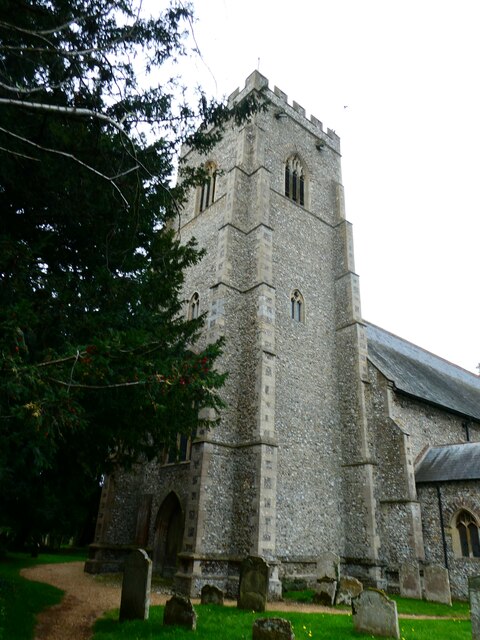
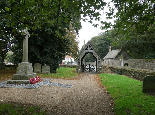
Temple Wood Images
Images are sourced within 2km of 52.895846/0.6254756 or Grid Reference TF7636. Thanks to Geograph Open Source API. All images are credited.


Temple Wood is located at Grid Ref: TF7636 (Lat: 52.895846, Lng: 0.6254756)
Administrative County: Norfolk
District: King's Lynn and West Norfolk
Police Authority: Norfolk
What 3 Words
///imposes.nuzzling.branded. Near Snettisham, Norfolk
Nearby Locations
Related Wikis

Docking, Norfolk
Docking is a village and ancient civil parish in the north-west of the English county of Norfolk. It is near the North Norfolk Coast Site of Special Scientific...

Docking railway station
Docking railway station was a station in Norfolk, serving the village of Docking. It closed to passengers in 1952. == References ==

Bircham Newton
Bircham Newton is the smallest of the three villages that make up the civil parish of Bircham, in the west of the English county of Norfolk. The village...

RAF Bircham Newton
Royal Air Force Bircham Newton or more simply RAF Bircham Newton is a former Royal Air Force station located 2.1 miles (3.4 km) south east of Docking,...

Stanhoe
Stanhoe is a village and civil parish in the English county of Norfolk, 6.4 miles (10.2 km) from the North Sea. It covers an area of 6.06 km2 (2.34 sq...
Fring, Norfolk
Fring is a civil parish in the English county of Norfolk. It covers an area of 6.93 km2 (2.68 sq mi) and had a population of 94 in 41 households at the...
Barwick, Norfolk
Barwick is a scattered hamlet and civil parish in the north-west part of the English county of Norfolk. It is situated adjacent to the slightly larger...
RAF Docking
Royal Air Force Docking or more simply RAF Docking is a former Royal Air Force satellite station a few miles from Bircham Newton in Norfolk, England....
Nearby Amenities
Located within 500m of 52.895846,0.6254756Have you been to Temple Wood?
Leave your review of Temple Wood below (or comments, questions and feedback).