Wellington Plantation
Wood, Forest in Norfolk King's Lynn and West Norfolk
England
Wellington Plantation
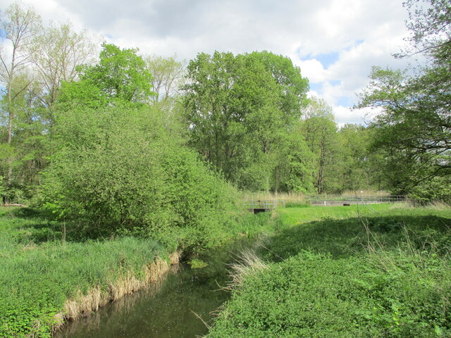
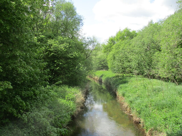
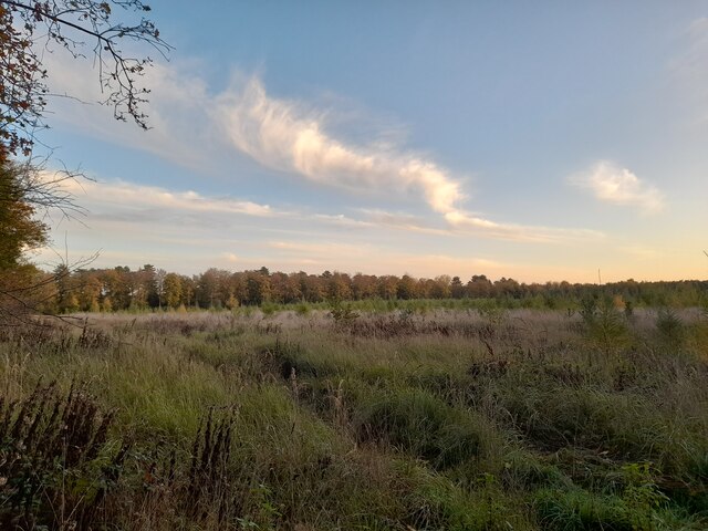
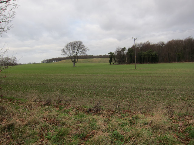
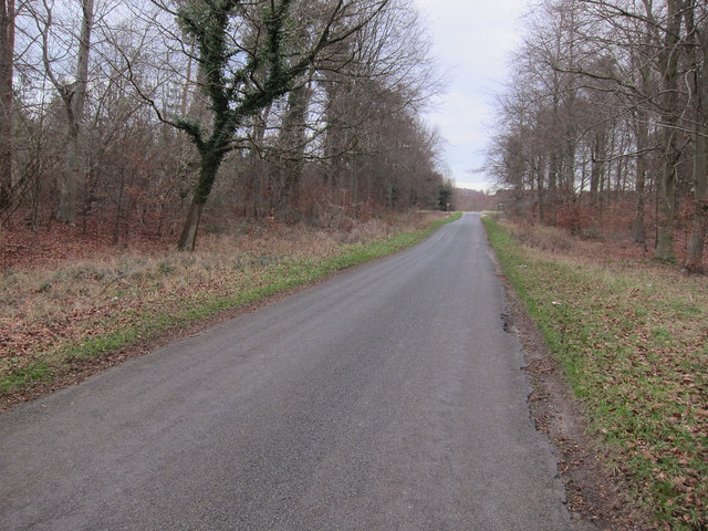
Wellington Plantation is a sprawling woodland located in Norfolk, England. Covering an expansive area, it is renowned for its scenic beauty and rich biodiversity. The plantation is named after the Duke of Wellington, who once owned the land and contributed to its development.
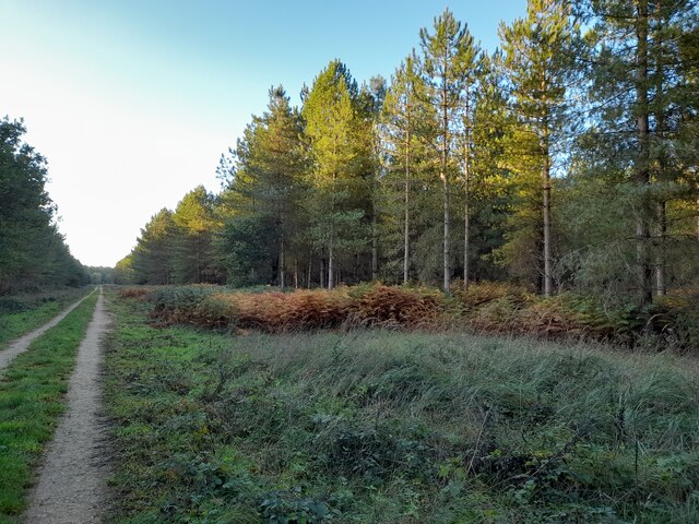
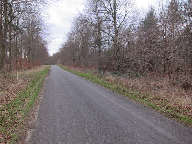
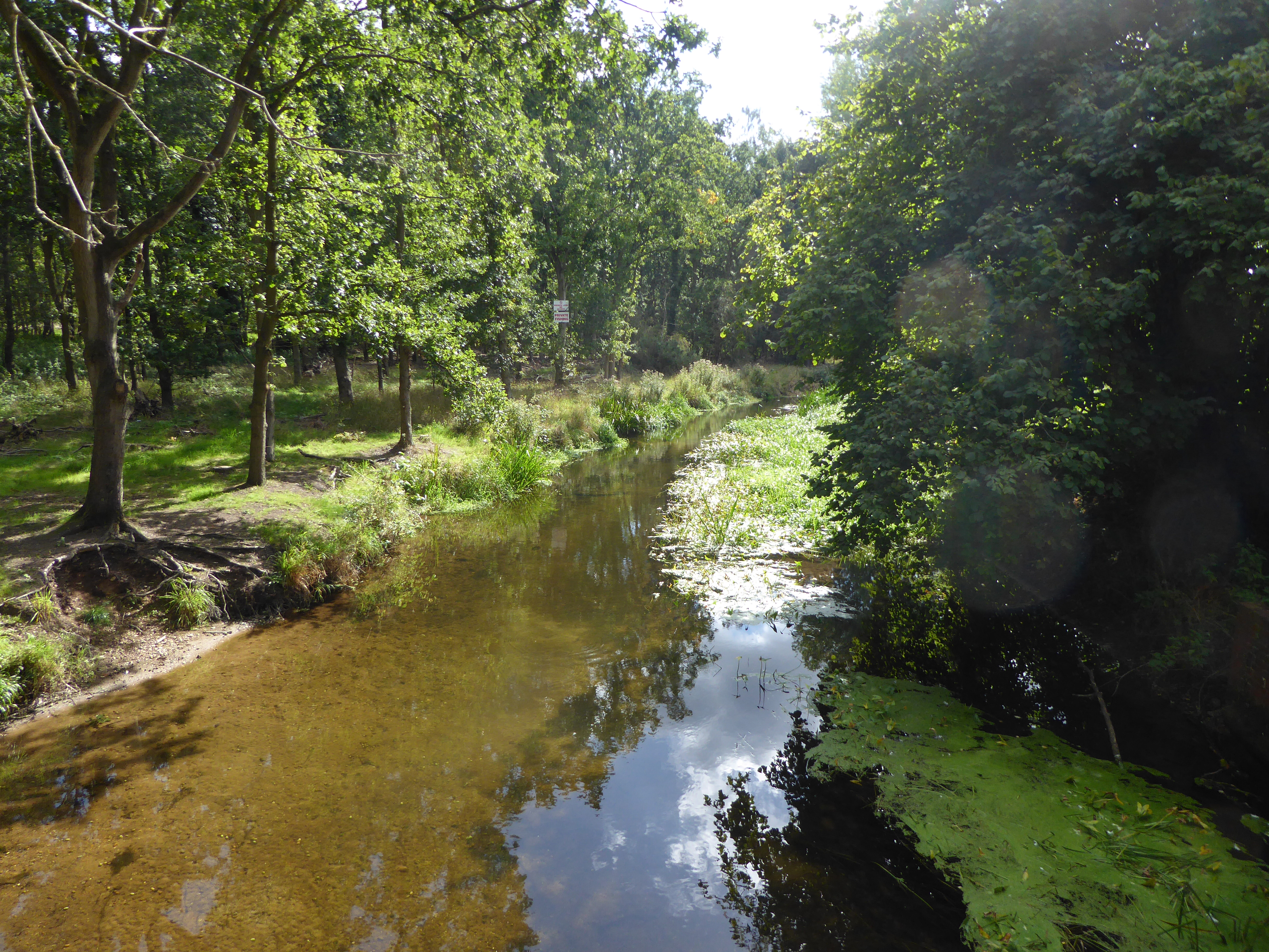
The woodland is predominantly composed of various species of trees, including oak, birch, beech, and pine. These trees form a dense canopy, providing shade and shelter to the numerous flora and fauna that call the plantation home. The forest floor is carpeted with a lush carpet of ferns, bluebells, and wildflowers, creating a vibrant and picturesque landscape.
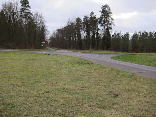
The plantation is a haven for wildlife enthusiasts and nature lovers alike. It is home to a diverse range of animal species, including deer, foxes, badgers, and a variety of bird species. Birdwatchers can often spot woodpeckers, owls, and various songbirds within the woodland.
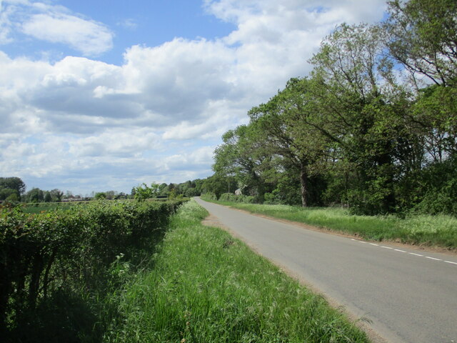
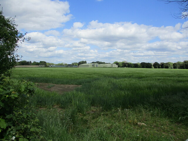
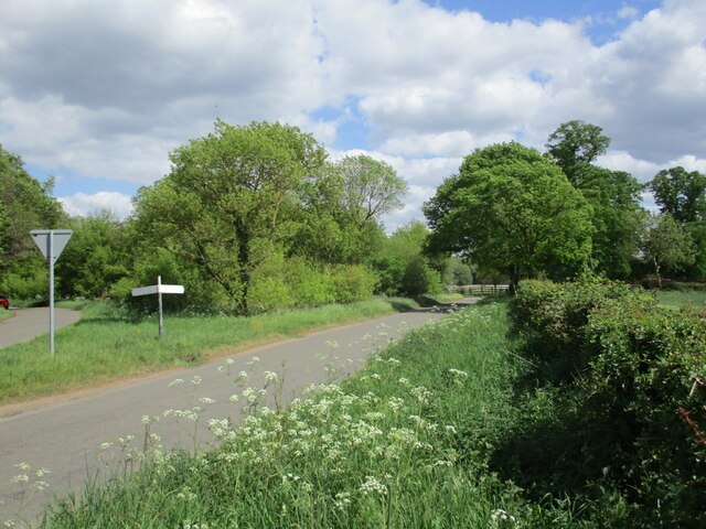
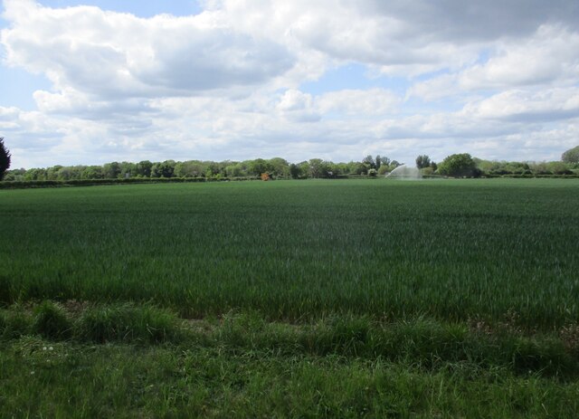
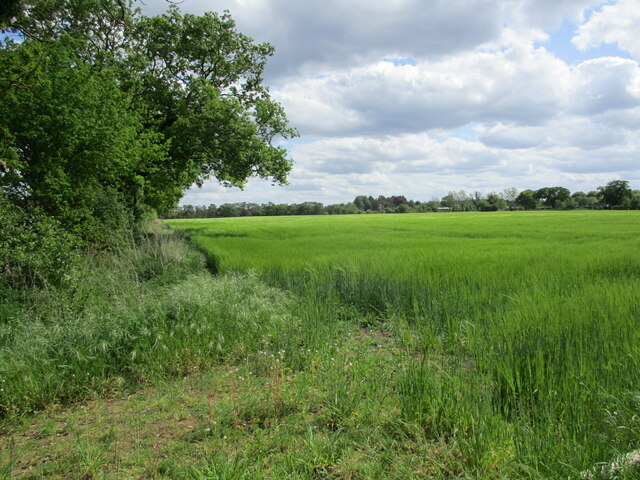
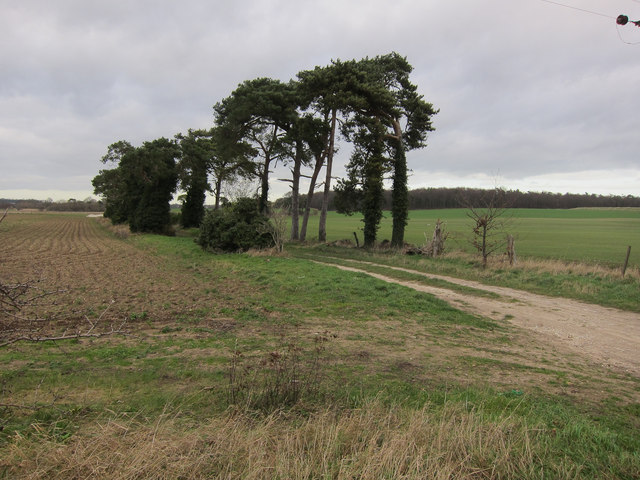
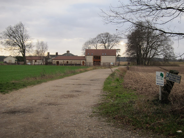
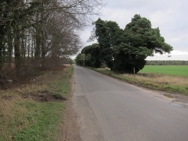
Wellington Plantation offers several walking trails and paths, allowing visitors to explore its natural wonders. These trails are well-maintained and offer breathtaking views of the surrounding countryside. Additionally, there are picnic areas and benches scattered throughout the plantation, providing visitors with the perfect spot to relax and enjoy the tranquility of nature.
The plantation is managed by a team of dedicated conservationists, who work tirelessly to preserve the natural beauty and ecological balance of the woodland. They organize educational programs and guided tours to raise awareness about the importance of conservation and sustainable practices.
In conclusion, Wellington Plantation in Norfolk is a remarkable woodland that offers a peaceful retreat for nature enthusiasts. With its diverse flora and fauna, scenic trails, and commitment to conservation, it is a true gem of natural beauty in the heart of England.
If you have any feedback on the listing, please let us know in the comments section below.
Wellington Plantation Images
Images are sourced within 2km of 52.524342/0.60324253 or Grid Reference TL7695. Thanks to Geograph Open Source API. All images are credited.
Wellington Plantation is located at Grid Ref: TL7695 (Lat: 52.524342, Lng: 0.60324253)
Administrative County: Norfolk
District: King's Lynn and West Norfolk
Police Authority: Norfolk
What 3 Words
///royal.foggy.sweetened. Near Mundford, Norfolk
Nearby Locations
Related Wikis

Cranwich Camp
Cranwich Camp is a 13.1-hectare (32-acre) biological Site of Special Scientific Interest north-west of Thetford in Norfolk. It is part of the Breckland...

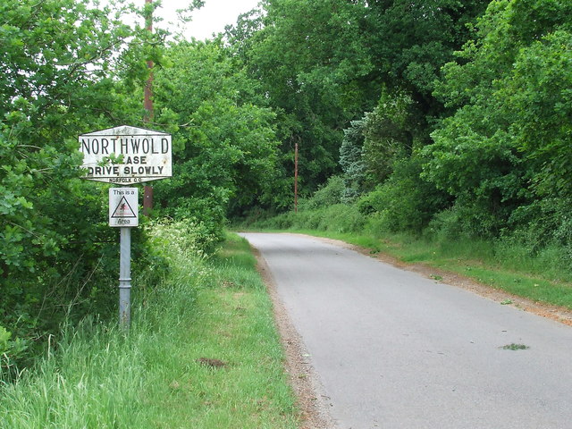
The Brinks, Northwold
The Brinks, Northwold or Northwold Meadows is a 16.4-hectare (41-acre) biological Site of Special Scientific Interest south of Northwold in Norfolk, England...

Cranwich
Cranwich is a village and civil parish in the English county of Norfolk, about 2 miles (3.2 km) northwest of Mundford. For the purposes of local government...
Didlington Park Lakes
Didlington Park Lakes is a 26.1-hectare (64-acre) biological Site of Special Scientific Interest south of Didlington in Norfolk.These three artificial...

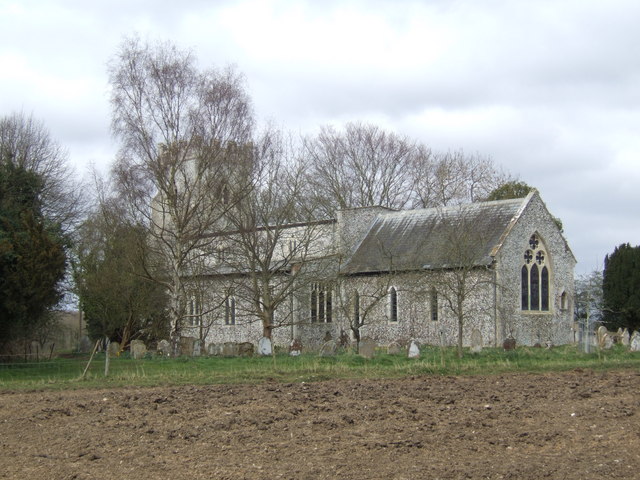
St Andrew's Church, Northwold
St Andrew's Church is an active Church of England parish church in the village of Northwold, Norfolk, England. It is a Grade I listed building. ��2...

Northwold
Northwold ("North forest") is a village and civil parish in the English county of Norfolk. It covers an area of 19.72 km2 (7.61 sq mi) and had a population...

South West Norfolk (UK Parliament constituency)
South West Norfolk is a constituency represented in the House of Commons of the UK Parliament since 2010 by Liz Truss of the Conservative Party, who briefly...
Didlington
Didlington is a village in the Breckland district of mid-Norfolk, East Anglia, England in the United Kingdom. It has an area of 11.07 km2 (4.27 sq mi)...
Have you been to Wellington Plantation?
Leave your review of Wellington Plantation below (or comments, questions and feedback).