Rougham Belt
Wood, Forest in Norfolk King's Lynn and West Norfolk
England
Rougham Belt

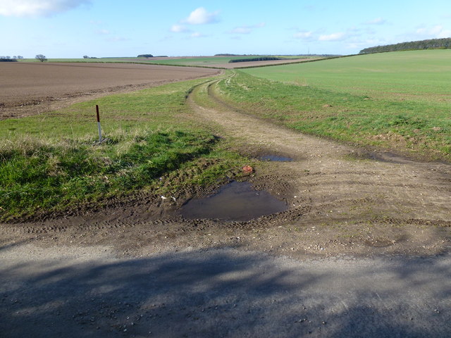
Rougham Belt is a small woodland area located in the county of Norfolk, England. Covering an approximate area of 30 hectares, it is situated near the village of Rougham, just north of the town of King's Lynn. The woodland is part of the larger West Norfolk Woodlands Site of Special Scientific Interest (SSSI), which encompasses several other wooded areas in the region.
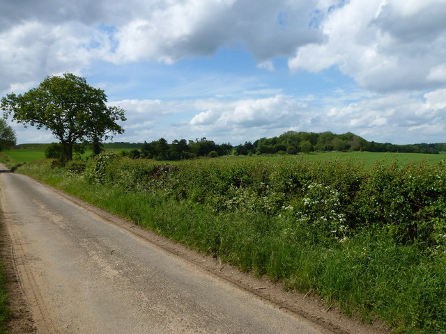
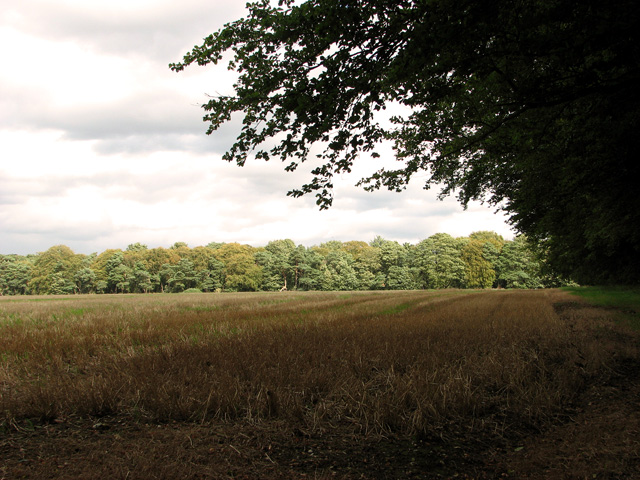
Rougham Belt is primarily composed of deciduous trees, including oak, birch, and ash, with a diverse understory of shrubs and ground vegetation. The woodland is known for its rich biodiversity, providing habitat for a variety of wildlife species. It is particularly noted for its bird population, with species such as woodpeckers, owls, and warblers frequently spotted in the area.
The woodland is open to the public and offers various walking trails, allowing visitors to explore its natural beauty. The paths wind through the trees, providing opportunities for nature enthusiasts to observe the local flora and fauna. Interpretive signs are placed along the trails, providing information about the different species that can be found within the woodland.
Rougham Belt also holds historical significance, with evidence of prehistoric occupation discovered in the area. Archaeological finds, including flint tools and pottery fragments, suggest human activity dating back thousands of years.
Overall, Rougham Belt is a cherished natural and historical gem in Norfolk, providing a tranquil escape for visitors and serving as an important habitat for local wildlife.
If you have any feedback on the listing, please let us know in the comments section below.
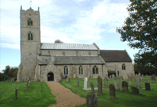
Rougham Belt Images
Images are sourced within 2km of 52.749239/0.61661943 or Grid Reference TF7620. Thanks to Geograph Open Source API. All images are credited.


Rougham Belt is located at Grid Ref: TF7620 (Lat: 52.749239, Lng: 0.61661943)
Administrative County: Norfolk
District: King's Lynn and West Norfolk
Police Authority: Norfolk
What 3 Words
///curls.mason.waltzed. Near Grimston, Norfolk
Nearby Locations
Related Wikis
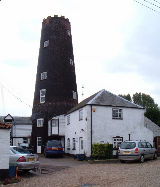
Gayton Windmill, Norfolk
For the Gayton Windmill now in Merseyside see Gayton Windmill, Cheshire Gayton Mill is a Grade II listed tower mill at Gayton, Norfolk, England which...

KL.FM 96.7
KL.FM 96.7 (King's Lynn FM) was an Independent Local Radio station located in King's Lynn, Norfolk, England. It broadcast from a former bank building at...
Gayton Thorpe Roman Villa
Gayton Thorpe Roman Villa is the site of a Roman villa, near Gayton Thorpe and about 5 miles (8 km) east of King's Lynn, in Norfolk, England. It was discovered...
St Nicholas Church, Gayton
St Nicholas Church is a Church of England church located in Gayton, Norfolk. == Overview == The construction of the church building was completed in 1604...
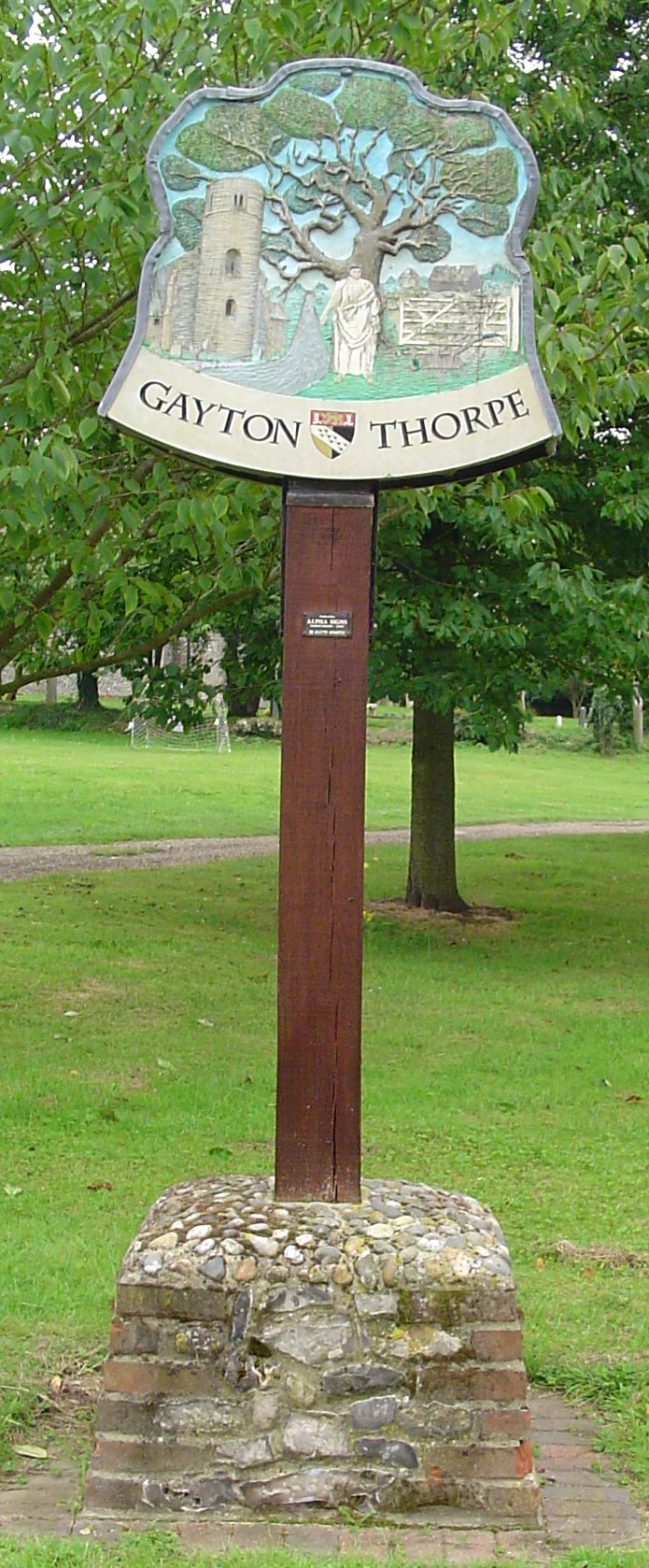
Gayton Thorpe
Gayton Thorpe is a village and former civil parish, now in the parish of Gayton, in the King's Lynn and West Norfolk district, in the county of Norfolk...

Gayton, Norfolk
Gayton is a village and civil parish in the English county of Norfolk. The village is located 6 miles (9.7 km) east of King's Lynn and 32 miles (51 km...

Great Massingham
Great Massingham is a village and civil parish in the English county of Norfolk. It has a primary school (including a pre-school in the grounds), a village...

East Walton
East Walton is a village in the English county of Norfolk. The village is located 7.8 miles (12.6 km) south-east of King's Lynn and 31 miles (50 km) north...
Have you been to Rougham Belt?
Leave your review of Rougham Belt below (or comments, questions and feedback).