Fingerpost

Settlement in Worcestershire Wyre Forest

England

Fingerpost

New Forest Close, Far Forest
New Forest Close, Far Forest Credit: Alex McGregor

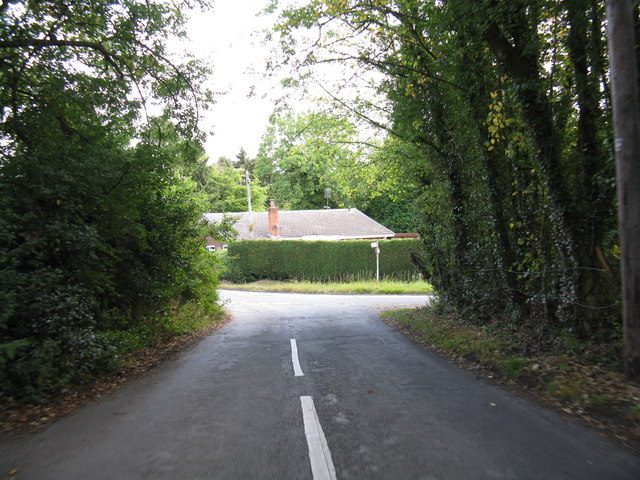
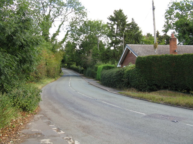
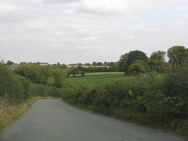
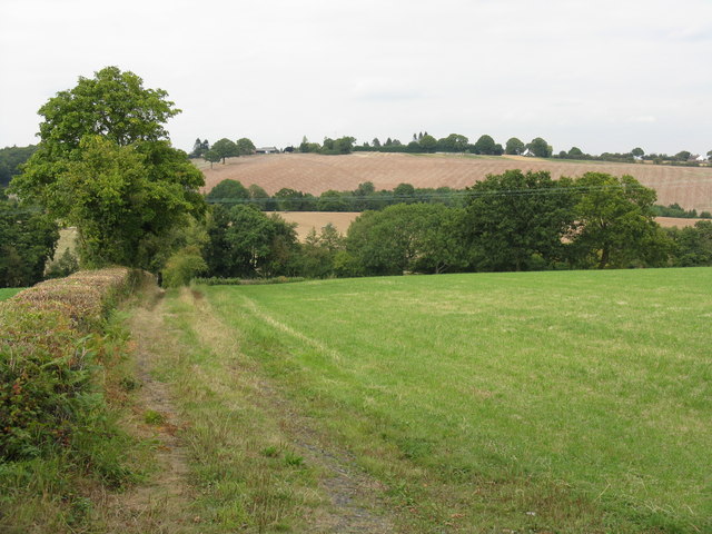
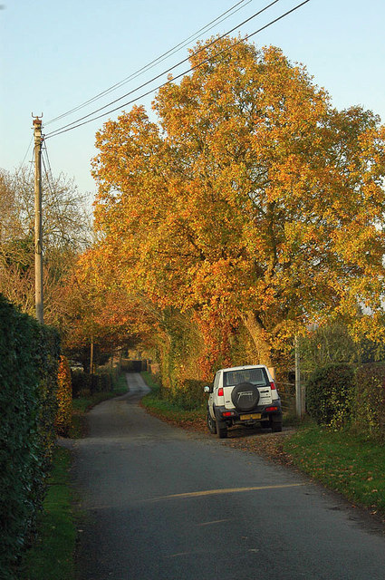
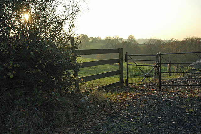
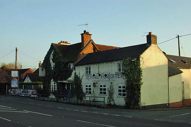
Fingerpost is a small village located in the county of Worcestershire, England. Situated in the northwestern part of the county, it falls within the district of Wychavon. The village is nestled amidst the picturesque countryside, surrounded by rolling hills and verdant fields.

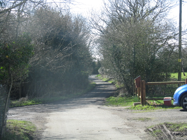
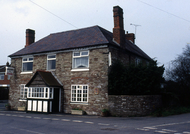
Fingerpost is characterized by its quaint and peaceful atmosphere, making it an idyllic location for those seeking a tranquil rural setting. The village is predominantly residential, with a small number of houses and farms scattered throughout its vicinity. The architecture reflects the traditional English countryside style, with charming cottages and well-maintained gardens.

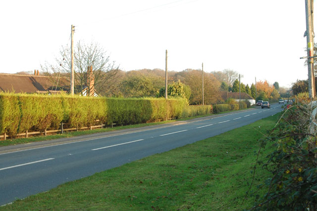
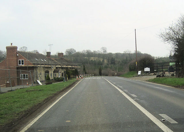
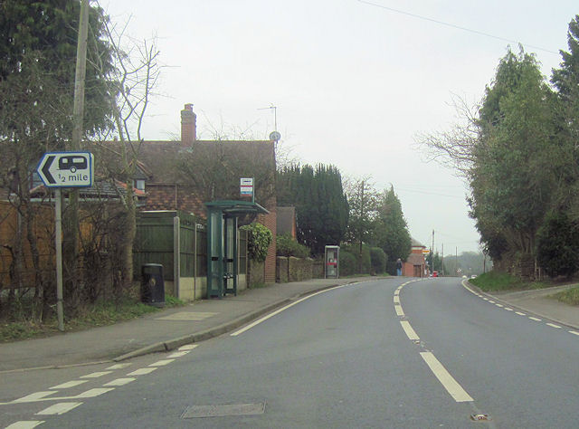
Despite its small size, Fingerpost is well-connected to nearby towns and cities. The village benefits from good road links, with the A38 passing just a short distance to the east, providing easy access to Worcester and Birmingham. The nearby M5 motorway also offers convenient connections to other parts of the country.

For amenities, Fingerpost is in close proximity to the larger town of Droitwich Spa, which provides a range of services including shops, supermarkets, schools, and medical facilities. The village itself offers a peaceful escape from the hustle and bustle of urban life, with opportunities for leisurely walks and exploring the surrounding countryside.

Overall, Fingerpost, Worcestershire is a charming rural village that offers a tranquil and picturesque setting for its residents. Its location provides a balance between the peace of the countryside and the convenience of nearby towns, making it an attractive place to call home.

If you have any feedback on the listing, please let us know in the comments section below.
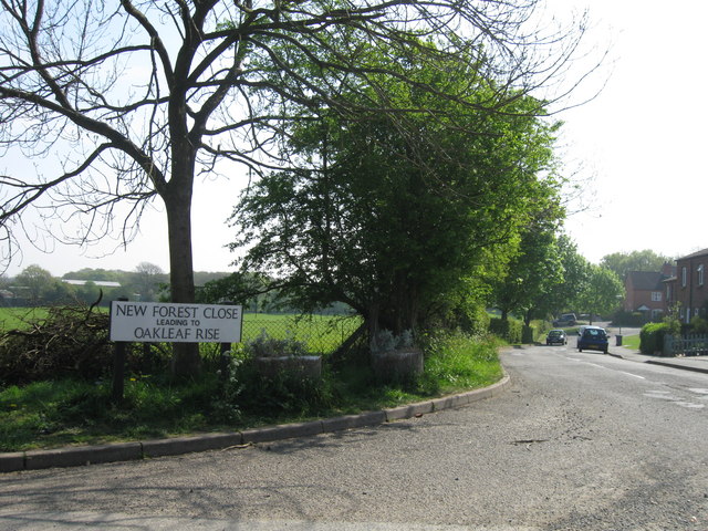
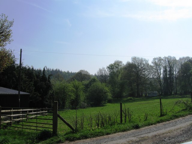
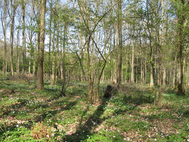
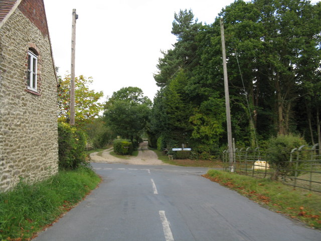
Fingerpost Images

Images are sourced within 2km of 52.363383/-2.3979281 or Grid Reference SO7374. Thanks to Geograph Open Source API. All images are credited.

New Forest Close, Far Forest
Fields at Cook's Green Farm
Woodland at Cook's Green Farm
Lane junction near Gorst Hill
Lane junction at Callow Hill
North from Callow Hill
A456 from the entrance to Gybhouse Farm
Rolling countryside from Rectory Lane
Farm access track off Rectory Lane
Far Forest Village Hall
Lane off Station Road
Fenced off
Fenced off
A4117 near Whitehouse Farm
The Royal Forester
The Royal Forester
Path near Rose Bine
Path near Rose Bine
The Collier's Arms A roadside pub which has a "farm shop" attached, though most of the items on offer were not local produce.  Beer (Hobson's) cheap for the area, but food significantly more expensive than nearby Bewdley.  Service poor when we visited.
The Collier's Arms
A roadside pub which has a "farm shop" attached, though most of the items on offer were not local produce. Beer (Hobson's) cheap for the area, but food significantly more expensive than nearby Bewdley. Service poor when we visited.
Former Horse and Jockey from A4117 eastbound
A4117 east through Far Forest At junction of New Road. Phone box can be seen
A4117 east through Far Forest
At junction of New Road. Phone box can be seen
Show me another place!

Fingerpost is located at Grid Ref: SO7374 (Lat: 52.363383, Lng: -2.3979281)

Administrative County: Worcestershire

District: Wyre Forest

Police Authority: West Mercia

What 3 Words

///wires.clattered.probing. Near Bewdley, Worcestershire

Related Wikis

Fingerpost, Worcestershire

Fingerpost is a hamlet and road junction in north Worcestershire, England, approximately 3 miles (4.8 km) west of Bewdley. It is located at the junction...
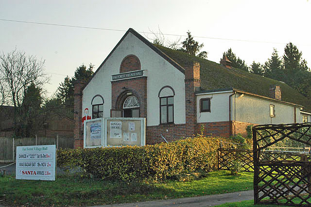
Far Forest

Far Forest is a small village in north Worcestershire, England, approximately 3.5 miles (5.6 km) west of Bewdley, and next to the border with Shropshire...

Wyre Forest railway station

Wyre Forest railway station was a station to the north of Far Forest, Worcestershire, England. The station which served the Wyre Forest was opened in 1869...

Bliss Gate

Bliss Gate is a small village in Worcestershire, England. It had many attractive tourist landmarks such as the Bliss Gate Inn (now closed) and a village...

Clows Top

Clows Top is a village in north Worcestershire, England. There is a village shop/post office, a butcher's, a village hall (named the "Victory Hall") and...

Rock, Worcestershire

Rock is a village and civil parish in the Wyre Forest District of Worcestershire, England, which lies south-west of Bewdley. It had a population of 2,366...

Church of St Peter and St Paul, Rock

The Church of St Peter and St Paul is an Anglican church in the village of Rock, in Worcestershire, England. It is in the parish of Rock with Heightington...

Rock moated site and medieval village

Rock moated site and medieval village is an archaeological site, including a deserted medieval village, in Worcestershire, England, near the village of...

Nearby Amenities

Located within 500m of 52.363383,-2.3979281
Far Forest- Plough Inn (A4117)
Fixme: Official bus stop is some 100m NW, and is currently not shown; not sure whether this is supposed to be it or another one.
Naptan AtcoCode: 2000G046400
Naptan Bearing: N
Naptan BusStopType: CUS
Naptan CommonName: Far Forest- Plough Inn (A4117)
Naptan Indicator: Opp
Naptan Landmark: Public House
Naptan NaptanCode: wocdjmpd
Naptan Street: (A4117)
Naptan Verified: no
Source: naptan_import
Lat/Long: 52.3675254/-2.3978303
Bus Stop
Pound Bank(K'minster)-Council Houses
Bus: yes
Naptan AtcoCode: 2000G197500
Naptan Bearing: N
Naptan CommonName: Pound Bank(K'minster)-Council Houses
Naptan Indicator: Adj
Naptan Landmark: Opp. The Worrals Farm
Naptan NaptanCode: wocdjwjd
Naptan Street: Pound Bank Road
Naptan Verified: no
Public Transport: platform
Source: naptan_import
Lat/Long: 52.361166/-2.3965834
Bus Stop
Far Forest- Plough Inn- (A4117)
Bus: yes
Naptan AtcoCode: 2000G591593
Naptan Bearing: S
Naptan BusStopType: CUS
Naptan CommonName: Far Forest- Plough Inn- (A4117)
Naptan Indicator: Opp
Naptan Landmark: Public House
Naptan NaptanCode: wocgdtpj
Naptan Street: A4117
Naptan Verified: no
Public Transport: platform
Source: naptan_import
Lat/Long: 52.3672757/-2.3977103
Post Box
Collection Plate: CP1
Collection Times: Mo-Fr 17:00; Sa 10:30
Historic Operator: Royal Mail
Post Box Type: pillar
Ref: DY14 151
Royal Cypher: EIIR
Royal Cypher Wikidata: Q33102113
Source: survey;gps
Lat/Long: 52.3675876/-2.397932
Post Office
Far Forest Post Office
Addr City: Kidderminster
Addr Housename: Forest Stores
Addr Postcode: DY14 9TF
Addr Street: Cleobury Road
Addr Village: Far Forest
Opening Hours: Mo-We 09:00-13:00,14:00-17:30; Th,Fr 09:00-13:00,14:00-17:00; Sa 09:00-12:30
Ref Pol Id: 10207
Source: pol_branch_list_2018-02
Lat/Long: 52.36766/-2.39782
Turning Loop
Lat/Long: 52.3627218/-2.4029574
Noexit: yes
Lat/Long: 52.3613534/-2.3960065
Barrier: bollard
Lat/Long: 52.3659053/-2.3956766
Noexit: yes
Lat/Long: 52.3635329/-2.3973808
Generator Method: photovoltaic
Generator Output Electricity: yes
Generator Source: solar
Generator Type: solar_photovoltaic_panel
Location: roof
Power: generator
Lat/Long: 52.3616607/-2.3914281
Generator Method: photovoltaic
Generator Output Electricity: yes
Generator Source: solar
Generator Type: solar_photovoltaic_panel
Location: roof
Power: generator
Lat/Long: 52.3615985/-2.3915327
Noexit: yes
Lat/Long: 52.3613257/-2.3958296
Generator Method: photovoltaic
Generator Output Electricity: yes
Generator Source: solar
Generator Type: solar_photovoltaic_panel
Location: roof
Power: generator
Lat/Long: 52.3637376/-2.3965417
Power: pole
Lat/Long: 52.3676303/-2.3971345
Power: pole
Lat/Long: 52.3671721/-2.3969816
Power: pole
Lat/Long: 52.3670976/-2.3987556
Power: pole
Lat/Long: 52.367498/-2.399637
Power: pole
Lat/Long: 52.3672487/-2.3990945
Power: pole
Lat/Long: 52.3668613/-2.3982254
Power: pole
Lat/Long: 52.3666611/-2.3978204
Power: pole
Lat/Long: 52.3655155/-2.3980451
Power: pole
Lat/Long: 52.3660019/-2.3977366
Power: pole
Lat/Long: 52.3664785/-2.3974442
Power: pole
Lat/Long: 52.3669191/-2.3971599
Give Way
Direction: backward
Lat/Long: 52.362139/-2.3910244
Entrance: main
Lat/Long: 52.3655038/-2.3958283
The data included in this document is from www.openstreetmap.org. The data is made available under ODbL.

Have you been to Fingerpost?

Leave your review of Fingerpost below (or comments, questions and feedback).