Rousebind Coppice
Wood, Forest in Worcestershire Wyre Forest
England
Rousebind Coppice
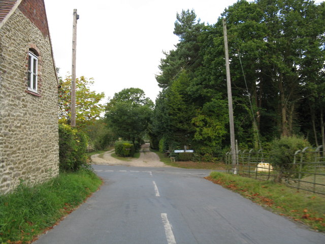
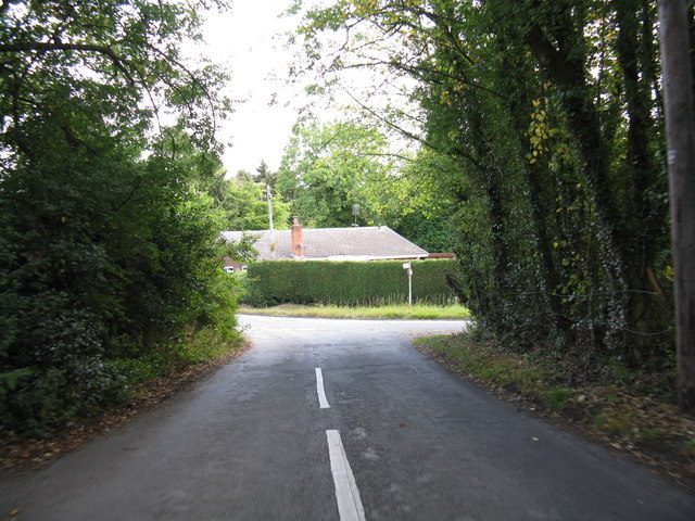
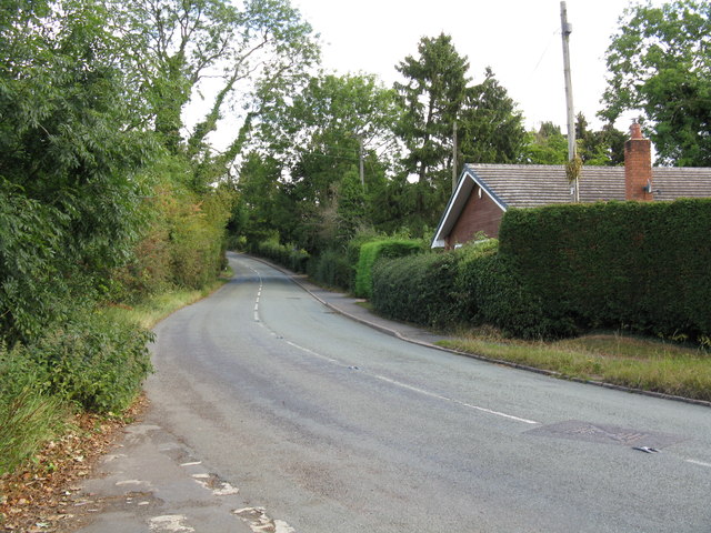
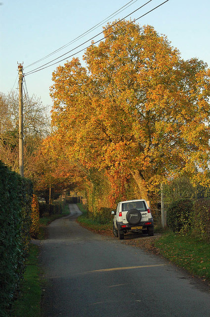
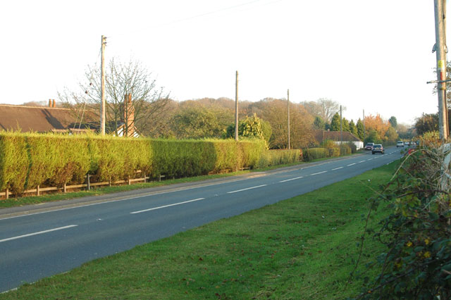
Rousebind Coppice is a picturesque woodland located in Worcestershire, England. Situated on the outskirts of the town of Bewdley, this ancient forest is renowned for its natural beauty and diverse ecosystem. Covering an area of approximately 100 acres, Rousebind Coppice is a haven for wildlife and a popular destination for nature enthusiasts.
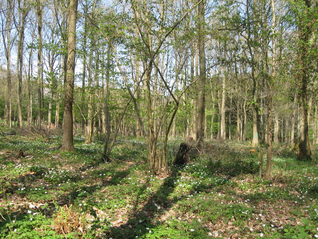
The woodland is predominantly composed of a mixture of deciduous and coniferous trees, creating a stunning visual display throughout the seasons. The towering oak and beech trees provide a dense canopy, allowing only dappled sunlight to filter through to the forest floor. This creates a unique microclimate, supporting a wide range of plant species, including bluebells, wild garlic, and wood anemones.
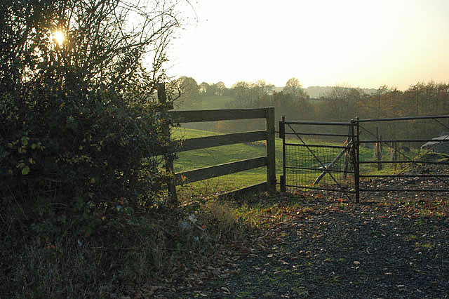
Rousebind Coppice is home to a variety of wildlife, making it a haven for nature lovers. Visitors may catch a glimpse of resident deer, foxes, and badgers, as well as a vibrant array of bird species, including woodpeckers, owls, and buzzards. The forest is also a popular breeding ground for butterflies and other insects, adding to its biodiversity.
The woodland offers a network of well-maintained trails, providing visitors with the opportunity to explore its natural wonders. Whether on foot or by bicycle, the diverse landscape of Rousebind Coppice offers something for everyone. The peaceful atmosphere and stunning scenery make it a perfect spot for a leisurely stroll or a picnic in the great outdoors.
Rousebind Coppice is not only a natural gem but also a site of historical significance. It is believed to have been part of the ancient Wyre Forest, which dates back to the medieval times. The forest has been managed sustainably for centuries, providing timber for local industries and contributing to the region's rich heritage.
In conclusion, Rousebind Coppice is a captivating woodland that showcases the beauty of Worcestershire's natural landscape. With its diverse flora and fauna, as well as its historical
If you have any feedback on the listing, please let us know in the comments section below.
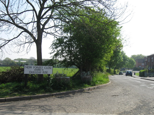
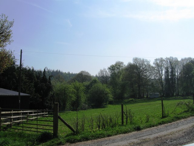
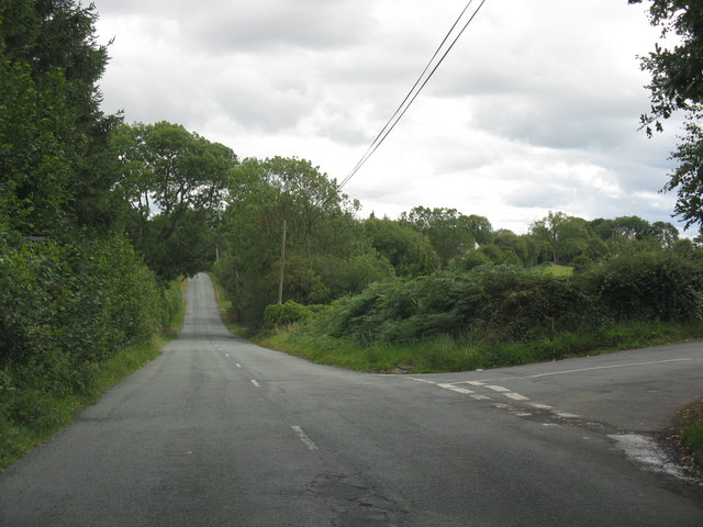
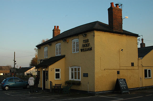
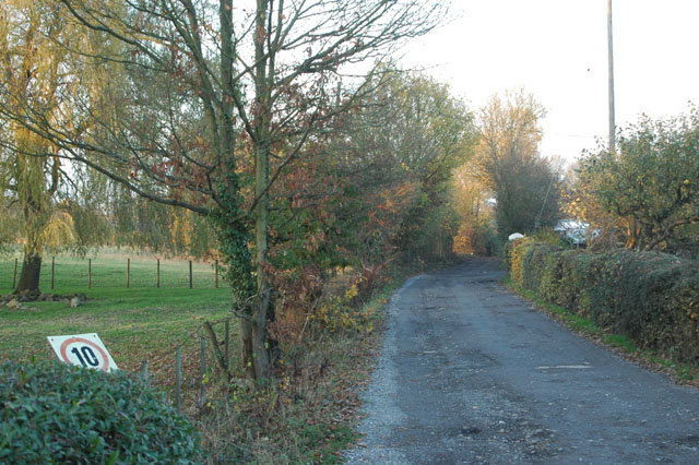
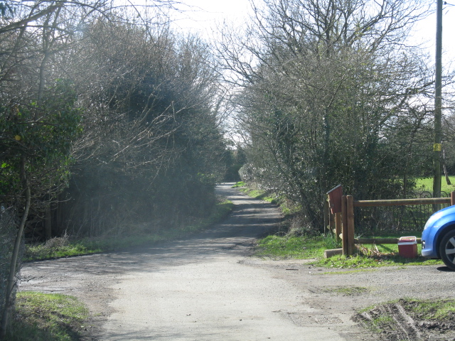
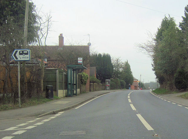
Rousebind Coppice Images
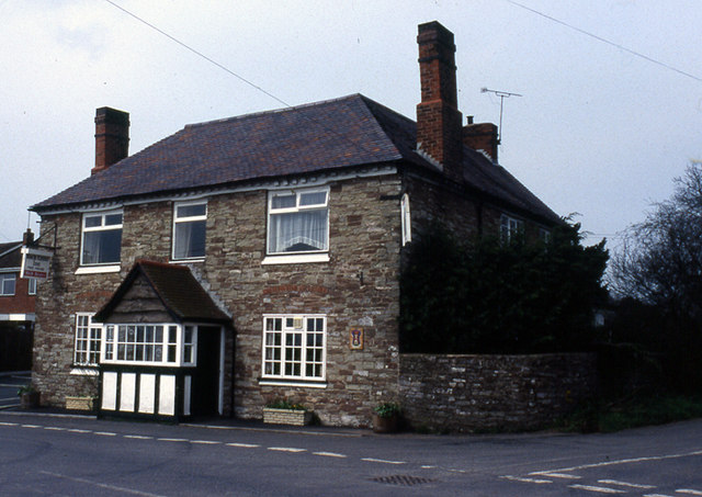
Images are sourced within 2km of 52.368049/-2.384179 or Grid Reference SO7374. Thanks to Geograph Open Source API. All images are credited.

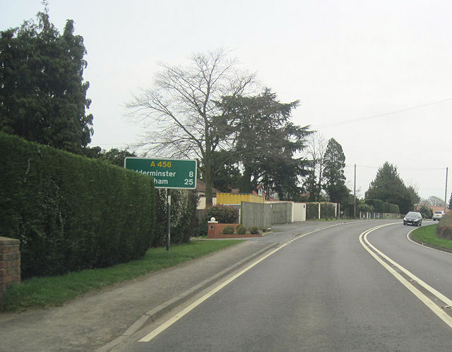
Rousebind Coppice is located at Grid Ref: SO7374 (Lat: 52.368049, Lng: -2.384179)
Administrative County: Worcestershire
District: Wyre Forest
Police Authority: West Mercia
What 3 Words
///crossword.easygoing.tightrope. Near Bewdley, Worcestershire
Nearby Locations
Related Wikis

Fingerpost, Worcestershire
Fingerpost is a hamlet and road junction in north Worcestershire, England, approximately 3 miles (4.8 km) west of Bewdley. It is located at the junction...

Far Forest
Far Forest is a small village in north Worcestershire, England, approximately 3.5 miles (5.6 km) west of Bewdley, and next to the border with Shropshire...
Wyre Forest railway station
Wyre Forest railway station was a station to the north of Far Forest, Worcestershire, England. The station which served the Wyre Forest was opened in 1869...

Bliss Gate
Bliss Gate is a small village in Worcestershire, England. It had many attractive tourist landmarks such as the Bliss Gate Inn (now closed) and a village...

Wyre Forest
Wyre Forest is a large, semi-natural (partially unmanaged) woodland and forest measuring 26.34 square kilometres (10.17 sq mi) which straddles the borders...

Knowles Mill
Knowles Mill is the remains of an eighteenth-century water-powered grain mill, located in the Wyre Forest in Worcestershire, England. The mill has been...
Rock, Worcestershire
Rock is a village and civil parish in the Wyre Forest District of Worcestershire, England, which lies south-west of Bewdley. It had a population of 2,366...

Clows Top
Clows Top is a village in north Worcestershire, England. There is a village shop/post office, a butcher's, a village hall (named the "Victory Hall") and...
Nearby Amenities
Located within 500m of 52.368049,-2.384179Have you been to Rousebind Coppice?
Leave your review of Rousebind Coppice below (or comments, questions and feedback).