Doghanging Coppice
Wood, Forest in Worcestershire Wyre Forest
England
Doghanging Coppice
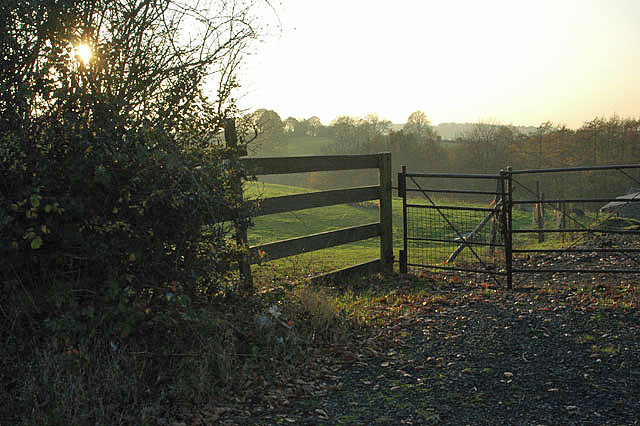
Doghanging Coppice is a picturesque woodland area located in the county of Worcestershire, England. Covering an area of approximately 10 hectares, this ancient forest is renowned for its natural beauty and diverse range of flora and fauna.
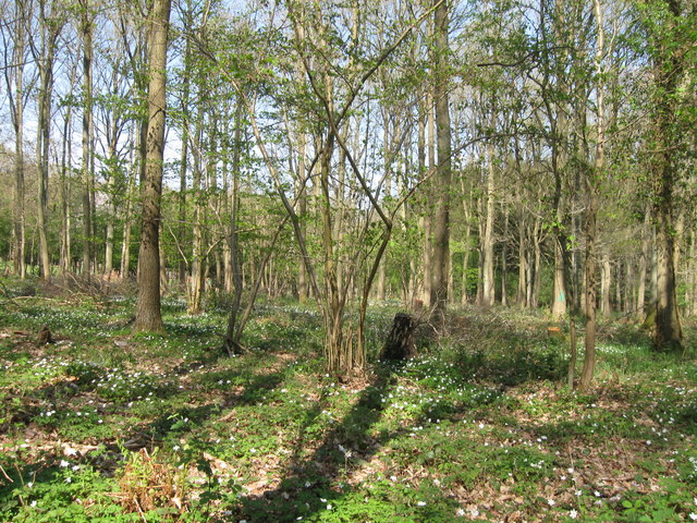
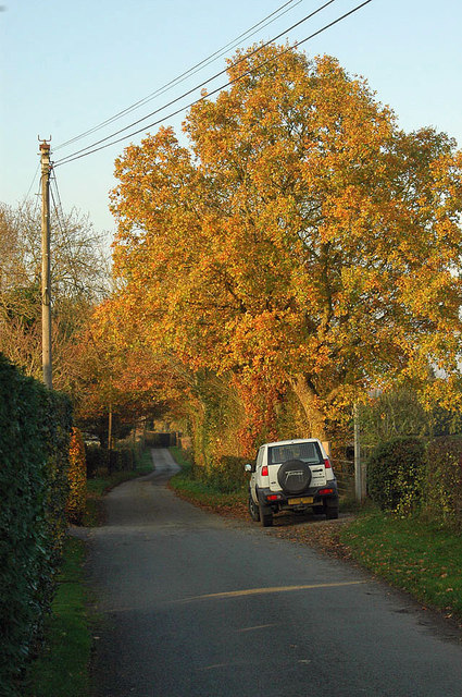
The coppice is predominantly made up of native deciduous trees such as oak, beech, and birch, which create a dense and vibrant canopy that provides shelter and nesting opportunities for a variety of bird species. The forest floor is adorned with a rich carpet of bluebells, wildflowers, and ferns, adding to its enchanting aura.
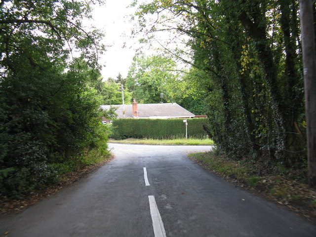
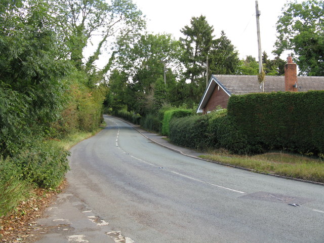
The woodland is intersected by a network of meandering footpaths, allowing visitors to explore its tranquil surroundings. These trails offer breathtaking views of the surrounding countryside and are popular among nature enthusiasts and hikers alike. Doghanging Coppice is also a haven for wildlife enthusiasts, as it is home to a wide range of animals including deer, foxes, badgers, and numerous species of birds.
The forest has a rich history, dating back centuries. The name "Doghanging" is believed to have derived from an old legend about a pack of wild dogs that were supposedly hanged in the area. This folklore adds an air of mystique to the coppice, making it an intriguing destination for those interested in local tales and legends.
Overall, Doghanging Coppice is a captivating woodland that offers visitors a chance to immerse themselves in nature and explore the beauty of Worcestershire's countryside. Whether it's a peaceful walk, birdwatching, or simply enjoying the tranquility of the forest, this ancient woodland provides a serene escape from the hustle and bustle of modern life.
If you have any feedback on the listing, please let us know in the comments section below.
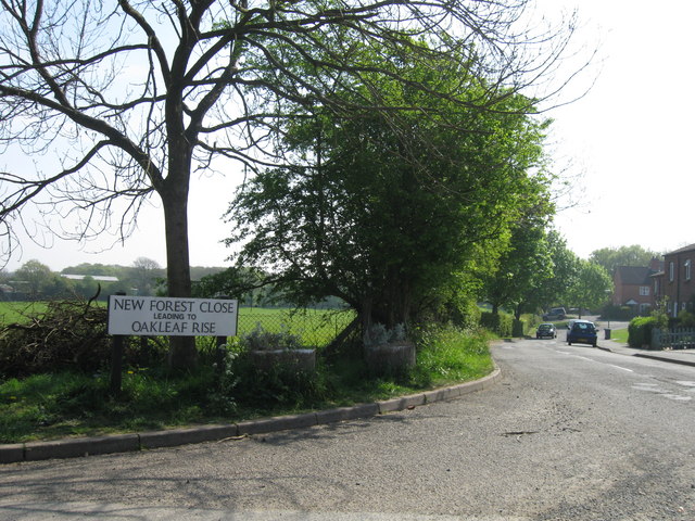
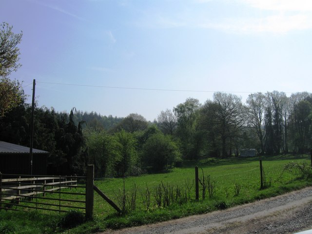
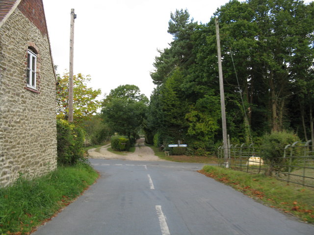
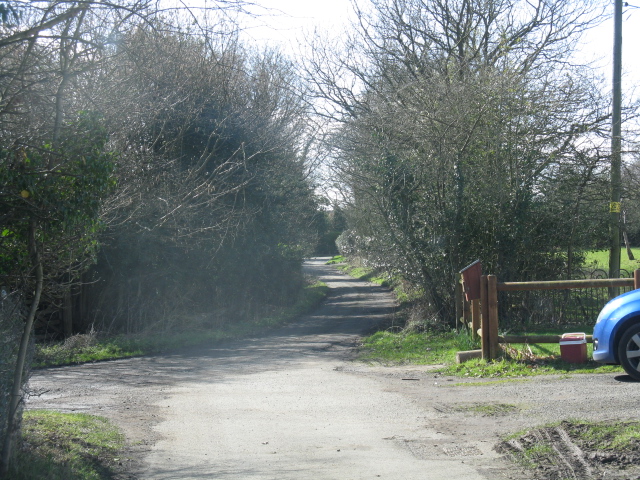
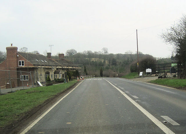
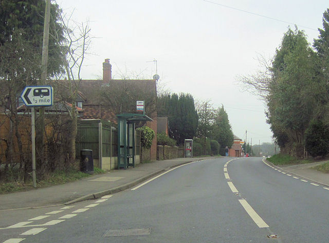
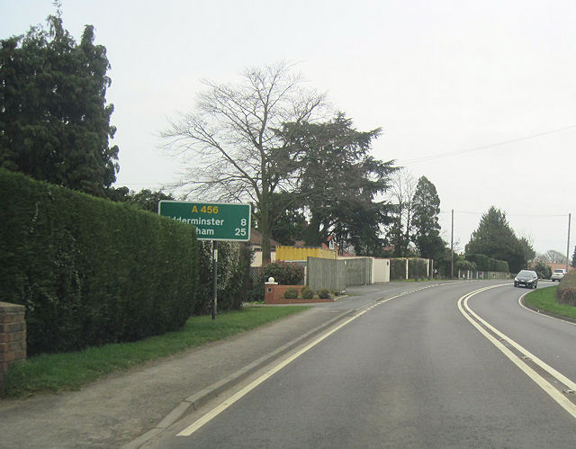
Doghanging Coppice Images
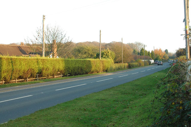
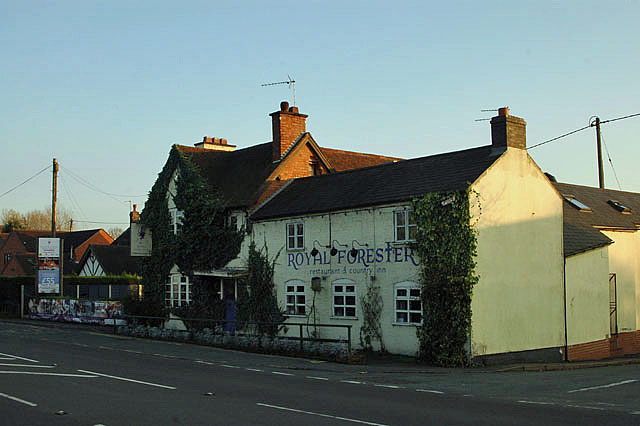
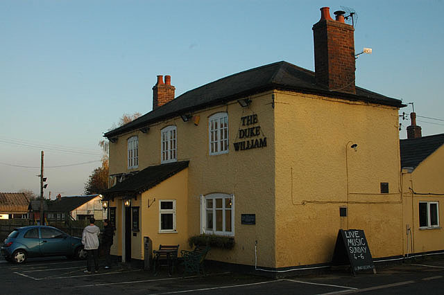
Images are sourced within 2km of 52.367684/-2.3885966 or Grid Reference SO7374. Thanks to Geograph Open Source API. All images are credited.


Doghanging Coppice is located at Grid Ref: SO7374 (Lat: 52.367684, Lng: -2.3885966)
Administrative County: Worcestershire
District: Wyre Forest
Police Authority: West Mercia
What 3 Words
///treaty.twig.marble. Near Bewdley, Worcestershire
Nearby Locations
Related Wikis

Fingerpost, Worcestershire
Fingerpost is a hamlet and road junction in north Worcestershire, England, approximately 3 miles (4.8 km) west of Bewdley. It is located at the junction...

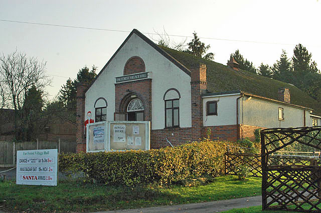
Far Forest
Far Forest is a small village in north Worcestershire, England, approximately 3.5 miles (5.6 km) west of Bewdley, and next to the border with Shropshire...
Wyre Forest railway station
Wyre Forest railway station was a station to the north of Far Forest, Worcestershire, England. The station which served the Wyre Forest was opened in 1869...

Bliss Gate
Bliss Gate is a small village in Worcestershire, England. It had many attractive tourist landmarks such as the Bliss Gate Inn (now closed) and a village...
Related Videos

Exploring around in Wyre Forest
In today's vlog we went up to Wyre Forest in the Land Rover and had ourselves a nice lunch before heading out on a hike around ...
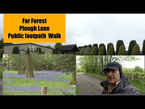
Far Forest Plough lane Public footpath walk
another great walk folks.

Vango Air Canopy
Time to see if the Vango Air Canopy can be put up in 5 minutes ! Location is ,Yew Tree Farm Touring site, Bewdley, and the suns ...
Nearby Amenities
Located within 500m of 52.367684,-2.3885966Have you been to Doghanging Coppice?
Leave your review of Doghanging Coppice below (or comments, questions and feedback).