Horseland Wood

Wood, Forest in Sussex Rother

England

Horseland Wood

Level Crossing at Mountfield East Sussex Small level crossing on narrow road from Netherfield to Mountfield East Sussex on the Hastings to Charing Cross line.
Level Crossing at Mountfield East Sussex Credit: Janet Richardson

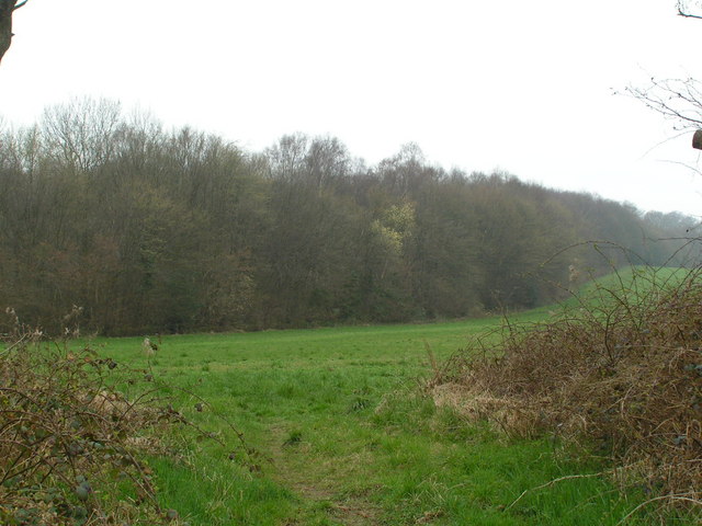
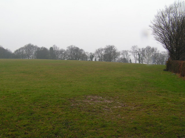
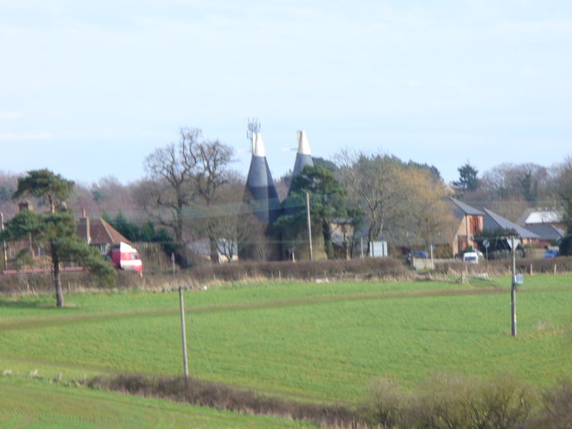
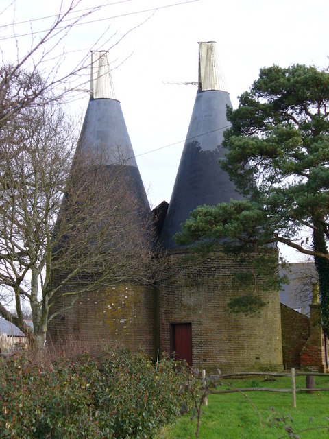
Horseland Wood, located in Sussex, England, is a picturesque woodland area that encompasses approximately 150 acres. This woodland is part of the larger Horseland Forest, which is renowned for its natural beauty and diverse flora and fauna.

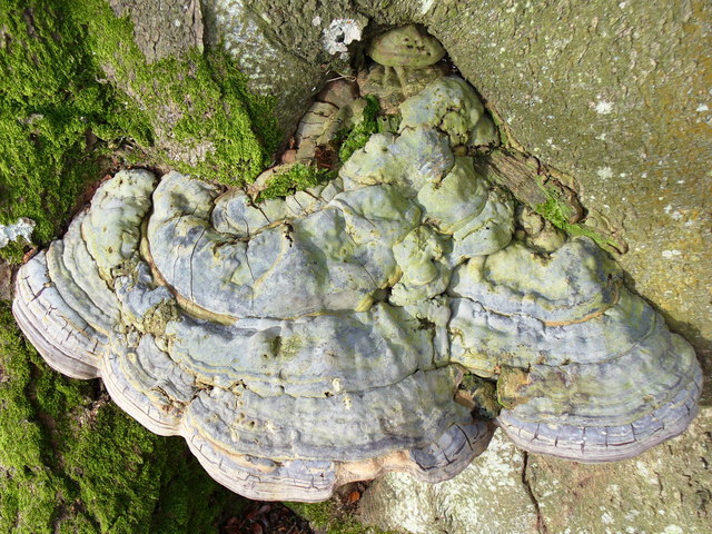
The wood is predominantly made up of broadleaf trees, such as oak, beech, and chestnut, which create a dense and lush canopy. This canopy provides shelter to a variety of woodland creatures, including deer, foxes, and a multitude of bird species. Walking through Horseland Wood, visitors can enjoy the tranquil atmosphere and the soothing sounds of nature.

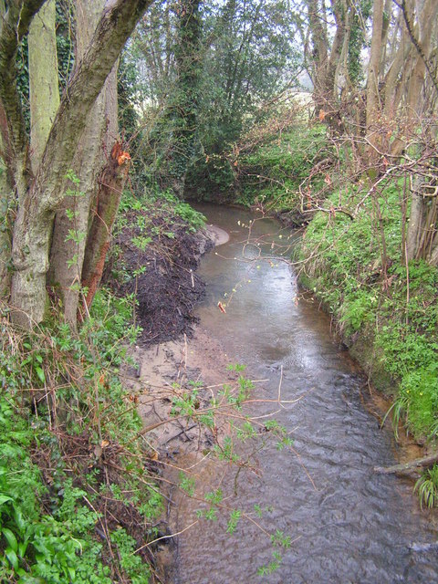
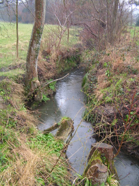
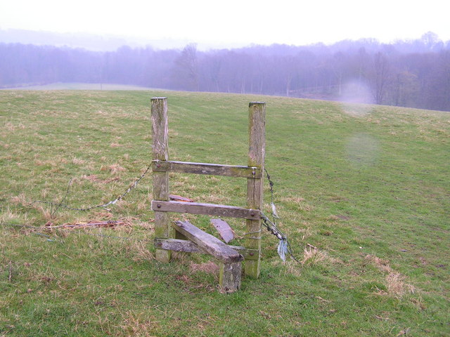
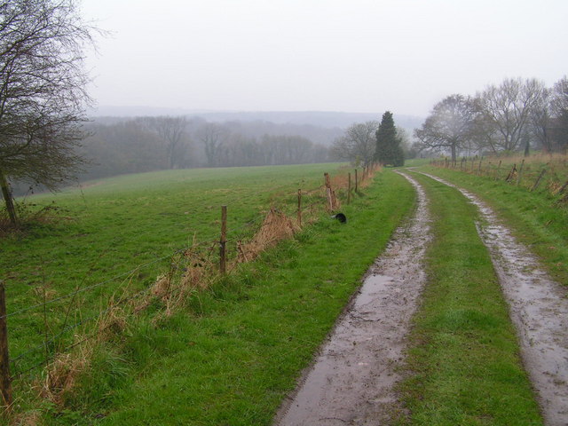
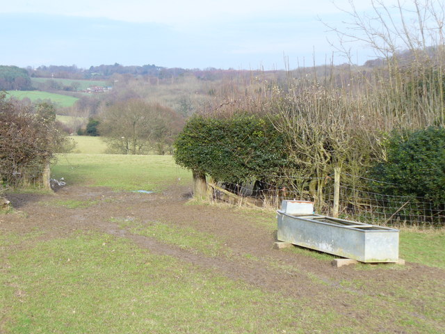
The wood is crisscrossed with several well-maintained walking trails, which allow visitors to explore the area at their own pace. These trails lead through different sections of the woodland, providing varying landscapes and views. Along the paths, visitors can discover hidden clearings, babbling brooks, and even a small lake.

Horseland Wood is a popular destination for nature enthusiasts, hikers, and families looking to connect with the outdoors. The wood offers a range of outdoor activities, including birdwatching, wildlife spotting, and picnicking. It is also a great place for photography, with its stunning vistas and abundance of natural beauty.

Managed by the local forestry commission, Horseland Wood is well-preserved and maintained, ensuring the conservation of its natural habitat. The wood is easily accessible, with ample parking facilities and clear signposting. Whether seeking solitude in nature or embarking on an adventure with loved ones, Horseland Wood is a prime destination for experiencing the charm and tranquility of a Sussex woodland.

If you have any feedback on the listing, please let us know in the comments section below.

Horseland Wood Images

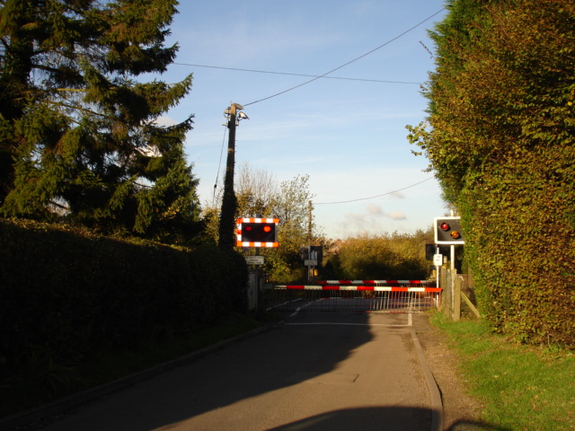
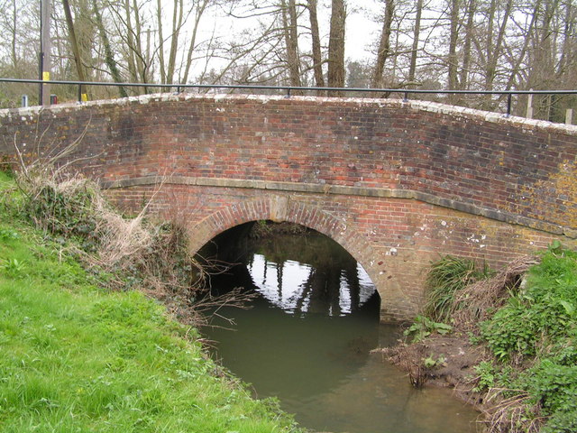
Images are sourced within 2km of 50.94004/0.49090202 or Grid Reference TQ7518. Thanks to Geograph Open Source API. All images are credited.

Level Crossing at Mountfield East Sussex Small level crossing on narrow road from Netherfield to Mountfield East Sussex on the Hastings to Charing Cross line.
Level Crossing at Mountfield East Sussex
Small level crossing on narrow road from Netherfield to Mountfield East Sussex on the Hastings to Charing Cross line.
Narrow Road Eatenden Lane a very narrow road between Netherfield and Mountfield East Sussex with Crowhurst Wood on the left and Upper Hucksteep Wood on the right.
Narrow Road
Eatenden Lane a very narrow road between Netherfield and Mountfield East Sussex with Crowhurst Wood on the left and Upper Hucksteep Wood on the right.
The Northern edge of Petley Woods Very typical High Wealden landscape
The Northern edge of Petley Woods
Very typical High Wealden landscape
Bridge over the River Line, Whatlington A sussex byway crosses this small river in the Hamlet / Small village of Whatlington
Bridge over the River Line, Whatlington
A sussex byway crosses this small river in the Hamlet / Small village of Whatlington
The Royal Oak, Whatlington This public house was built in 1490. The apple tree in the garden is wassailed every year. The A21 runs by its side.
The Royal Oak, Whatlington
This public house was built in 1490. The apple tree in the garden is wassailed every year. The A21 runs by its side.
The Royal Oak, Whatlington In the bar is a very deep well & a very large inglenook
The Royal Oak, Whatlington
In the bar is a very deep well & a very large inglenook
The River Line A few miles downstream from here this river joins the R. Brede
The River Line
A few miles downstream from here this river joins the R. Brede
Tonbridge to Hastings railway line This is the main London to Hastings line via Tonbridge
Tonbridge to Hastings railway line
This is the main London to Hastings line via Tonbridge
A small wealden stream A small tributary of the R. Line
A small wealden stream
A small tributary of the R. Line
A field near Lower Gate Farm Typical wealden scene
A field near Lower Gate Farm
Typical wealden scene
A defunct stile The footpath running through this area is difficult to follow and this stile sums it up!
A defunct stile
The footpath running through this area is difficult to follow and this stile sums it up!
Farm track through the weald A typical piece of High weald scenery.
Farm track through the weald
A typical piece of High weald scenery.
Entering Battle
Entering Battle
Wealden Landscape, Vinehall Street Grassy fields, woods and oast houses are typical of this area of the Weald. Across the view runs the A21 London - Hastings road.
Wealden Landscape, Vinehall Street
Grassy fields, woods and oast houses are typical of this area of the Weald. Across the view runs the A21 London - Hastings road.
Oasts, Vinehall Street Industrial relics from the East Sussex hop industry which have not yet been converted into a desirable country residence.
Oasts, Vinehall Street
Industrial relics from the East Sussex hop industry which have not yet been converted into a desirable country residence.
Fungus on a Beech Tree This one is about one foot wide, two or three inches thick, and solidly fixed to the tree trunk.
Fungus on a Beech Tree
This one is about one foot wide, two or three inches thick, and solidly fixed to the tree trunk.
Oast By Hancox This old oast is now converted into a desirable rural dwelling. It still sits in a farming location, behind the straw bales.
Oast By Hancox
This old oast is now converted into a desirable rural dwelling. It still sits in a farming location, behind the straw bales.
Footpath by Woodmans Green The muddy path over the clay Weald here passes through a gap in a hedge and a water trough. The East Sussex landscape here is rolling countryside with a mix of woods and grassy fields.
Footpath by Woodmans Green
The muddy path over the clay Weald here passes through a gap in a hedge and a water trough. The East Sussex landscape here is rolling countryside with a mix of woods and grassy fields.
Show me another place!

Horseland Wood is located at Grid Ref: TQ7518 (Lat: 50.94004, Lng: 0.49090202)

Administrative County: East Sussex

District: Rother

Police Authority: Sussex

What 3 Words

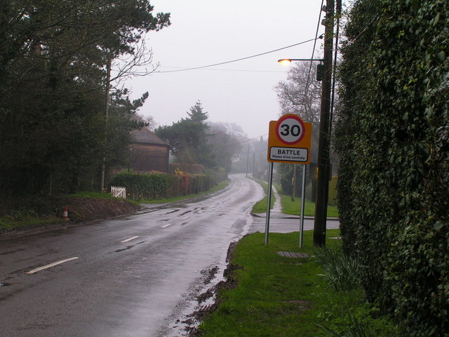
///recently.ropes.cherubs. Near Battle, East Sussex

Related Wikis

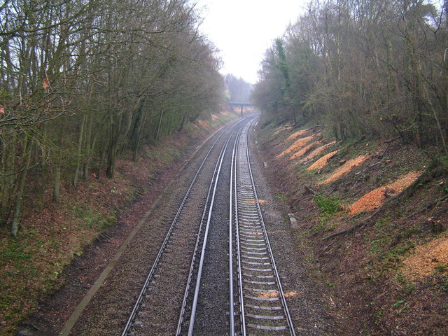
Mountfield Halt railway station

Mountfield Halt (TQ 746 197 50°57′01″N 0°29′12″E) was situated on the Hastings Line between Robertsbridge and Battle. It opened in 1923 and was closed...

Whatlington

Whatlington is a village and civil parish in the Rother district of East Sussex, England. The village is seven miles (11 km) north of Hastings, just off...

Vinehall Street

Vinehall Street (or Vinehall), is a linear settlement in the civil parishes of Mountfield and Whatlington, and the Rother district of East Sussex, England...

Vinehall School

Vinehall School is a co-educational day, boarding school and nursery located at Vinehall Street, near the town of Robertsbridge, East Sussex. It takes...
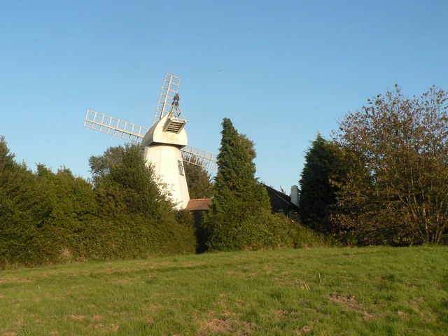
King's Head Mill

King's Mead Mill (also Battle Windmill or Caldbec Hill Mill) is a grade II listed smock mill at Battle, Sussex, England, which has been converted to residential...

Durhamford Manor

Durhamford Manor is a Grade II* listed country house in the parish of Sedlescombe, East Sussex, England. The timber-framed, close-studded house dates to...

Mountfield, East Sussex

Mountfield is a village and civil parish in the Rother district of East Sussex, England, and three miles (5 km) north-west of Battle. It is mentioned in...
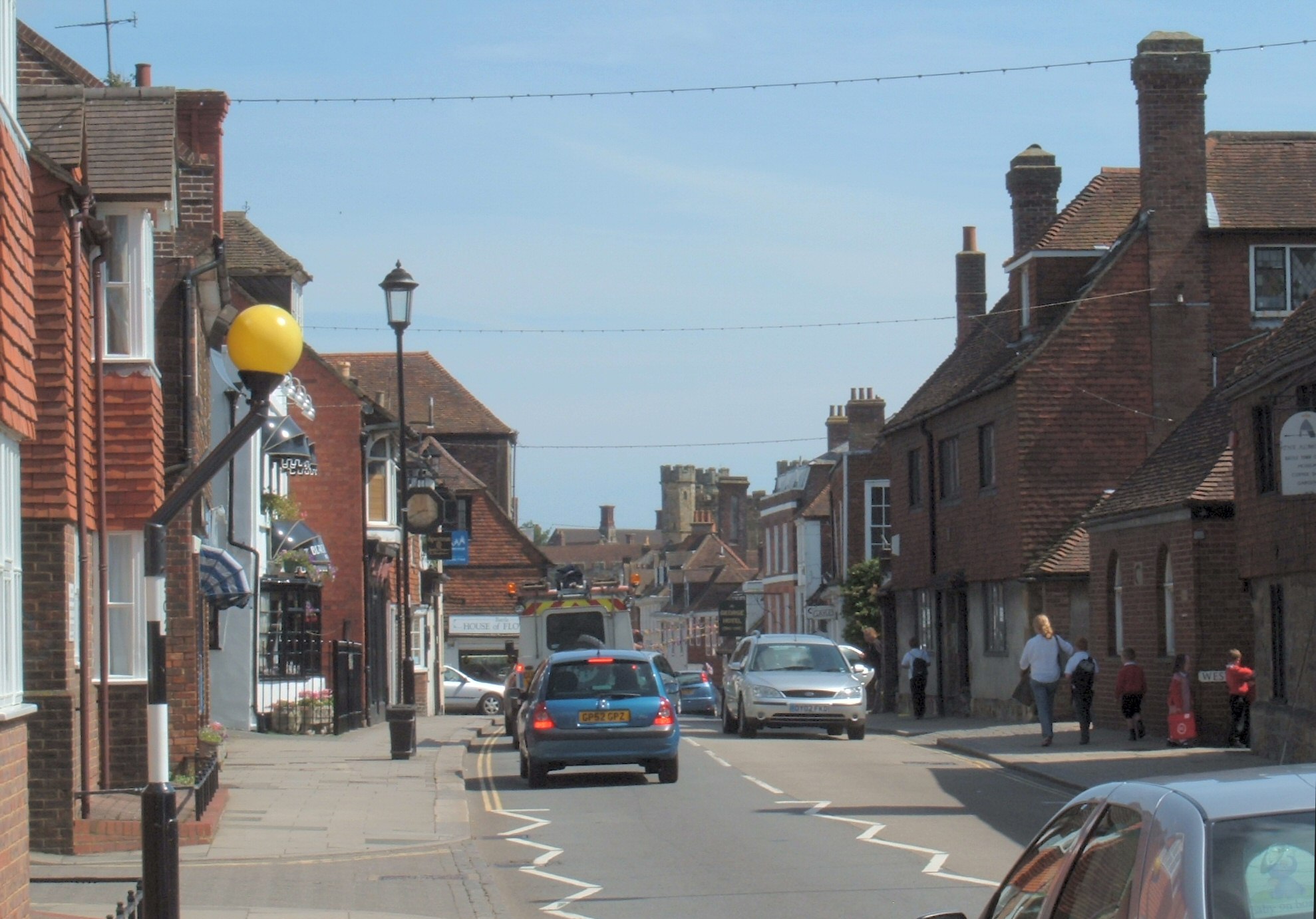
Battle, East Sussex

Battle is a town and civil parish in the district of Rother in East Sussex, England. It lies 50 miles (80 km) south-east of London, 27 miles (43 km) east...

Nearby Amenities

Located within 500m of 50.94004,0.49090202
Barrier: stile
Lat/Long: 50.9396662/0.487741
Barrier: stile
Lat/Long: 50.9414027/0.4937278
Power: pole
Lat/Long: 50.9412439/0.4843693
Power: pole
Lat/Long: 50.940144/0.4845244
Power: pole
Lat/Long: 50.9393621/0.4839346
Man Made: utility_pole
Lat/Long: 50.9412412/0.4885595
Cinderbank Wood
Natural: wood
Lat/Long: 50.9371876/0.4883988
Eastland Wood
Natural: wood
Lat/Long: 50.9367118/0.487646
Power: pole
Lat/Long: 50.9394184/0.4895811
Power: pole
Lat/Long: 50.9385933/0.4900506
Power: pole
Lat/Long: 50.938088/0.4908423
Power: pole
Lat/Long: 50.9377675/0.4920292
Power: pole
Lat/Long: 50.9371071/0.4942191
Power: pole
Lat/Long: 50.9373758/0.4933031
Power: pole
Lat/Long: 50.9368177/0.4952189
Power: pole
Lat/Long: 50.9418098/0.488261
The data included in this document is from www.openstreetmap.org. The data is made available under ODbL.

Have you been to Horseland Wood?

Leave your review of Horseland Wood below (or comments, questions and feedback).