Knight's Shaw
Wood, Forest in Sussex Rother
England
Knight's Shaw
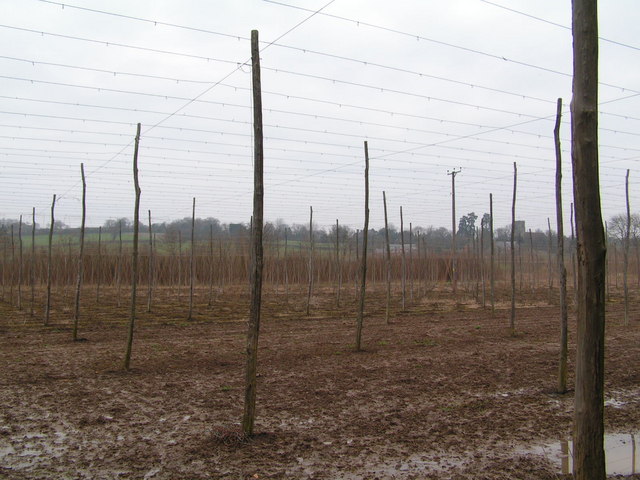
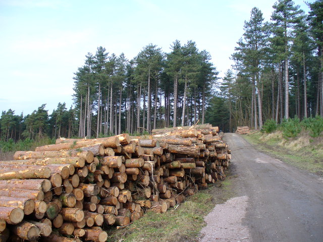
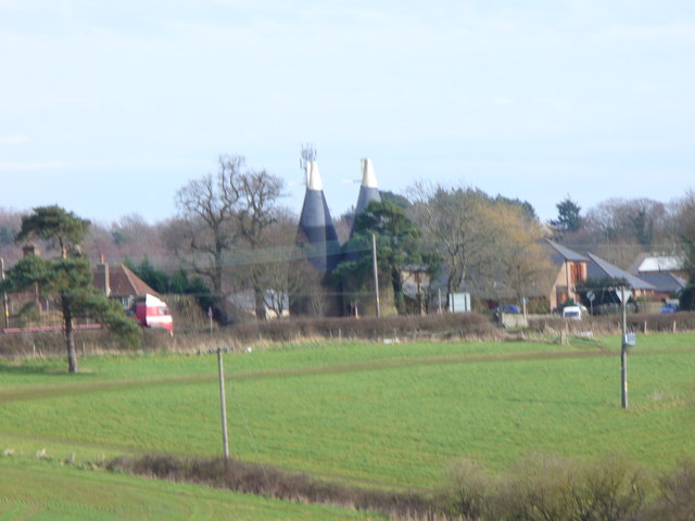
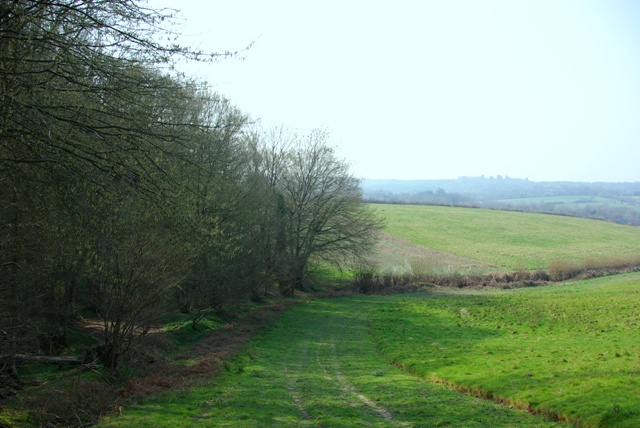
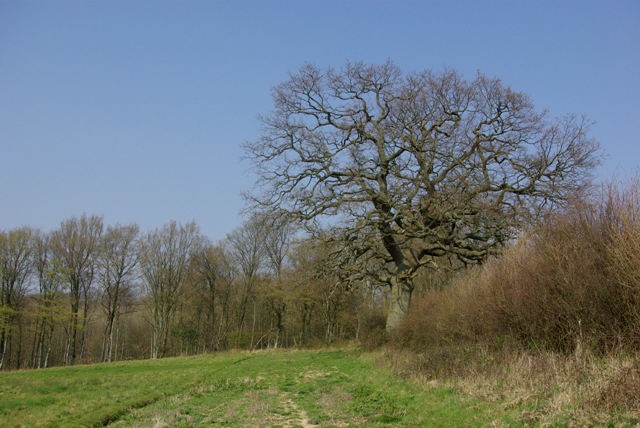
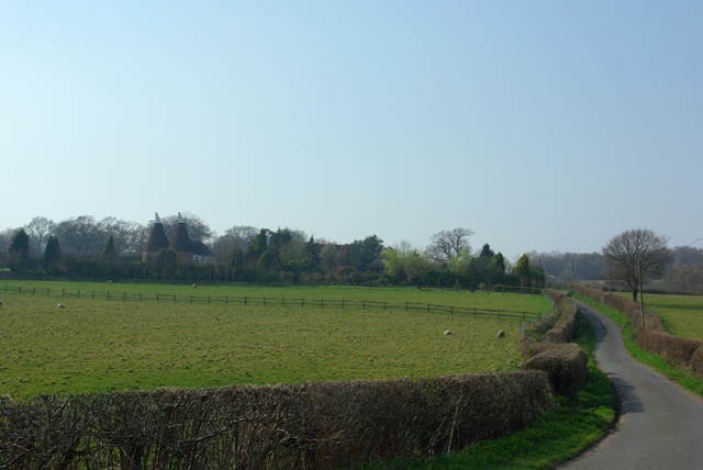
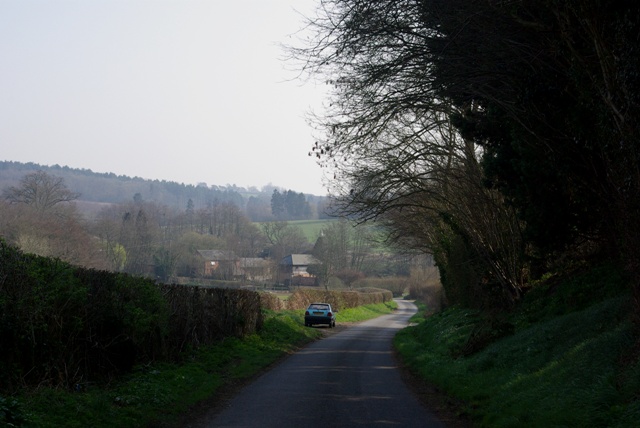
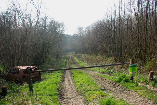
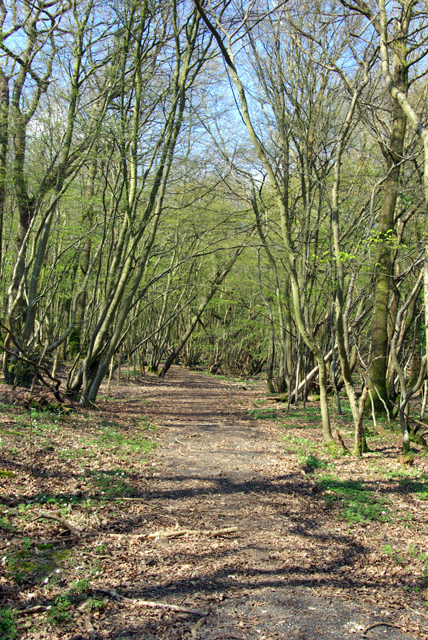
Knight's Shaw, Sussex is a picturesque woodland area located in the south-east of England. Situated within the county of Sussex, it is known for its dense forest and natural beauty. The woodland covers an expansive area, providing a tranquil and serene escape from the hustle and bustle of nearby towns and cities.
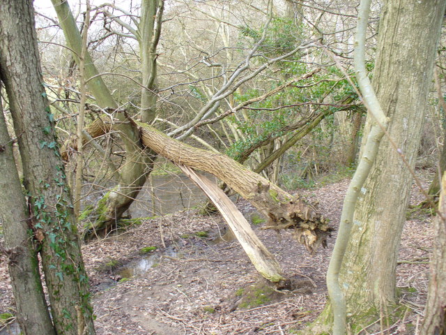
Knight's Shaw is renowned for its diverse range of flora and fauna, making it a popular destination for nature enthusiasts. The forest is home to a variety of tree species, including oak, beech, and birch, creating a rich and vibrant ecosystem. The forest floor is adorned with an array of wildflowers, adding bursts of color to the verdant landscape.
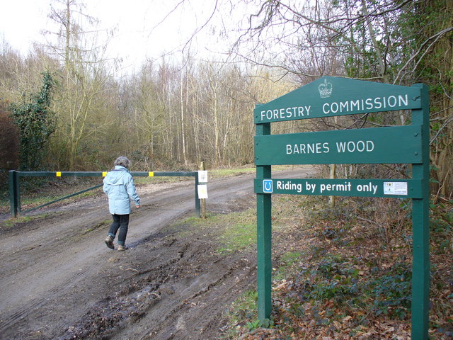
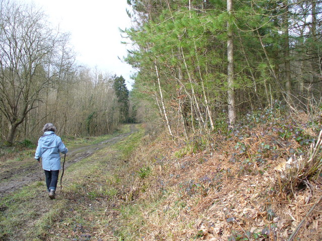
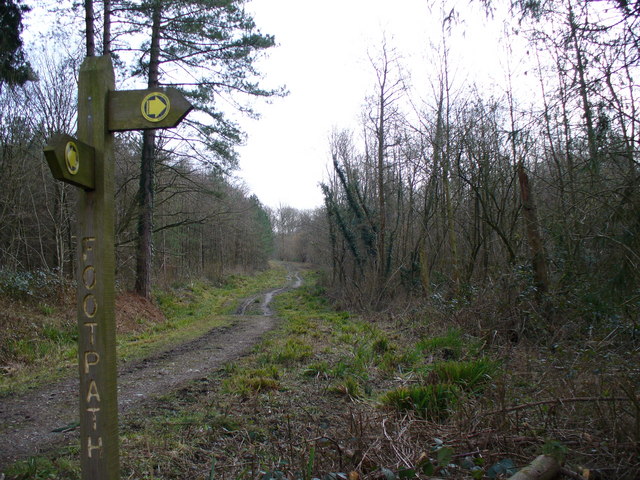
The woodland is intersected by a network of paths and trails, allowing visitors to explore its enchanting beauty on foot or by bicycle. These trails lead to hidden gems such as secluded clearings and babbling brooks, providing a peaceful retreat for those seeking solace in nature.
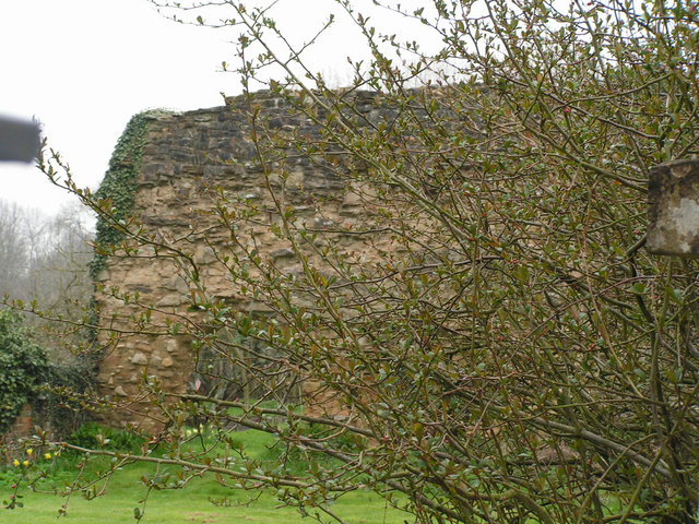
In addition to its natural splendor, Knight's Shaw also holds historical significance. It is believed to have been used as a hunting ground by medieval knights, hence its name. The remnants of ancient stone structures and the occasional sighting of archaeological artifacts serve as reminders of its rich history.
Overall, Knight's Shaw, Sussex is a haven for nature lovers, history enthusiasts, and anyone seeking a tranquil escape in the heart of the English countryside. Its breathtaking woodland, diverse wildlife, and historical charm make it a truly remarkable destination.
If you have any feedback on the listing, please let us know in the comments section below.
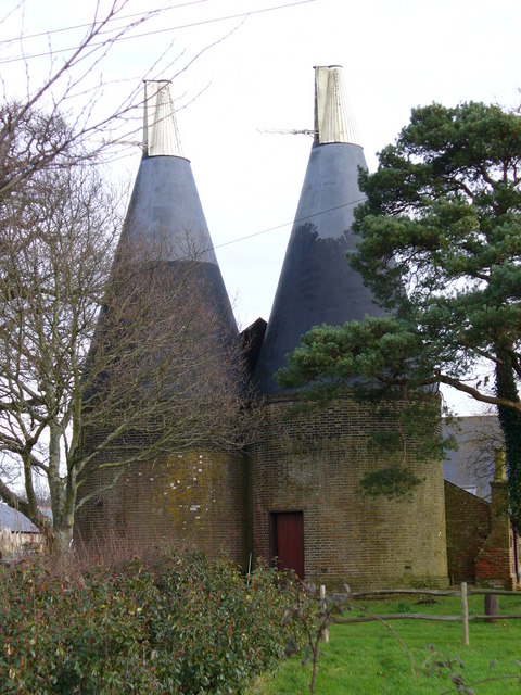
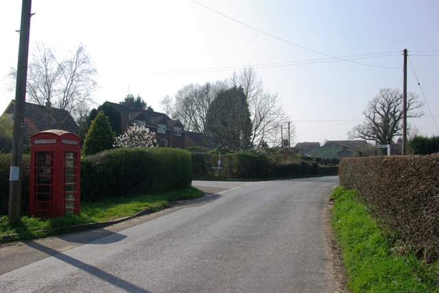
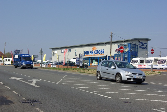
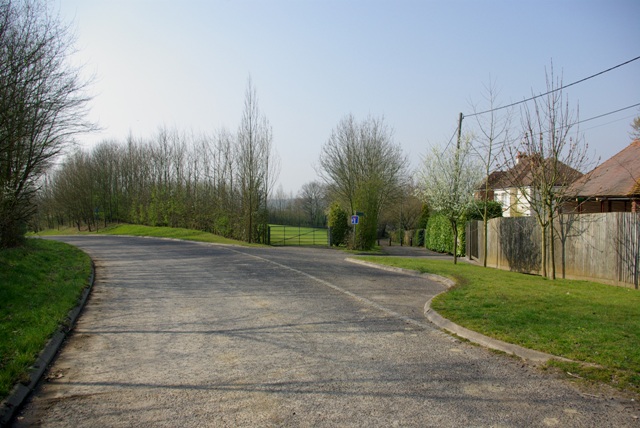
Knight's Shaw Images
Images are sourced within 2km of 50.970863/0.49259387 or Grid Reference TQ7522. Thanks to Geograph Open Source API. All images are credited.
Knight's Shaw is located at Grid Ref: TQ7522 (Lat: 50.970863, Lng: 0.49259387)
Administrative County: East Sussex
District: Rother
Police Authority: Sussex
What 3 Words
///exploring.skis.between. Near Robertsbridge, East Sussex
Nearby Locations
Related Wikis

Vinehall School
Vinehall School is a co-educational day, boarding school and nursery located at Vinehall Street, near the town of Robertsbridge, East Sussex. It takes...

Mountfield, East Sussex
Mountfield is a village and civil parish in the Rother district of East Sussex, England, and three miles (5 km) north-west of Battle. It is mentioned in...

Vinehall Street
Vinehall Street (or Vinehall), is a linear settlement in the civil parishes of Mountfield and Whatlington, and the Rother district of East Sussex, England...

Salehurst Halt railway station
Salehurst Halt was a halt station on the Kent and East Sussex Railway which served the village of Salehurst in East Sussex, England. The station was reached...
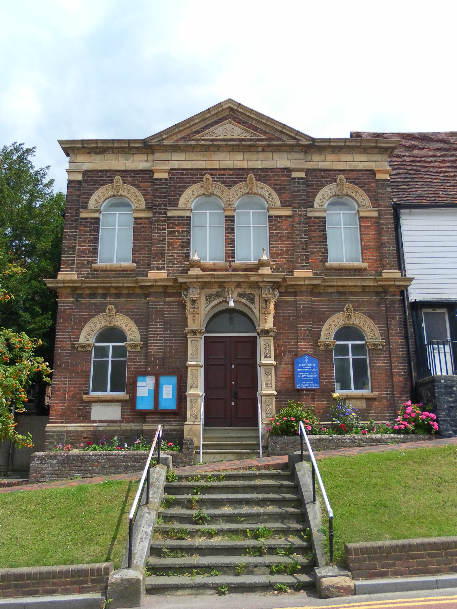
Robertsbridge United Reformed Church
Robertsbridge United Reformed Church (originally Robertsbridge Congregational Chapel) is a former United Reformed Church place of worship in Robertsbridge...

The Seven Stars Inn
The Seven Stars Inn is a 14th-century public house in Robertsbridge, East Sussex, a well-preserved example of a medieval building and a typical Sussex...
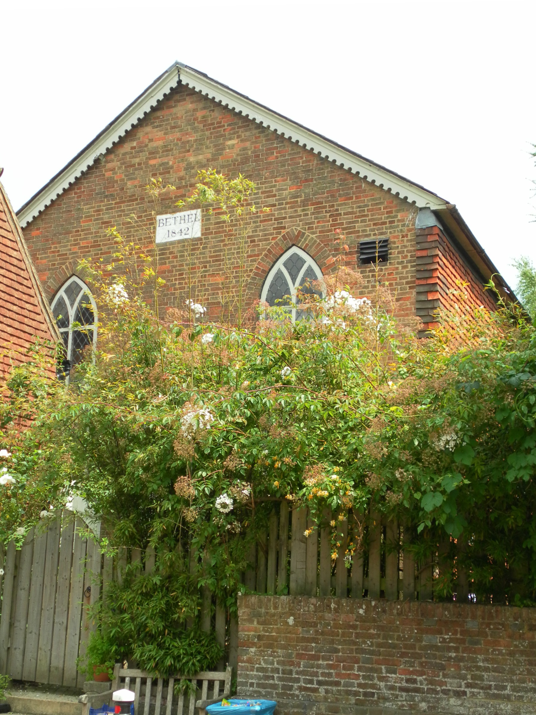
Bethel Strict Baptist Chapel, Robertsbridge
Bethel Strict Baptist Chapel (also described as Bethel Calvinist Chapel) is a former place of worship for Strict Baptists in Robertsbridge, a village in...

Robertsbridge Abbey
Robertsbridge Abbey was a Cistercian abbey in Robertsbridge, East Sussex, England. It was founded in 1176 by Alured and Alicia de St Martin. Due to its...
Have you been to Knight's Shaw?
Leave your review of Knight's Shaw below (or comments, questions and feedback).