Alder Shaw
Wood, Forest in Sussex Rother
England
Alder Shaw
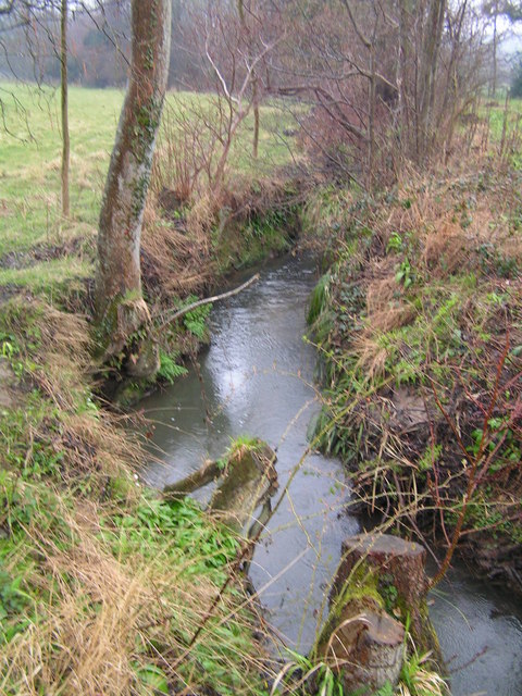
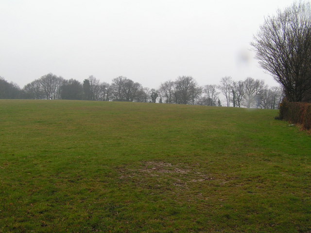
Alder Shaw is a picturesque woodland area located in the county of Sussex, England. Nestled amidst the rolling hills and verdant countryside, this enchanting forest is known for its dense population of alder trees, which lend the area its name. Covering an expansive area of woodland, Alder Shaw is a haven for nature enthusiasts and those seeking solace in the great outdoors.
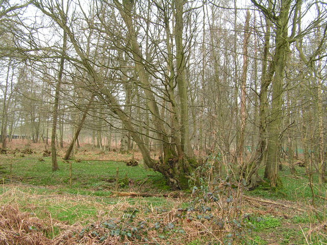
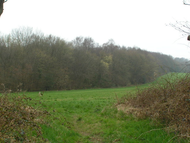
The forest boasts a diverse ecosystem, supporting a wide variety of plant and animal species. In addition to the majestic alder trees, visitors can expect to find a rich assortment of flora, including oak, birch, and beech trees, which create a stunning tapestry of colors throughout the seasons. The forest floor is carpeted with a lush carpet of ferns, mosses, and wildflowers, further enhancing the area's natural beauty.
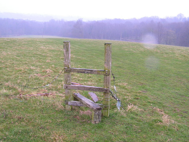
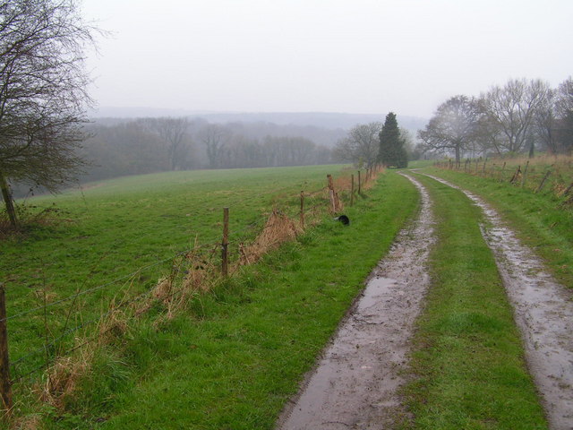
Alder Shaw is a popular destination for hikers and walkers, with numerous trails weaving through the forest, offering breathtaking views and opportunities for exploration. The tranquility of the surroundings makes it an ideal place for birdwatching and wildlife spotting, as the forest is home to an array of creatures, including deer, foxes, badgers, and a plethora of bird species.
The forest is thought to have a rich history, with evidence of human habitation dating back centuries. Archaeological discoveries hint at ancient settlements and activities within the area, adding to the allure of Alder Shaw.
With its idyllic setting and abundant natural beauty, Alder Shaw is a true gem in the heart of Sussex, providing an escape from the hustle and bustle of modern life and offering a chance to reconnect with nature in all its glory.
If you have any feedback on the listing, please let us know in the comments section below.
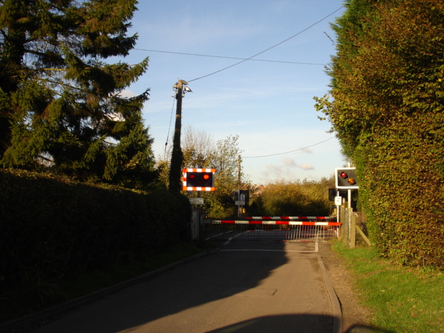
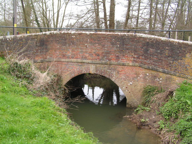
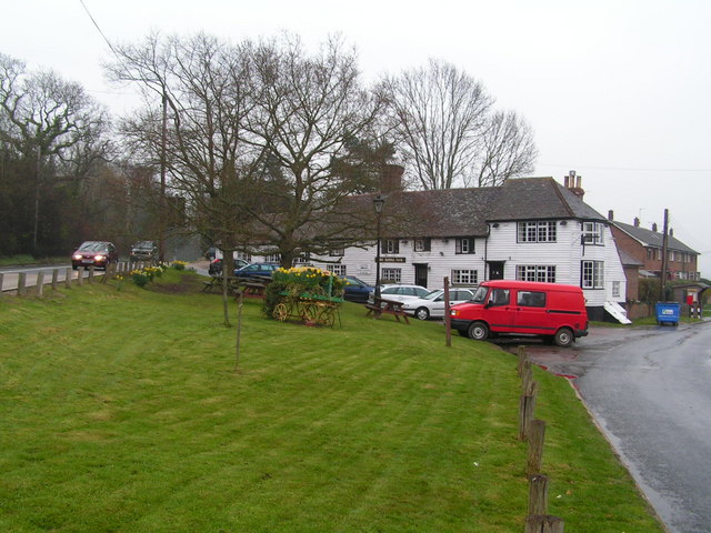
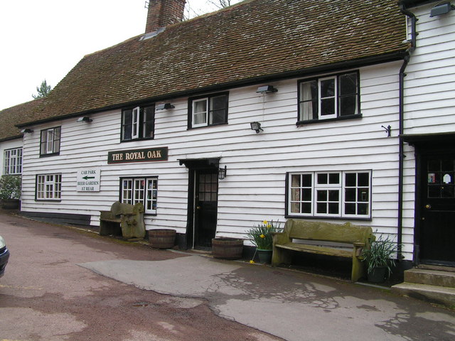
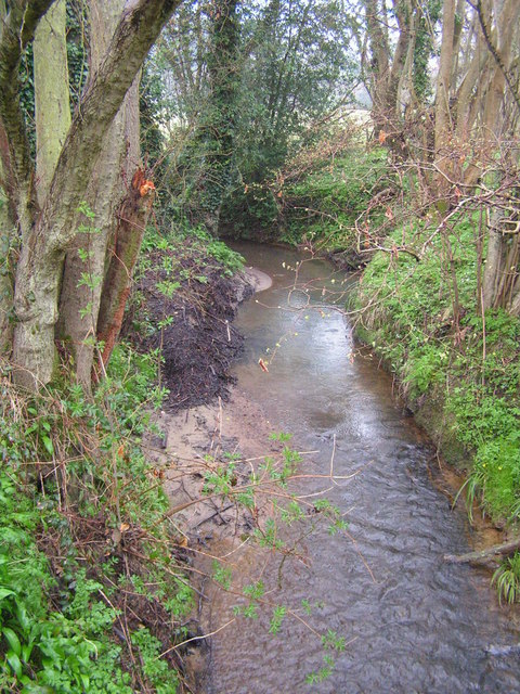
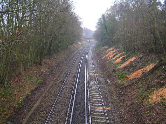
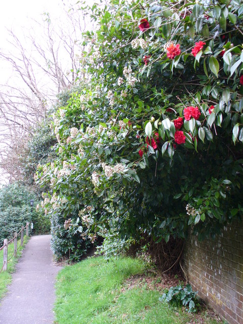
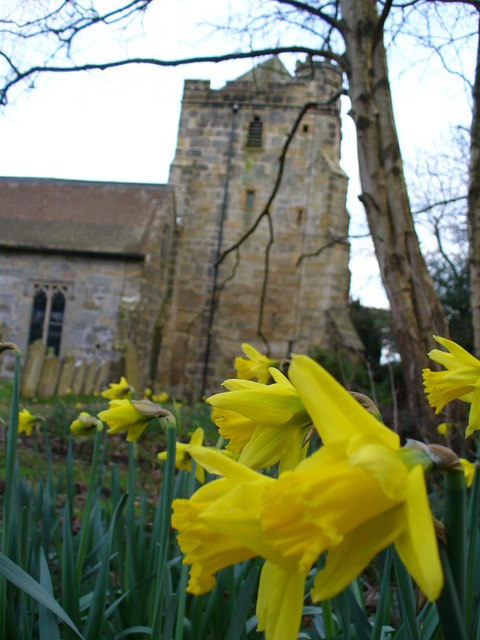
Alder Shaw Images
Images are sourced within 2km of 50.938825/0.49977654 or Grid Reference TQ7518. Thanks to Geograph Open Source API. All images are credited.
Alder Shaw is located at Grid Ref: TQ7518 (Lat: 50.938825, Lng: 0.49977654)
Administrative County: East Sussex
District: Rother
Police Authority: Sussex
What 3 Words
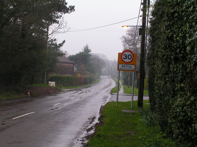
///tabloid.unwraps.orbit. Near Battle, East Sussex
Nearby Locations
Related Wikis

Whatlington
Whatlington is a village and civil parish in the Rother district of East Sussex, England. The village is seven miles (11 km) north of Hastings, just off...

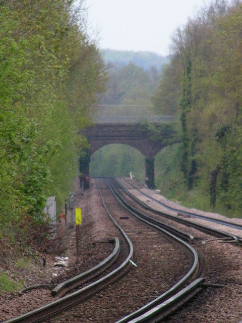
Mountfield Halt railway station
Mountfield Halt (TQ 746 197 50°57′01″N 0°29′12″E) was situated on the Hastings Line between Robertsbridge and Battle. It opened in 1923 and was closed...

Durhamford Manor
Durhamford Manor is a Grade II* listed country house in the parish of Sedlescombe, East Sussex, England. The timber-framed, close-studded house dates to...

Vinehall Street
Vinehall Street (or Vinehall), is a linear settlement in the civil parishes of Mountfield and Whatlington, and the Rother district of East Sussex, England...
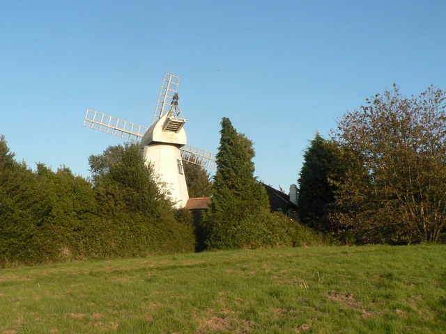
King's Head Mill
King's Mead Mill (also Battle Windmill or Caldbec Hill Mill) is a grade II listed smock mill at Battle, Sussex, England, which has been converted to residential...
Vinehall School
Vinehall School is a co-educational day, boarding school and nursery located at Vinehall Street, near the town of Robertsbridge, East Sussex. It takes...

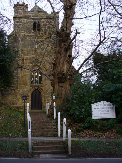
Sedlescombe
Sedlescombe is a village and civil parish in the Rother district of East Sussex, England. The village is on the B2244 road, about 6 miles (10 km) north...
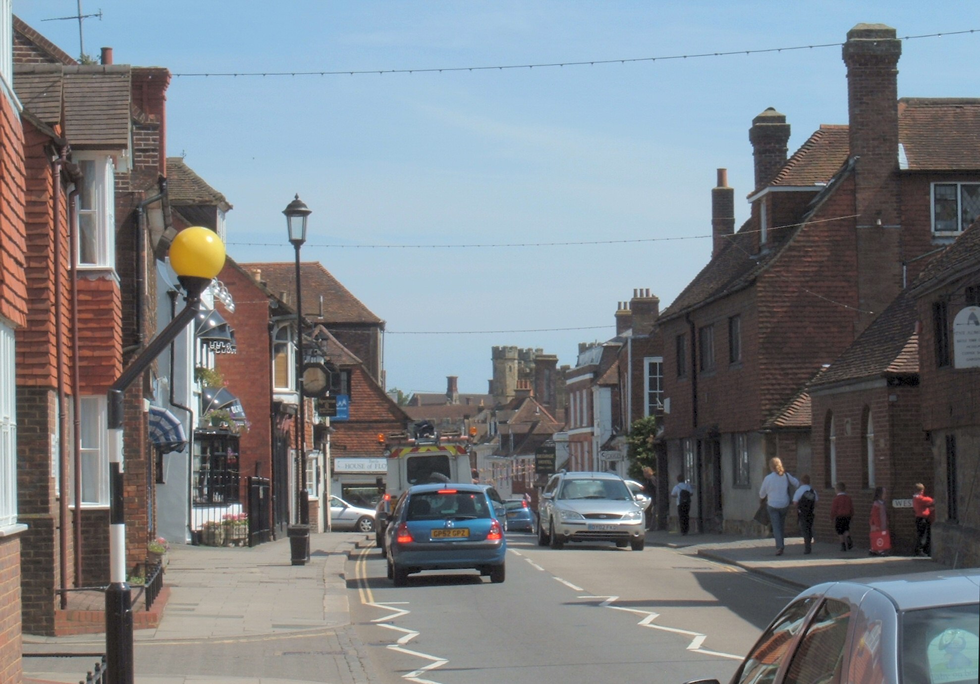
Battle, East Sussex
Battle is a town and civil parish in the district of Rother in East Sussex, England. It lies 50 miles (80 km) south-east of London, 27 miles (43 km) east...
Related Videos
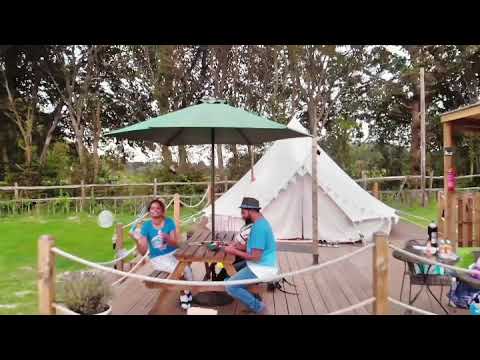
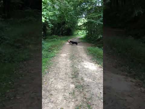
Dog walking at Battle
Dog walking Battle Wood Www.Hastingspetcare.Co.Uk #Dogwalkers #hastings #stleonards #fairlight #dogwalker #doggydaycare ...
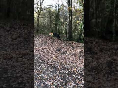
Dog walking Battle Wood
Dog walkers Hastings and St Leonard's Www.Hastingspetcare.Co.Uk #dogwalkers #hastings #stleonards #fairlight #dogwalker ...

Hastings and St Leonards dog walkers at Battle wood
Hastings Pet Card Walking the dogs at Battle Wood #Dogwalkers #hastings #stleonards #fairlight #dogwalker #doggydaycare ...
Nearby Amenities
Located within 500m of 50.938825,0.49977654Have you been to Alder Shaw?
Leave your review of Alder Shaw below (or comments, questions and feedback).