Abergwngu
Settlement in Cardiganshire
Wales
Abergwngu
Abergwngu, also known as Llanfihangel-y-Creuddyn, is a small village located in the county of Cardiganshire, Wales. Situated on the western coast of the country, it lies approximately 10 miles southeast of the town of Aberystwyth. The village is nestled in a picturesque valley surrounded by rolling hills, offering stunning views of the Welsh countryside.
Abergwngu is known for its rich history, with evidence of human settlement dating back to the Bronze Age. The village is home to several historic buildings, including the 12th-century St. Michael's Church, which is a prominent landmark and a testament to the area's long-standing religious heritage.
The community of Abergwngu is tight-knit and maintains a strong sense of Welsh identity. The Welsh language is widely spoken by the locals, and the village hosts various cultural events throughout the year, celebrating traditions such as folk music and Welsh poetry.
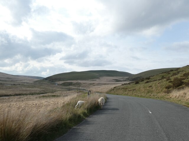
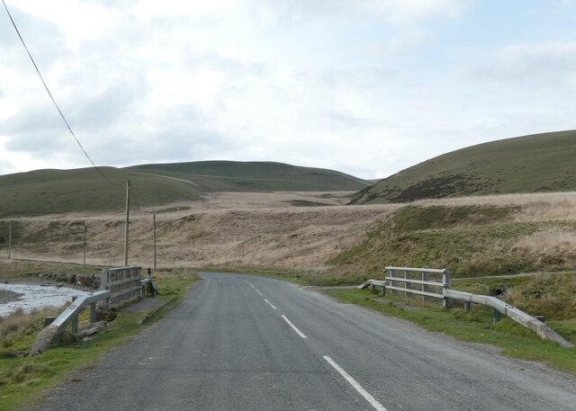
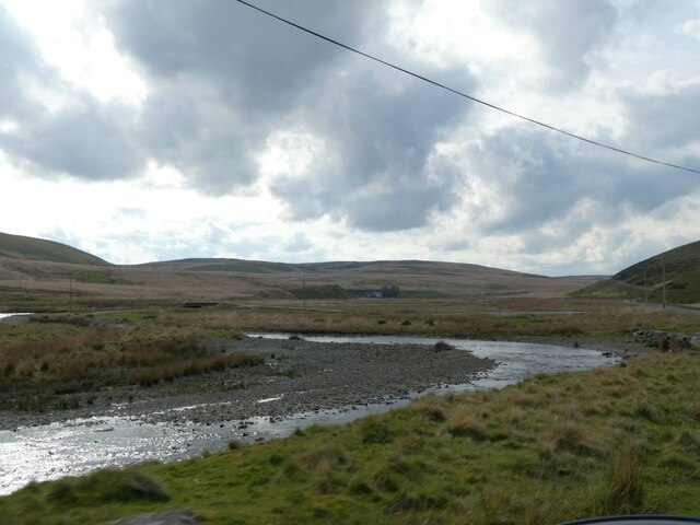
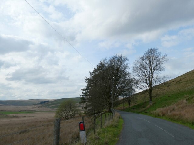
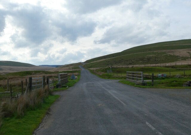
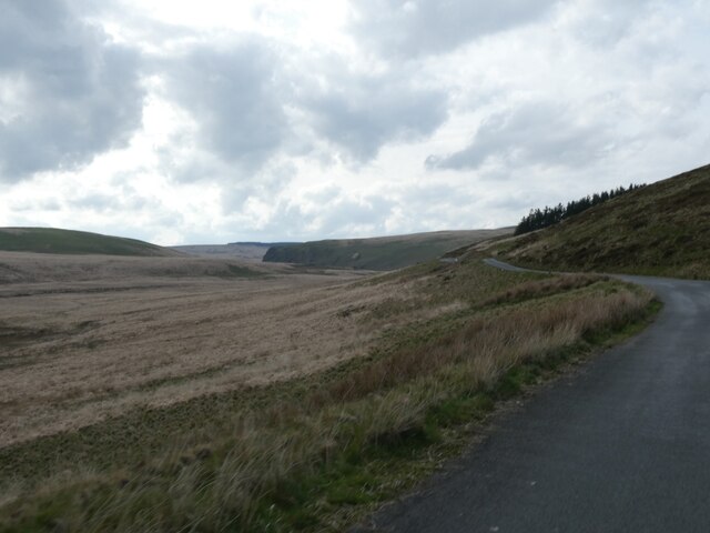
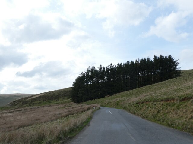
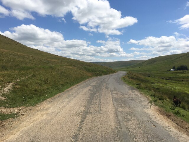
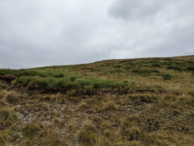
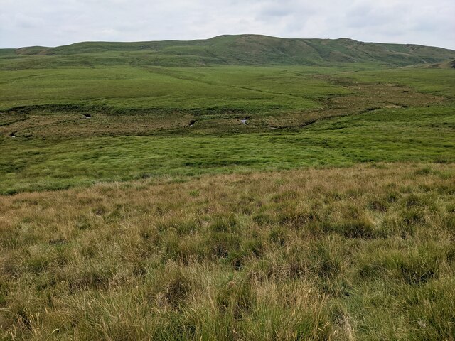
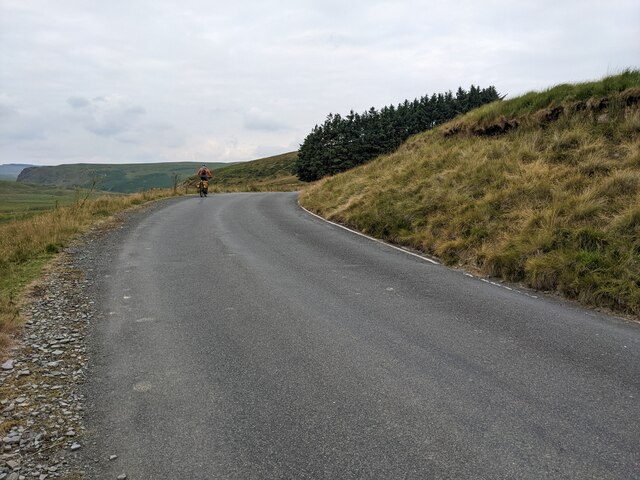
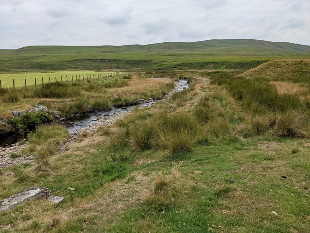
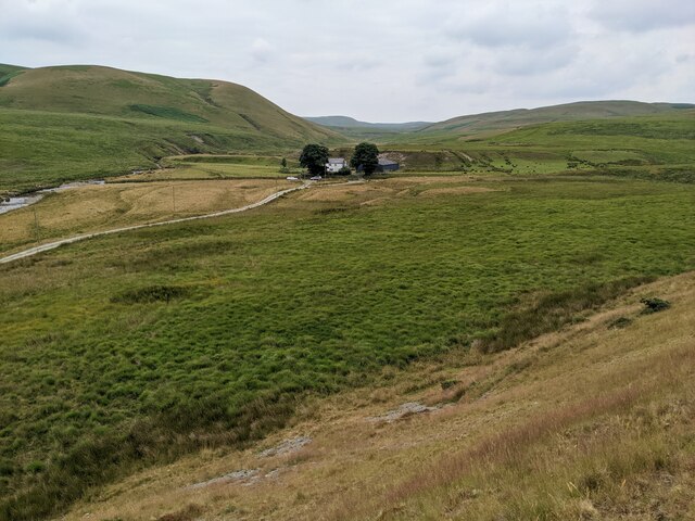
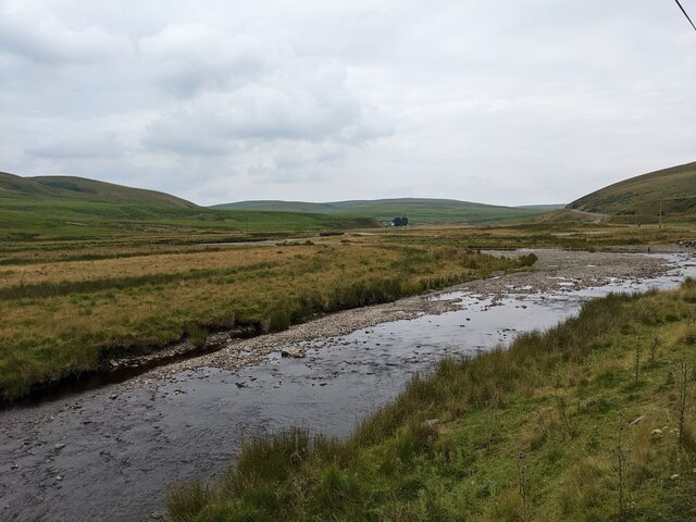
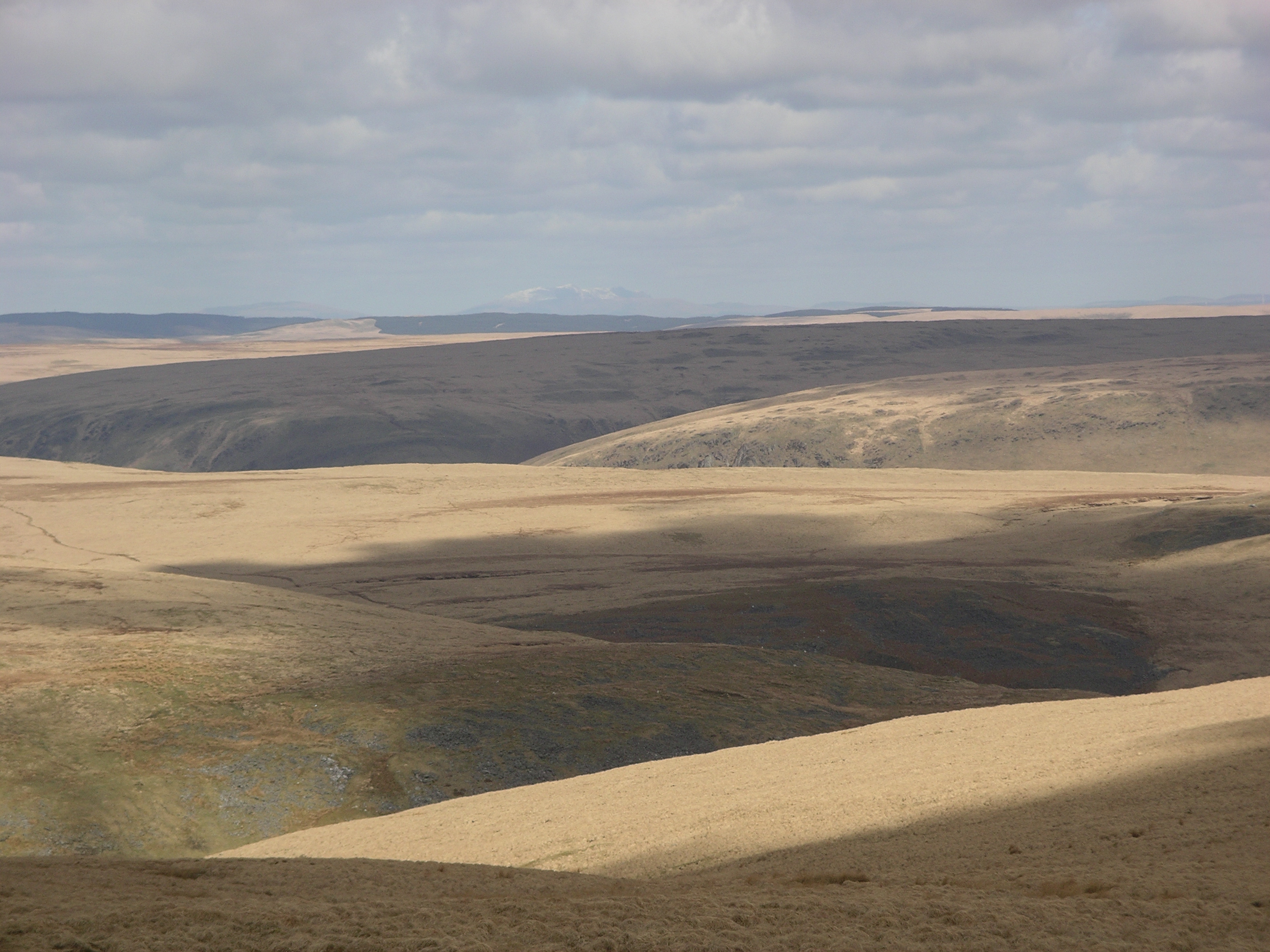
Nature enthusiasts will find plenty to explore in the surrounding area, with numerous walking trails and scenic spots nearby. The River Creuddyn, which runs through the village, offers opportunities for fishing and boating, while the nearby Cambrian Mountains provide breathtaking landscapes for hiking and wildlife spotting.
Though small in size, Abergwngu offers basic amenities to its residents, including a local pub, a post office, and a village hall. For more extensive facilities and services, residents can easily access nearby towns such as Aberystwyth or Tregaron.
Overall, Abergwngu is a tranquil and charming village that encapsulates the beauty of rural Wales, offering a peaceful retreat for both residents and visitors alike.
If you have any feedback on the listing, please let us know in the comments section below.
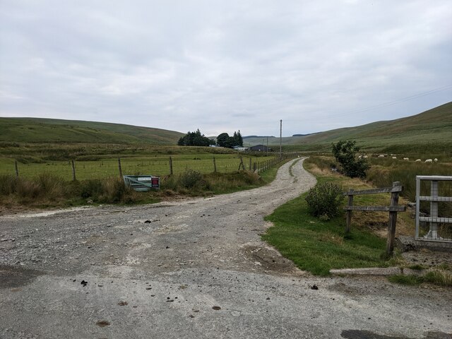
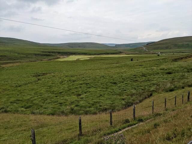
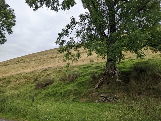
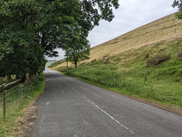
Abergwngu Images
Images are sourced within 2km of 52.34812/-3.661131 or Grid Reference SN8673. Thanks to Geograph Open Source API. All images are credited.
Abergwngu is located at Grid Ref: SN8673 (Lat: 52.34812, Lng: -3.661131)
Unitary Authority: Ceredigion
Police Authority: Dyfed Powys
What 3 Words
///striving.streaking.baseless. Near Cwmystwyth, Ceredigion
Nearby Locations
Related Wikis


Have you been to Abergwngu?
Leave your review of Abergwngu below (or comments, questions and feedback).