Beech Plantation

Wood, Forest in Norfolk King's Lynn and West Norfolk

England

Beech Plantation

St Mary, Hillington: churchyard (1)
St Mary, Hillington: churchyard (1) Credit: Basher Eyre

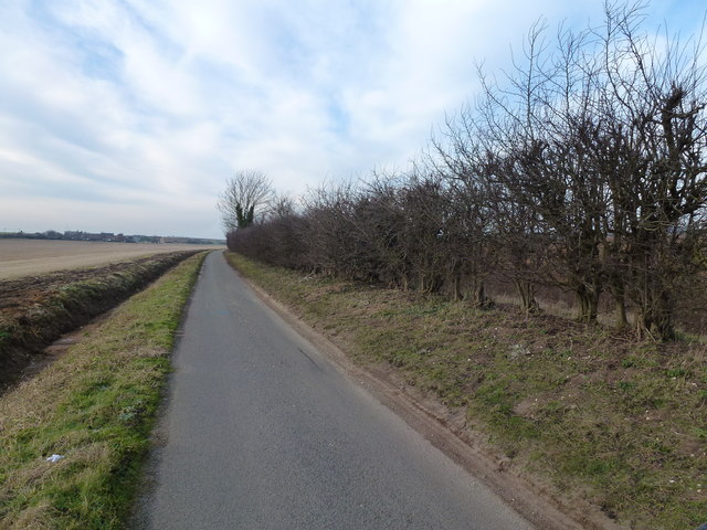
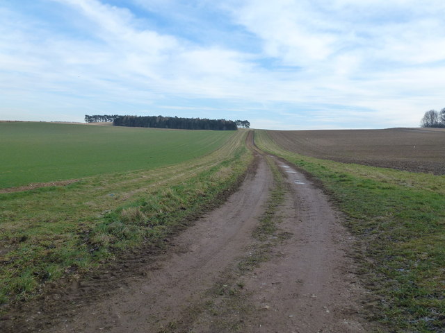
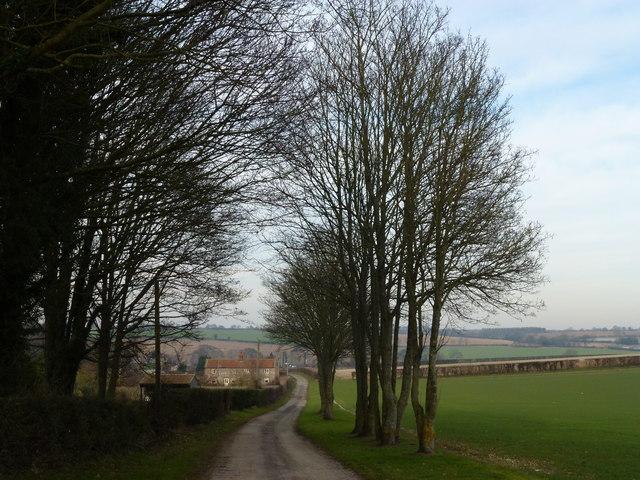
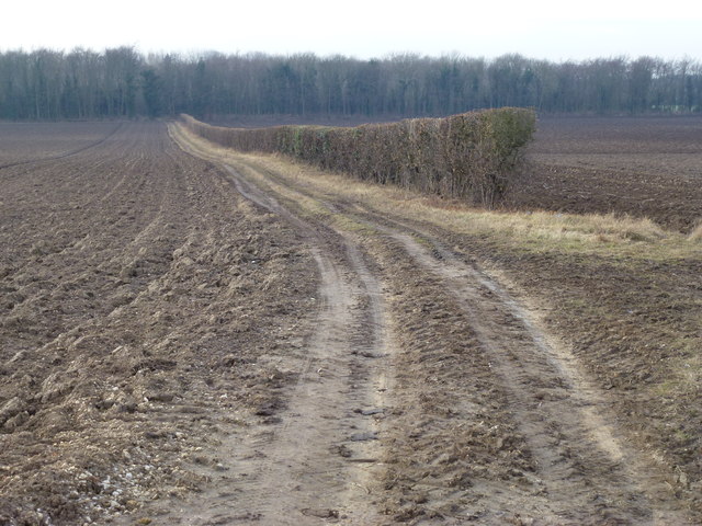
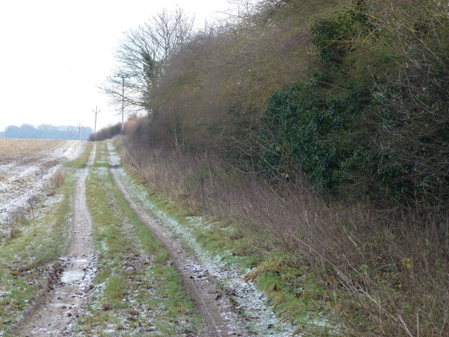
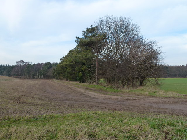
Beech Plantation, located in Norfolk, is a picturesque wood and forest area known for its dense population of beech trees. Covering an area of approximately 500 acres, the plantation is a popular destination for nature enthusiasts, hikers, and photographers.

The plantation is characterized by its rich biodiversity, with an abundance of flora and fauna. The dominant feature of the landscape is the beech trees, which provide a dense canopy, creating a cool and shaded environment. The beech trees in the plantation are known for their smooth, silver-gray bark and vibrant green leaves, which turn golden in the fall, enhancing the beauty of the woodland.

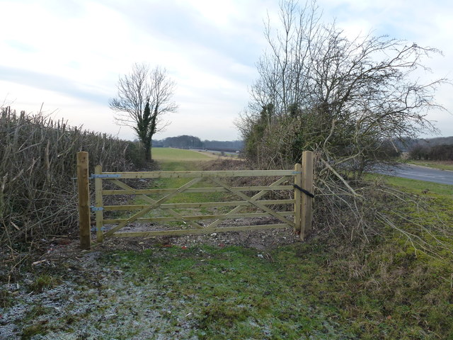
The plantation offers several walking trails that allow visitors to explore the area at their own pace. These trails wind through the forest, providing opportunities to observe wildlife such as deer, squirrels, and various bird species. Additionally, the plantation is home to a variety of plant species, including wildflowers, ferns, and mosses, adding to its natural charm.

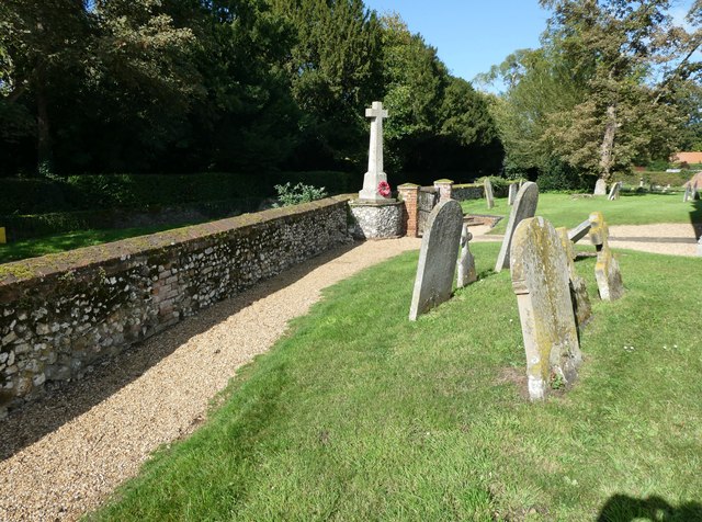
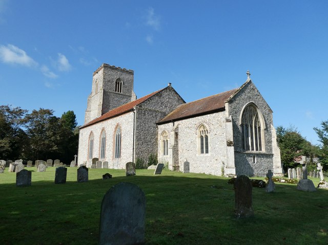
Beech Plantation also holds historical significance, with evidence of human presence dating back centuries. Ruins of old buildings and stone walls can be found scattered throughout the area, acting as reminders of the plantation's past. These remnants not only add a sense of intrigue but also provide a glimpse into the history of the land.

Overall, Beech Plantation in Norfolk offers visitors a serene and tranquil escape into nature, where they can admire the beauty of the beech trees, explore the diverse flora and fauna, and appreciate the historical remnants that dot the landscape.

If you have any feedback on the listing, please let us know in the comments section below.

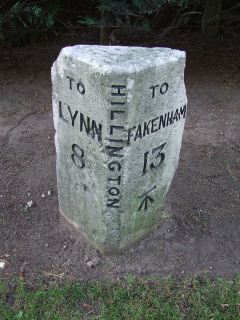
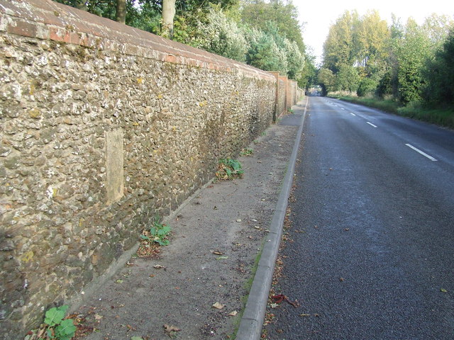
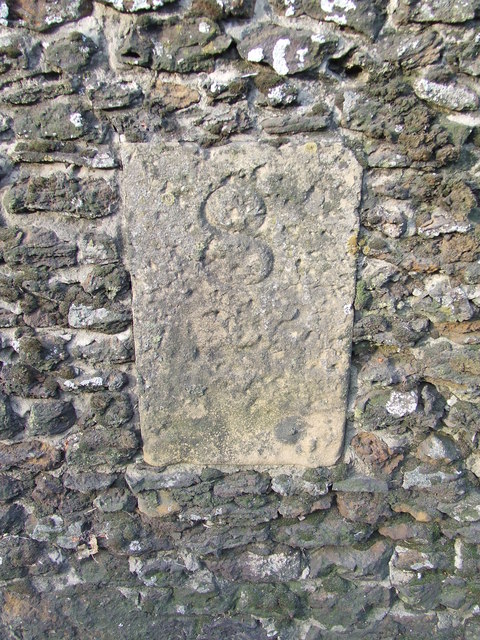
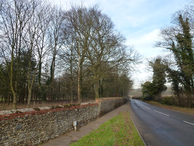
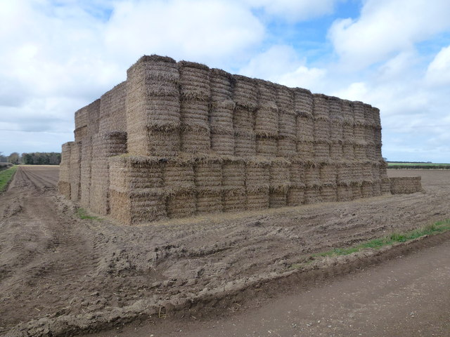
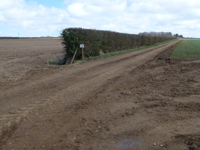
Beech Plantation Images

Images are sourced within 2km of 52.788287/0.5765432 or Grid Reference TF7324. Thanks to Geograph Open Source API. All images are credited.

St Mary, Hillington: churchyard (1)
St Mary, Hillington: churchyard (2)
St Mary, Hillington: churchyard (3)
Milepost Old milestone on the A.148 at Hillington, Norfolk. For close up view see <a title="https://www.geograph.org.uk/photo/2667552" href="https://www.geograph.org.uk/photo/2667552">Link</a>
Milepost
Old milestone on the A.148 at Hillington, Norfolk. For close up view see Link
Old Milestone Old milestone on the A.148 at Hillington, Norfolk. For overall view see <a title="https://www.geograph.org.uk/photo/2667548" href="https://www.geograph.org.uk/photo/2667548">Link</a>
Old Milestone
Old milestone on the A.148 at Hillington, Norfolk. For overall view see Link
Old Milestone Old milestone in a wall on the B1153 at Hillington, Norfolk. For close up view see <a title="https://www.geograph.org.uk/photo/2667561" href="https://www.geograph.org.uk/photo/2667561">Link</a>
Old Milestone
Old milestone in a wall on the B1153 at Hillington, Norfolk. For close up view see Link
Docking 8 Miles Old milestone in a wall on the B1153 at Hillington, Norfolk. For close up view see <a title="https://www.geograph.org.uk/photo/2667558" href="https://www.geograph.org.uk/photo/2667558">Link</a>
Docking 8 Miles
Old milestone in a wall on the B1153 at Hillington, Norfolk. For close up view see Link
Near Hillington Hall, King's Lynn
Abbey Road - No Beatles crossing it! This country lane in Norfolk runs from The Patch to Flitcham
Abbey Road - No Beatles crossing it!
This country lane in Norfolk runs from The Patch to Flitcham
Track up Bunker's Hill A private track starting near Valley Farm east of Hillington
Track up Bunker's Hill
A private track starting near Valley Farm east of Hillington
Lane from Valley Farm east of Hillington, Norfolk
Locked gate in Norfolk Near Field Farm on the A148 east of Hillington
Locked gate in Norfolk
Near Field Farm on the A148 east of Hillington
Track to Southern's Plantation near Hillington, Norfolk
Frosty track in Congham, Norfolk
Tree belt near Grimston Carr Looking north from Massingham Road
Tree belt near Grimston Carr
Looking north from Massingham Road
Pond near farm on Massingham Road Between Grimston and Great Massingham in Norfolk
Pond near farm on Massingham Road
Between Grimston and Great Massingham in Norfolk
Large straw stack east of Congham In the autumn, British carrot farmers start putting their crop “to bed” for the winter months by covering them with a thick layer of straw to protect them from the frost. This eco-friendly method of storage, takes place across large swathes of land in Nottinghamshire, Yorkshire, Lincolnshire, Norfolk, Suffolk and Scotland. The earth becomes nature’s larder, keeping the crop fresh and ready for harvest throughout the winter, allowing farmers to provide the UK with an 11-month supply of carrots. Before farmers adopted this practice in the 1990s, carrots were predominantly a summer vegetable.   <a title="https://www.geograph.org.uk/photo/3419185" href="https://www.geograph.org.uk/photo/3419185">Link</a>
Large straw stack east of Congham
In the autumn, British carrot farmers start putting their crop “to bed” for the winter months by covering them with a thick layer of straw to protect them from the frost. This eco-friendly method of storage, takes place across large swathes of land in Nottinghamshire, Yorkshire, Lincolnshire, Norfolk, Suffolk and Scotland. The earth becomes nature’s larder, keeping the crop fresh and ready for harvest throughout the winter, allowing farmers to provide the UK with an 11-month supply of carrots. Before farmers adopted this practice in the 1990s, carrots were predominantly a summer vegetable. Link
Private farm road north of Congham Heath
Show me another place!

Beech Plantation is located at Grid Ref: TF7324 (Lat: 52.788287, Lng: 0.5765432)

Administrative County: Norfolk

District: King's Lynn and West Norfolk

Police Authority: Norfolk

What 3 Words

///stands.chapels.expensive. Near Grimston, Norfolk

Nearby Locations

Beech Plantation

Related Wikis

Hillington railway station

Hillington railway station was a station in Hillington, Norfolk on the now closed Midland and Great Northern Joint Railway line between South Lynn and...

Hillington, Norfolk

Hillington is a village and civil parish in the English county of Norfolk. It covers an area of 10.27 km2 (3.97 sq mi) and had a population of 287 in 123...

Grimston, Norfolk

Grimston is a village and civil parish in the English county of Norfolk, approximately 6 miles north-east of King's Lynn. It covers an area of 18.08 km2...

Congham

Congham is a village and civil parish in the English county of Norfolk. It is situated some 6 miles (10 km) east of the town of King's Lynn and 34 miles...

Flitcham, Norfolk

Flitcham is a village and civil parish in the English county of Norfolk. The village is located 7.1 miles (11.4 km) north-east of King's Lynn and 33 miles...

Flitcham with Appleton

Flitcham with Appleton is a civil parish in the English county of Norfolk. It covers an area of 17.08 km2 (6.59 sq mi) and had a population of 236 in 96...

River Cong (Norfolk)

The River Cong is a stream in the west of the county of Norfolk, only 1.5 miles (2.4 km) in length. It is a tributary of the River Babingley. The spring...

Roydon, King's Lynn and West Norfolk

Roydon is a small village, civil parish and electoral ward east of King's Lynn in the English county of Norfolk. It covers an area of 4.62 km2 (1.78 sq...

Nearby Amenities

Located within 500m of 52.788287,0.5765432
Power: pole
Lat/Long: 52.7869986/0.5825275
Power: pole
Lat/Long: 52.7869565/0.5810603
Power: pole
Lat/Long: 52.7869256/0.5795637
Power: pole
Lat/Long: 52.7868818/0.5780482
Power: pole
Lat/Long: 52.7868478/0.5766481
Power: pole
Lat/Long: 52.7867245/0.5751783
Power: pole
Lat/Long: 52.7865915/0.5737084
Power: pole
Lat/Long: 52.7864698/0.5722976
Power: pole
Lat/Long: 52.7863514/0.5708572
The data included in this document is from www.openstreetmap.org. The data is made available under ODbL.

Have you been to Beech Plantation?

Leave your review of Beech Plantation below (or comments, questions and feedback).