Ten Acre Wood
Wood, Forest in Kent Tunbridge Wells
England
Ten Acre Wood

Ten Acre Wood, located in Kent, is a serene and picturesque woodland area that spans approximately ten acres. Nestled in the heart of the county, this forested retreat offers a tranquil environment for nature enthusiasts and families alike.
The wood is characterized by a diverse range of indigenous trees, including oak, beech, and birch. The dense canopy of foliage provides a cool and shaded atmosphere, making it an ideal spot for leisurely walks and picnics during the warmer months. A network of well-maintained footpaths meanders through the wood, allowing visitors to explore its beauty at their own pace.
Ten Acre Wood is renowned for its rich biodiversity, with a plethora of wildlife thriving within its borders. Birdwatchers can spot a variety of species, including woodpeckers, owls, and a multitude of songbirds. The wood is also home to small mammals such as squirrels, badgers, and foxes, offering nature enthusiasts a chance to catch a glimpse of these elusive creatures.
Notably, the wood is also designated as a Site of Special Scientific Interest (SSSI), as it boasts a diverse range of flora and fauna. Rare and protected plant species can be found scattered throughout the forest floor, providing a haven for botanists and nature conservationists.
Ten Acre Wood, with its enchanting beauty and abundant wildlife, offers a peaceful escape from the hustle and bustle of modern life. Whether one seeks solitude, a family outing, or a chance to connect with nature, this woodland gem in Kent is a must-visit destination.
If you have any feedback on the listing, please let us know in the comments section below.
Ten Acre Wood Images
Images are sourced within 2km of 51.097547/0.4814197 or Grid Reference TQ7336. Thanks to Geograph Open Source API. All images are credited.


Ten Acre Wood is located at Grid Ref: TQ7336 (Lat: 51.097547, Lng: 0.4814197)
Administrative County: Kent
District: Tunbridge Wells
Police Authority: Kent
What 3 Words
///cute.dusters.runners. Near Goudhurst, Kent
Related Wikis
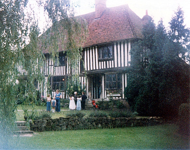
Pattyndenne Manor
Pattyndenne Manor is a Grade II* listed manor house located near to the village of Goudhurst, Kent. (grid reference TQ7236) == History == This Grade II...

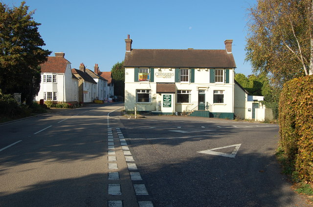
Goudhurst
Goudhurst is a village and civil parish in the borough of Tunbridge Wells in Kent, England. It lies in the Weald, around 12 miles (19 km) south of Maidstone...
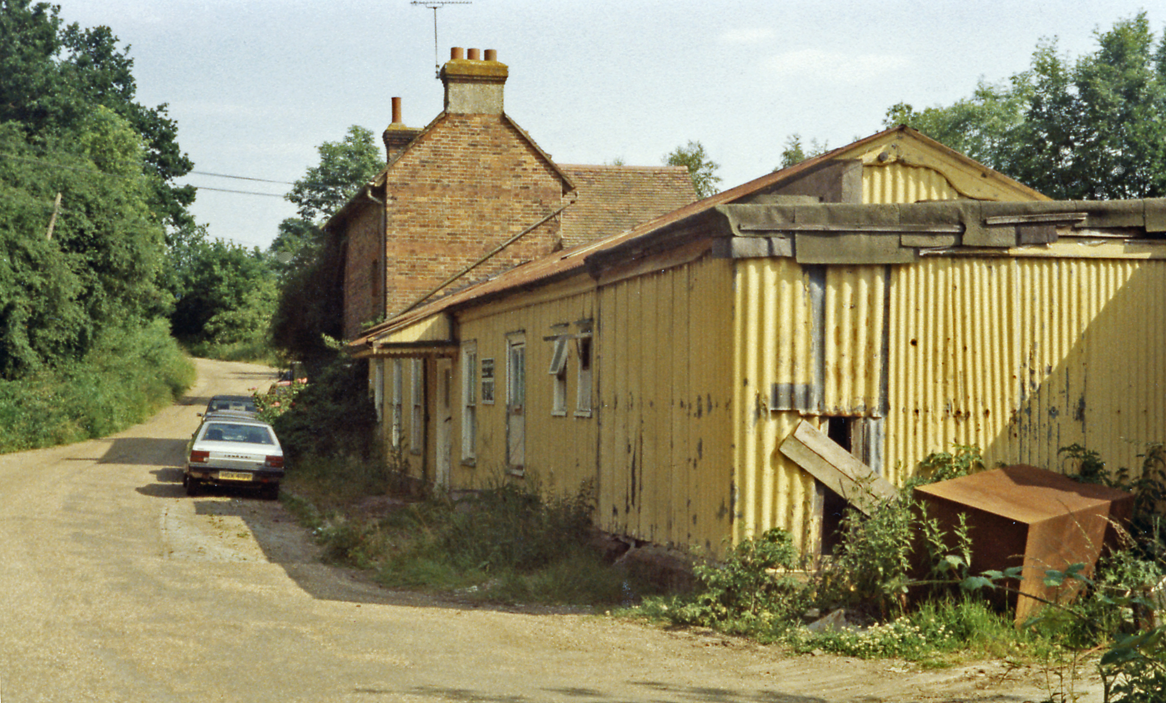
Cranbrook railway station (Kent)
Cranbrook railway station is a disused English station which was on the closed Hawkhurst Branch in Kent, England. == Background == The station was opened...

St Mary's Church, Goudhurst
St Mary's Church is a parish church in Goudhurst, Kent, England. It is a Grade I listed building. == Building == The church stands on a hill and its tower...

Hartley, Tunbridge Wells
Hartley is a village one mile southwest of Cranbrook in Kent, England. The only retailer in the area is a local farmshop, which has a cafe and fishmongers...

The Gill
The Gill is a 12-hectare (30-acre) nature reserve north of Goudhurst in Kent, England. It is managed by the Kent Wildlife Trust.This site has been planted...

Bedgebury National Pinetum
Bedgebury National Pinetum at Bedgebury, Kent, in the United Kingdom, is a recreational and conservational arboretum managed by Forestry England that was...
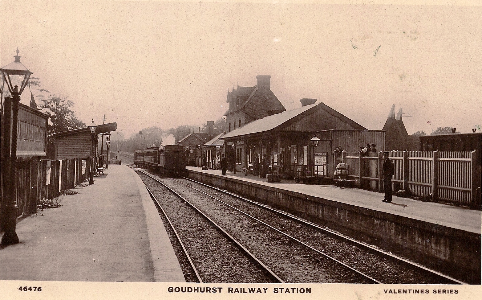
Goudhurst railway station
Goudhurst is a closed railway station on the closed Hawkhurst Branch in Kent, England. == History == The station originally opened on 1 October 1892 as...
Nearby Amenities
Located within 500m of 51.097547,0.4814197Have you been to Ten Acre Wood?
Leave your review of Ten Acre Wood below (or comments, questions and feedback).