Park Wood
Wood, Forest in Sussex Rother
England
Park Wood

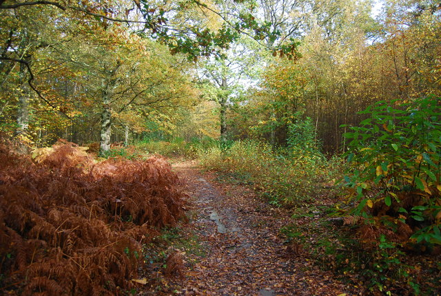
Park Wood is a picturesque forest located in Sussex, England. Spanning over an area of approximately 100 acres, it is known for its abundant flora and fauna, making it a popular destination for nature enthusiasts and wildlife lovers.
The wood is characterized by its dense canopy of mature trees, predominantly consisting of oak, beech, and chestnut. These towering trees provide a haven for a wide variety of bird species, including woodpeckers, owls, and colorful songbirds. The forest floor is blanketed with a diverse array of wildflowers, adding bursts of color to the serene landscape.
Park Wood offers numerous walking trails that wind through its enchanting woodland. These well-maintained paths allow visitors to explore the forest at their own pace, providing opportunities to spot various species of butterflies, squirrels, and even deer that roam freely within the wood.
The wood is also home to a small pond, which acts as a habitat for frogs and other amphibians. The tranquil atmosphere surrounding the pond makes it an ideal spot for picnics or simply enjoying the peaceful surroundings.
Managed by local conservation organizations, Park Wood is dedicated to preserving its natural beauty and ecosystem. Regular maintenance activities, such as tree thinning and controlled burns, are carried out to ensure the health and sustainability of the forest.
Overall, Park Wood in Sussex offers a serene and captivating experience for nature lovers, with its lush greenery, diverse wildlife, and well-maintained trails, making it a must-visit destination for anyone seeking a peaceful retreat in the heart of nature.
If you have any feedback on the listing, please let us know in the comments section below.
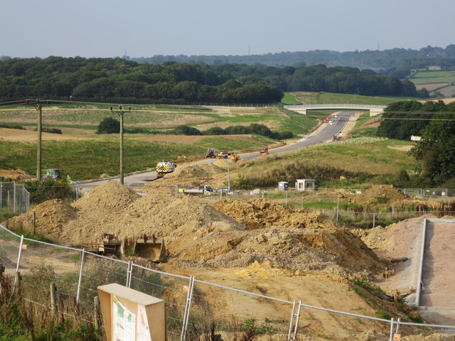
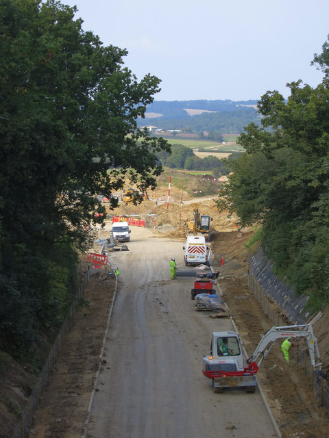
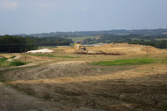
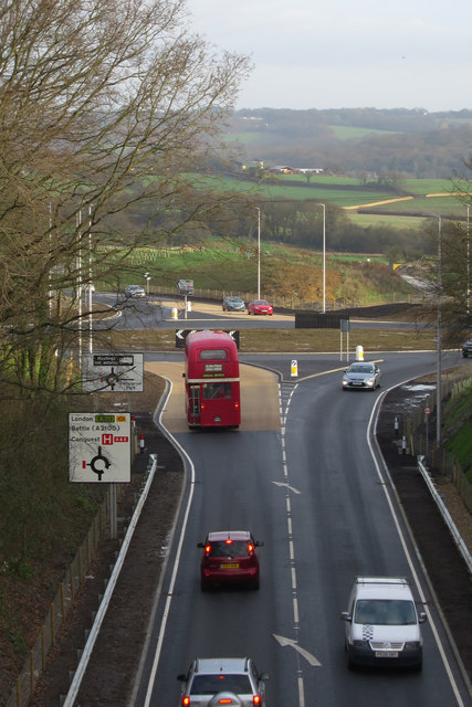
Park Wood Images
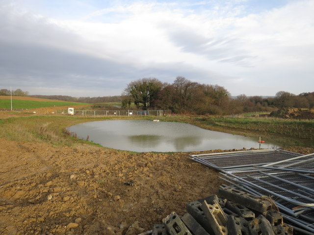
Images are sourced within 2km of 50.874177/0.46929207 or Grid Reference TQ7311. Thanks to Geograph Open Source API. All images are credited.


Park Wood is located at Grid Ref: TQ7311 (Lat: 50.874177, Lng: 0.46929207)
Administrative County: East Sussex
District: Rother
Police Authority: Sussex
What 3 Words
///moral.dozed.until. Near Bexhill-on-Sea, East Sussex
Nearby Locations
Related Wikis

Bexhill and Battle (UK Parliament constituency)
Bexhill and Battle () is a constituency in East Sussex represented in the House of Commons of the UK Parliament since 2015 by Huw Merriman of the Conservative...
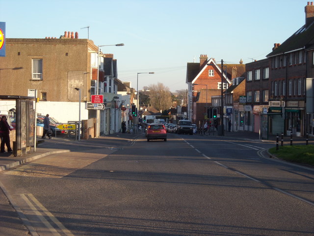
Sidley, East Sussex
Sidley is a village on the outskirts of Bexhill-on-Sea in East Sussex, England. Its governance falls within the jurisdiction of the Charter Trustees town...

Sidley United F.C.
Sidley United Football Club is a football club based in Sidley, near Bexhill, England. The club is affiliated to the Sussex County Football Association...

Bexhill High Academy
Bexhill High Academy (formerly Bexhill High School) is a coeducational secondary school with academy status, located in Bexhill-on-Sea in the English county...
Fore Wood
Fore Wood is a 20.9-hectare (52-acre) biological Site of Special Scientific Interest north-west of Hastings in East Sussex. It is part of the Royal Society...
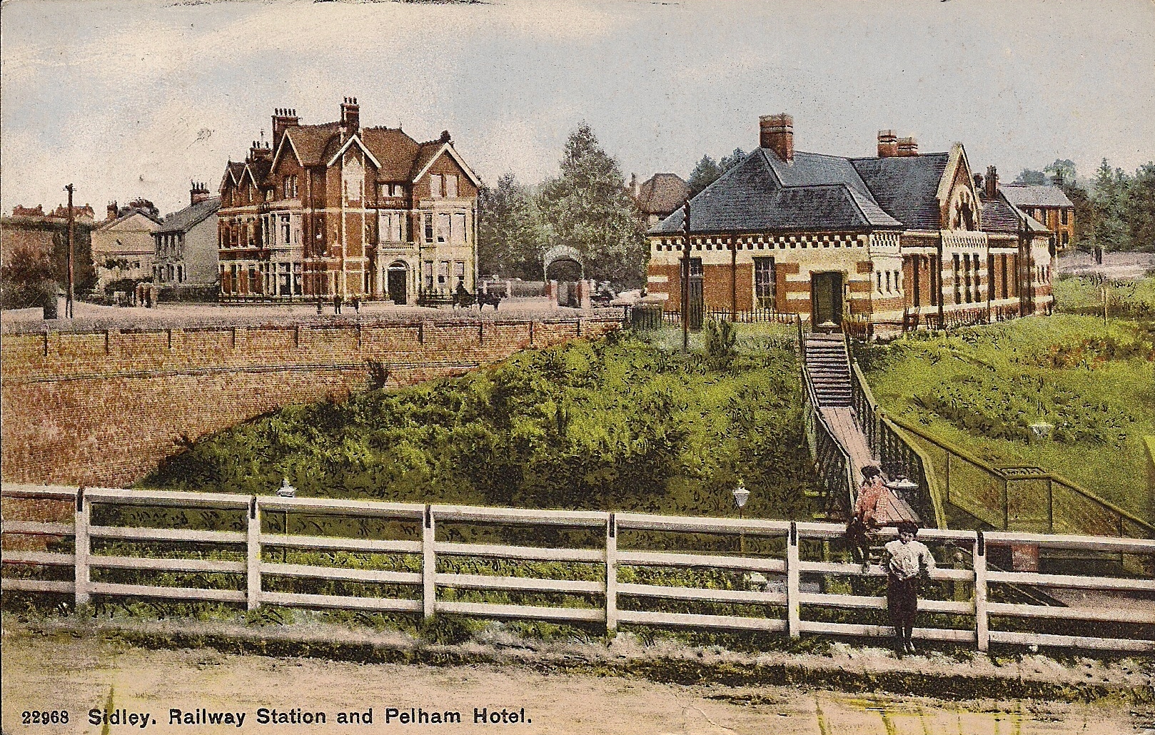
Sidley railway station
Sidley railway station is a closed railway station In Sidley, East Sussex. It was on the Bexhill West branch of the Hastings line from Tunbridge Wells...

Bexhill West branch line
The Bexhill West branch line was a short double-track branch line which was opened on 1 June 1902. It was built by the Crowhurst, Sidley & Bexhill Railway...
Bexhill Hospital
Bexhill Hospital is a National Health Service hospital at Bexhill-on-Sea in East Sussex, England. It is managed by the East Sussex Healthcare NHS Trust...
Nearby Amenities
Located within 500m of 50.874177,0.46929207Have you been to Park Wood?
Leave your review of Park Wood below (or comments, questions and feedback).