Egie's Belt
Wood, Forest in Suffolk West Suffolk
England
Egie's Belt
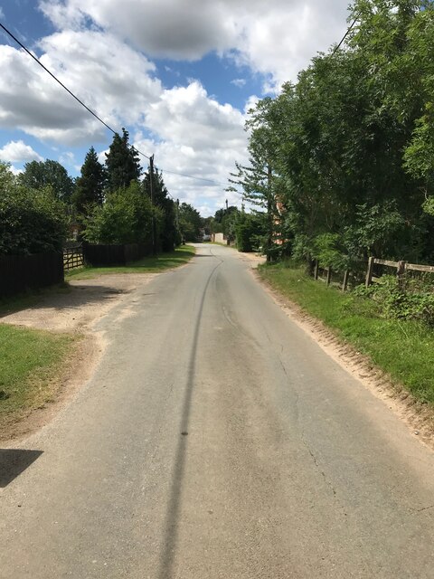
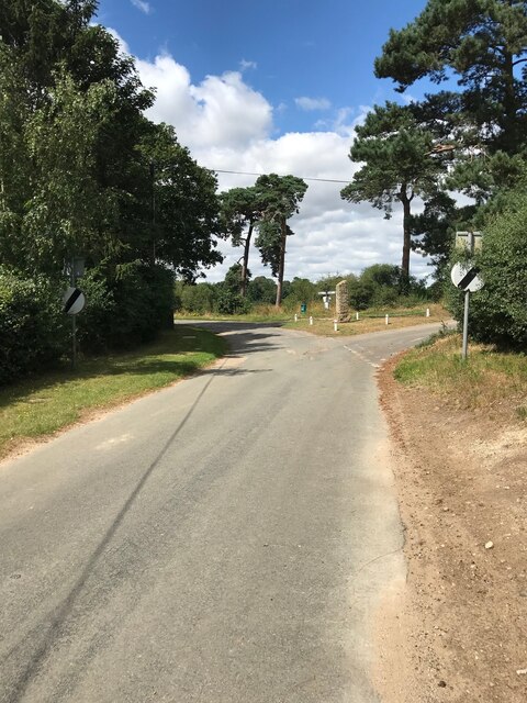
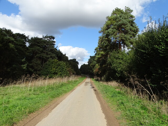
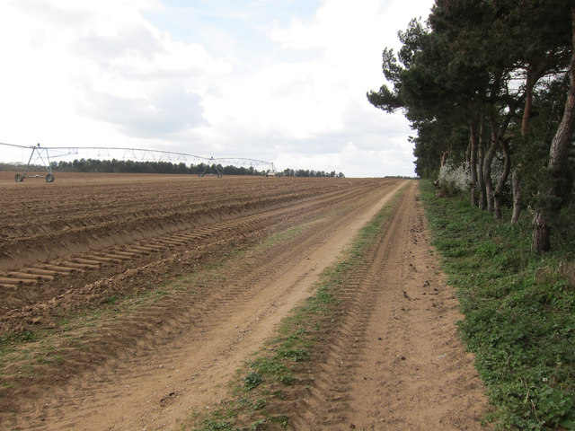
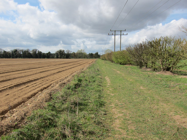
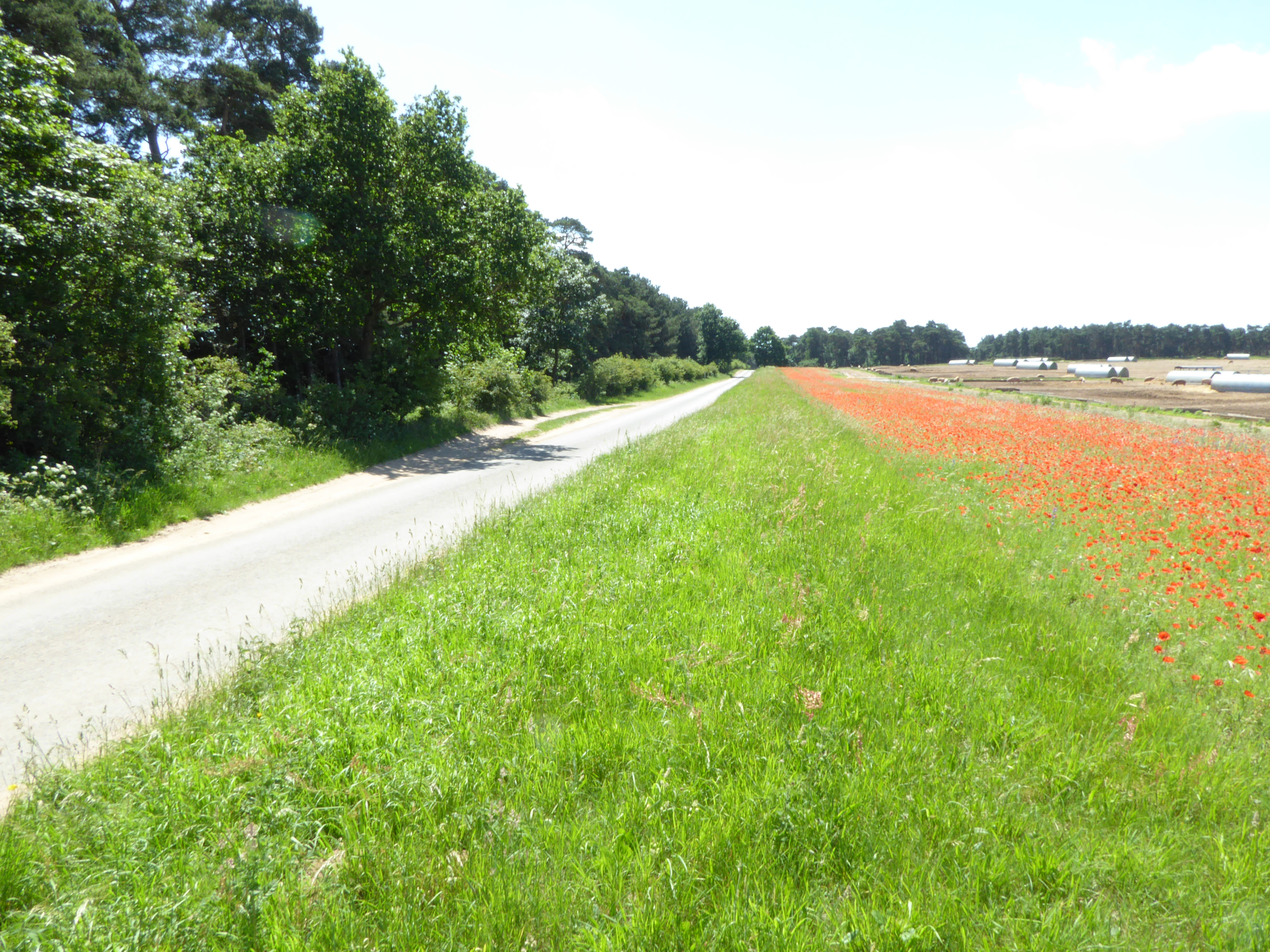
Egie's Belt is a serene woodland located in Suffolk, England. Nestled amidst the picturesque countryside, this forested area spans over a substantial acreage, providing a peaceful retreat for nature enthusiasts and outdoor adventurers alike.
The woodland is predominantly composed of a variety of native trees, including oak, beech, and pine, which create a diverse and vibrant ecosystem. The lush greenery is further enhanced by a dense undergrowth of ferns, mosses, and wildflowers, adding a touch of natural beauty to the surroundings.
Egie's Belt boasts well-maintained walking trails that meander through the forest, allowing visitors to immerse themselves in the tranquil ambiance while exploring the area. The trails are suitable for all levels of hikers, from beginners to experienced trekkers, providing an opportunity to appreciate the breathtaking views and observe the local wildlife.
Birdwatchers will be delighted by the presence of various avian species, including woodpeckers, nightingales, and owls, making Egie's Belt a paradise for bird enthusiasts. Additionally, the forest is home to an array of mammals, such as deer, foxes, and rabbits, providing ample opportunities for wildlife spotting.
Egie's Belt is a popular destination for nature lovers seeking solace in the great outdoors. Its serene atmosphere, well-maintained trails, and abundant wildlife make it an ideal location for hiking, birdwatching, and simply reconnecting with nature. Whether it's a leisurely walk or an adventurous exploration, Egie's Belt offers a peaceful escape from the hustle and bustle of everyday life.
If you have any feedback on the listing, please let us know in the comments section below.
Egie's Belt Images
Images are sourced within 2km of 52.299768/0.53284123 or Grid Reference TL7269. Thanks to Geograph Open Source API. All images are credited.


Egie's Belt is located at Grid Ref: TL7269 (Lat: 52.299768, Lng: 0.53284123)
Administrative County: Suffolk
District: West Suffolk
Police Authority: Suffolk
What 3 Words
///caves.frizz.archduke. Near Mildenhall, Suffolk
Nearby Locations
Related Wikis

Herringswell
Herringswell is a village and civil parish in the West Suffolk district of Suffolk in eastern England. In 2005 it had a population of 190. In 2007 there...

Shi-Tennoji School in UK
Shi-Tennoji School in UK (英国四天王寺学園, Eikoku Shitennōji Gakuen) was a Japanese international secondary school in Herringswell, Suffolk, England, United Kingdom...

Tuddenham
Tuddenham is a village and civil parish in the West Suffolk district of Suffolk in eastern England. In 2005 it had a population of 450. falling to 423...
Cherry Hill and The Gallops, Barton Mills
Cherry Hill and The Gallops, Barton Mills is a 10.4-hectare (26-acre) biological Site of Special Scientific Interest south of Barton Mills in Suffolk....

Red Lodge, Suffolk
Red Lodge is a village and civil parish situated in rural Suffolk, England, between Mildenhall and Newmarket, and very close to the A11 and A14 roads....
RAF Tuddenham
Royal Air Force Tuddenham or RAF Tuddenham is a former Royal Air Force station located 3.2 miles (5.1 km) south east of Mildenhall, Suffolk, England and...

Red Lodge Heath
Red Lodge Heath is a 20.8-hectare (51-acre) biological Site of Special Scientific Interest in Red Lodge in Suffolk.Habitats on this site are chalk grassland...

St Nicholas Church, Kennett
St Nicholas Church is the parish church of the village of Kennett in east Cambridgeshire. It has been dedicated to St Nicholas since the 13th century....
Nearby Amenities
Located within 500m of 52.299768,0.53284123Have you been to Egie's Belt?
Leave your review of Egie's Belt below (or comments, questions and feedback).