Egie's Plantation
Wood, Forest in Suffolk West Suffolk
England
Egie's Plantation
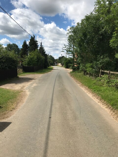
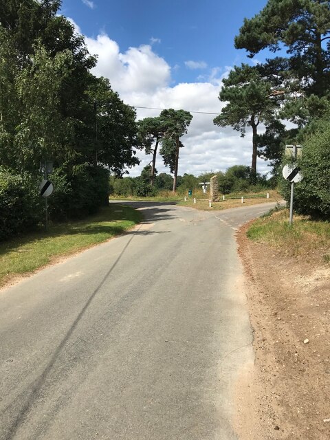
Egie's Plantation, located in Suffolk, is a picturesque woodland area known for its natural beauty and serene atmosphere. Situated on the outskirts of the town, the plantation covers a vast area of lush greenery and diverse flora, making it a popular destination for nature enthusiasts and outdoor enthusiasts alike.
The plantation is predominantly made up of dense forest, with towering trees providing a canopy that filters sunlight, creating a cool and tranquil environment. The woodlands consist of a variety of tree species, including oak, birch, beech, and pine, offering a rich and diverse ecosystem that supports a wide range of wildlife.
Visitors to Egie's Plantation can enjoy a variety of recreational activities. There are several well-maintained trails that wind through the woods, providing opportunities for hiking, jogging, or simply strolling amidst nature's wonders. The plantation also offers designated picnic areas, where visitors can relax and enjoy a meal surrounded by the peaceful ambiance of the forest.
For those interested in wildlife observation, Egie's Plantation is home to an array of animals, including deer, squirrels, rabbits, and a variety of bird species. Nature lovers can spend hours exploring the woods, hoping to catch a glimpse of these fascinating creatures in their natural habitat.
Egie's Plantation is not only a haven for nature enthusiasts but also serves as an important ecological site. The woodland plays a crucial role in maintaining the local ecosystem, acting as a carbon sink, purifying the air, and providing a habitat for numerous plant and animal species.
Overall, Egie's Plantation in Suffolk is a true gem, offering a peaceful retreat where visitors can immerse themselves in the beauty of nature while enjoying a range of outdoor activities.
If you have any feedback on the listing, please let us know in the comments section below.
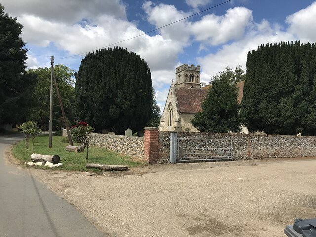
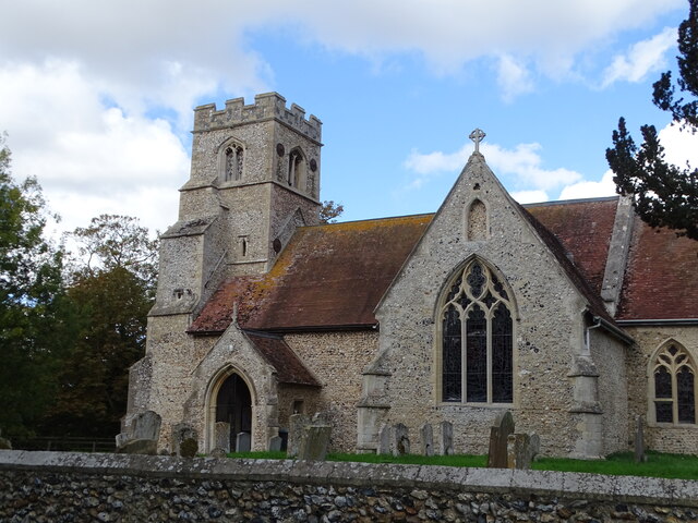
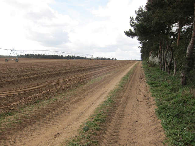
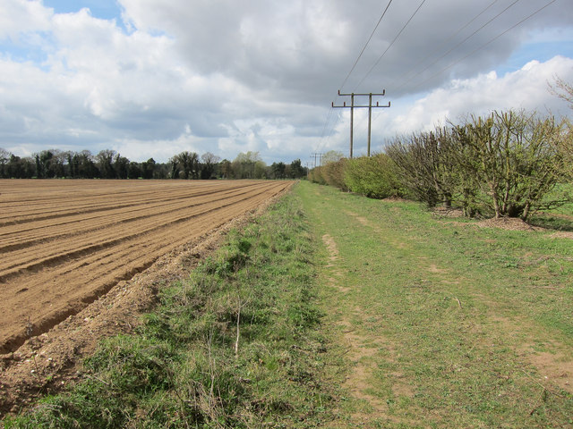
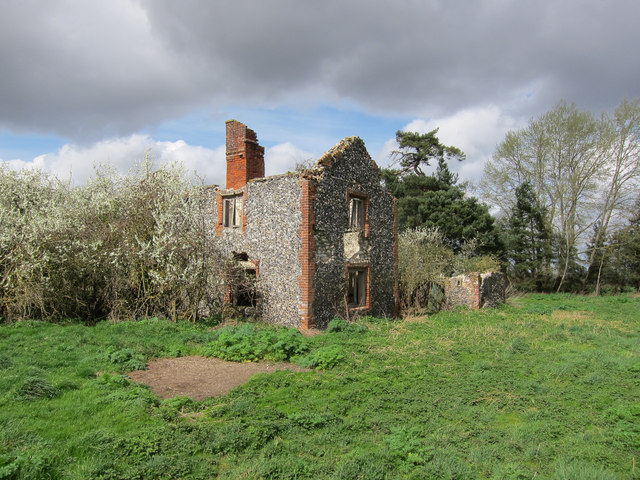
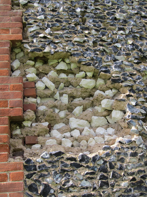
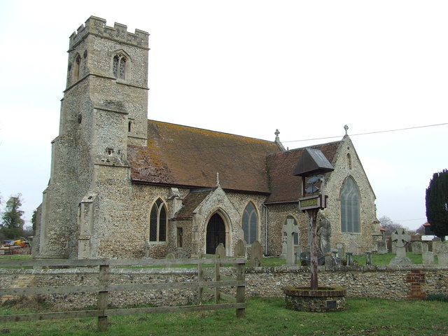
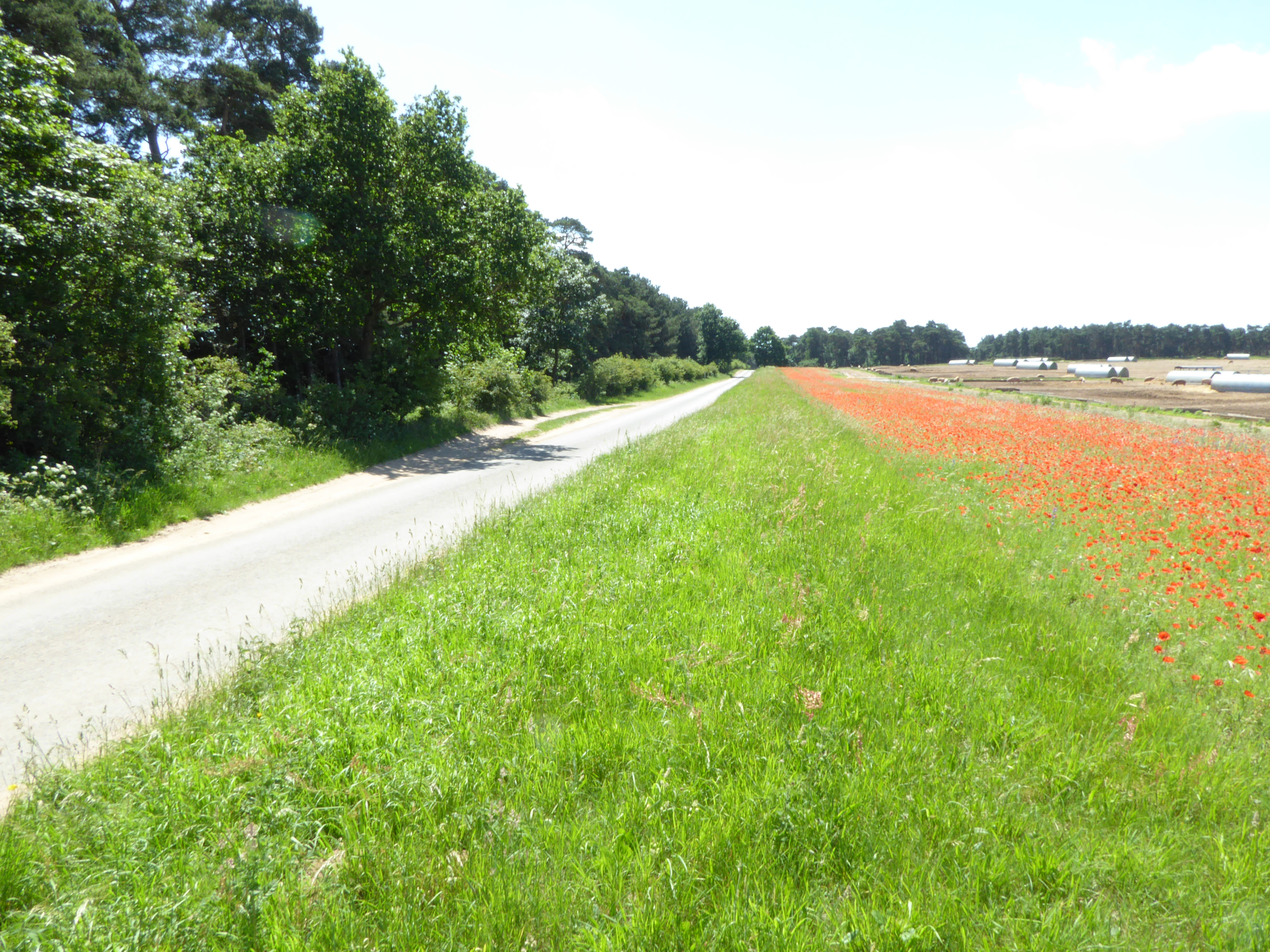
Egie's Plantation Images
Images are sourced within 2km of 52.294653/0.53191865 or Grid Reference TL7269. Thanks to Geograph Open Source API. All images are credited.


Egie's Plantation is located at Grid Ref: TL7269 (Lat: 52.294653, Lng: 0.53191865)
Administrative County: Suffolk
District: West Suffolk
Police Authority: Suffolk
What 3 Words
///meals.nesting.continues. Near Mildenhall, Suffolk
Nearby Locations
Related Wikis

Herringswell
Herringswell is a village and civil parish in the West Suffolk district of Suffolk in eastern England. In 2005 it had a population of 190. In 2007 there...

Shi-Tennoji School in UK
Shi-Tennoji School in UK (英国四天王寺学園, Eikoku Shitennōji Gakuen) was a Japanese international secondary school in Herringswell, Suffolk, England, United Kingdom...

Tuddenham
Tuddenham is a village and civil parish in the West Suffolk district of Suffolk in eastern England. In 2005 it had a population of 450. falling to 423...
Cherry Hill and The Gallops, Barton Mills
Cherry Hill and The Gallops, Barton Mills is a 10.4-hectare (26-acre) biological Site of Special Scientific Interest south of Barton Mills in Suffolk....

Red Lodge, Suffolk
Red Lodge is a village and civil parish situated in rural Suffolk, England, between Mildenhall and Newmarket, and very close to the A11 and A14 roads....

St Nicholas Church, Kennett
St Nicholas Church is the parish church of the village of Kennett in east Cambridgeshire. It has been dedicated to St Nicholas since the 13th century....

Kentford
Kentford is a village and civil parish located in the West Suffolk district of Suffolk in eastern England. Situated on the banks of the River Kennet, the...

Red Lodge Heath
Red Lodge Heath is a 20.8-hectare (51-acre) biological Site of Special Scientific Interest in Red Lodge in Suffolk.Habitats on this site are chalk grassland...
Nearby Amenities
Located within 500m of 52.294653,0.53191865Have you been to Egie's Plantation?
Leave your review of Egie's Plantation below (or comments, questions and feedback).