Eleven Acre Wood
Wood, Forest in Suffolk West Suffolk
England
Eleven Acre Wood
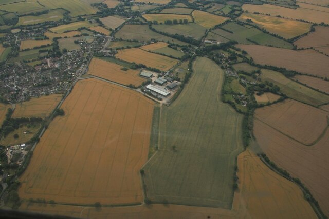
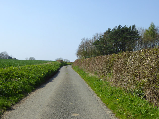
Eleven Acre Wood is a picturesque forest located in the county of Suffolk, England. Covering an area of approximately eleven acres, this woodland is a popular destination for nature enthusiasts and outdoor lovers alike.
The wood is characterized by its diverse range of flora and fauna, providing a habitat for various species of plants and animals. Tall, majestic oak trees dominate the landscape, their branches stretching out to create a canopy that filters the sunlight and casts a dappled shade on the forest floor. The forest floor itself is covered in a thick layer of moss, providing a soft and cushioned path for visitors to explore.
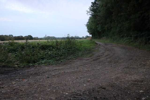
Winding trails and footpaths meander through the woodland, offering visitors the opportunity to immerse themselves in the tranquility of nature. The sound of birdsong fills the air, as a multitude of avian species call this forest their home. Visitors may spot woodland creatures such as squirrels, rabbits, and even the occasional deer, adding to the enchanting ambiance of the wood.
Eleven Acre Wood is not only a haven for wildlife but also offers recreational activities for visitors to enjoy. Picnic areas are scattered throughout the wood, providing the perfect spot for a leisurely lunch amidst the natural beauty. Additionally, designated camping areas allow nature enthusiasts to spend a night under the stars, surrounded by the peaceful serenity of the forest.
Overall, Eleven Acre Wood in Suffolk is a captivating and idyllic destination for those seeking a respite from the hustle and bustle of everyday life. Its natural beauty, diverse ecosystem, and recreational opportunities make it a must-visit location for nature lovers of all ages.
If you have any feedback on the listing, please let us know in the comments section below.
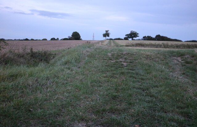
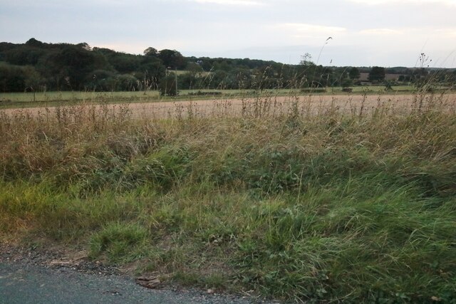
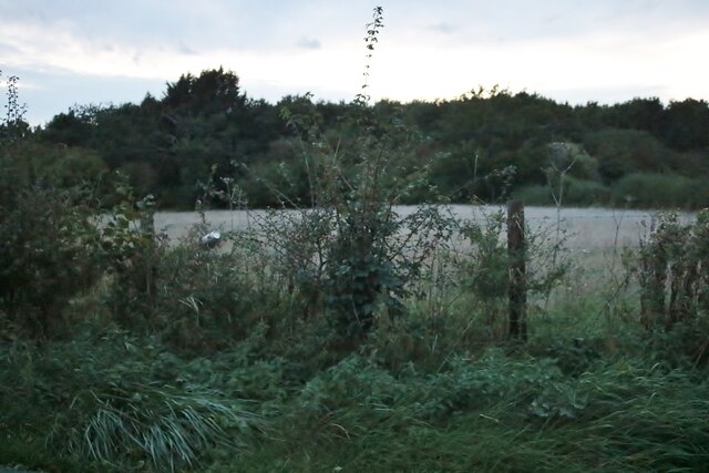
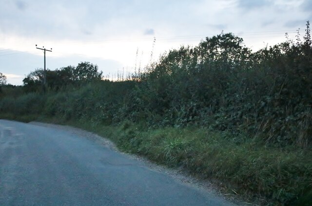
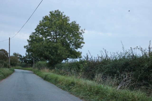
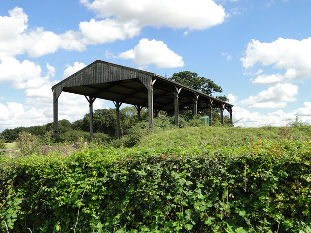
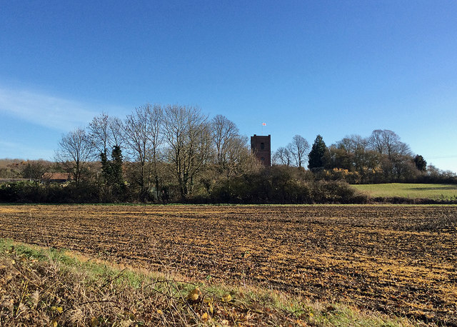
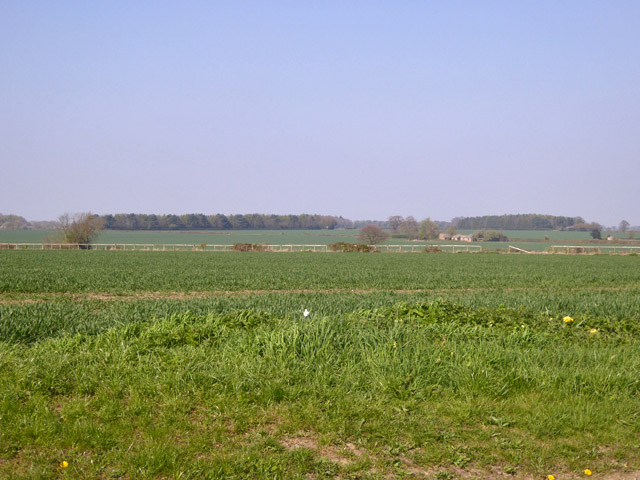
Eleven Acre Wood Images
Images are sourced within 2km of 52.166003/0.52495752 or Grid Reference TL7254. Thanks to Geograph Open Source API. All images are credited.


Eleven Acre Wood is located at Grid Ref: TL7254 (Lat: 52.166003, Lng: 0.52495752)
Administrative County: Suffolk
District: West Suffolk
Police Authority: Suffolk
What 3 Words
///tailwind.painters.store. Near Kedington, Suffolk
Nearby Locations
Related Wikis

Cowlinge
Cowlinge (/ˈkuː.lɪnʤ/), pronounced "Coolinje", is a village and civil parish in the West Suffolk district of Suffolk in eastern England close to the Cambridgeshire...

Wickhambrook
Wickhambrook is a village and civil parish in the West Suffolk district of Suffolk in eastern England. It is about ten miles (16 km) south-west from Bury...

Lidgate
Lidgate is a small village and a civil parish in the West Suffolk district, in the English county of Suffolk. Lidgate is located on the B1063 road in between...

Attleton Green
Attleton Green is a hamlet in Suffolk, England. == External links == Media related to Attleton Green at Wikimedia Commons
Coltsfoot Green
Coltsfoot Green is a small hamlet within the village of Wickhambrook, Suffolk, England. It constitutes one of its eleven village greens and consists of...
HM Prison Highpoint North
HM Prison Highpoint North (formerly called Highpoint Prison and Edmunds Hill Prison) is a Category C men's prison, located in the village of Stradishall...

Clare Rural District
Clare Rural District was a rural district in the county of West Suffolk, England. It was created in 1894, comprising those parishes in the Risbridge rural...
Stradishall
Stradishall is a village and civil parish in West Suffolk in the English county of Suffolk. The civil parish includes a number of hamlets including Farley...
Nearby Amenities
Located within 500m of 52.166003,0.52495752Have you been to Eleven Acre Wood?
Leave your review of Eleven Acre Wood below (or comments, questions and feedback).