Anmer Field Covert
Wood, Forest in Norfolk King's Lynn and West Norfolk
England
Anmer Field Covert
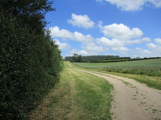
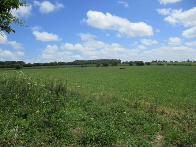
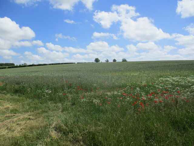
Anmer Field Covert, located in Norfolk, England, is a picturesque wood or forest that spans an approximate area of 200 acres. It is situated near the village of Anmer, within the Sandringham Estate. The covert is characterized by its diverse woodland habitat, comprising a mixture of deciduous and coniferous trees.
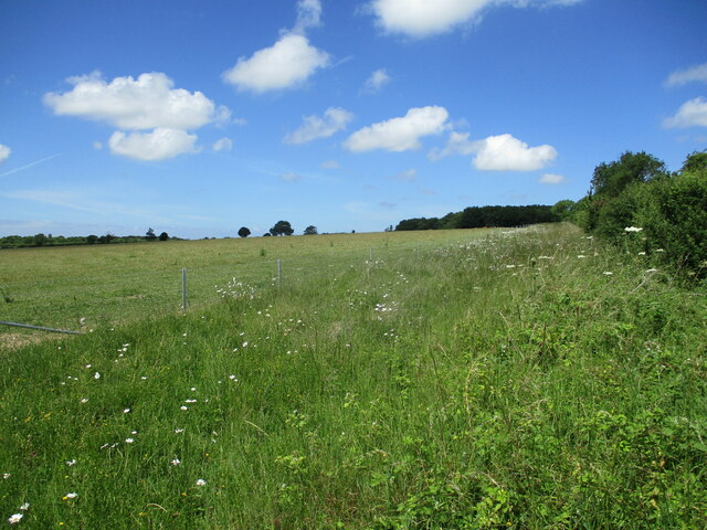
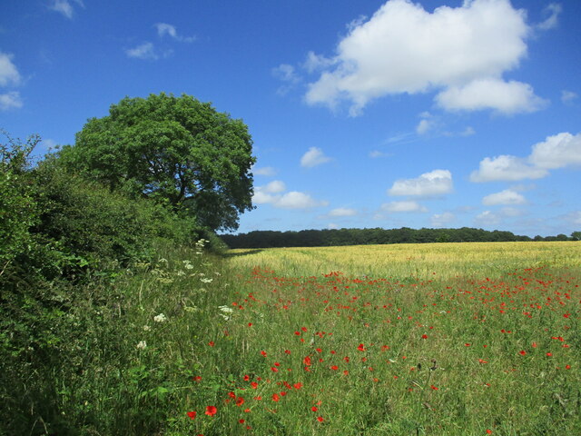
The woodland is home to an array of wildlife, making it a haven for nature enthusiasts. It provides a suitable habitat for numerous bird species, including woodpeckers, owls, and various songbirds. Additionally, mammals such as deer, foxes, and badgers are known to inhabit the area. The woodland floor boasts a rich diversity of plants and wildflowers, adding to its natural charm.
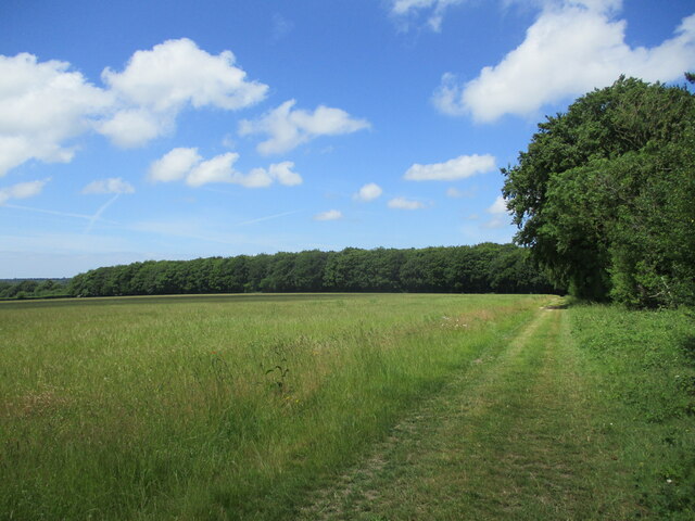
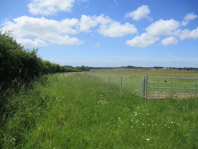
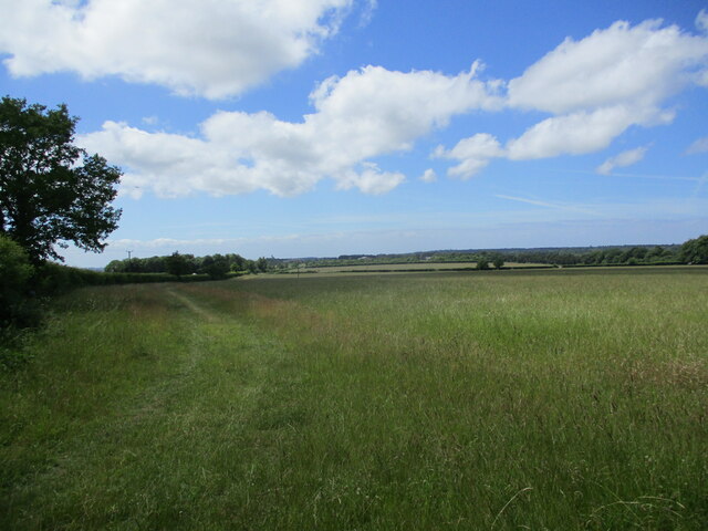
Anmer Field Covert offers visitors a tranquil and serene environment, ideal for walking, hiking, and observing wildlife. Several well-marked trails meander through the woodland, providing opportunities for exploration and discovery. The dense canopy above creates a shaded and cool atmosphere, perfect for a leisurely stroll on a hot summer's day.
The woodland is managed and maintained by the Sandringham Estate, ensuring its preservation and conservation. The management practices prioritize sustainable forestry, maintaining a healthy and balanced ecosystem. Visitors are encouraged to respect the natural environment and adhere to any guidelines provided to ensure the continued protection of this beautiful woodland.
In conclusion, Anmer Field Covert in Norfolk is a captivating woodland area, boasting a diverse range of flora and fauna. Its peaceful ambiance and natural beauty make it a favored destination for nature lovers and those seeking a tranquil escape amidst the enchanting Norfolk countryside.
If you have any feedback on the listing, please let us know in the comments section below.
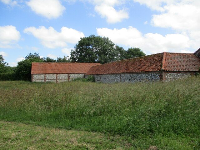
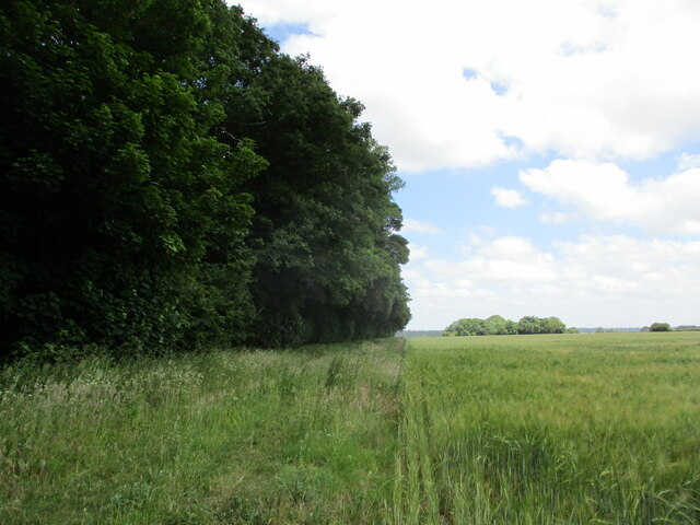
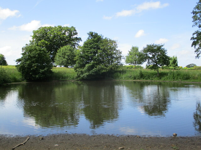
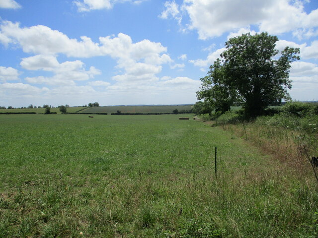
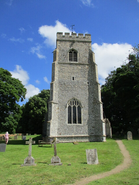
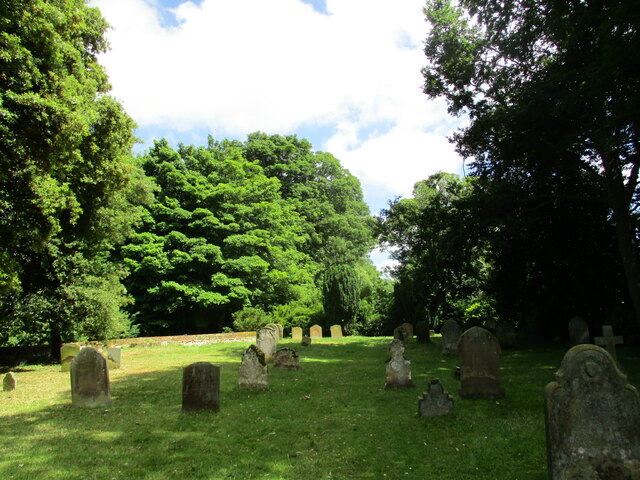
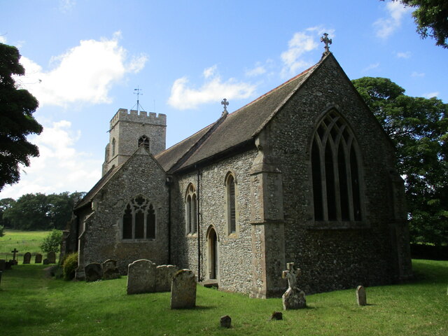
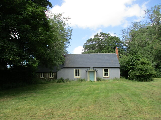
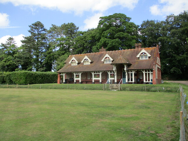
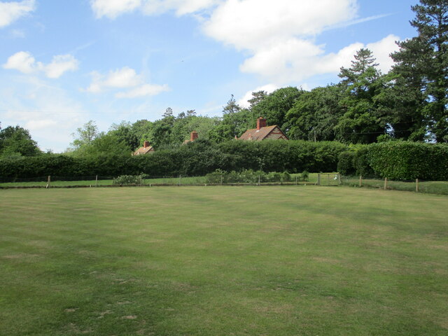
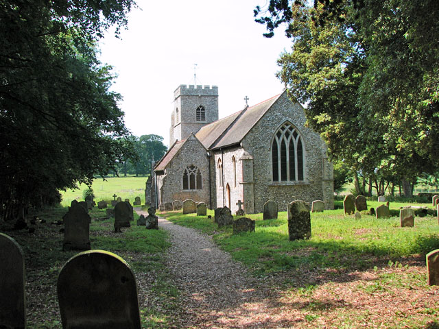
Anmer Field Covert Images
Images are sourced within 2km of 52.836293/0.55623624 or Grid Reference TF7229. Thanks to Geograph Open Source API. All images are credited.
Anmer Field Covert is located at Grid Ref: TF7229 (Lat: 52.836293, Lng: 0.55623624)
Administrative County: Norfolk
District: King's Lynn and West Norfolk
Police Authority: Norfolk
What 3 Words
///bounded.hockey.outings. Near Dersingham, Norfolk
Nearby Locations
Related Wikis

Anmer Hall
Anmer Hall is a Georgian country house in the village of Anmer in Norfolk, England. Built in the 19th century, it was acquired by the Sandringham Estate...
Anmer
Anmer is a small village and civil parish in the English county of Norfolk. It is around 12 miles (19 km) north-east of the town of King's Lynn and 35...
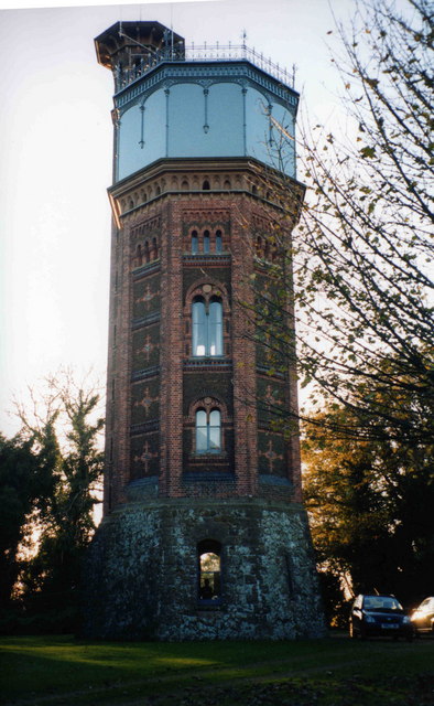
Appleton Water Tower
The Appleton Water Tower is a Victorian water tower located in Sandringham, Norfolk. It was constructed in 1877 to improve the quality of the water supply...

York Cottage
York Cottage is a house in the grounds of Sandringham House in Norfolk, England. == History == The cottage was originally called the Bachelor's Cottage...

Flitcham with Appleton
Flitcham with Appleton is a civil parish in the English county of Norfolk. It covers an area of 17.08 km2 (6.59 sq mi) and had a population of 236 in 96...

Flitcham, Norfolk
Flitcham is a village and civil parish in the English county of Norfolk. The village is located 7.1 miles (11.4 km) north-east of King's Lynn and 33 miles...

Sandringham House
Sandringham House is a country house in the parish of Sandringham, Norfolk, England. It is one of the royal residences of Charles III, whose grandfather...
Shernborne
Shernborne is a civil parish in the English county of Norfolk. It covers an area of 5.63 km2 (2.17 sq mi) and had a population of 59 in 24 households at...
Have you been to Anmer Field Covert?
Leave your review of Anmer Field Covert below (or comments, questions and feedback).