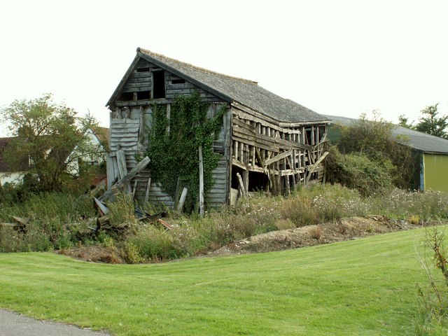
Elm's Wood
Wood, Forest in Essex Braintree
England
Elm's Wood
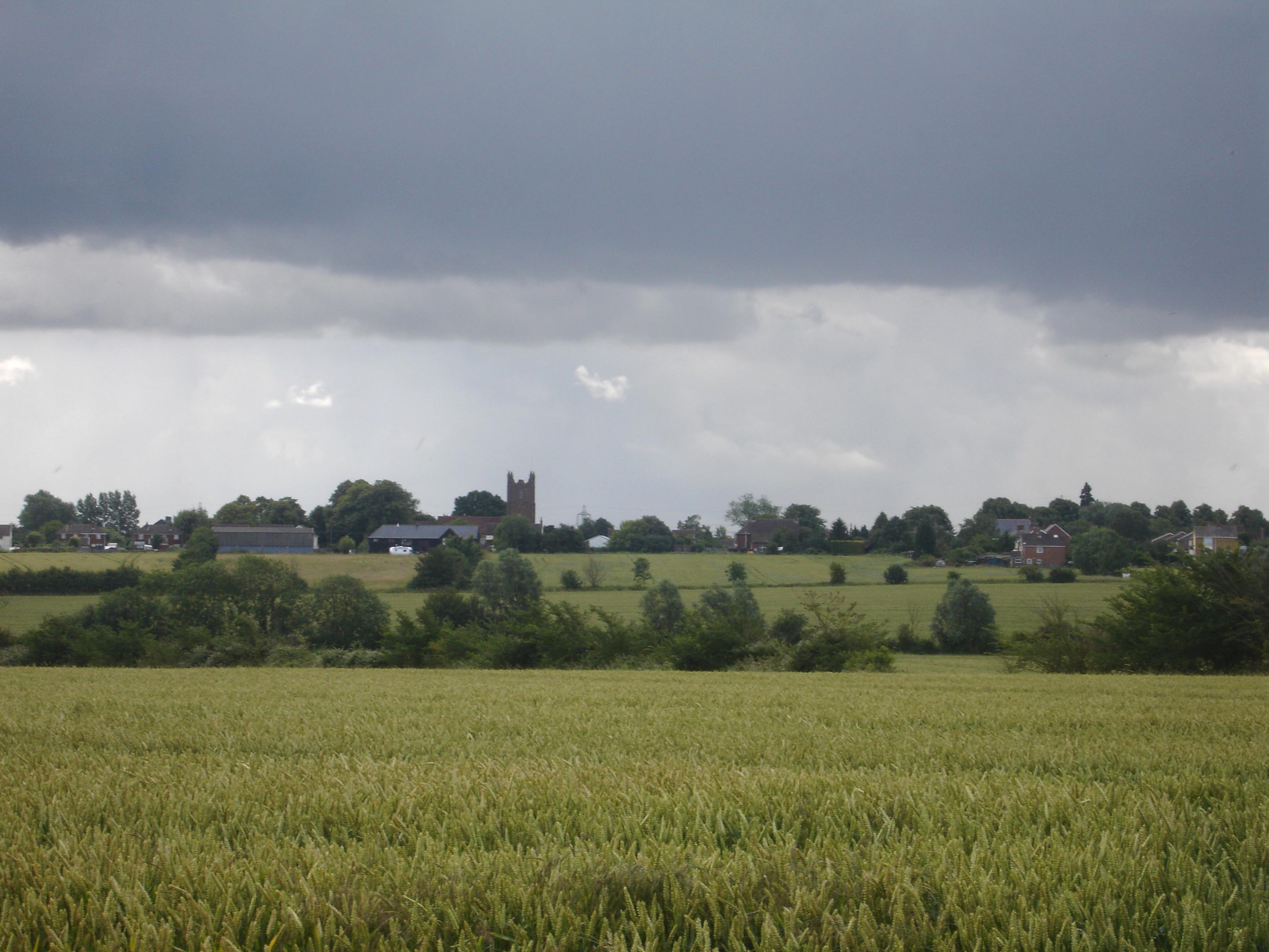
Elm's Wood is a charming forest located in the county of Essex, England. Spanning approximately 100 acres, this woodland is known for its picturesque beauty and rich biodiversity. It is situated in close proximity to the village of Elmstead Market, making it easily accessible to both locals and tourists.
The wood is primarily composed of mature elm trees, hence its name, but it also features a variety of other tree species, including oak, beech, and birch. The dense canopy created by these towering trees provides a cool and tranquil atmosphere, making it a popular spot for nature enthusiasts and walkers seeking refuge from the hustle and bustle of daily life.
Elm's Wood boasts an impressive array of wildlife, with a diverse range of bird species, such as woodpeckers, owls, and thrushes, making it their home. The forest floor is also teeming with smaller creatures, including squirrels, rabbits, and various insects. It is not uncommon to spot deer grazing peacefully in the clearings, adding to the natural beauty of the surroundings.
The wood is crisscrossed with well-maintained footpaths, allowing visitors to explore the area and enjoy its scenic views. Additionally, there are several picnic spots scattered throughout, providing the perfect setting for a leisurely lunch amidst nature.
Elm's Wood is not only a place of natural beauty but also holds historical significance. It is believed to have been part of an ancient hunting forest, dating back to medieval times. The remnants of old boundaries and ditches can still be seen, adding an air of mystery and intrigue to the woodland.
Overall, Elm's Wood is a hidden gem in Essex, offering a tranquil escape and a chance to connect with nature in a serene and idyllic setting.
If you have any feedback on the listing, please let us know in the comments section below.
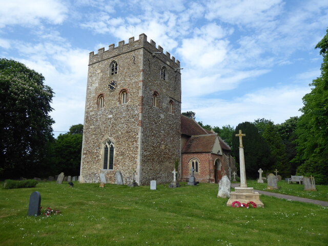
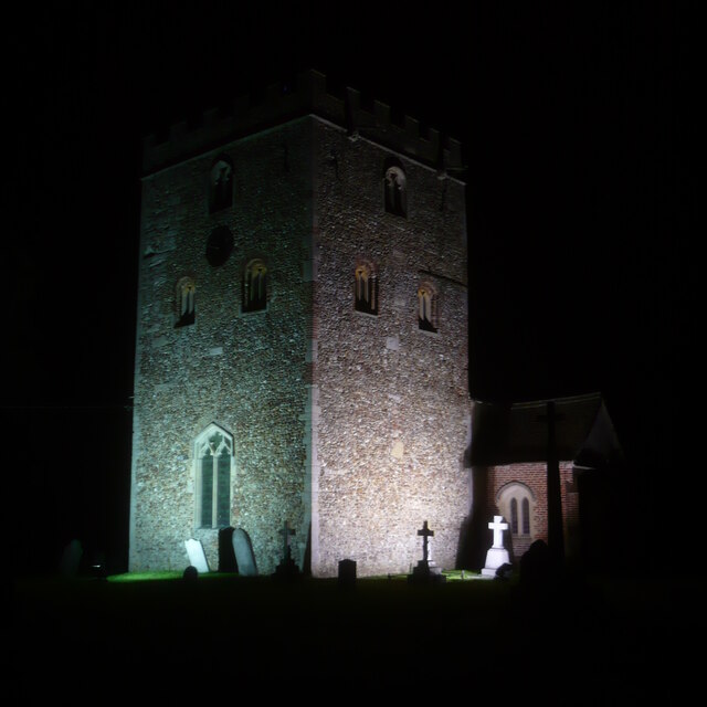
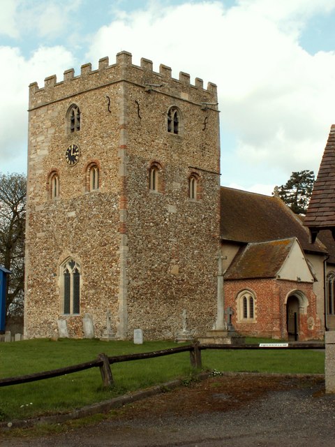
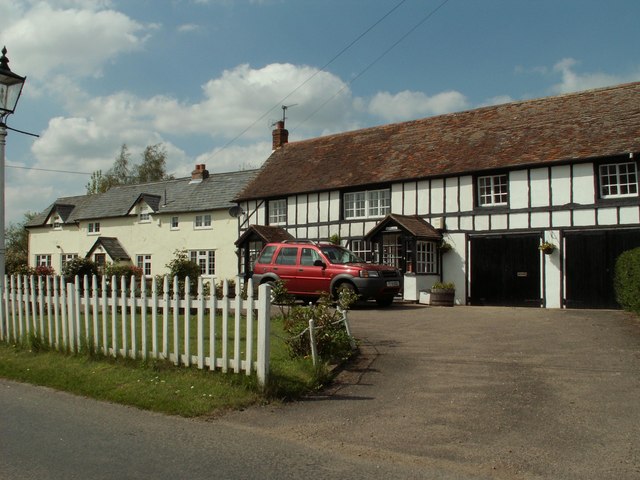
Elm's Wood Images
Images are sourced within 2km of 52.012634/0.50887852 or Grid Reference TL7237. Thanks to Geograph Open Source API. All images are credited.


Elm's Wood is located at Grid Ref: TL7237 (Lat: 52.012634, Lng: 0.50887852)
Administrative County: Essex
District: Braintree
Police Authority: Essex
What 3 Words
///unloaded.mission.crumples. Near Great Yeldham, Essex
Nearby Locations
Related Wikis

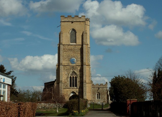
Stambourne
Stambourne is a village and civil parish in the Braintree District in north Essex, England. The civil parish population at the 2011 Census was 409. Stambourne...

Stambourne Hall
Stambourne Hall is a country house within the civil parish of Stambourne, Essex, England. It lies to behind to the northeast of St. Peter & St. Thomas...
Toppesfield
Toppesfield is a village and civil parish in the Braintree district of Essex, England. The village is approximately 19 miles (31 km) north from the county...

Stambourne Green
Stambourne Green is a hamlet in Essex. A 19th century gazetteer describes it as being near another hamlet, Westley End, which no longer appears to exist...
Gainsford End
Gainsford End is a hamlet in the civil parish of Toppesfield, and the Braintree district of Essex, England. The hamlet is 1.5 miles (2.4 km) southwest...
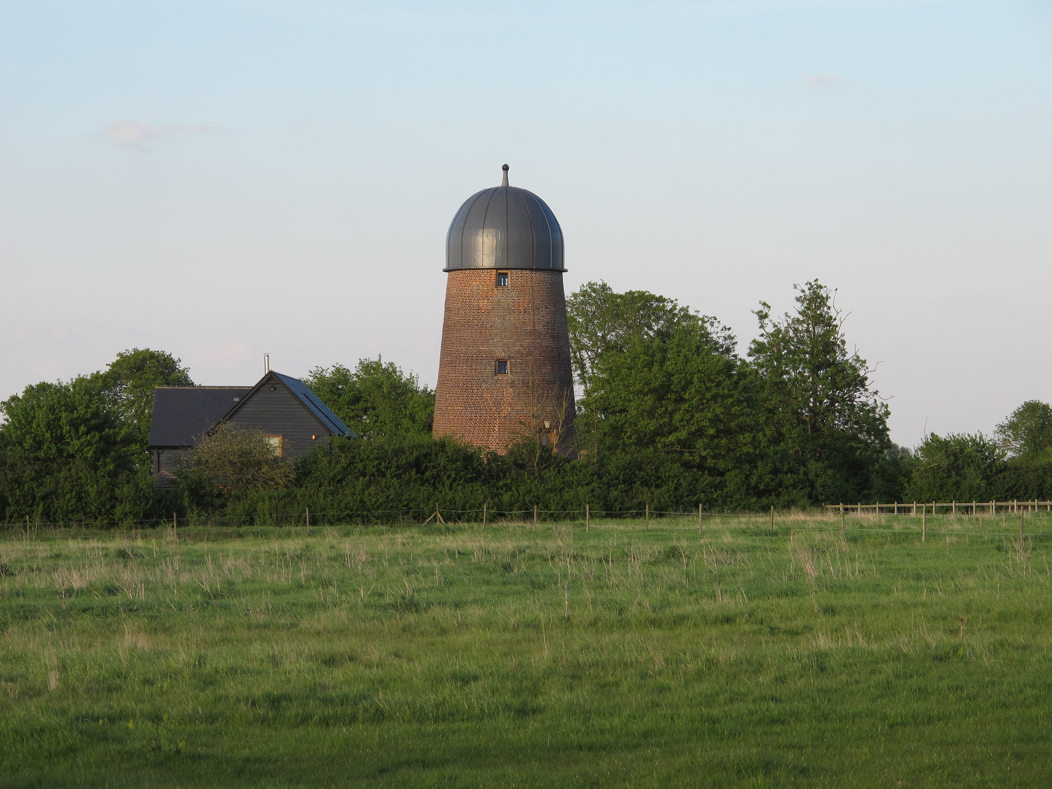
Gainsford End Mill, Toppesfield
Gainsford End Mill is a grade II listed tower mill at Gainsford End, near Toppesfield, Essex, England, which has been converted to a residence. == History... ==
Ridgewell
Ridgewell is a village and civil parish in the Braintree district of Essex, England, about six miles from Haverhill on the main road between Haverhill...
Whitley railway station
Whitley railway station was a temporary station on the former Colne Valley and Halstead Railway, three-quarters of a mile (1.2 km) to the east of the village...
Have you been to Elm's Wood?
Leave your review of Elm's Wood below (or comments, questions and feedback).