David's Clump
Wood, Forest in Suffolk West Suffolk
England
David's Clump
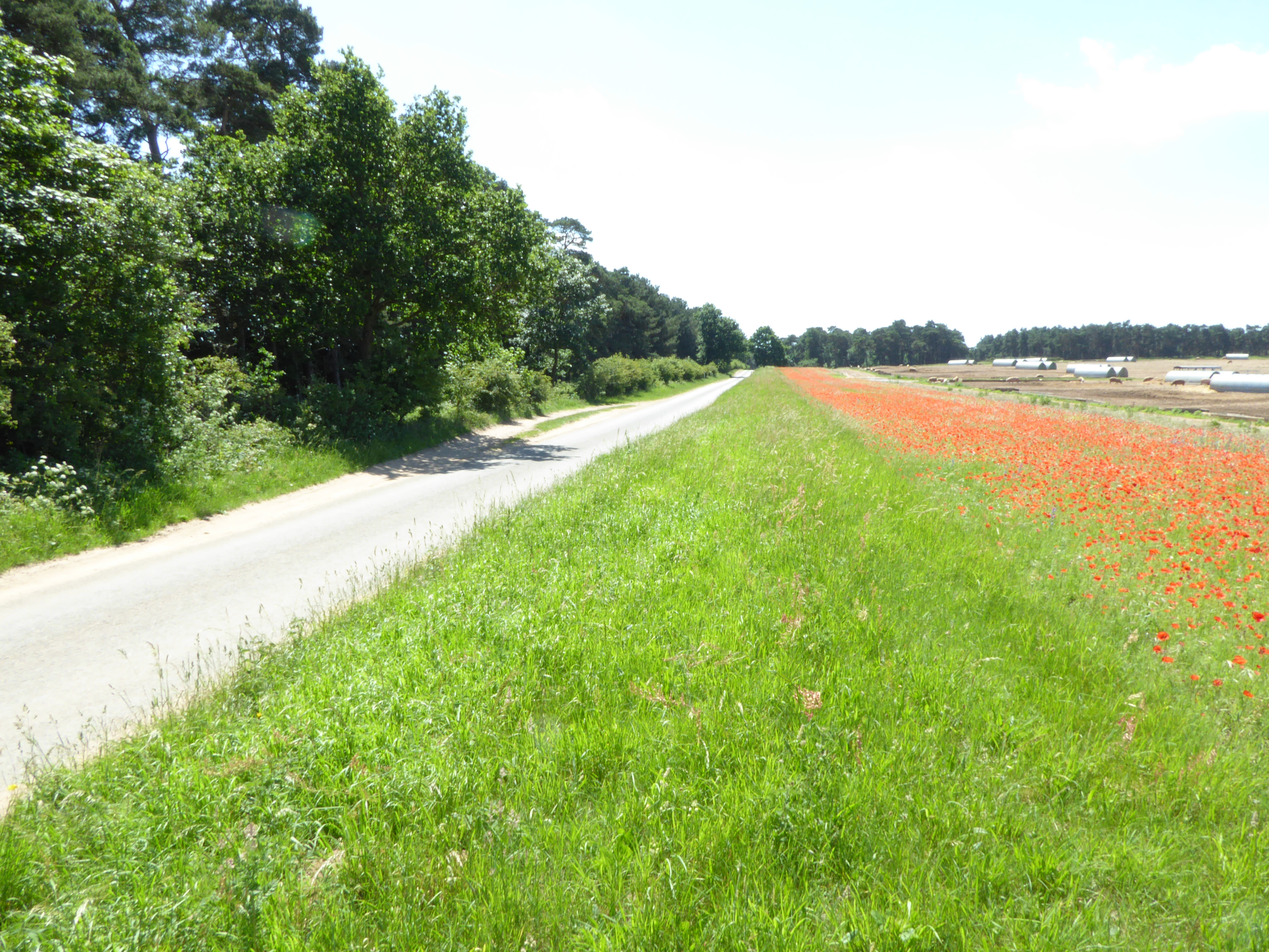
David's Clump is a picturesque woodland located in Suffolk, England. Situated within the larger forest area, it is often referred to as David's Clump Wood or David's Clump Forest. Covering an estimated area of around 10 hectares, the woodland is predominantly composed of native broadleaf trees, including oak, beech, and birch.
The name "David's Clump" originates from an ancient tradition where landowners would designate specific areas of woodland for personal use or recognition. This particular clump is believed to have been named after a previous owner or local figure named David.
The woodland boasts a rich biodiversity, providing a habitat for numerous plant and animal species. The forest floor is adorned with a variety of wildflowers, such as bluebells and primroses, creating a vibrant and colorful display during the spring months. It is also home to a diverse range of wildlife, including deer, squirrels, and various bird species, making it a popular spot for nature enthusiasts and photographers.
David's Clump offers a peaceful and serene environment for visitors to enjoy nature and engage in outdoor activities. The woodland features well-maintained footpaths and trails, allowing walkers, hikers, and cyclists to explore the area at their leisure. Additionally, there are designated picnic areas and benches, providing the perfect setting for a relaxing outdoor lunch or a moment of quiet contemplation.
Overall, David's Clump in Suffolk is a charming woodland that offers a sanctuary for both nature and outdoor enthusiasts, showcasing the beauty of the English countryside.
If you have any feedback on the listing, please let us know in the comments section below.
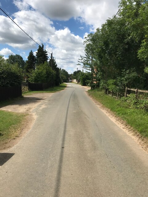
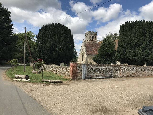
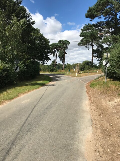
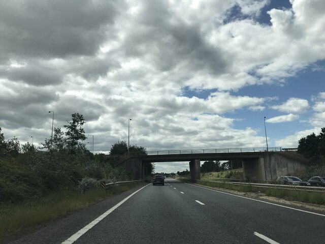
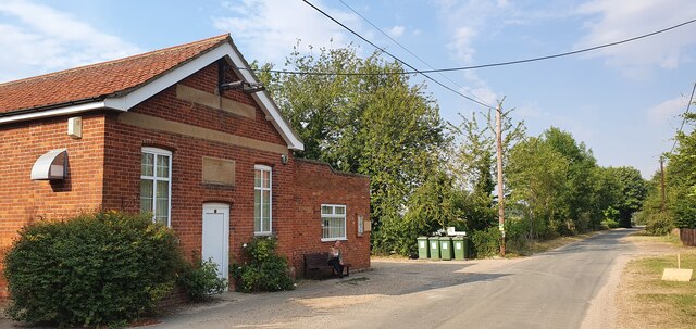
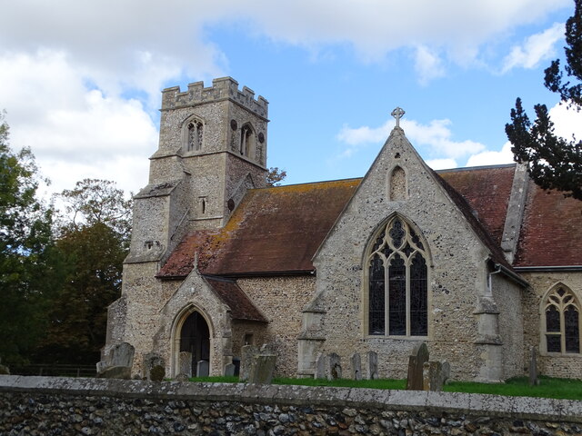
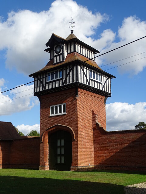
David's Clump Images
Images are sourced within 2km of 52.311916/0.52156265 or Grid Reference TL7171. Thanks to Geograph Open Source API. All images are credited.


David's Clump is located at Grid Ref: TL7171 (Lat: 52.311916, Lng: 0.52156265)
Administrative County: Suffolk
District: West Suffolk
Police Authority: Suffolk
What 3 Words
///wove.carpeted.sculpture. Near Mildenhall, Suffolk
Nearby Locations
Related Wikis

Shi-Tennoji School in UK
Shi-Tennoji School in UK (英国四天王寺学園, Eikoku Shitennōji Gakuen) was a Japanese international secondary school in Herringswell, Suffolk, England, United Kingdom...
Cherry Hill and The Gallops, Barton Mills
Cherry Hill and The Gallops, Barton Mills is a 10.4-hectare (26-acre) biological Site of Special Scientific Interest south of Barton Mills in Suffolk....

Herringswell
Herringswell is a village and civil parish in the West Suffolk district of Suffolk in eastern England. In 2005 it had a population of 190. In 2007 there...

Tuddenham
Tuddenham is a village and civil parish in the West Suffolk district of Suffolk in eastern England. In 2005 it had a population of 450. falling to 423...

Red Lodge, Suffolk
Red Lodge is a village and civil parish situated in rural Suffolk, England, between Mildenhall and Newmarket, and very close to the A11 and A14 roads....
Barton Mills
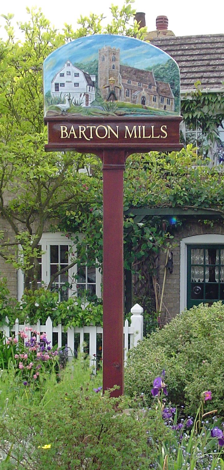
Barton Mills is a village and civil parish in the West Suffolk district of Suffolk, England. The village is on the south bank of the River Lark. According...

Red Lodge Heath
Red Lodge Heath is a 20.8-hectare (51-acre) biological Site of Special Scientific Interest in Red Lodge in Suffolk.Habitats on this site are chalk grassland...

Barton Mills Valley
Barton Mills Valley is a 10.7 hectare Local Nature Reserve in Mildenhall in Suffolk. It is owned and managed by West Suffolk Council. The site is in Breckland...
Nearby Amenities
Located within 500m of 52.311916,0.52156265Have you been to David's Clump?
Leave your review of David's Clump below (or comments, questions and feedback).