Fisher's Wood
Wood, Forest in Norfolk King's Lynn and West Norfolk
England
Fisher's Wood
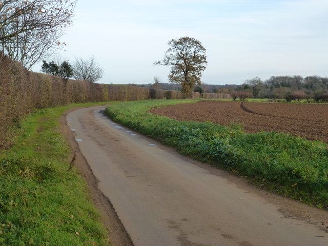
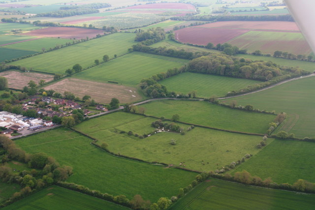
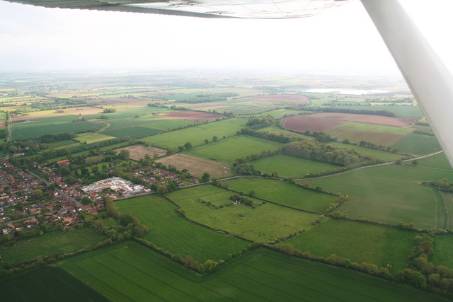
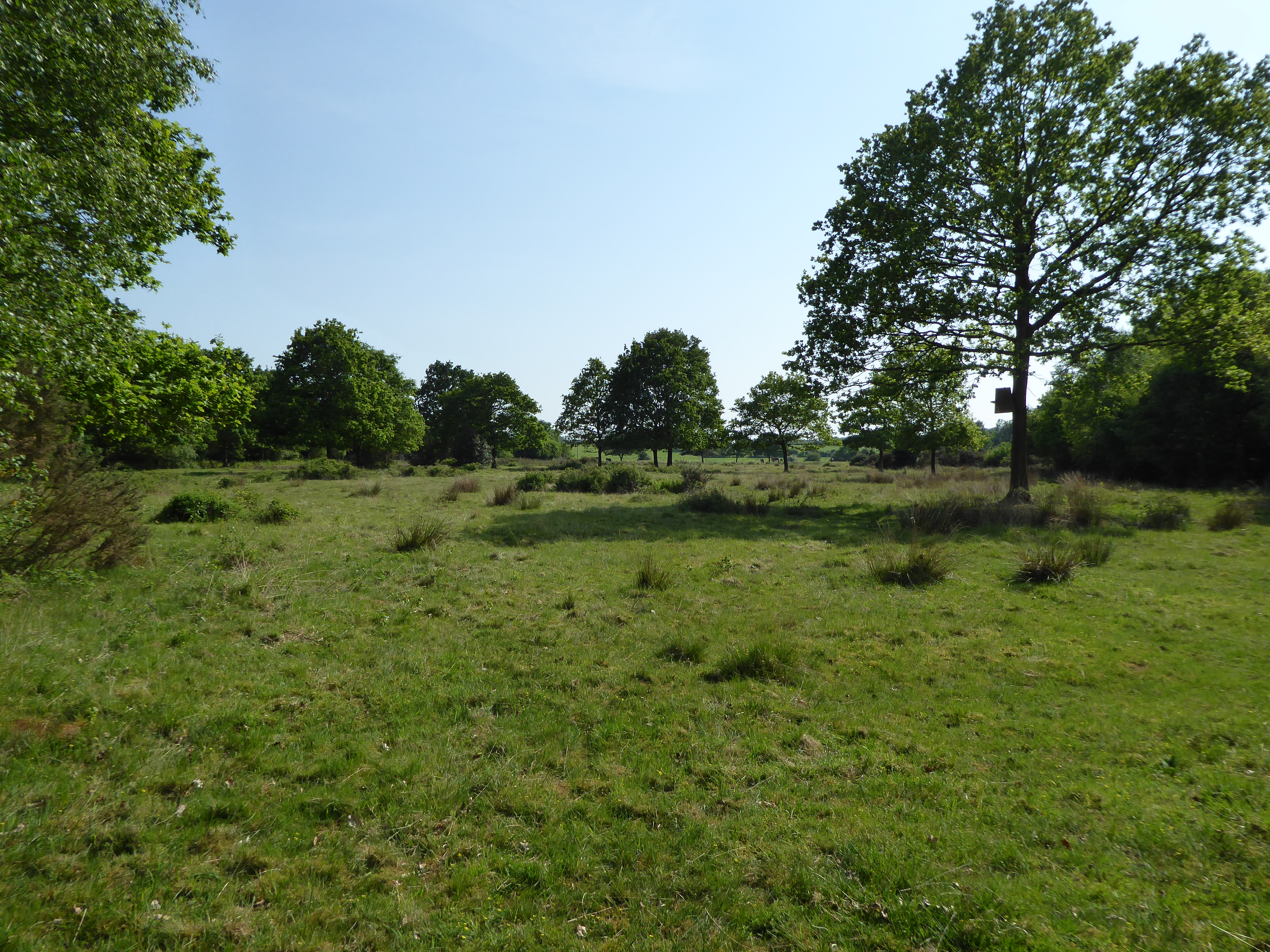
Fisher's Wood is a picturesque woodland located in Norfolk, England. Covering an area of approximately 50 acres, the wood is known for its diverse range of trees and wildlife. It is situated near the village of Sheringham, just a short distance from the North Norfolk coastline.
The wood is predominantly composed of native broadleaf trees, including oak, beech, and birch, which create a stunning canopy overhead. The forest floor is rich in wildflowers, such as bluebells and primroses, adding a burst of color to the woodland during springtime.
Fisher's Wood offers a tranquil and peaceful environment, making it a popular spot for nature lovers and walkers. Numerous footpaths wind their way through the wood, allowing visitors to explore its beauty at their own pace. Along the paths, there are benches strategically placed for those who wish to sit and admire the surroundings.
The wood is also home to a variety of wildlife, including squirrels, deer, and a wide range of bird species. Birdwatchers can often spot woodpeckers, nuthatches, and jays among the treetops. The wood's diverse ecosystem provides habitat for many rare and endangered species as well.
Managed by the local authorities, Fisher's Wood has been well-preserved and is regularly maintained to ensure its natural beauty is retained. It is open to the public throughout the year, with no admission fees. The wood also hosts educational events and guided walks to promote awareness and appreciation of the area's natural heritage.
Overall, Fisher's Wood offers a captivating experience for visitors, combining the serenity of a woodland setting with the wonders of nature.
If you have any feedback on the listing, please let us know in the comments section below.
Fisher's Wood Images
Images are sourced within 2km of 52.750634/0.54677134 or Grid Reference TF7120. Thanks to Geograph Open Source API. All images are credited.


Fisher's Wood is located at Grid Ref: TF7120 (Lat: 52.750634, Lng: 0.54677134)
Administrative County: Norfolk
District: King's Lynn and West Norfolk
Police Authority: Norfolk
What 3 Words
///flash.device.waking. Near Grimston, Norfolk
Nearby Locations
Related Wikis

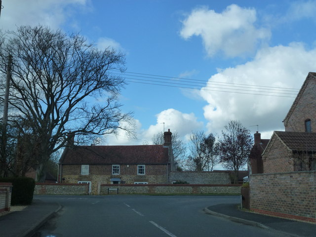
Gayton, Norfolk
Gayton is a village and civil parish in the English county of Norfolk. The village is located 6 miles (9.7 km) east of King's Lynn and 32 miles (51 km...
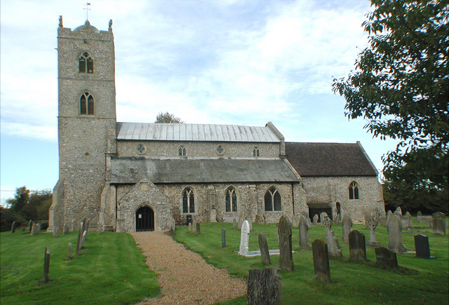
St Nicholas Church, Gayton
St Nicholas Church is a Church of England church located in Gayton, Norfolk. == Overview == The construction of the church building was completed in 1604...
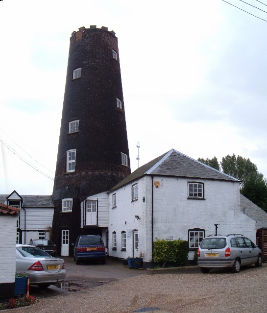
Gayton Windmill, Norfolk
For the Gayton Windmill now in Merseyside see Gayton Windmill, Cheshire Gayton Mill is a Grade II listed tower mill at Gayton, Norfolk, England which...
Leziate, Sugar and Derby Fens
Leziate, Sugar and Derby Fens is an 87.9-hectare (217-acre) biological Site of Special Scientific Interest east of King's Lynn in Norfolk.These fens...

Pott Row
Pott Row is an expanding village near King's Lynn, Norfolk. It is the western part of the civil and ecclesiastical Parish of Grimston. Pott Row and neighbouring...

Grimston, Norfolk
Grimston is a village and civil parish in the English county of Norfolk, approximately 6 miles north-east of King's Lynn. It covers an area of 18.08 km2...

Gayton Thorpe Roman Villa
Gayton Thorpe Roman Villa is the site of a Roman villa, near Gayton Thorpe and about 5 miles (8 km) east of King's Lynn, in Norfolk, England. It was discovered...
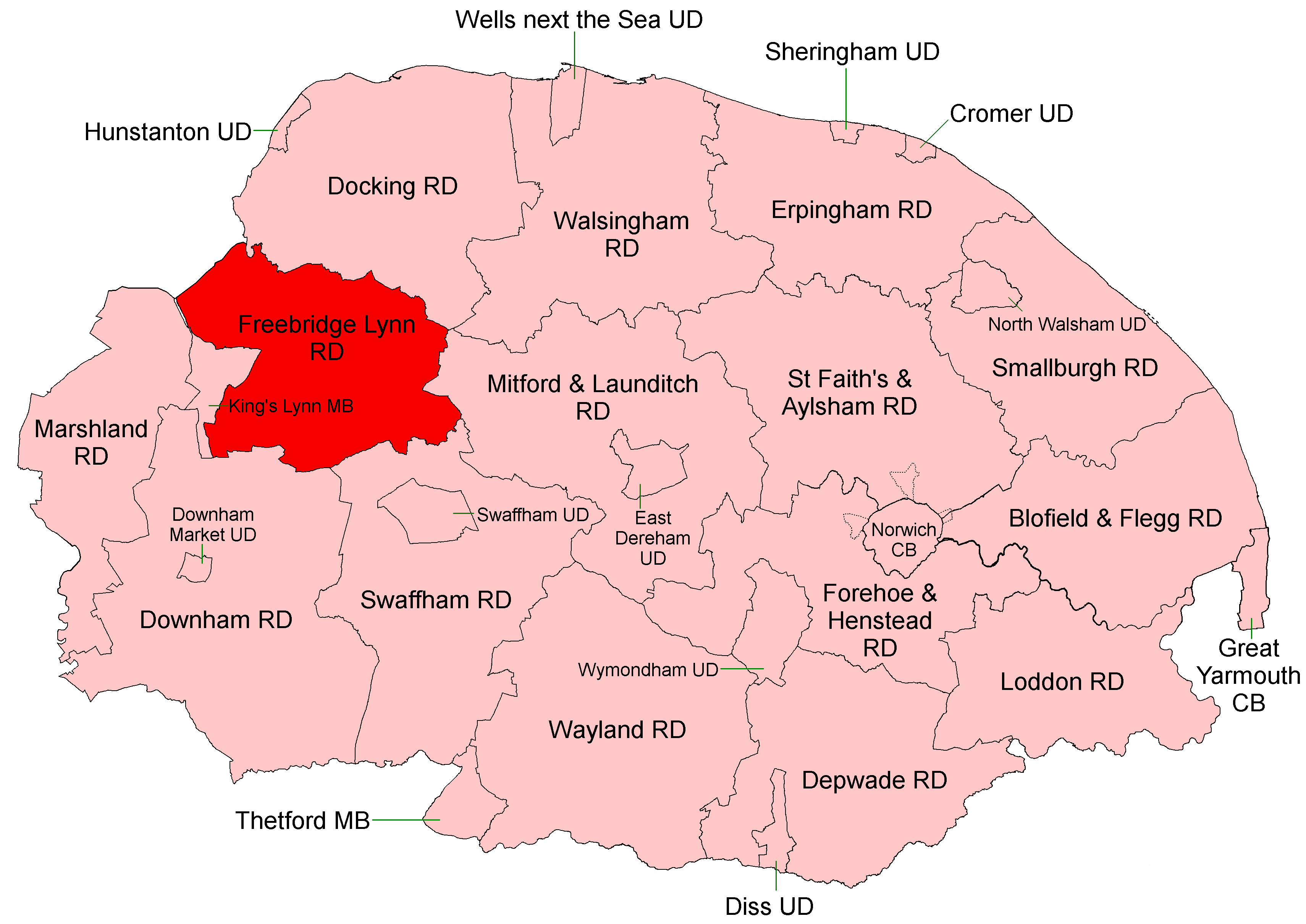
Freebridge Lynn Rural District
Freebridge Lynn Rural District was a rural district in Norfolk, England from 1894 to 1974.It was formed under the Local Government Act 1894 based on the...
Have you been to Fisher's Wood?
Leave your review of Fisher's Wood below (or comments, questions and feedback).