Bungalow Belt
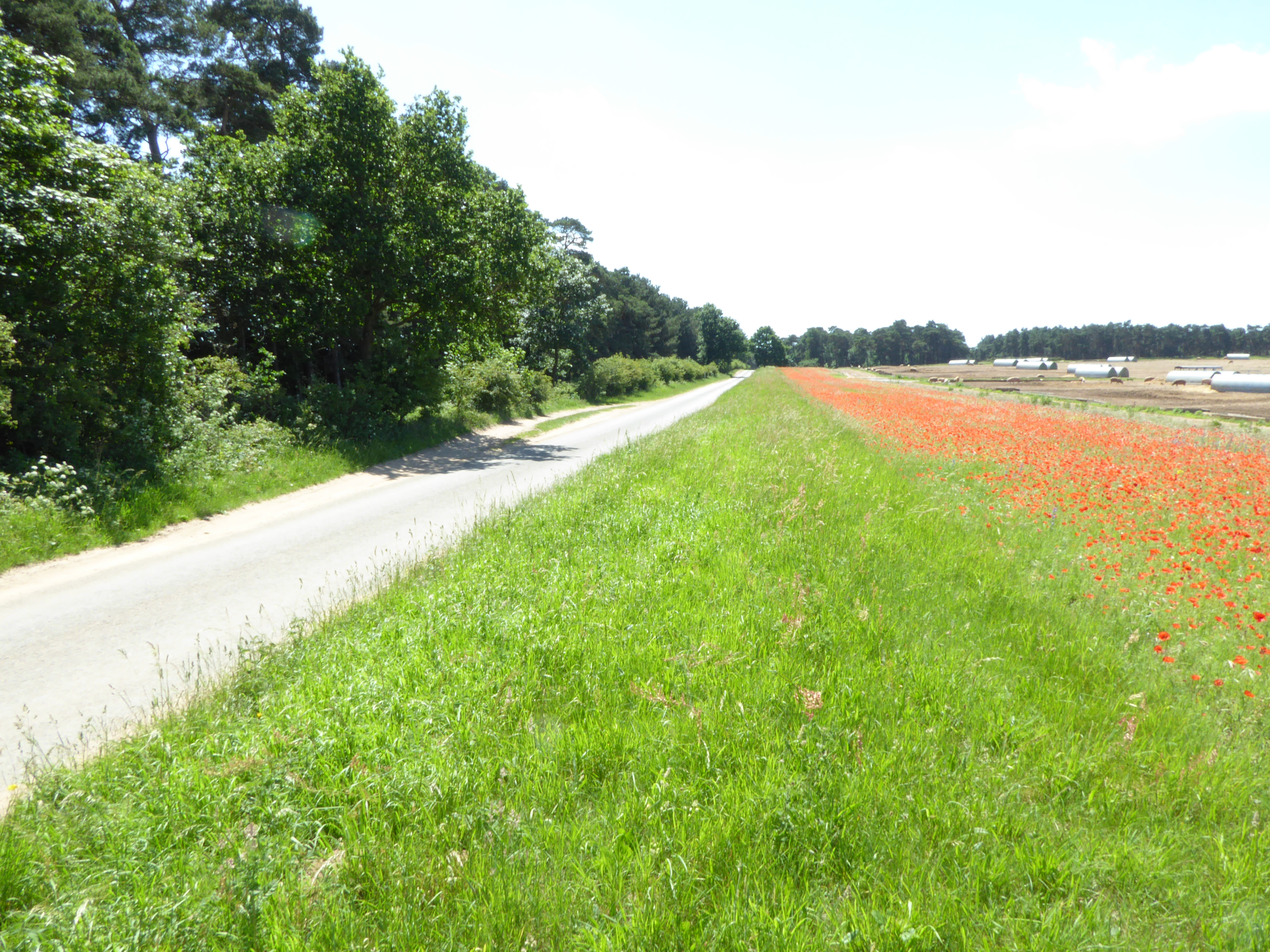
Wood, Forest in Suffolk West Suffolk
England
Bungalow Belt
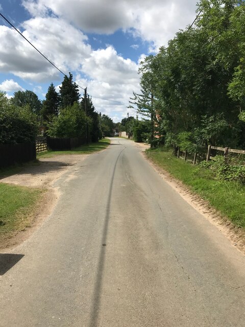
Bungalow Belt, Suffolk (Wood, Forest) is a residential area located in Suffolk County, England. It is known for its abundance of bungalow-style houses, which are single-story homes typically characterized by their low-pitched roofs and spacious layouts. The name "Bungalow Belt" derives from the concentration of these types of houses in the area.
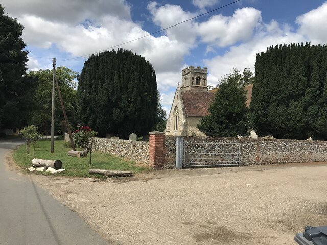
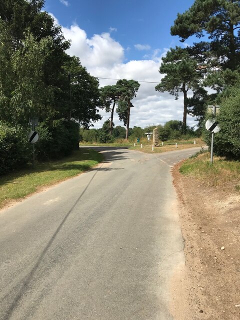
Situated within a woodland and forested region, Bungalow Belt offers residents a tranquil and scenic environment. The abundance of trees and greenery provides a natural and peaceful atmosphere, making it an attractive place to live for those seeking a quieter lifestyle away from the busyness of urban areas.
The properties in Bungalow Belt are mainly detached and semi-detached bungalows, offering residents a sense of privacy and space. Many of these houses have well-maintained gardens, allowing residents to enjoy outdoor activities and gardening.
The area is well-connected to nearby towns and cities, with good transport links and access to amenities. Residents of Bungalow Belt can enjoy the conveniences of urban living while still benefiting from the peacefulness of a rural setting.
Bungalow Belt, Suffolk (Wood, Forest) is a sought-after area for those looking for a peaceful and scenic location to call home. With its abundance of bungalow-style houses and natural surroundings, it provides residents with a comfortable and idyllic lifestyle.
If you have any feedback on the listing, please let us know in the comments section below.
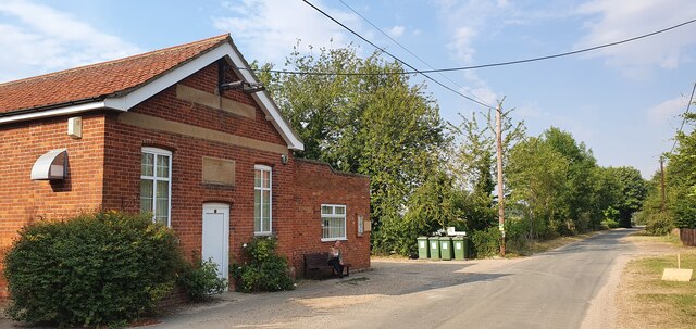
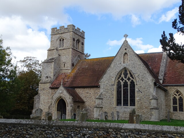
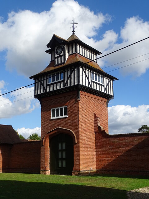
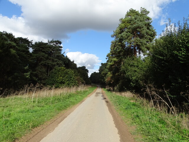
Bungalow Belt Images
Images are sourced within 2km of 52.311251/0.5105505 or Grid Reference TL7171. Thanks to Geograph Open Source API. All images are credited.


Bungalow Belt is located at Grid Ref: TL7171 (Lat: 52.311251, Lng: 0.5105505)
Administrative County: Suffolk
District: West Suffolk
Police Authority: Suffolk
What 3 Words
///sorters.quaking.sardine. Near Mildenhall, Suffolk
Nearby Locations
Related Wikis

Shi-Tennoji School in UK
Shi-Tennoji School in UK (英国四天王寺学園, Eikoku Shitennōji Gakuen) was a Japanese international secondary school in Herringswell, Suffolk, England, United Kingdom...

Herringswell
Herringswell is a village and civil parish in the West Suffolk district of Suffolk in eastern England. In 2005 it had a population of 190. In 2007 there...
Cherry Hill and The Gallops, Barton Mills
Cherry Hill and The Gallops, Barton Mills is a 10.4-hectare (26-acre) biological Site of Special Scientific Interest south of Barton Mills in Suffolk....

Red Lodge, Suffolk
Red Lodge is a village and civil parish situated in rural Suffolk, England, between Mildenhall and Newmarket, and very close to the A11 and A14 roads....

Red Lodge Heath
Red Lodge Heath is a 20.8-hectare (51-acre) biological Site of Special Scientific Interest in Red Lodge in Suffolk.Habitats on this site are chalk grassland...

Tuddenham
Tuddenham is a village and civil parish in the West Suffolk district of Suffolk in eastern England. In 2005 it had a population of 450. falling to 423...
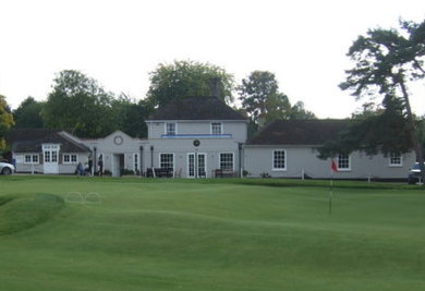
Royal Worlington and Newmarket Golf Club
The Royal Worlington and Newmarket Golf Club is a golf club located near Bury St Edmunds in Suffolk, England. The nine-hole layout is consistently ranked...
Cambridge University Golf Club
The Cambridge University Golf Club is the golf club for the University of Cambridge, England. It comprises the Blues team, the second-team Cambridge University...
Nearby Amenities
Located within 500m of 52.311251,0.5105505Have you been to Bungalow Belt?
Leave your review of Bungalow Belt below (or comments, questions and feedback).