Blythhedges Wood
Wood, Forest in Essex Chelmsford
England
Blythhedges Wood

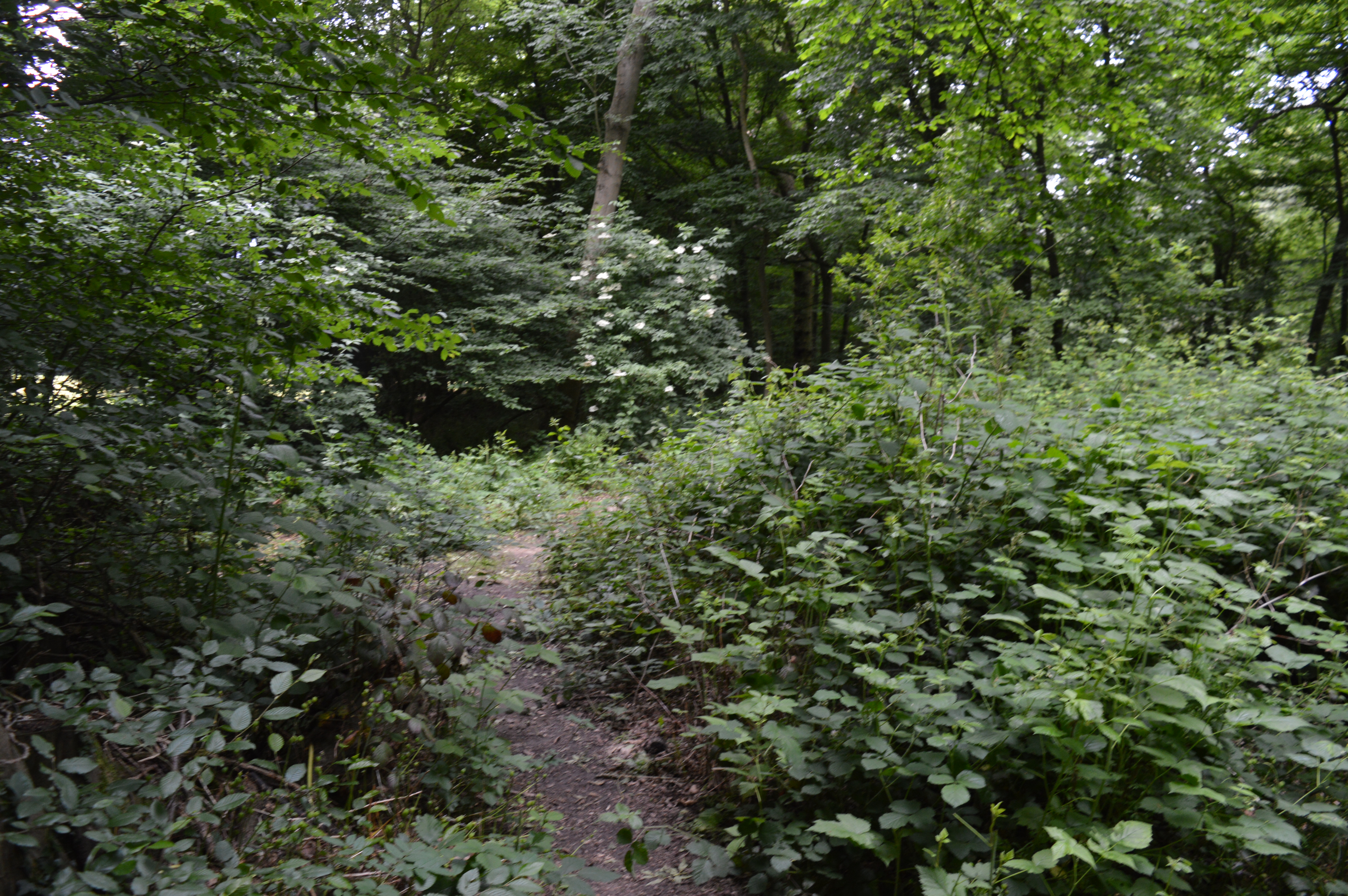
Blythhedges Wood, located in Essex, England, is a picturesque and vibrant woodland that covers an area of approximately 50 acres. This woodland, also known as Blythhedges Forest, is situated on the outskirts of the village of Blythhedges and is a popular destination for nature enthusiasts and outdoor lovers.
Blythhedges Wood is characterized by its diverse range of tree species, including oak, beech, birch, and hazel, which create a dense and enchanting canopy. The wood is known for its rich biodiversity, providing a habitat for a variety of flora and fauna. Visitors can expect to encounter numerous bird species, such as woodpeckers, owls, and finches, as well as small mammals like squirrels, hedgehogs, and rabbits.
The woodland offers a network of well-maintained footpaths and trails, making it an ideal location for leisurely walks, hiking, and cycling. The tranquil atmosphere and stunning natural surroundings make it a popular spot for nature walks, picnics, and photography. In the spring, the forest bursts into a riot of colors with vibrant wildflowers, while the autumn brings a spectacular display of golden foliage.
Blythhedges Wood is also home to a diverse range of plant life, including bluebells, primroses, and wild garlic. The forest floor is carpeted with ferns and mosses, adding to its magical charm.
Overall, Blythhedges Wood is a hidden gem in Essex, offering a peaceful escape from the hustle and bustle of daily life. Its natural beauty, wildlife, and serene ambiance make it a haven for those seeking a connection with nature.
If you have any feedback on the listing, please let us know in the comments section below.
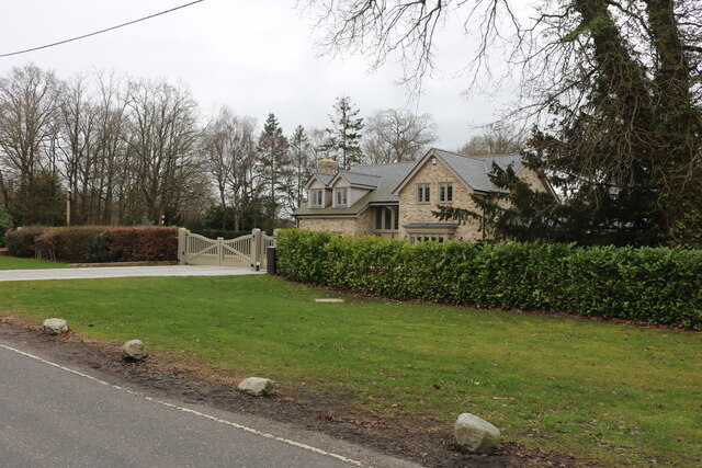
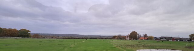
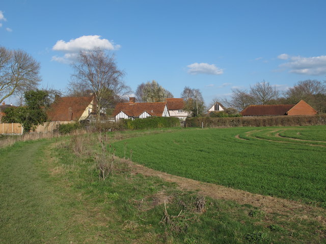
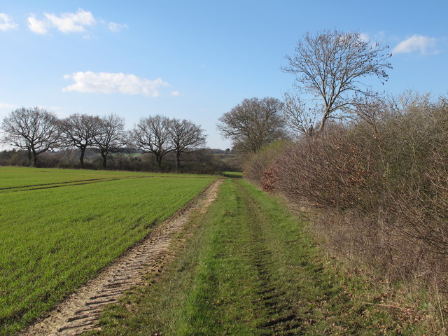
Blythhedges Wood Images
Images are sourced within 2km of 51.664031/0.47494777 or Grid Reference TQ7199. Thanks to Geograph Open Source API. All images are credited.


Blythhedges Wood is located at Grid Ref: TQ7199 (Lat: 51.664031, Lng: 0.47494777)
Administrative County: Essex
District: Chelmsford
Police Authority: Essex
What 3 Words
///leads.dispenser.maddening. Near Stock, Essex
Nearby Locations
Related Wikis
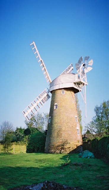
Stock Windmill
Stock Windmill is a grade II* listed tower mill at Stock, Essex, which has been restored. == History == Stock Windmill was built circa 1816 joining an...

West Hanningfield
West Hanningfield is a small village and civil parish in south Essex, England. It is located approximately 5 mi (8.0 km) south-south-east of the county...

Hanningfield Reservoir
Hanningfield Reservoir is a large 25,500-million-litre (900,000,000 cu ft) pumped storage reservoir located between Billericay and Chelmsford in Essex...
Stock, Essex
Stock is a village and civil parish in south Essex, England. It is about 6 miles (10 km) south of Chelmsford, the county town. The village is in the borough...
Baddow Park
Baddow Park is a settlement in Essex, England. It is near the A12 road and is 3 kilometres (2 mi) south of the town of Chelmsford. == External links... ==

Downham, Essex
Downham is a small village and former civil parish, now in the parish of South Hanningfield, in the City of Chelmsford district, Essex, England. It is...
Crowsheath Wood
Crowsheath Wood (or Thrift Wood) is an 8.1-hectare (20-acre) nature reserve in Downham, between Billericay and South Woodham Ferrers in Essex. It is managed...

Ramsden Heath
Ramsden Heath is a village in Essex in the east of England. It is located approximately 8 mi (13 km) south of the county town of Chelmsford; the closest...
Nearby Amenities
Located within 500m of 51.664031,0.47494777Have you been to Blythhedges Wood?
Leave your review of Blythhedges Wood below (or comments, questions and feedback).