Blythhedges Spring Wood
Wood, Forest in Essex Chelmsford
England
Blythhedges Spring Wood

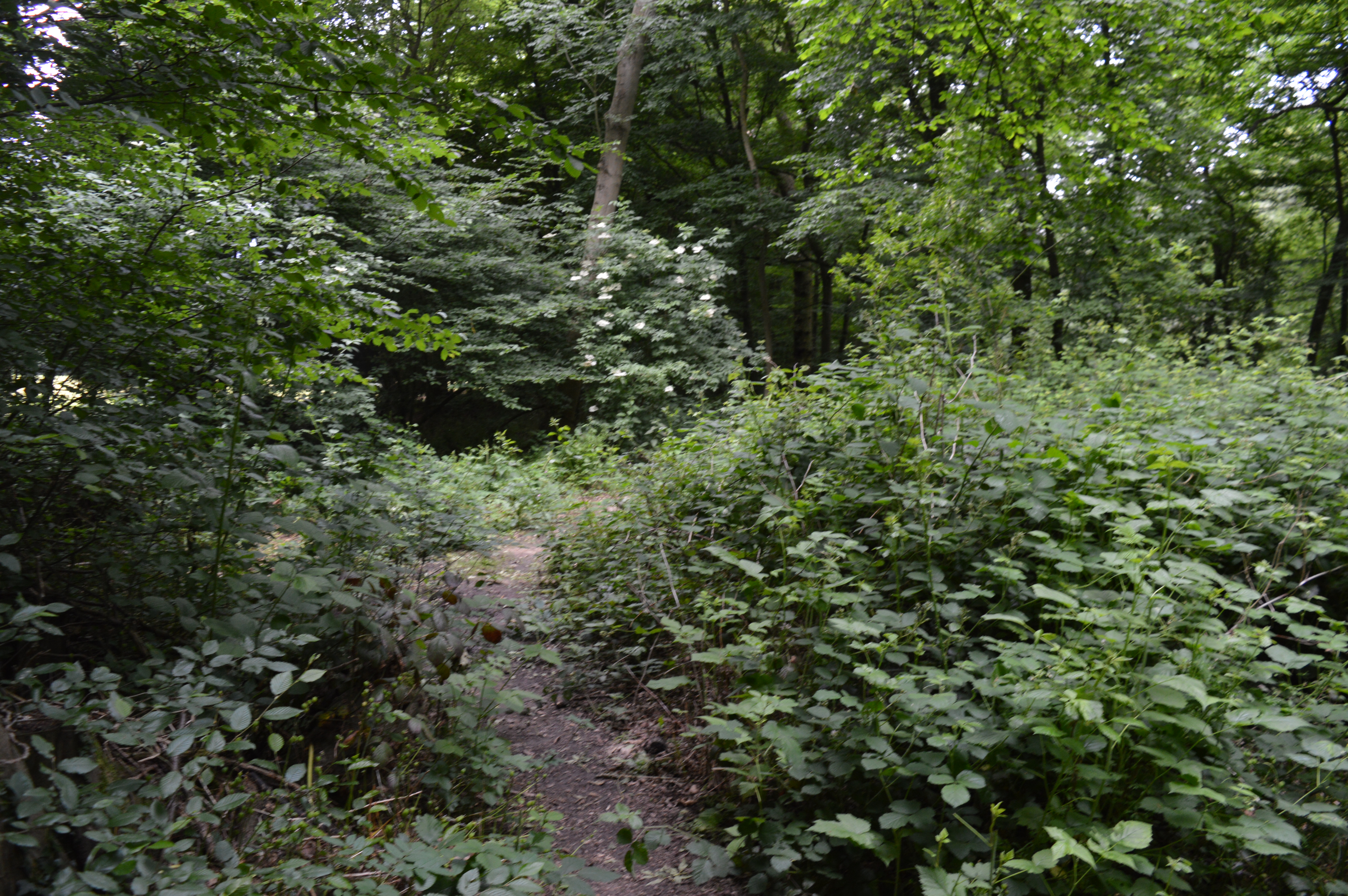
Blythhedges Spring Wood is a picturesque woodland located in the county of Essex, England. Covering an area of approximately 50 acres, it is a prominent feature of the local landscape and a popular destination for nature enthusiasts and outdoor enthusiasts alike.
The woodland is characterized by a diverse range of tree species, including oak, birch, beech, and ash. These trees create a dense canopy that provides shade and shelter for a variety of wildlife, from birds and small mammals to insects and fungi. The forest floor is carpeted with a lush undergrowth of ferns, mosses, and wildflowers, adding to the beauty and biodiversity of the area.
Blythhedges Spring Wood is crisscrossed by a network of walking trails, allowing visitors to explore its natural wonders at their own pace. The trails wind through the woodland, offering glimpses of babbling brooks, hidden glades, and secluded ponds. Along the way, hikers may encounter wildlife such as deer, foxes, and squirrels, as well as rare bird species that nest within the wood.
The woodland is also home to several ancient features, including remnants of medieval settlements and the remains of a Roman road. These historical elements add a sense of intrigue and cultural significance to Blythhedges Spring Wood, making it an ideal destination for those interested in both natural and human history.
Overall, Blythhedges Spring Wood is a tranquil and enchanting woodland that offers both beauty and biodiversity. Its combination of natural features, walking trails, and historical significance makes it a must-visit destination for anyone seeking a peaceful and immersive experience in the heart of Essex's countryside.
If you have any feedback on the listing, please let us know in the comments section below.
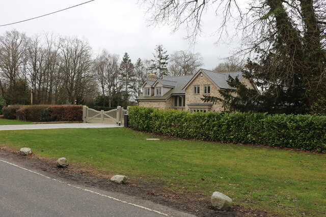
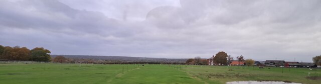
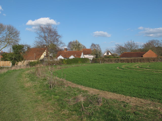
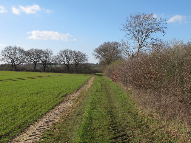
Blythhedges Spring Wood Images
Images are sourced within 2km of 51.666123/0.48067301 or Grid Reference TQ7199. Thanks to Geograph Open Source API. All images are credited.


Blythhedges Spring Wood is located at Grid Ref: TQ7199 (Lat: 51.666123, Lng: 0.48067301)
Administrative County: Essex
District: Chelmsford
Police Authority: Essex
What 3 Words
///supple.handwriting.freezers. Near Stock, Essex
Nearby Locations
Related Wikis

West Hanningfield
West Hanningfield is a small village and civil parish in south Essex, England. It is located approximately 5 mi (8.0 km) south-south-east of the county...
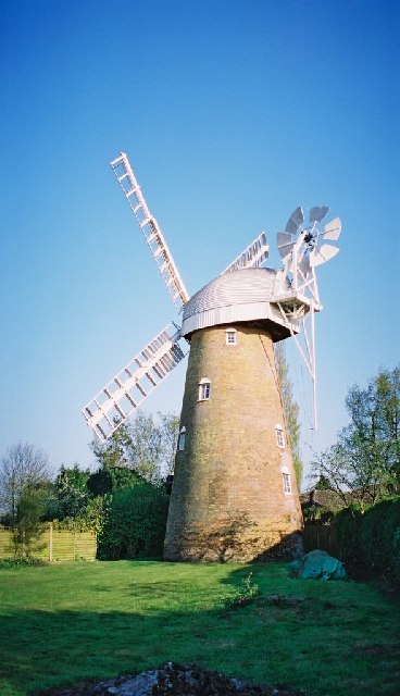
Stock Windmill
Stock Windmill is a grade II* listed tower mill at Stock, Essex, which has been restored. == History == Stock Windmill was built circa 1816 joining an...

Hanningfield Reservoir
Hanningfield Reservoir is a large 25,500-million-litre (900,000,000 cu ft) pumped storage reservoir located between Billericay and Chelmsford in Essex...
Stock, Essex
Stock is a village and civil parish in south Essex, England. It is about 6 miles (10 km) south of Chelmsford, the county town. The village is in the borough...
Baddow Park
Baddow Park is a settlement in Essex, England. It is near the A12 road and is 3 kilometres (2 mi) south of the town of Chelmsford. == External links... ==
Crowsheath Wood
Crowsheath Wood (or Thrift Wood) is an 8.1-hectare (20-acre) nature reserve in Downham, between Billericay and South Woodham Ferrers in Essex. It is managed...

Downham, Essex
Downham is a small village and former civil parish, now in the parish of South Hanningfield, in the City of Chelmsford district, Essex, England. It is...
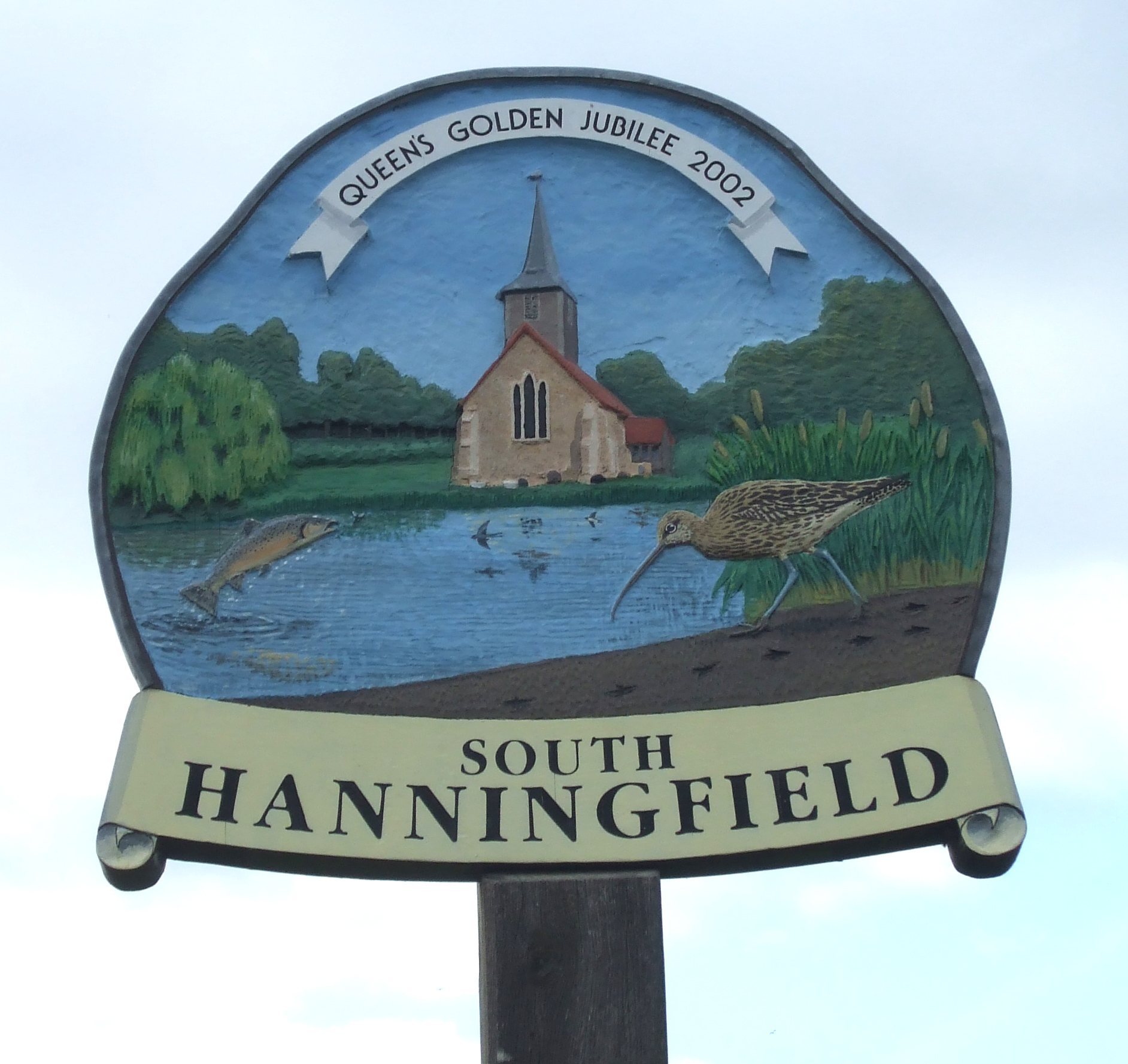
South Hanningfield
South Hanningfield is a small village and civil parish in the Chelmsford district of Essex, England. The village is located on the south bank of the Hanningfield...
Nearby Amenities
Located within 500m of 51.666123,0.48067301Have you been to Blythhedges Spring Wood?
Leave your review of Blythhedges Spring Wood below (or comments, questions and feedback).