Chalkhill Belt
Wood, Forest in Suffolk West Suffolk
England
Chalkhill Belt
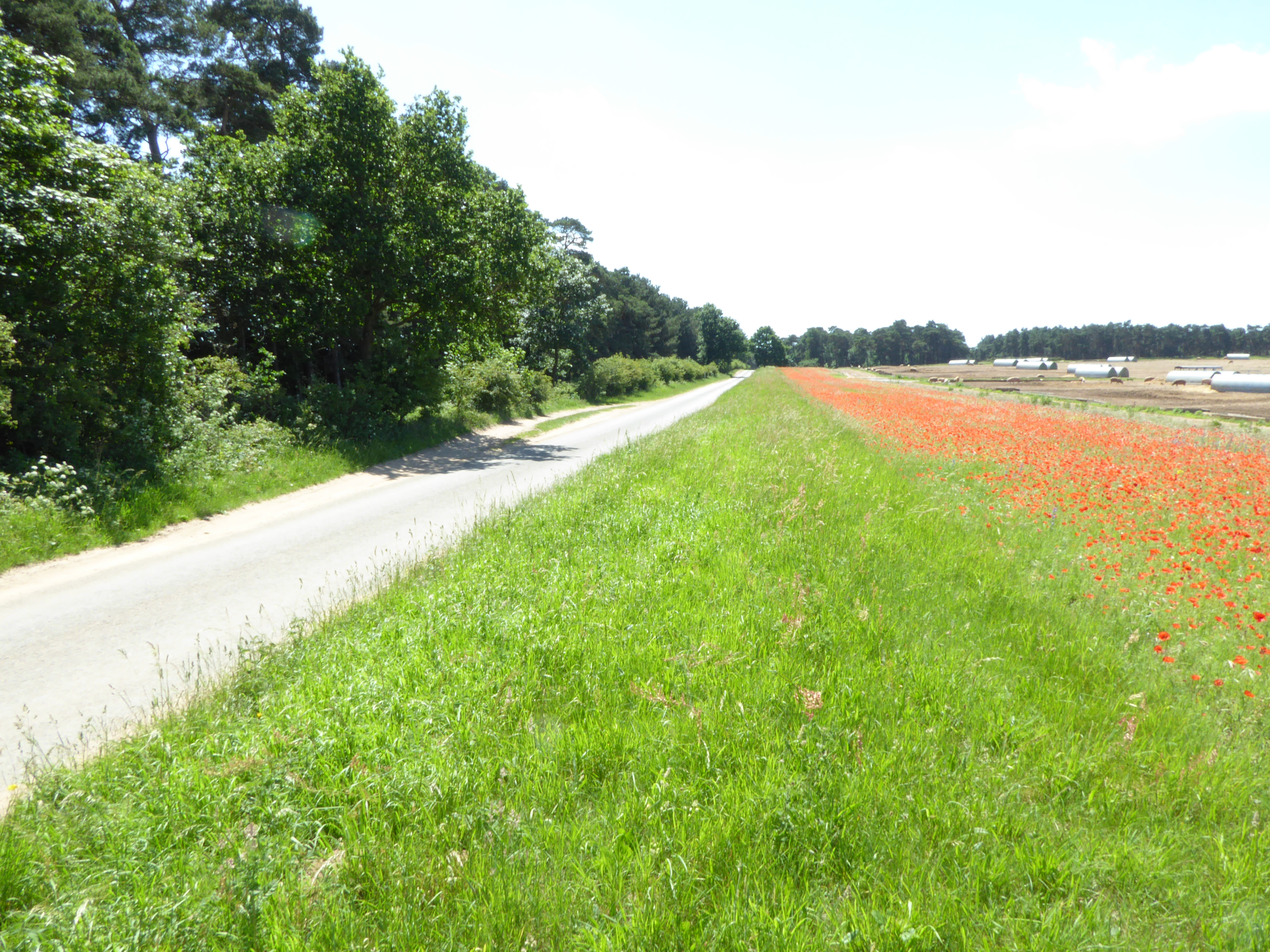
The Chalkhill Belt, located in Suffolk, England, is a remarkable woodland area known for its unique and diverse ecosystem. Spanning approximately 600 acres, this ancient forest consists predominantly of chalk grassland, interspersed with patches of woodland.
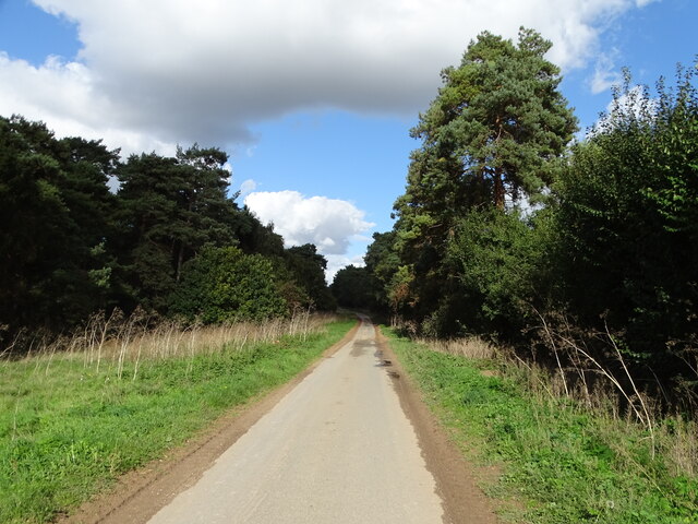
The chalk grassland, which is the dominant habitat in the area, is characterized by its rich and fertile soil composed of chalk and flint. This type of soil provides ideal conditions for a variety of plant species to thrive, including wildflowers such as orchids, cowslips, and harebells. These vibrant flowers create a picturesque landscape, attracting numerous insects, butterflies, and bees.
The woodland areas within the Chalkhill Belt are primarily composed of beech and oak trees, creating a dense canopy that shades the forest floor. This environment supports a wide range of flora and fauna, with species such as bluebells, primroses, and wood anemones carpeting the ground during springtime. The woodland is also home to a variety of bird species, including woodpeckers, owls, and warblers, making it a popular spot for birdwatchers.
The Chalkhill Belt is not only rich in biodiversity but also holds historical significance. The area has ancient archaeological remains such as barrows, which are burial mounds dating back thousands of years. These archaeological features add to the area's charm and attract those interested in history and archaeology.
Overall, the Chalkhill Belt in Suffolk is a natural treasure, offering visitors a chance to immerse themselves in the beauty of its unique woodlands and grasslands, while also providing a glimpse into the region's rich history.
If you have any feedback on the listing, please let us know in the comments section below.
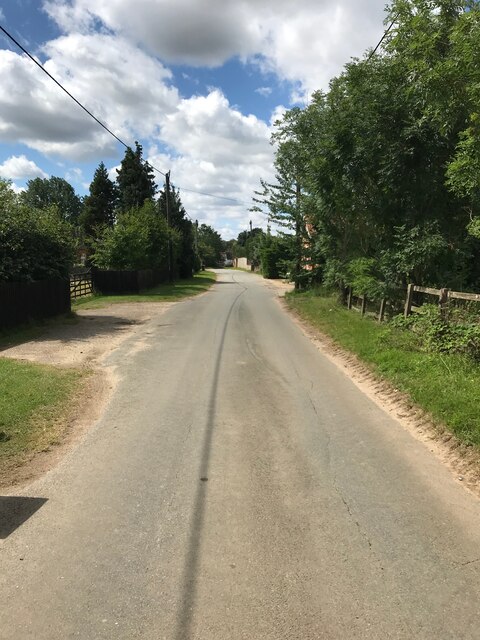
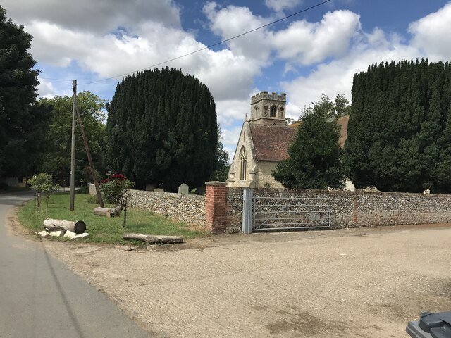
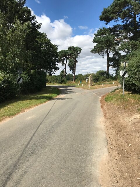
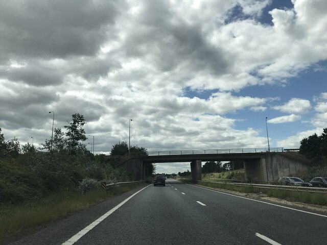
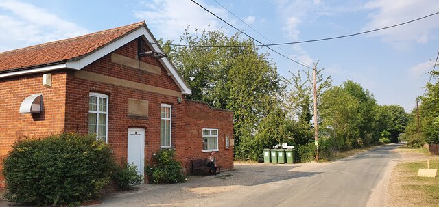
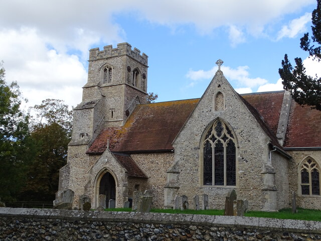
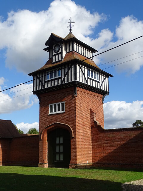
Chalkhill Belt Images
Images are sourced within 2km of 52.317229/0.50978843 or Grid Reference TL7171. Thanks to Geograph Open Source API. All images are credited.


Chalkhill Belt is located at Grid Ref: TL7171 (Lat: 52.317229, Lng: 0.50978843)
Administrative County: Suffolk
District: West Suffolk
Police Authority: Suffolk
What 3 Words
///bedrooms.situation.excellent. Near Mildenhall, Suffolk
Nearby Locations
Related Wikis

Shi-Tennoji School in UK
Shi-Tennoji School in UK (英国四天王寺学園, Eikoku Shitennōji Gakuen) was a Japanese international secondary school in Herringswell, Suffolk, England, United Kingdom...
Cherry Hill and The Gallops, Barton Mills
Cherry Hill and The Gallops, Barton Mills is a 10.4-hectare (26-acre) biological Site of Special Scientific Interest south of Barton Mills in Suffolk....

Herringswell
Herringswell is a village and civil parish in the West Suffolk district of Suffolk in eastern England. In 2005 it had a population of 190. In 2007 there...

Red Lodge, Suffolk
Red Lodge is a village and civil parish situated in rural Suffolk, England, between Mildenhall and Newmarket, and very close to the A11 and A14 roads....
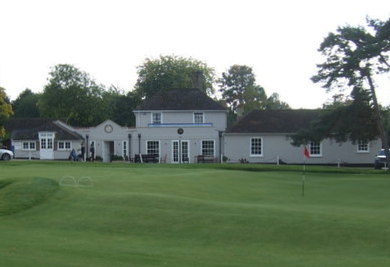
Royal Worlington and Newmarket Golf Club
The Royal Worlington and Newmarket Golf Club is a golf club located near Bury St Edmunds in Suffolk, England. The nine-hole layout is consistently ranked...
Cambridge University Golf Club
The Cambridge University Golf Club is the golf club for the University of Cambridge, England. It comprises the Blues team, the second-team Cambridge University...
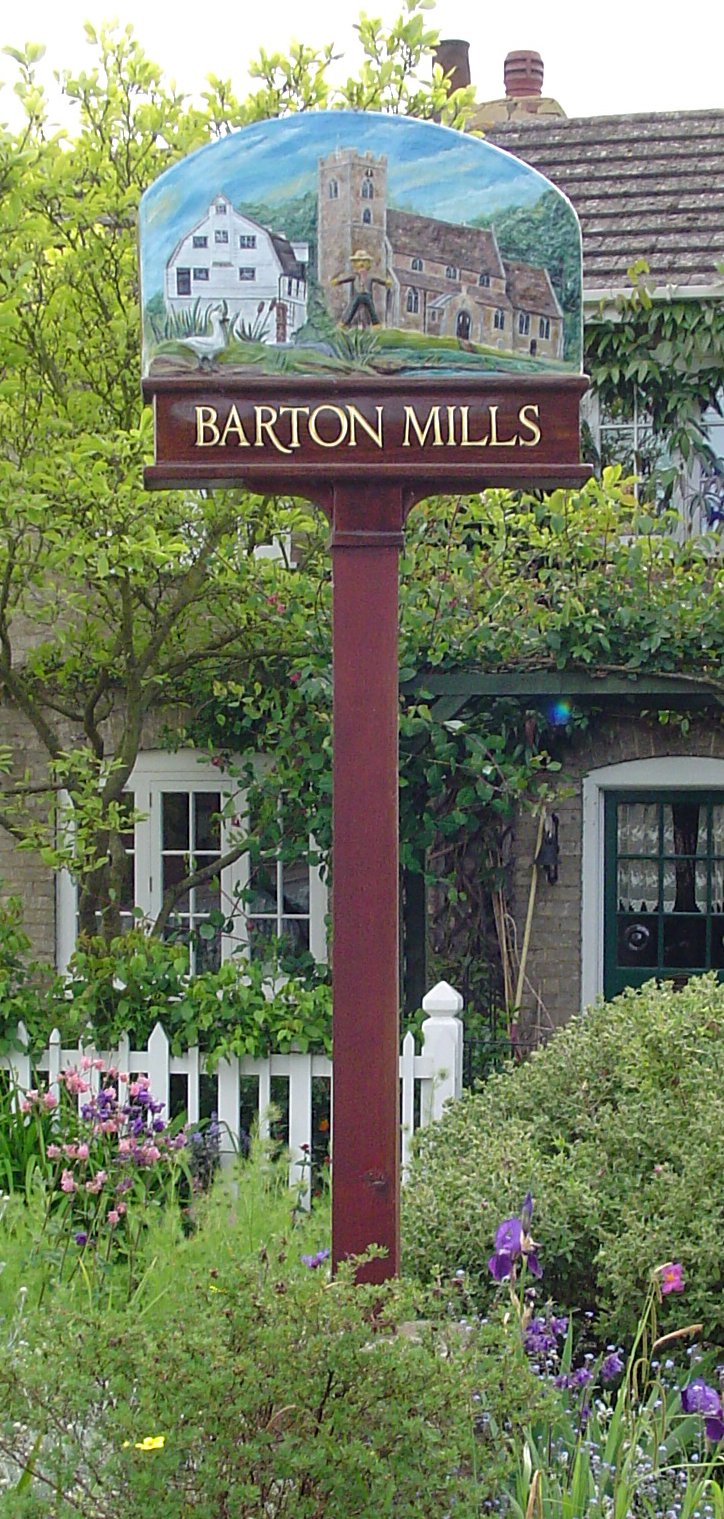
Barton Mills
Barton Mills is a village and civil parish in the West Suffolk district of Suffolk, England. The village is on the south bank of the River Lark. According...

Norah Hanbury-Kelk Meadows
Norah Hanbury-Kelk Meadows is an eight hectare nature reserve in Barton Mills in Suffolk. It is managed by the Suffolk Wildlife Trust.These wet meadows...
Related Videos
Wintergreen Road, Red Lodge
Ensum Brown are delighted to offer for sale this refurbished first-floor maisonette in Red Lodge. This property would make an ...

Americans driving through England | FLOODED country roads - FARM shop - Visit a BULL
Hello Beautiful Friends, In this video, enjoy a drive exploring a little more of England, a beautiful village called Tuddenham.

TUDDENHAM: West Suffolk Parish #3 of 103
WEST SUFFOLK PARISH #3: TUDDENHAM Tuddenham – “Tudda's Homestead” We go again in West Suffolk, and this week, ...

Christmas At Colourbox 2020 - Red Lodge Celebrations!
The children and staff at Red Lodge celebrate Christmas the Colourbox way! Wishing all of our Red Lodge families a very Merry ...
Nearby Amenities
Located within 500m of 52.317229,0.50978843Have you been to Chalkhill Belt?
Leave your review of Chalkhill Belt below (or comments, questions and feedback).