Glass Wood

Wood, Forest in Suffolk West Suffolk

England

Glass Wood

Barnardiston: All Saints' Church and Church Cottage Church Lane serves Leys Farm, then becomes a track to Kedington. The church is prettily placed on a hillock on the edge of the village. The picture was taken on a mild and sunny November morning.
Barnardiston: All Saints' Church and Church Cottage Credit: John Sutton

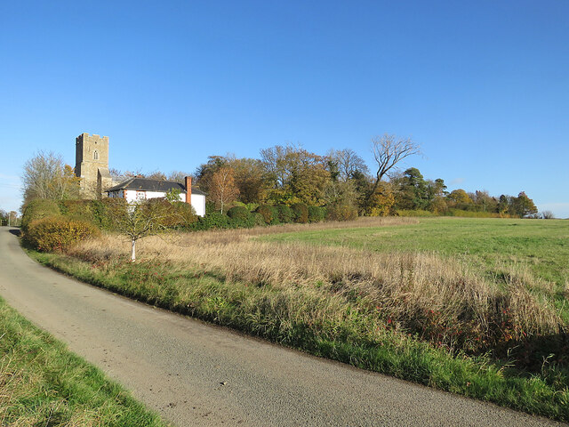
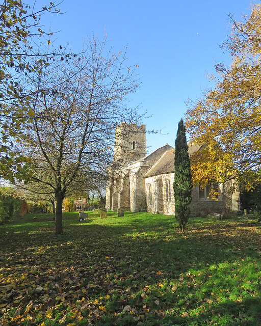
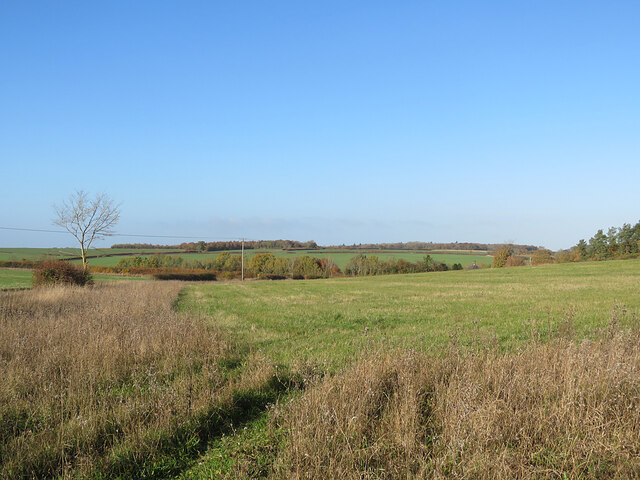
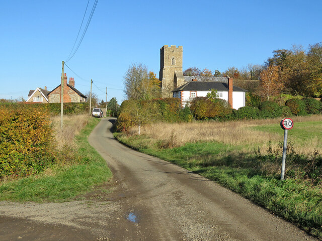
Glass Wood is a picturesque forest located in Suffolk, England. Covering an area of approximately 100 acres, it is a diverse and enchanting woodland that offers visitors a unique and immersive experience. The wood is named after the glass-like appearance of its trees during the winter months, when silvery bark and frost-covered branches create a stunning spectacle.

The wood is renowned for its rich biodiversity, hosting a wide variety of flora and fauna. Ancient oaks and beech trees dominate the landscape, their towering presence adding to the wood's ethereal atmosphere. Bluebells carpet the forest floor in spring, creating a vibrant and fragrant display. Additionally, the wood is home to numerous rare and protected species, including the lesser-spotted woodpecker and the silver-washed fritillary butterfly.

Visitors to Glass Wood can explore its well-maintained network of walking trails, allowing them to immerse themselves in its natural beauty. The trails wind through moss-covered glades, babbling brooks, and secret clearings, offering glimpses of the wood's diverse wildlife. Nature enthusiasts can also partake in birdwatching and wildlife photography.

The wood is managed by a dedicated team of conservationists who work tirelessly to preserve its unique ecosystem. They organize educational programs and guided walks, providing visitors with insights into the wood's history, ecology, and conservation efforts.

Glass Wood is not only a haven for nature lovers, but it also offers a peaceful retreat for those seeking solace in the great outdoors. Its tranquil ambiance and breathtaking scenery make it a must-visit destination for anyone looking to reconnect with nature in the heart of Suffolk.

If you have any feedback on the listing, please let us know in the comments section below.
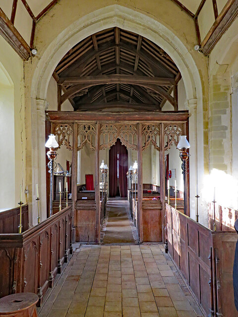
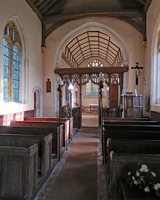
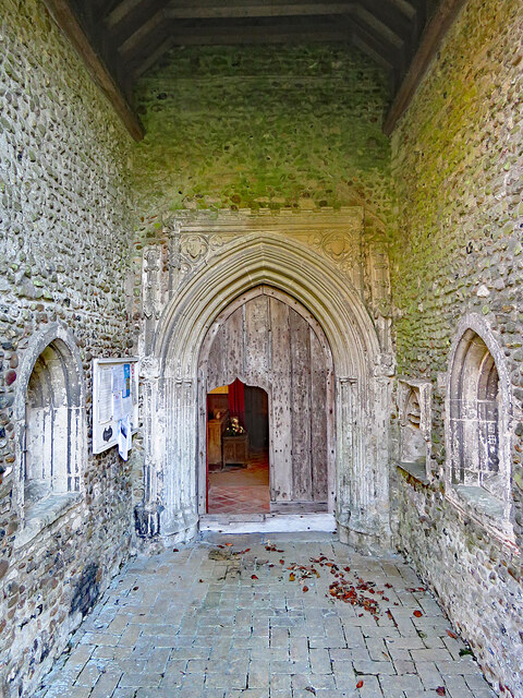
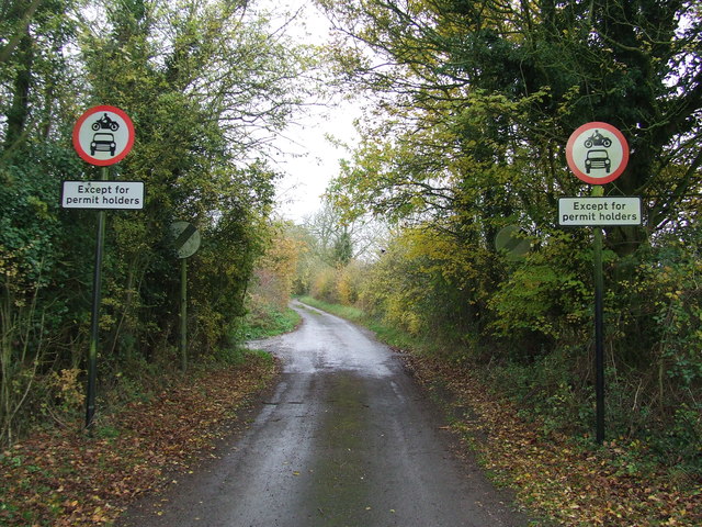
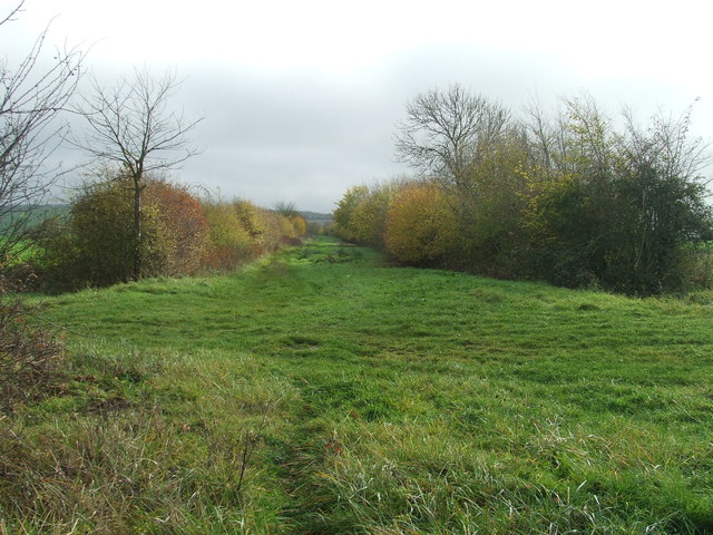
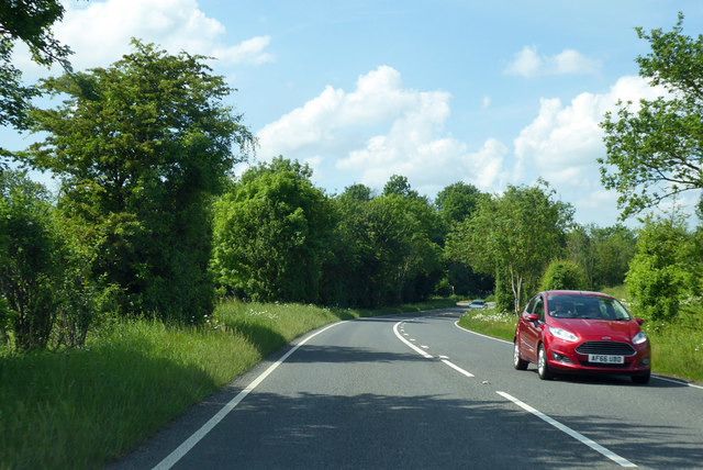
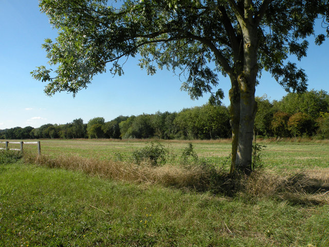
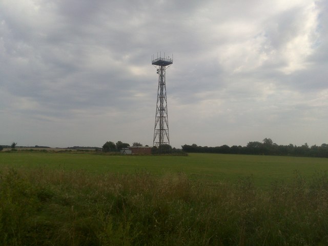
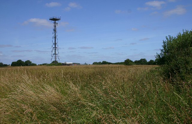
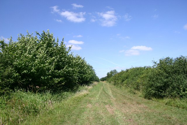
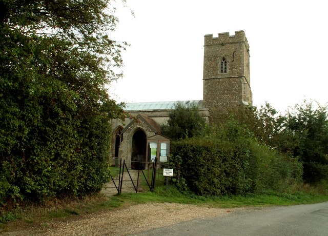
Glass Wood Images

Images are sourced within 2km of 52.117346/0.50292374 or Grid Reference TL7149. Thanks to Geograph Open Source API. All images are credited.

Barnardiston: All Saints' Church and Church Cottage Church Lane serves Leys Farm, then becomes a track to Kedington. The church is prettily placed on a hillock on the edge of the village. The picture was taken on a mild and sunny November morning.
Barnardiston: All Saints' Church and Church Cottage
Church Lane serves Leys Farm, then becomes a track to Kedington. The church is prettily placed on a hillock on the edge of the village. The picture was taken on a mild and sunny November morning.
Barnardiston: All Saints A small and pleasing Grade II* listed mediaeval church. The south wall of the chancel shows how necessary the substantial buttresses are. Norman Scarfe (in the Shell Guide) and Nikolaus Pevsner had more to say about the interior than the external fabric.
Barnardiston: All Saints
A small and pleasing Grade II* listed mediaeval church. The south wall of the chancel shows how necessary the substantial buttresses are. Norman Scarfe (in the Shell Guide) and Nikolaus Pevsner had more to say about the interior than the external fabric.
Barnardiston: All Saints' Church and churchyard Pleasing colours on a sunny November morning. The church is Grade II* listed and has 13th-, 14th- and 15th-century elements.
Barnardiston: All Saints' Church and churchyard
Pleasing colours on a sunny November morning. The church is Grade II* listed and has 13th-, 14th- and 15th-century elements.
Barnardiston: a view from Church Lane Gently rolling country on the edge of Suffolk, dissected by streams which are tributaries of the infant River Stour, which rises just over the county border, in Cambridgeshire.
Barnardiston: a view from Church Lane
Gently rolling country on the edge of Suffolk, dissected by streams which are tributaries of the infant River Stour, which rises just over the county border, in Cambridgeshire.
Barnardiston: Church Lane and All Saints The mediaeval parish church's Grade II* listing begins "A small church with a substantial tower that stands on high ground, and so can be seen from some distance".
Barnardiston: Church Lane and All Saints
The mediaeval parish church's Grade II* listing begins "A small church with a substantial tower that stands on high ground, and so can be seen from some distance".
Barnardiston: All Saints - chancel and screen This small, simple and pleasing church has several attractive features. "Screen. One-light divisions, arches with tracery over" (Nikolaus Pevsner).
Barnardiston: All Saints - chancel and screen
This small, simple and pleasing church has several attractive features. "Screen. One-light divisions, arches with tracery over" (Nikolaus Pevsner).
Barnardiston: All Saints - nave and chancel A simple 14th-century church in a small Suffolk village.
Barnardiston: All Saints - nave and chancel
A simple 14th-century church in a small Suffolk village.
Barnardiston: All Saints - porch and north doorway "The N porch has an exceptionally tall entrance. Handsome C14 N doorway" (Nikolaus Pevsner). Though the porch is high, you have to bend down to unlock and get through the ogee-topped opening cut into the main door.
Barnardiston: All Saints - porch and north doorway
"The N porch has an exceptionally tall entrance. Handsome C14 N doorway" (Nikolaus Pevsner). Though the porch is high, you have to bend down to unlock and get through the ogee-topped opening cut into the main door.
Cropmark on field west of Hundon: aerial 2022
Except Permit Holders Except permit holders on Steeplechase near to Barnardiston, Suffolk.
Except Permit Holders
Except permit holders on Steeplechase near to Barnardiston, Suffolk.
Cock Lane Cock Lane looking south east near to Barnardiston, Suffolk.
Cock Lane
Cock Lane looking south east near to Barnardiston, Suffolk.
A143 towards Bury St Edmunds
Woods at Sowley Green
Lattice Tower, Hall Road A Lattice Tower near to the village of Barnardiston in Suffolk, supporting a number of antenna and microwave like dishes. The land in which this tower is located was at least at some point located within a "Military training area".
Nowadays the field where the tower is located appears to be mostly disused grassland, with a number of the surrounding  fields being used for a solar farm.
Lattice Tower, Hall Road
A Lattice Tower near to the village of Barnardiston in Suffolk, supporting a number of antenna and microwave like dishes. The land in which this tower is located was at least at some point located within a "Military training area". Nowadays the field where the tower is located appears to be mostly disused grassland, with a number of the surrounding fields being used for a solar farm.
Old Road/Pathway, Near HMP Highpoint This is an old road that runs around the area that used to be the military training grounds. This picture was taken around a year before the then disused fields were put back into use as a location for a solar farm.
Old Road/Pathway, Near HMP Highpoint
This is an old road that runs around the area that used to be the military training grounds. This picture was taken around a year before the then disused fields were put back into use as a location for a solar farm.
Sowley Green, Suffolk Unusual brickwork on three isolated houses
Sowley Green, Suffolk
Unusual brickwork on three isolated houses
Military training area, Scotch Green Former roads in this area have been either removed, or gated, and an area of about one square kilometre, immediately south of Highpoint Prison, is a military training area.
Military training area, Scotch Green
Former roads in this area have been either removed, or gated, and an area of about one square kilometre, immediately south of Highpoint Prison, is a military training area.
Cock Lane, Scotch Green The former hamlet of Scotch Green has now disappeared within a military training area.  This old trackway continues west towards Barnardiston Hall.
Cock Lane, Scotch Green
The former hamlet of Scotch Green has now disappeared within a military training area. This old trackway continues west towards Barnardiston Hall.
Show me another place!

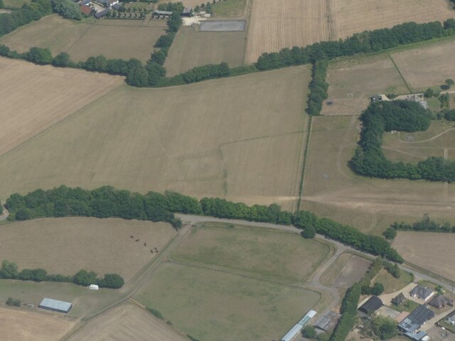
Glass Wood is located at Grid Ref: TL7149 (Lat: 52.117346, Lng: 0.50292374)

Administrative County: Suffolk

District: West Suffolk

Police Authority: Suffolk

What 3 Words

///extension.ticket.fear. Near Kedington, Suffolk

Nearby Locations

Glass Wood Barnardiston

Related Wikis

Barnardiston

Barnardiston ( bar-nər-DIS-tən) is a village and parish in the West Suffolk district of Suffolk, England. The village is located about four miles north...

Babel Green

Babel Green is a village in Suffolk, England. There are 3969 places (city, towns, hamlets …) within a radius of 100 kilometers / 62 miles from the center...

RAF Stradishall

Royal Air Force Stradishall or more simply RAF Stradishall is a former Royal Air Force station located 7 miles (11 km) north east of Haverhill, Suffolk...

HM Prison Highpoint South

HM Prison Highpoint South (formerly called Highpoint prison) is a Category C men's prison, located in the village of Stradishall (near Haverhill) in Suffolk...

Trundley and Wadgell's Wood, Great Thurlow

Trundley and Wadgell's Wood, Great Thurlow is a 79.4-hectare (196-acre) biological Site of Special Scientific Interest east of Great Thurlow in Suffolk...

HM Prison Highpoint North

HM Prison Highpoint North (formerly called Highpoint Prison and Edmunds Hill Prison) is a Category C men's prison, located in the village of Stradishall...

Kedington

Kedington is a village and civil parish in the West Suffolk district of Suffolk in eastern England, located between the towns of Clare and Haverhill in...

Bedford Free School

Bedford Free School is a mixed secondary free school located in Bedford, Bedfordshire, England. The school opened in September 2012, and educates pupils...

Nearby Amenities

Located within 500m of 52.117346,0.50292374
Bus Stop
Telephone Box
Naptan AtcoCode: 390050154
Naptan Bearing: E
Naptan BusStopType: CUS
Naptan CommonName: Telephone Box
Naptan Indicator: o/s
Naptan Landmark: Telephone Box
Naptan NaptanCode: sufgdmgm
Naptan Street: Hundon Road
Naptan Verified: no
Source: naptan_import
Lat/Long: 52.11315/0.501253
Bus Stop
Telephone Box
Naptan AtcoCode: 390050155
Naptan Bearing: W
Naptan BusStopType: CUS
Naptan CommonName: Telephone Box
Naptan Indicator: opp
Naptan Landmark: Telephone Box
Naptan NaptanCode: sufgdmgp
Naptan Street: Hundon Road
Naptan Verified: no
Source: naptan_import
Lat/Long: 52.1130779/0.5012636
The data included in this document is from www.openstreetmap.org. The data is made available under ODbL.

Have you been to Glass Wood?

Leave your review of Glass Wood below (or comments, questions and feedback).