Barnfield Shaw
Wood, Forest in Sussex Rother
England
Barnfield Shaw

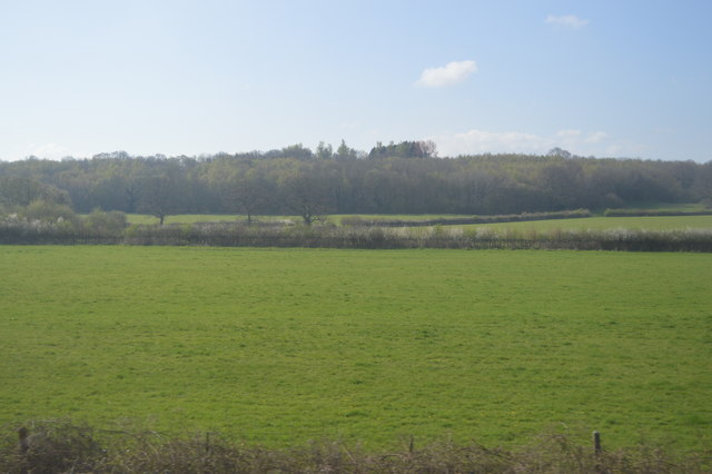
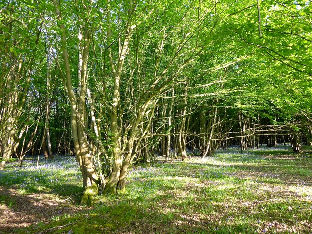
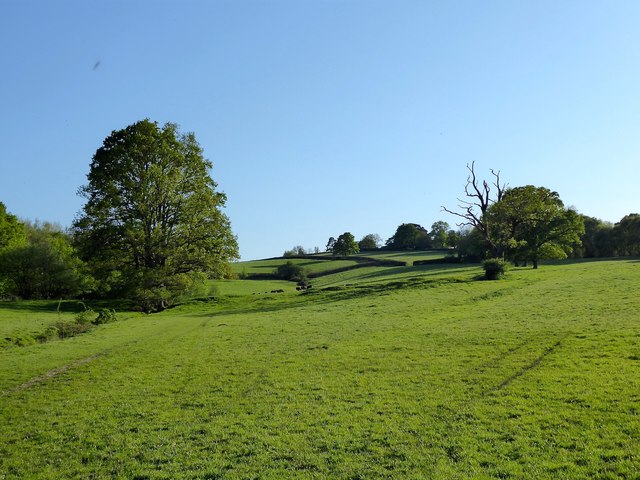
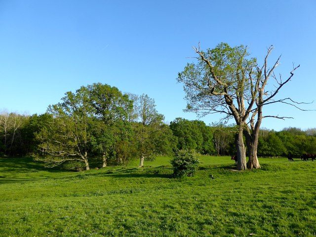
Barnfield Shaw, located in Sussex, is a picturesque woodland area that offers a tranquil escape from the bustling city life. This charming forest, also known as Barnfield Wood, is nestled within the South Downs National Park, a designated Area of Outstanding Natural Beauty.
The woodland is characterized by its diverse range of tree species, including oak, beech, and ash. These towering trees create a dense canopy that provides shade and shelter for a variety of wildlife. Visitors can spot numerous bird species, such as woodpeckers and nuthatches, along with squirrels and deer.
Barnfield Shaw is a popular destination for nature lovers and outdoor enthusiasts. It offers a network of well-maintained walking trails, making it perfect for leisurely strolls and more adventurous hikes. The paths wind through the forest, offering glimpses of wildflowers and ferns, which add to the woodland's natural beauty.
The wood also features a picnic area, allowing visitors to enjoy a packed lunch amidst the tranquil surroundings. Additionally, there are designated spots for camping, making it a great location for a weekend getaway or a family camping trip.
Barnfield Shaw is easily accessible, with ample parking available nearby. The forest is open year-round, although the vibrant autumn colors make it particularly captivating during the fall season. Whether you're seeking a peaceful retreat or an opportunity to explore nature, Barnfield Shaw is a delightful destination that showcases the beauty of Sussex's woodlands.
If you have any feedback on the listing, please let us know in the comments section below.
Barnfield Shaw Images
Images are sourced within 2km of 51.002064/0.44229566 or Grid Reference TQ7125. Thanks to Geograph Open Source API. All images are credited.


Barnfield Shaw is located at Grid Ref: TQ7125 (Lat: 51.002064, Lng: 0.44229566)
Administrative County: East Sussex
District: Rother
Police Authority: Sussex
What 3 Words
///influence.acre.emptied. Near Robertsbridge, East Sussex
Nearby Locations
Related Wikis

Etchingham
Etchingham is a village and civil parish in the Rother district of East Sussex in southern England. The village is located approximately 15 miles (24 km...
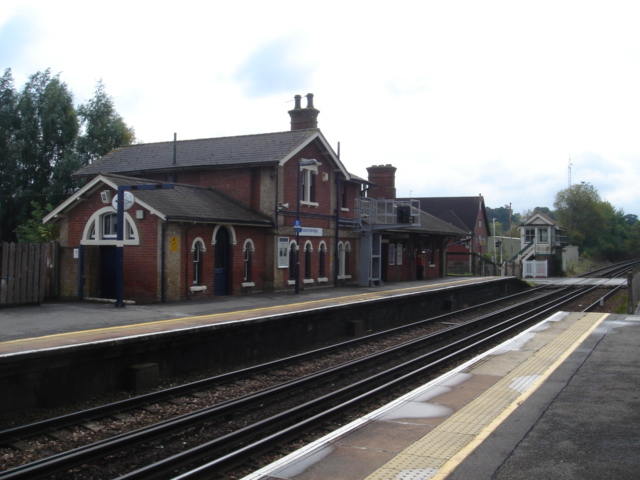
Etchingham railway station
Etchingham railway station is on the Hastings line in the south of England and serves the village of Etchingham, East Sussex. It is 47 miles 34 chains...

Haremere Hall
Haremere Hall is a Grade I listed Jacobean building near Etchingham, East Sussex. == Location == The hall is approximately 11,000-square-foot (1,000 m2...
Robertsbridge Community College
Robertsbridge Community College is a coeducational secondary school located in Robertsbridge in the English county of East Sussex.It was established in...
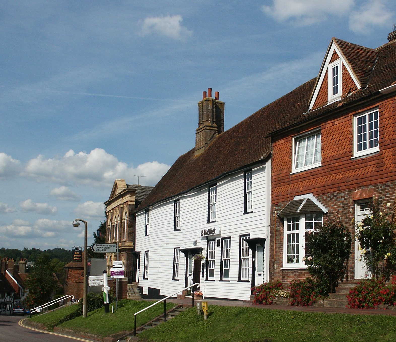
Robertsbridge
Robertsbridge is a village in the civil parish of Salehurst and Robertsbridge, and the Rother district of East Sussex, England. It is approximately 10...
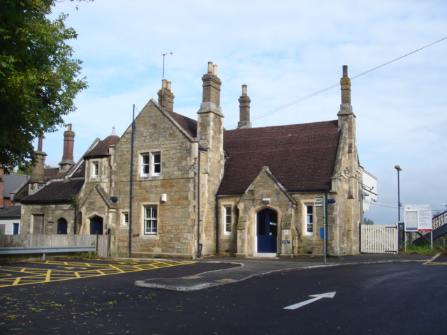
Robertsbridge railway station
Robertsbridge railway station is on the Hastings line in the south of England and serves the village of Robertsbridge, East Sussex. It is 49 miles 47 chains...
Robertsbridge Junction railway station
Robertsbridge Junction is the terminus of the Rother Valley Railway, the extension of the Kent and East Sussex Railway from Bodiam to Robertsbridge. Because...

Hurst Green, East Sussex
Hurst Green is a village and civil parish in the Rother district of East Sussex, England, and is located south of the East Sussex / Kent border at Flimwell...
Nearby Amenities
Located within 500m of 51.002064,0.44229566Have you been to Barnfield Shaw?
Leave your review of Barnfield Shaw below (or comments, questions and feedback).