Ffrith, Y
Settlement in Flintshire
Wales
Ffrith, Y

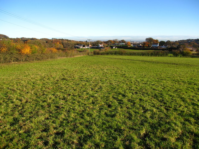
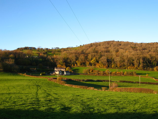
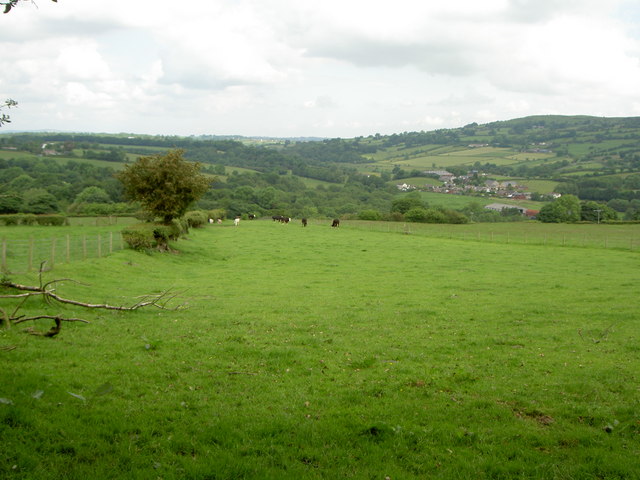
Ffrith is a small village located in the county of Flintshire, Wales. It is situated near the town of Mold and is surrounded by picturesque countryside. The village is known for its peaceful and rural setting, making it a popular destination for those seeking a tranquil retreat.
Ffrith is home to a range of amenities, including a local pub, post office, and convenience store, providing residents with all the essentials they need. The village also has a community center which hosts a variety of events and activities throughout the year.
One of the main attractions in Ffrith is the Ffrith Beach Arena, a popular leisure complex that features a go-karting track, skate park, and children's play area. The arena also hosts events such as music concerts and food festivals, making it a hub of entertainment for both locals and visitors.
Overall, Ffrith is a charming village with a strong sense of community and plenty of opportunities for recreation and relaxation. Its idyllic setting and range of amenities make it a desirable place to live or visit in Flintshire.
If you have any feedback on the listing, please let us know in the comments section below.
Ffrith, Y Images
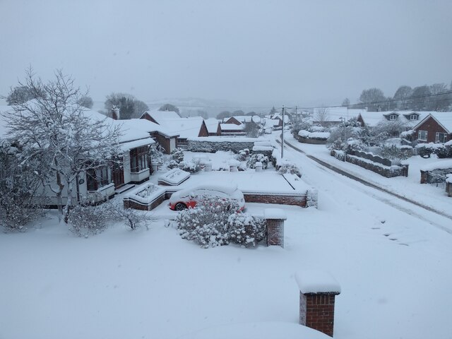
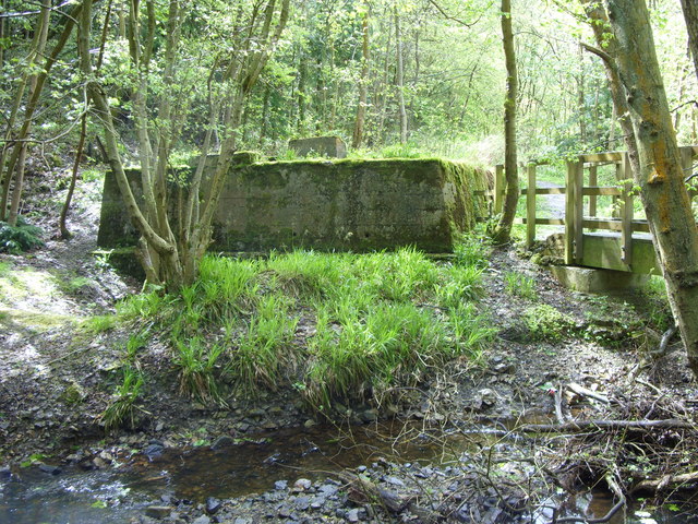
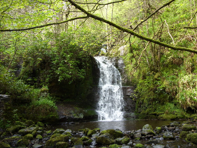
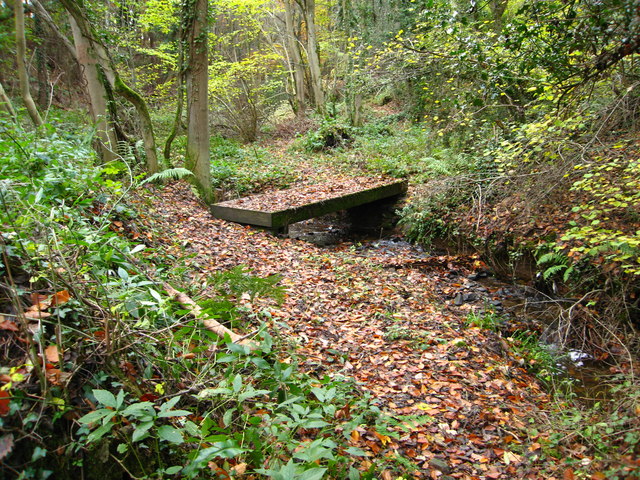
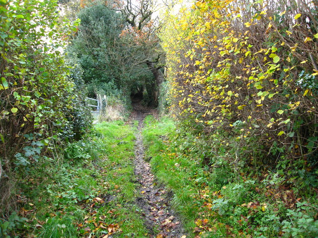
Images are sourced within 2km of 53.087339/-3.0764683 or Grid Reference SJ2855. Thanks to Geograph Open Source API. All images are credited.


Ffrith, Y is located at Grid Ref: SJ2855 (Lat: 53.087339, Lng: -3.0764683)
Unitary Authority: Flintshire
Police Authority: North Wales
Also known as: Ffrith
What 3 Words
///latched.multiple.nanny. Near Brymbo, Wrexham
Related Wikis

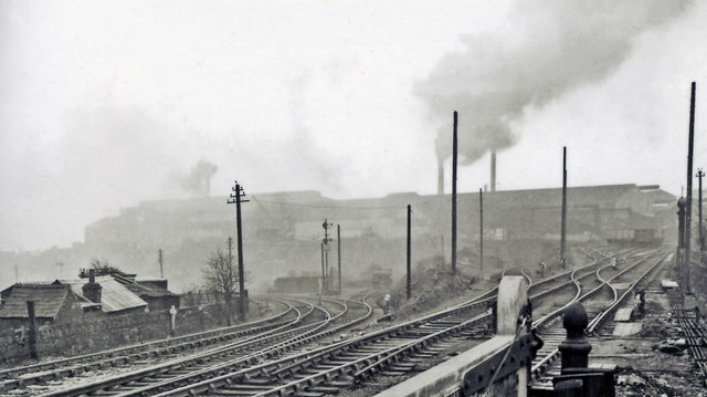
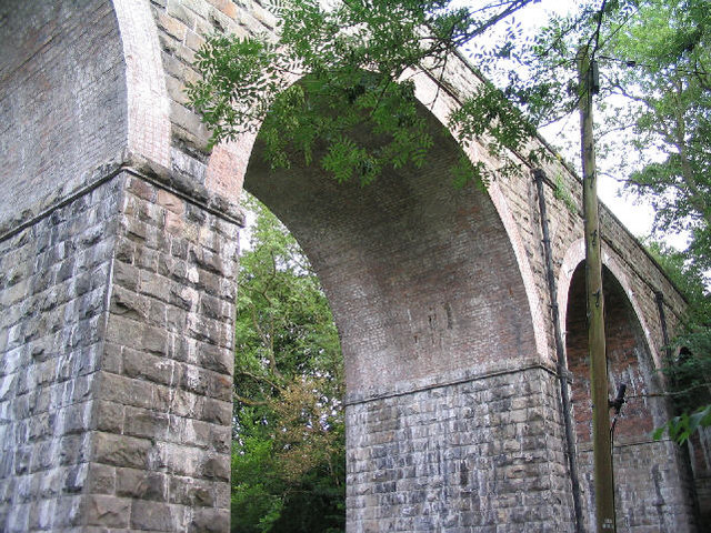
Ffrith railway station
Ffrith railway station was a station in Ffrith, Flintshire, Wales. The station was opened on 2 May 1898 and closed on 27 March 1950. == References... ==
Ffrith
Ffrith is a small village in the community of Llanfynydd in Flintshire, north-east Wales. == Name == The name Ffrith (the Welsh double "f" is pronounced...

Llanfynydd railway station
Llanfynydd railway station was a station in Llanfynydd, Flintshire, Wales. The station was opened on 2 May 1898, closed to passengers on 27 March 1950...
Llanfynydd, Flintshire
Llanfynydd is a village, local government community and electoral ward in Flintshire, Wales. Its name is derived from the Welsh words llan ("enclosure...
Nearby Amenities
Located within 500m of 53.087339,-3.0764683Have you been to Ffrith, Y?
Leave your review of Ffrith, Y below (or comments, questions and feedback).