Ffrwd

Settlement in Flintshire

Wales

Ffrwd

All Saints, Cymau in the snow Friday 10th March 2023 walked down to check all well at church & empty dehumidifier.
All Saints, Cymau in the snow Credit: Isabel Blore

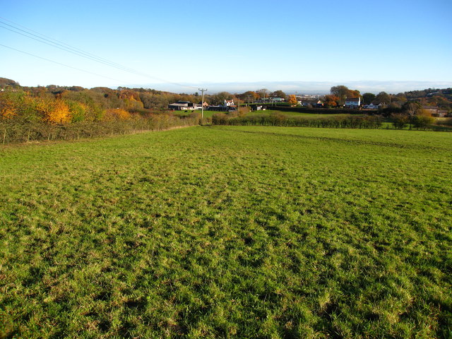
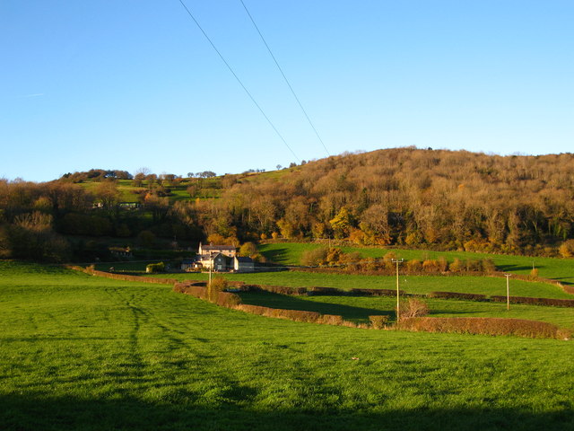
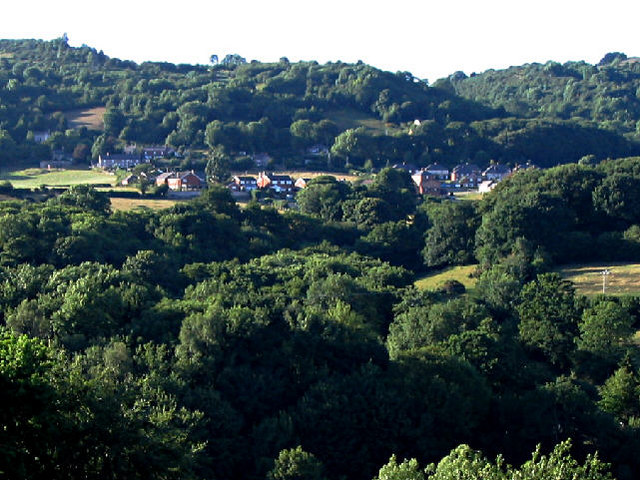
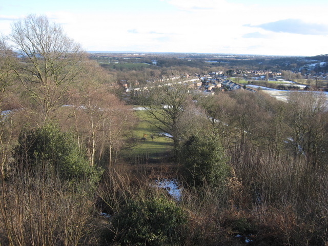
Ffrwd is a small village located in the county of Flintshire, Wales. It is situated in the northeastern part of the country, near the border with England. With a population of around 500 residents, Ffrwd is known for its peaceful and rural setting, surrounded by picturesque countryside and rolling hills.

The village of Ffrwd is primarily a residential area, consisting of a mix of traditional Welsh cottages and more modern houses. It offers a close-knit community atmosphere, where neighbors often know each other and engage in local activities together. Although small in size, Ffrwd has a strong sense of community pride and involvement.

In terms of amenities, Ffrwd has a few local shops and a pub, which serves as a popular meeting point for locals and visitors alike. The village is also well-connected to the nearby towns and cities, with good transport links by road and public transportation.

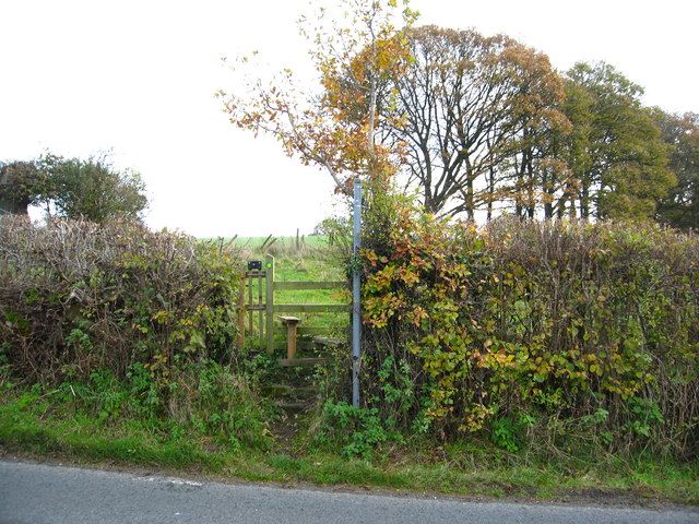
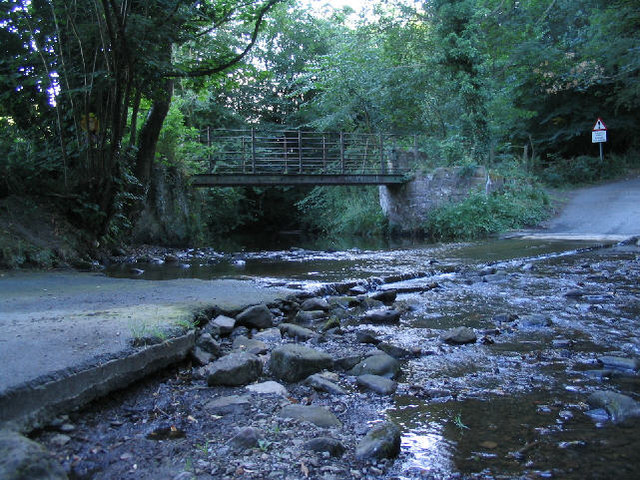
For outdoor enthusiasts, Ffrwd is a haven. Its surrounding countryside offers plenty of opportunities for walking, hiking, and cycling. The village is also close to the River Dee, providing fishing and boating opportunities. Additionally, there are several nature reserves and parks in the vicinity, allowing residents to enjoy the beauty of the natural surroundings.

Overall, Ffrwd is a charming and idyllic village, perfect for those seeking a peaceful lifestyle in the Welsh countryside. Its close-knit community, beautiful landscapes, and proximity to nature make it an attractive place to live or visit.

If you have any feedback on the listing, please let us know in the comments section below.
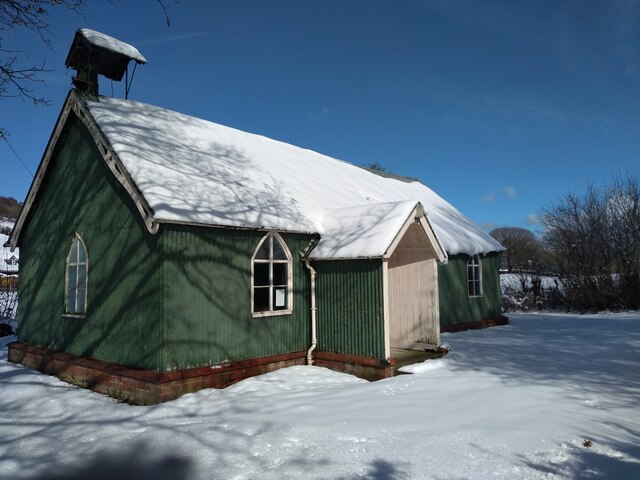
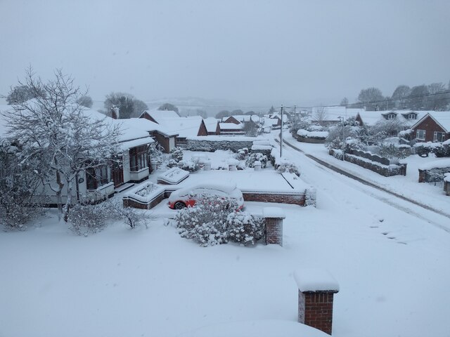
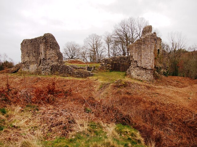
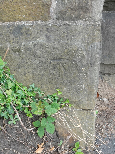
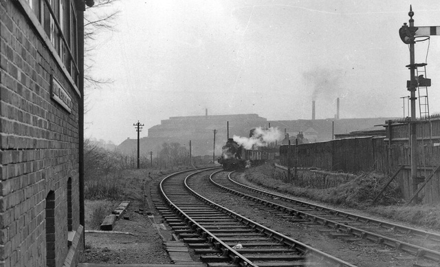
Ffrwd Images

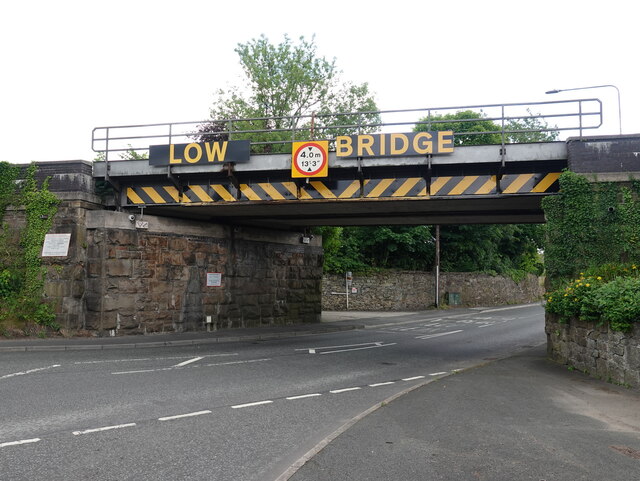
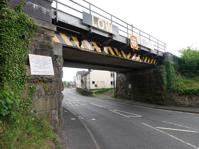
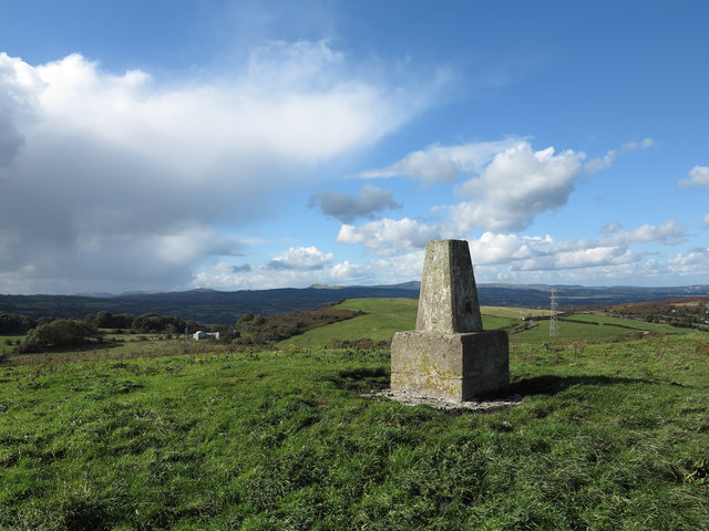
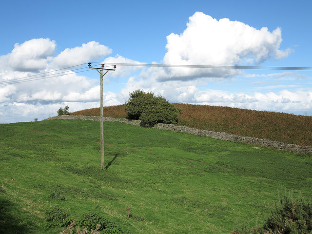
Images are sourced within 2km of 53.091057/-3.040902 or Grid Reference SJ3055. Thanks to Geograph Open Source API. All images are credited.

All Saints, Cymau in the snow Friday 10th March 2023 walked down to check all well at church & empty dehumidifier.
All Saints, Cymau in the snow
Friday 10th March 2023 walked down to check all well at church & empty dehumidifier.
View of Cymau Village in the Snow Woke up to more snow! 10th March 2023
View of Cymau Village in the Snow
Woke up to more snow! 10th March 2023
Derelict Agricultural Buildings
Caergwrle Castle
Caergwrle Castle
Benchmark on Cefn-y-Bedd railway bridge, Wrexham Road Ordnance Survey benchmark on the northwest corner of the railway bridge over Wrexham Road, Cefn-y-Bedd. Levelled at 82.601m above Newlyn Datum, verified 1959. For wider views see: <a href="https://www.geograph.org.uk/photo/7523770">SJ3156 : Low Bridge over Wrexham Road, Cefn-y-Bedd</a> and <a href="https://www.geograph.org.uk/photo/7523783">SJ3156 : Low Bridge over Wrexham Road, Cefn-y-Bedd</a>

Benchmark database: <span class="nowrap"><a title="https://www.bench-marks.org.uk/bm195726" rel="nofollow ugc noopener" href="https://www.bench-marks.org.uk/bm195726">Link</a><img style="margin-left:2px;" alt="External link" title="External link - shift click to open in new window" src="https://s1.geograph.org.uk/img/external.png" width="10" height="10"/></span>
Benchmark on Cefn-y-Bedd railway bridge, Wrexham Road
Ordnance Survey benchmark on the northwest corner of the railway bridge over Wrexham Road, Cefn-y-Bedd. Levelled at 82.601m above Newlyn Datum, verified 1959. For wider views see: SJ3156 : Low Bridge over Wrexham Road, Cefn-y-Bedd and SJ3156 : Low Bridge over Wrexham Road, Cefn-y-Bedd Benchmark database: LinkExternal link
Low Bridge over Wrexham Road, Cefn-y-Bedd Despite the warning signs Cefn-y-Bedd railway bridge is often hit with oversize lorries or loads. There is an Ordnance Survey benchmark on the left hand corner of the bridge <a href="https://www.geograph.org.uk/photo/7523731">SJ3156 : Benchmark on Cefn-y-Bedd railway bridge, Wrexham Road</a>
Low Bridge over Wrexham Road, Cefn-y-Bedd
Despite the warning signs Cefn-y-Bedd railway bridge is often hit with oversize lorries or loads. There is an Ordnance Survey benchmark on the left hand corner of the bridge SJ3156 : Benchmark on Cefn-y-Bedd railway bridge, Wrexham Road
Summit area of Hope Mountain Hope Mountain is a local high point and a 'Marilyn' north-west of Wrexham; the trig point is seen here at the hill top.
Summit area of Hope Mountain
Hope Mountain is a local high point and a 'Marilyn' north-west of Wrexham; the trig point is seen here at the hill top.
Field north-east of summit of Hope Mountain Hope Mountain is a hill of modest height west of the village of Caergwrle. Beyond the field and the bracken a slope drops steeply to the village.
Field north-east of summit of Hope Mountain
Hope Mountain is a hill of modest height west of the village of Caergwrle. Beyond the field and the bracken a slope drops steeply to the village.
Brymbo: southward at Brymbo Middle Signalbox, 1962 View towards Brymbo (GWR) station and Wrexham to left, towards Vron Colliery to right. Brymbo Steelworks dominates the background. This a typical scene of heavy industry 50+ years ago. See also <a href="https://www.geograph.org.uk/photo/1792662">SJ2651 : Site of Berwig Halt, Minera</a>, <a href="https://www.geograph.org.uk/photo/1928409">SJ2953 : Brymbo (GW) Station (remains)</a> and <a href="https://www.geograph.org.uk/photo/1929001">SJ2954 : Site of Brymbo West Crossing Halt</a>.
Brymbo: southward at Brymbo Middle Signalbox, 1962
View towards Brymbo (GWR) station and Wrexham to left, towards Vron Colliery to right. Brymbo Steelworks dominates the background. This a typical scene of heavy industry 50+ years ago. See also SJ2651 : Site of Berwig Halt, Minera, SJ2953 : Brymbo (GW) Station (remains) and SJ2954 : Site of Brymbo West Crossing Halt.
View across to Moss and the transmitter Looking over part of the huge area cleared when Brymbo steelworks closed. Some new trees are starting to grow. 

Compare with similar view from 2005 <a href="https://www.geograph.org.uk/photo/43377">SJ3053 : Transmitter Mast at Moss</a>
View across to Moss and the transmitter
Looking over part of the huge area cleared when Brymbo steelworks closed. Some new trees are starting to grow. Compare with similar view from 2005 SJ3053 : Transmitter Mast at Moss
Grazing fields west of the B5101 Gyfynys Farm on the left and Woodlands Farm to the rear
Grazing fields west of the B5101
Gyfynys Farm on the left and Woodlands Farm to the rear
Pasture land north of Brymbo A lovely view across this square from a footpath heading up to Mount Sion. Spread out below - from Gyfynys Farm on the left to St Mary's Church on the right. Beyond in the middle distance are factories at Llay and in the far distance is a view across the Cheshire Plain to The Sandstone Ridge.
Pasture land north of Brymbo
A lovely view across this square from a footpath heading up to Mount Sion. Spread out below - from Gyfynys Farm on the left to St Mary's Church on the right. Beyond in the middle distance are factories at Llay and in the far distance is a view across the Cheshire Plain to The Sandstone Ridge.
Old stone footbridge east of Ffrith The footpath from here takes you to Cymau Road
Old stone footbridge east of Ffrith
The footpath from here takes you to Cymau Road
Grazing fields south of Bryn Melyn
Stile for footpath from Cymau Road Through fields east of Cymau Hall Farm
Stile for footpath from Cymau Road
Through fields east of Cymau Hall Farm
Former Brymbo Library Viewed across Dyke Street in September 2016. The Daily Post reported in January 2014 that Wrexham council's executive board had voted to shut Brymbo and Gresford libraries and reduce the hours of the remaining 10 libraries in the county by 19% to save cash in the face of £13.8 million cuts for 2014/2015.
Former Brymbo Library
Viewed across Dyke Street in September 2016. The Daily Post reported in January 2014 that Wrexham council's executive board had voted to shut Brymbo and Gresford libraries and reduce the hours of the remaining 10 libraries in the county by 19% to save cash in the face of £13.8 million cuts for 2014/2015.
Junction of Edwards Avenue and Dyke Street, Brymbo Edwards Avenue from the right joins Dyke Street.
Junction of Edwards Avenue and Dyke Street, Brymbo
Edwards Avenue from the right joins Dyke Street.
Show me another place!

Ffrwd is located at Grid Ref: SJ3055 (Lat: 53.091057, Lng: -3.040902)

Unitary Authority: Flintshire

Police Authority: North Wales

What 3 Words

///former.dynasties.album. Near Caergwrle, Flintshire

Nearby Locations

Sydallt Wood Ffrwd

Related Wikis

Sydallt

Sydallt is a village in Gwersyllt community, Wrexham County Borough, north Wales. It had a population of 422 as of the 2011 UK census. == Economy == In...

Cymau

Cymau is a small village situated in the community of Llanfynydd, Flintshire on the edge of the mountains of north-east Wales. Its name is the Welsh word...

River Cegidog

The River Cegidog (Welsh: Afon Cegidog) is a river in north-east Wales. It flows mainly through Flintshire but towards the end of its course it forms the...

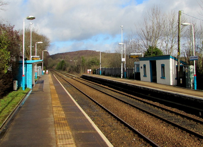
Cefn-y-Bedd railway station

Cefn-y-bedd railway station serves the village of Cefn-y-bedd in Flintshire, Wales. The station is 4 miles (6 km) north of Wrexham Central on the Borderlands...

Cefn-y-bedd

Cefn-y-bedd () is a village in Flintshire, north-east Wales. The name translates into English as "the ridge of the grave", in reference to an old tumulus...

Abermorddu

Abermorddu () is a village in the county of Flintshire, Wales, in the community of Hope. Approximately 5 miles north of Wrexham along the A541 road, it...

Brymbo West Crossing Halt railway station

Brymbo West Crossing Halt railway station was a station in Brymbo, Wrexham, Wales. The station was opened on 20 March 1905 and closed on 1 January 1931...

Wrexham-Rhos transmitting station

The Wrexham-Rhos transmitting station is a digital television relay of Moel-y-Parc, and forms part of the Wales television region. Despite its name, the...

Related Videos

Hiking 2 Miles at Waun Y Llyn Country Park Wales

I have planned to walk and explore different mountains. This is my first 2 miles walk at Waun Y Llyn Country Park Wales.

Walking Tour - Alyn Waters (▶8.52mins/sec)【4K HDR】🇬🇧

AlynWaters #Wrexham #WalkingTour ✔️ Why not Join our FaceBook Group! https://www.facebook.com/groups/oubliettetours ...

PENRHOS ENGINE HOUSE RUINS ON BRYMBO ROAD WREXHAM NORTH WALES UK

PENRHOS ENGINE HOUSE RUINS ON BRYMBO ROAD WREXHAM NORTH WALES UK.

Nearby Amenities

Located within 500m of 53.091057,-3.040902
Pub
Ffrwd
Addr Postcode: LL12 9TR
Addr Street: Minera Road
Fhrs Id: 346607
Source Addr: FHRS Open Data
Wikidata: Q80581802
Lat/Long: 53.0909458/-3.0422743
Grit Bin
Lat/Long: 53.090008/-3.041841
Power: pole
Lat/Long: 53.0880161/-3.0442091
Power: pole
Lat/Long: 53.087783/-3.0433186
Power: pole
Lat/Long: 53.0872464/-3.0412846
Power: pole
Lat/Long: 53.0870465/-3.0402807
Power: pole
Lat/Long: 53.0874118/-3.0418861
Give Way
Direction: forward
Lat/Long: 53.0871238/-3.0381415
The data included in this document is from www.openstreetmap.org. The data is made available under ODbL.

Have you been to Ffrwd?

Leave your review of Ffrwd below (or comments, questions and feedback).