Ffrith
Settlement in Flintshire
Wales
Ffrith

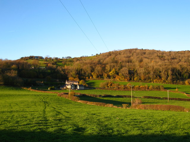
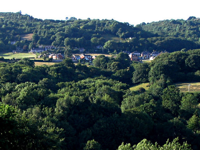
Ffrith is a small village located in Flintshire, Wales. It is situated near the border with England, approximately 2 miles south of the town of Prestatyn. The village is known for its picturesque countryside surroundings and tranquil atmosphere.
Ffrith is home to a mix of residential properties, including traditional cottages and modern houses. There is also a popular caravan park in the village, attracting tourists looking to explore the natural beauty of the area.
The village is well-connected by road, with the A548 passing through Ffrith, providing easy access to nearby towns and cities. There are also regular bus services running through the village, connecting it to the wider region.
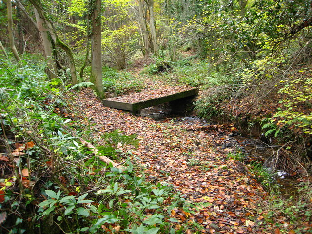
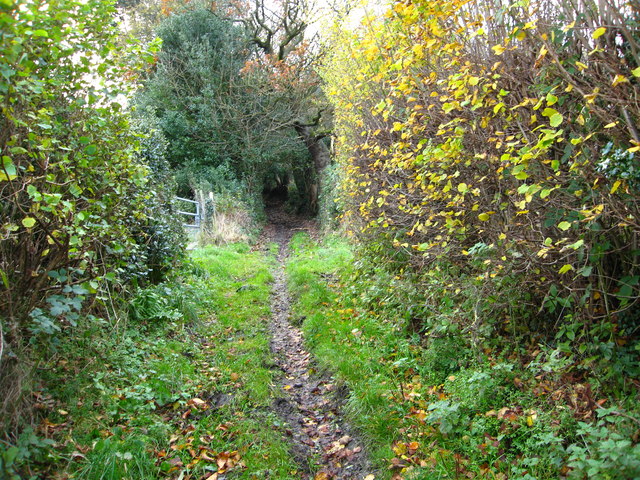
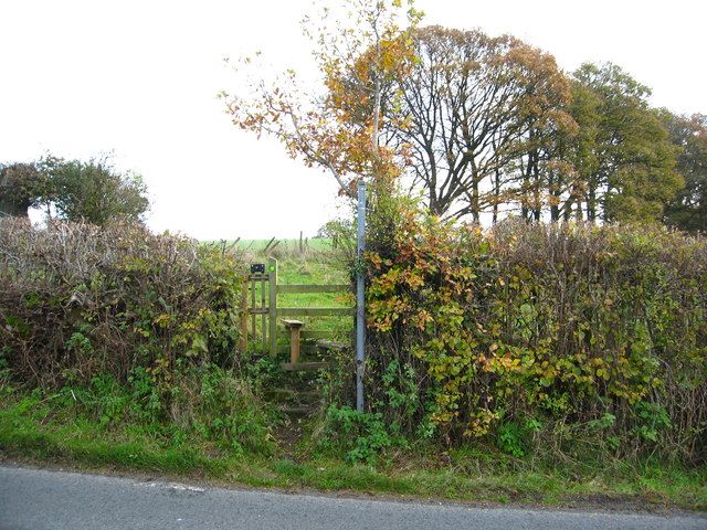
Ffrith is a close-knit community, with a local pub, church, and community center serving as focal points for residents to socialize and come together. The village is surrounded by rolling hills and farmland, making it a peaceful retreat for those looking to escape the hustle and bustle of city life. Overall, Ffrith offers a charming and idyllic setting for those seeking a quiet and rural lifestyle.
If you have any feedback on the listing, please let us know in the comments section below.
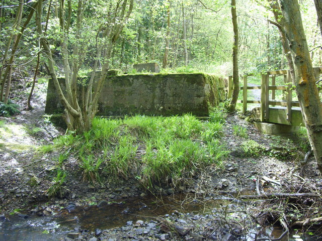
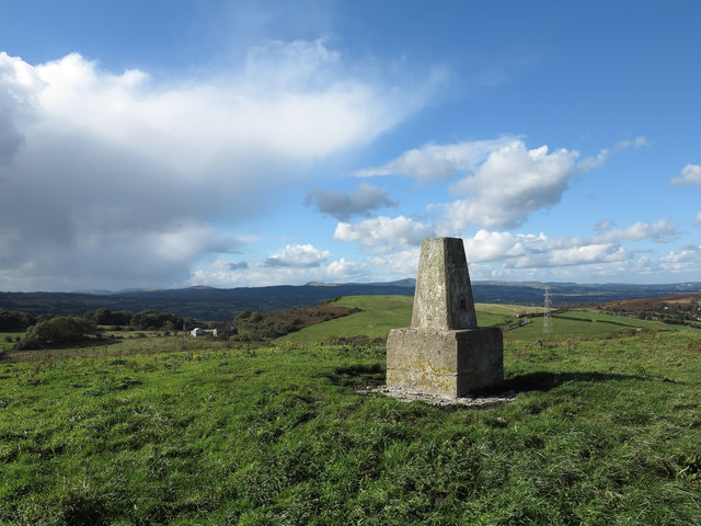
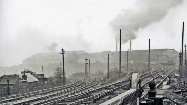
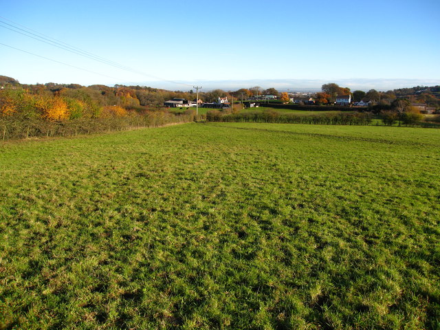
Ffrith Images
Images are sourced within 2km of 53.09001/-3.072053 or Grid Reference SJ2855. Thanks to Geograph Open Source API. All images are credited.


Ffrith is located at Grid Ref: SJ2855 (Lat: 53.09001, Lng: -3.072053)
Unitary Authority: Flintshire
Police Authority: North Wales
Also known as: Y Ffrith
What 3 Words
///lengthen.spilled.smirks. Near Brymbo, Wrexham
Related Wikis

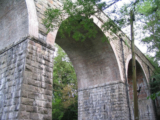
Ffrith railway station
Ffrith railway station was a station in Ffrith, Flintshire, Wales. The station was opened on 2 May 1898 and closed on 27 March 1950. == References... ==
Ffrith
Ffrith is a small village in the community of Llanfynydd in Flintshire, north-east Wales. == Name == The name Ffrith (the Welsh double "f" is pronounced...

Llanfynydd railway station
Llanfynydd railway station was a station in Llanfynydd, Flintshire, Wales. The station was opened on 2 May 1898, closed to passengers on 27 March 1950...
Cymau
Cymau is a small village situated in the community of Llanfynydd, Flintshire on the edge of the mountains of north-east Wales. Its name is the Welsh word...
Nearby Amenities
Located within 500m of 53.09001,-3.072053Have you been to Ffrith?
Leave your review of Ffrith below (or comments, questions and feedback).