Astwood
Settlement in Worcestershire Wychavon
England
Astwood
Astwood is a small village located in the county of Worcestershire, England. Situated near the town of Redditch, it lies approximately 14 miles south of Birmingham. The village is nestled in a rural setting, surrounded by picturesque countryside and rolling hills, which makes it an attractive destination for those seeking a tranquil and idyllic lifestyle away from the hustle and bustle of city life.
Astwood has a rich history that dates back to the Anglo-Saxon period, as evidenced by the presence of several ancient buildings and landmarks. The village church, St. Peter's, is a notable feature, with its Norman tower dating back to the 12th century. The surrounding area also boasts several historic manor houses, such as Astwood Hall, which was built in the late 17th century and is now a Grade II listed building.
Despite its small size, Astwood offers a range of amenities to its residents. These include a village hall, a primary school, and a local pub, providing essential services and a sense of community. The village is well-connected to neighboring towns and cities, with good transport links facilitating easy access to Redditch and Birmingham.
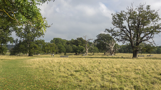
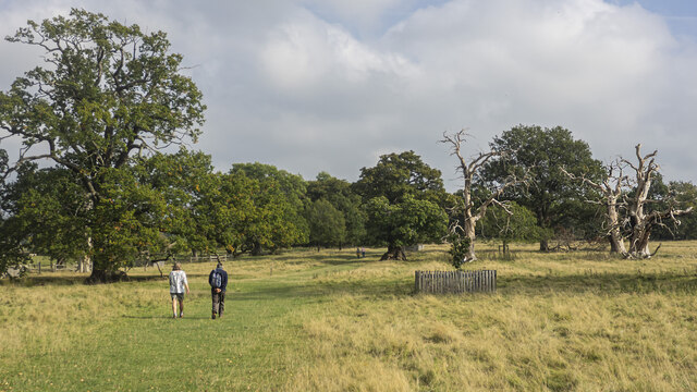
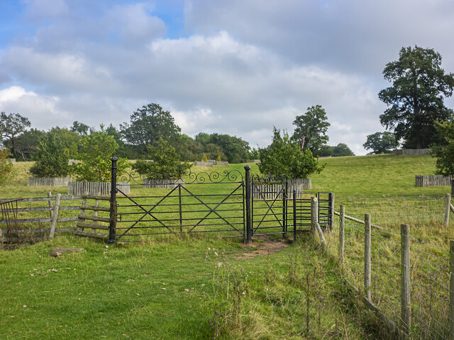
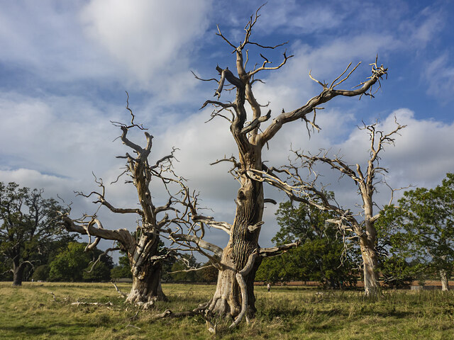
The natural beauty of the countryside surrounding Astwood also makes it a popular destination for outdoor enthusiasts. The village is surrounded by sprawling fields and woodlands, offering ample opportunities for walking, cycling, and exploring nature. Additionally, the nearby Arrow Valley Country Park is a popular spot for leisure activities, including fishing and boating.
In summary, Astwood is a charming village in Worcestershire, known for its historic architecture, rural setting, and access to stunning natural landscapes. It provides a peaceful and scenic retreat for residents and visitors alike.
If you have any feedback on the listing, please let us know in the comments section below.
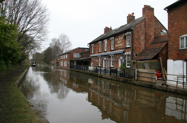
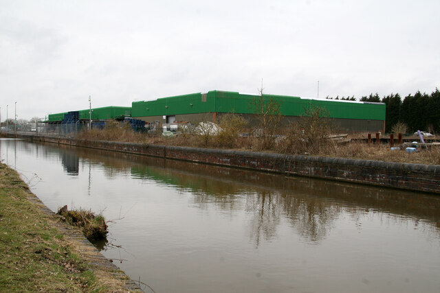
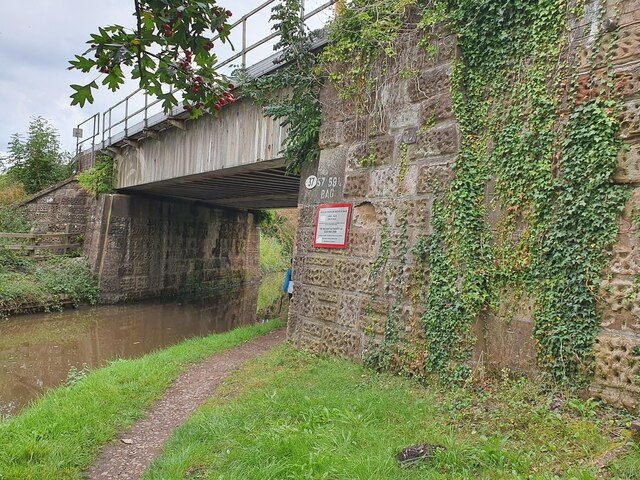
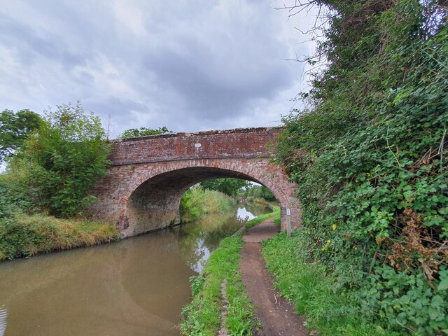
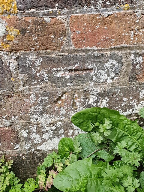
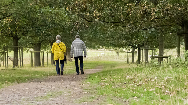
Astwood Images
Images are sourced within 2km of 52.284404/-2.0982011 or Grid Reference SO9365. Thanks to Geograph Open Source API. All images are credited.


Astwood is located at Grid Ref: SO9365 (Lat: 52.284404, Lng: -2.0982011)
Administrative County: Worcestershire
District: Wychavon
Police Authority: West Mercia
What 3 Words
///enclosing.cheater.polices. Near Wychbold, Worcestershire
Nearby Locations
Related Wikis
Wychbold
Wychbold is a village in the Wychavon district of Worcestershire. The village is situated on the A38 between Droitwich Spa and Bromsgrove, and by Junction...

Droitwich Transmitting Station
The Droitwich transmitting station is a large broadcasting facility for long-wave and medium-wave transmissions, established in 1934 in the civil parish...

Stoke Works railway station
Stoke Works railway station was a station in the hamlet of Stoke Prior in the English county of Worcestershire, near Bromsgrove. It was located on the...

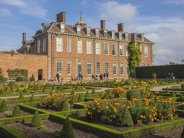
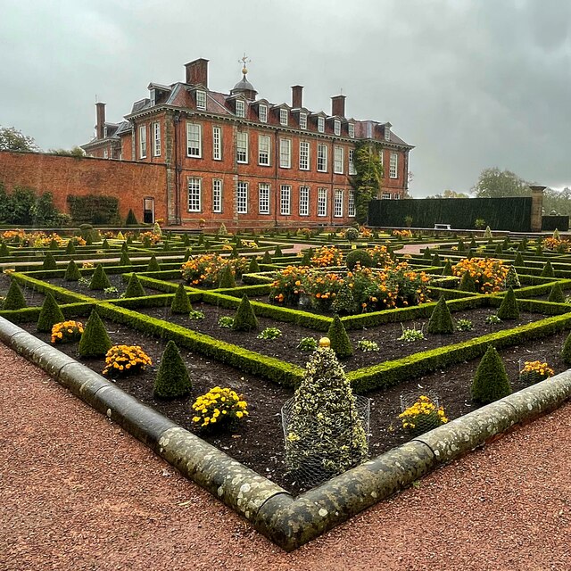
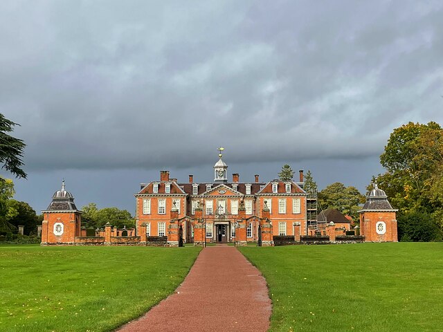
Hanbury Hall
Hanbury Hall is a large 18th-century stately home standing in parkland at Hanbury, Worcestershire. The main range has two storeys and is built of red brick...

Dodderhill
Dodderhill is a civil parish, near Droitwich, Worcestershire, England, located on the River Salwarpe. The parish is bisected by the M5 motorway, constructed...
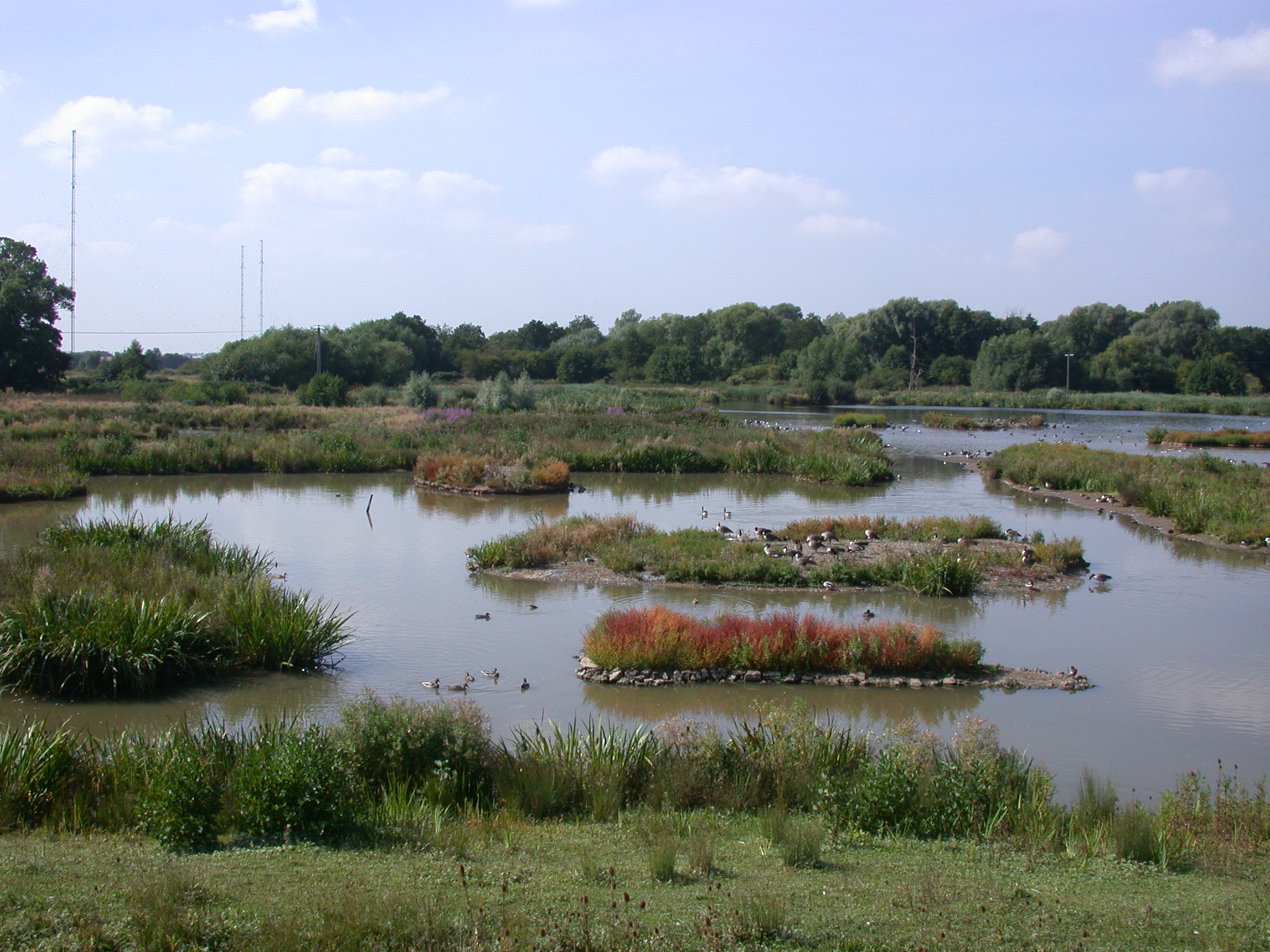
Christopher Cadbury Wetland Reserve
The Christopher Cadbury Wetland Reserve is a nature reserve of the Worcestershire Wildlife Trust. It is situated near Upton Warren, between Bromsgrove...

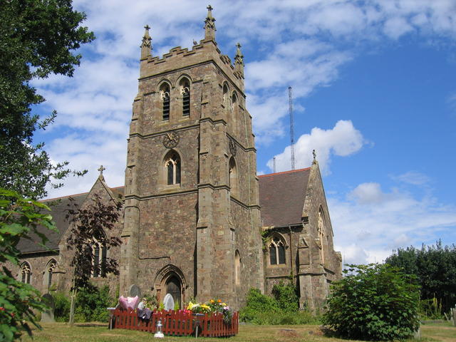
St Mary the Virgin, Hanbury
The church of St Mary the Virgin is an Anglican parish church in the village of Hanbury, Worcestershire. Its earliest parts date from about 1210 and it...

Stoke Prior, Worcestershire
Stoke Prior is a village in the civil parish of Stoke in the Bromsgrove district of Worcestershire. The parish includes the settlement of Stoke Wharf and...
Related Videos
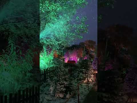

This is a great place to visit for a festive day out! #NationalTrust #UKDaysOut
We visited Hanbury Hall, a National Trust property near Droitwich Spa in Worcestershire, for a festive day out. Hanbury Hall itself ...
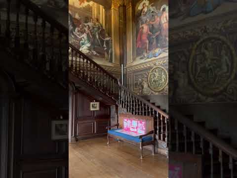
When I reached the top of the stairs, I couldn't believe what I saw. 🪜 😮 #nationaltrust #santa
old #building #scenery #art #artwork.
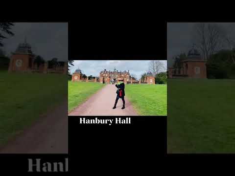
HANBURY HALL #droitwich #worcestershire #roses_travelgram #england #mytravelgram #shorts #travel
Hanbury hall in droitwich Worcestershire is an English baroque stately house built by sir Thomas Vernon a prominent lawyer in ...
Nearby Amenities
Located within 500m of 52.284404,-2.0982011Have you been to Astwood?
Leave your review of Astwood below (or comments, questions and feedback).