Astwood

Settlement in Buckinghamshire

England

Astwood

Hardmead: Newport Road, effectively a lay-by on the A422
Hardmead: Newport Road, effectively a lay-by on the A422 Credit: Michael Garlick

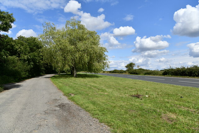
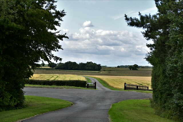
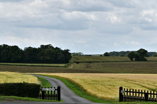
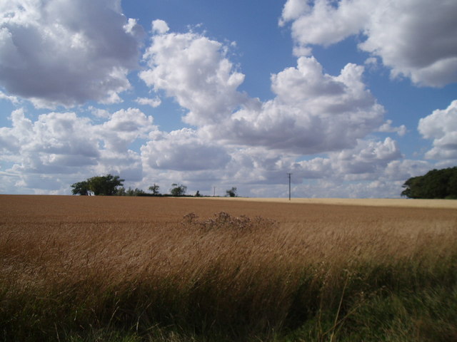
Astwood is a small village located in Buckinghamshire, England. It is situated near the border with Bedfordshire, approximately 6 miles north of the town of Newport Pagnell. The village is surrounded by picturesque countryside, with rolling hills and farmland creating a tranquil and scenic setting.

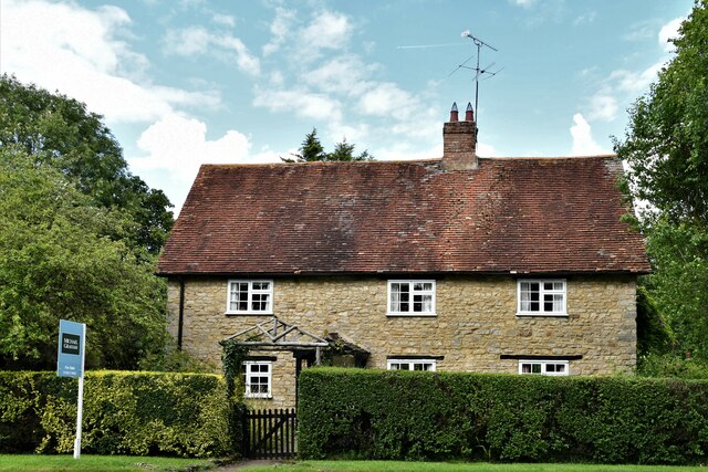
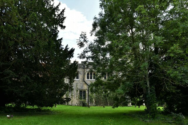
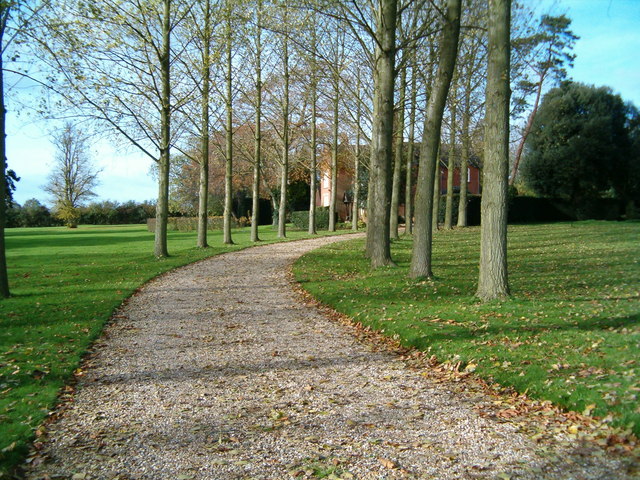
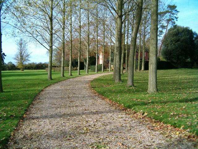
Astwood is a quiet and rural community, with a population of around 200 residents. The village is known for its traditional thatched cottages, quaint village green, and historic parish church, which dates back to the 13th century. There are also a number of footpaths and bridleways in the area, making it popular with walkers and cyclists.

Despite its small size, Astwood has a strong community spirit, with a village hall hosting various events and activities throughout the year. There is also a local pub, The Crooked Billet, where residents and visitors can enjoy a meal or a drink in a friendly and welcoming atmosphere.

Overall, Astwood is a charming and peaceful village, ideal for those looking to escape the hustle and bustle of city life and enjoy the beauty of the Buckinghamshire countryside.

If you have any feedback on the listing, please let us know in the comments section below.

Astwood Images

Images are sourced within 2km of 52.115999/-0.61052301 or Grid Reference SP9547. Thanks to Geograph Open Source API. All images are credited.

Hardmead: Newport Road, effectively a lay-by on the A422
Hardmead: Harvested field
Hardmead: Road signs on the A422
Hardmead: The A422
Hardmead: The A422
Astwood, 1, Main Road
Astwood, St. Peter's Church: Northern aspect
Astwood, St. Peter's Church: The tower
Astwood, St. Peter's Church: The tower base from the west
Astwood, St. Peter's Churchyard: Comma butterfly 'Polygonia c-album on a gravestone
Astwood: 1 and 2, Ducksworth Cottages
Astwood: The short road from the A422 lay-by then the track to Hill Farm
Astwood: The track to Hill Farm
A422 Lay-by A lay-by on the A422 adjacent to Manor Farm, near Hardmead.
A422 Lay-by
A lay-by on the A422 adjacent to Manor Farm, near Hardmead.
Across the brook Looking from the A422 across Chicheley Brook, marked by the small hedgerow, to the fields beyond.
Across the brook
Looking from the A422 across Chicheley Brook, marked by the small hedgerow, to the fields beyond.
Hardmead Rectory The drive to the Rectory, Hardmead.
Hardmead Rectory
The drive to the Rectory, Hardmead.
Hardmead Looking across fields from Home Farm towards Hardmead.
Hardmead
Looking across fields from Home Farm towards Hardmead.
Graveyard at Hardmead Church Mosses and decaying leaves litter the floor of the graveyard in Hardmead.
Graveyard at Hardmead Church
Mosses and decaying leaves litter the floor of the graveyard in Hardmead.
Show me another place!

Astwood is located at Grid Ref: SP9547 (Lat: 52.115999, Lng: -0.61052301)

Unitary Authority: Milton Keynes

Police Authority: Thames Valley

What 3 Words

///butterfly.rips.congested. Near Astwood, Buckinghamshire

Nearby Locations

Astwood Astwood

Related Wikis

Astwood, Buckinghamshire

Astwood is a village in the unitary authority area of the City of Milton Keynes, Buckinghamshire, England. It is located on the border with Bedfordshire...

Hardmead

Hardmead is a small village in the unitary authority area of the City of Milton Keynes, Buckinghamshire, England. It is in the north of the Borough, about...

St Mary's Church, Hardmead

St Mary's Church is a redundant Anglican church in the village of Hardmead, Buckinghamshire, England. It is recorded in the National Heritage List for...

Stagsden

Stagsden is a small but historic village and civil parish located in the Borough of Bedford, northwest Bedfordshire, England, near the Buckinghamshire...

Nearby Amenities

Located within 500m of 52.115999,-0.61052301
Astwood
Place: village
Source: popular edition
Wikidata: Q1770559
Wikipedia: en:Astwood,_Buckinghamshire
Lat/Long: 52.1154357/-0.6111638
Old Swan Inn
Naptan AtcoCode: 049001939051
Naptan Bearing: W
Naptan BusStopType: CUS
Naptan CommonName: Old Swan Inn
Naptan Indicator: o/s
Naptan Landmark: N
Naptan NaptanCode: mltadm
Naptan Street: Main Road
Naptan Verified: no
Source: naptan_import
Lat/Long: 52.1163102/-0.6121349
Bus Stop
Turvey Road
Bus: yes
Naptan AtcoCode: 049001939061
Naptan Bearing: E
Naptan CommonName: Turvey Road
Naptan Indicator: east bound
Naptan Landmark: N
Naptan NaptanCode: mltatmp
Naptan Street: Newport Pagnell Road A422
Public Transport: platform
Shelter: yes
Source: naptan_import
Lat/Long: 52.1172793/-0.6156016
Parking
Description: Layby
Ele: 94.0941162
Lat/Long: 52.1176065/-0.6073524
Turning Circle
Turning Circle: hammer
Lat/Long: 52.113792/-0.6088649
Post Box
Brand: Royal Mail
Brand Wikidata: Q638098
Brand Wikipedia: en:Royal Mail
Operator: Royal Mail
Operator Wikidata: Q638098
Post Box Type: lamp
Ref: MK16 236
Royal Cypher: EIIR
Source: Bing
Lat/Long: 52.1160847/-0.6111517
Defibrillator
Access: yes
Defibrillator Location: outside Astwood Village Hall
Emergency: defibrillator
Indoor: no
Lat/Long: 52.1162056/-0.6111463
Give Way
Direction: forward
Lat/Long: 52.1159707/-0.6105328
Power: pole
Lat/Long: 52.1173879/-0.6153826
Power: pole
Lat/Long: 52.1178272/-0.6167346
Power: pole
Lat/Long: 52.1139616/-0.6103061
Power: pole
Lat/Long: 52.1148938/-0.6105576
Power: pole
Lat/Long: 52.1151608/-0.6106287
Power: pole
Lat/Long: 52.1155024/-0.6107207
Power: pole
Lat/Long: 52.1142618/-0.6104455
Power: pole
Lat/Long: 52.1148742/-0.6123107
Power: pole
Lat/Long: 52.1145606/-0.6113397
Power: pole
Lat/Long: 52.1134134/-0.6101413
Power: pole
Lat/Long: 52.112675/-0.6099395
Power: pole
Lat/Long: 52.1118262/-0.6097002
Direction: 165
Generator Method: photovoltaic
Generator Output Electricity: yes
Generator Solar Modules: 16
Generator Source: solar
Generator Type: solar_photovoltaic_panel
Location: roof
Power: generator
Lat/Long: 52.1147196/-0.6091906
The data included in this document is from www.openstreetmap.org. The data is made available under ODbL.

Have you been to Astwood?

Leave your review of Astwood below (or comments, questions and feedback).