Astwood
Settlement in Worcestershire Worcester
England
Astwood
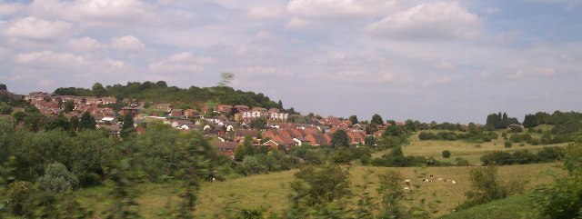
Astwood is a small village located in the county of Worcestershire, England. It is situated approximately 5 miles south of Redditch and 9 miles northeast of Worcester. The village is nestled in a picturesque rural setting, surrounded by beautiful countryside and rolling hills.
Astwood has a long history, with records dating back to the Domesday Book of 1086. The village has retained its traditional charm and character, with a mix of old cottages and more modern houses. The local architecture is predominantly made up of red brick and timber-framed buildings.
The heart of the village is centered around St. Peter's Church, which dates back to the 13th century and is a prominent landmark. The church is surrounded by a peaceful churchyard, providing a tranquil spot for reflection.
Despite its small size, Astwood offers a range of amenities for its residents. There is a village hall that hosts various community events and gatherings. Additionally, there is a popular local pub, which serves as a social hub for both locals and visitors.
The surrounding countryside provides ample opportunities for outdoor activities such as walking, cycling, and horse riding. Astwood Bank, a nearby village, offers more extensive amenities including shops, schools, and recreational facilities.
Overall, Astwood is a charming village, known for its scenic beauty, historic architecture, and close-knit community. It offers a peaceful and idyllic setting for residents and visitors alike.
If you have any feedback on the listing, please let us know in the comments section below.
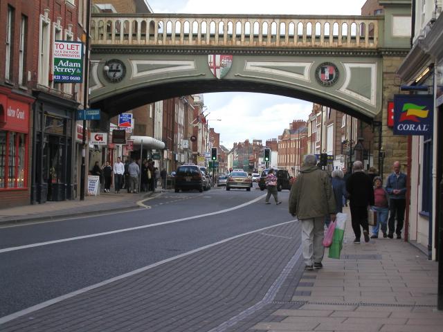
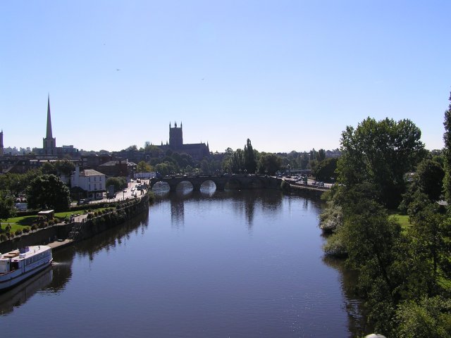
Astwood Images
Images are sourced within 2km of 52.209205/-2.207049 or Grid Reference SO8556. Thanks to Geograph Open Source API. All images are credited.


Astwood is located at Grid Ref: SO8556 (Lat: 52.209205, Lng: -2.207049)
Administrative County: Worcestershire
District: Worcester
Police Authority: West Mercia
What 3 Words
///vibes.wings.worker. Near Worcester, Worcestershire
Nearby Locations
Related Wikis

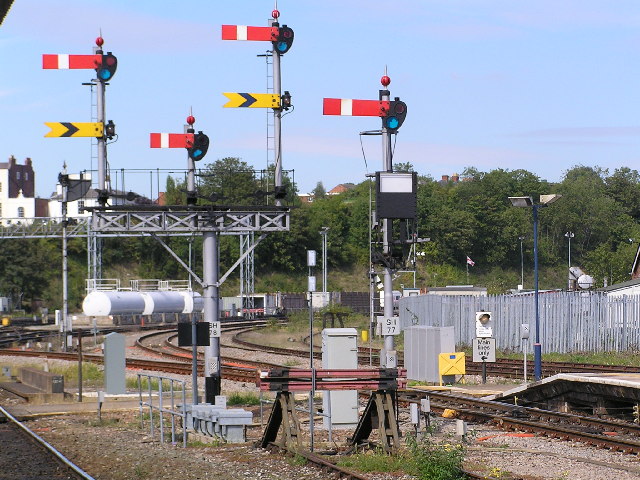
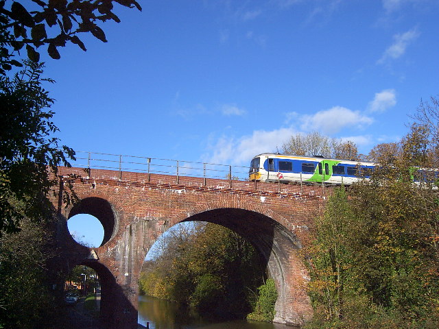
Astwood Halt railway station
Astwood Halt railway station was a station in Worcester, Worcestershire, England. The station was opened in 1936 and closed in 1940. == References ==
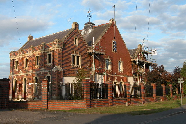
Tudor Grange Academy, Worcester
Tudor Grange Academy Worcester is a mixed secondary school in Worcester, Worcestershire, England. It occupies the site of the former Elgar Technology College...
Elgar Technology College
Elgar Technology College was a secondary school in Worcester, Worcestershire, England, that was formed in 1983 and closed in 2009. It was a co-educational...
RAF Worcester
Royal Air Force Worcester, or more simply RAF Worcester, is a former Royal Air Force relief landing ground (RLG) which was located 1.7 miles (2.7 km) north...
Bishop Perowne Church of England College
Bishop Perowne CE College is a Church of England secondary school with academy status located in Worcester, Worcestershire, England. It is a co-educational...
Free Radio Herefordshire & Worcestershire
Free Radio Herefordshire & Worcestershire (formerly Radio Wyvern) is an Independent Local Radio station owned and operated by Bauer as part of the Hits...

Worcester (UK Parliament constituency)
Worcester is a borough constituency represented in the House of Commons of the Parliament of the United Kingdom. Since 1885 it has elected one Member of...
Blackpole Halt railway station
Blackpole Halt railway station was a station to the north of Worcester, Worcestershire, England. The station was opened during World War I to serve a nearby...
Nearby Amenities
Located within 500m of 52.209205,-2.207049Have you been to Astwood?
Leave your review of Astwood below (or comments, questions and feedback).