Barrenleys Wood

Wood, Forest in Essex Basildon

England

Barrenleys Wood

Grazing, Pump Hill
Grazing, Pump Hill Credit: JThomas

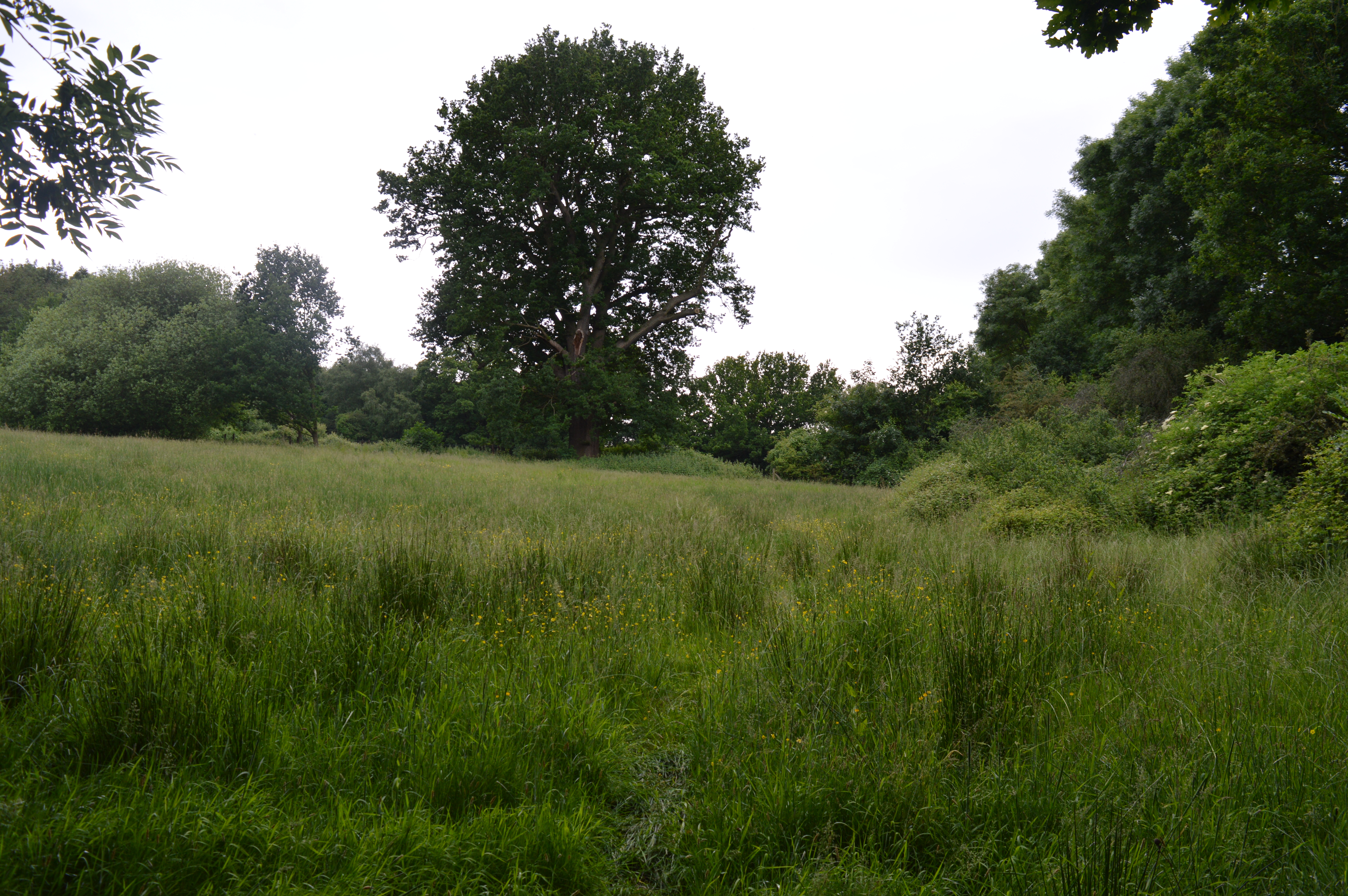
Barrenleys Wood is a small woodland located in Essex, England. Covering an area of approximately 20 acres, it is situated in the rural countryside, making it a popular destination for nature enthusiasts and hikers. The wood is characterized by its diverse range of trees, including oak, beech, and birch, which create a dense canopy overhead.

The woodland floor is covered with a thick layer of leaf litter, providing a habitat for various woodland creatures such as rabbits, squirrels, and foxes. Additionally, the wood is home to a variety of bird species, including woodpeckers, owls, and thrushes, making it a great spot for birdwatching.

Barrenleys Wood is intersected by a network of well-maintained footpaths, allowing visitors to explore its beauty and tranquility. The paths wind through the trees, leading to an open clearing where visitors can relax and enjoy a picnic amidst nature. There is also a small stream that meanders through the wood, providing a peaceful ambiance.

The wood is managed by a local conservation organization, ensuring the preservation of its natural beauty and biodiversity. They undertake regular maintenance activities, such as tree planting and removal of invasive species, to maintain the health and vitality of the woodland ecosystem.

Overall, Barrenleys Wood offers a serene and picturesque escape from the hustle and bustle of urban life. Its lush vegetation, diverse wildlife, and well-maintained paths make it a favorite destination for nature lovers and outdoor enthusiasts alike.

If you have any feedback on the listing, please let us know in the comments section below.

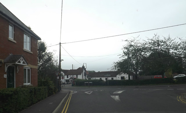
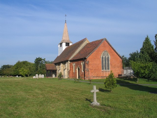
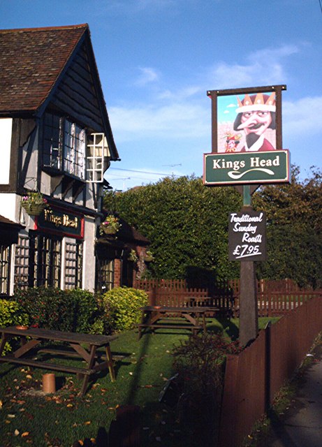
Barrenleys Wood Images

Images are sourced within 2km of 51.622111/0.45883882 or Grid Reference TQ7094. Thanks to Geograph Open Source API. All images are credited.

Grazing, Pump Hill
Grazing, Pump Hill
Parsonage Farm Ford This ford at Parsonage Farm is found on the track behind the church.
Parsonage Farm Ford
This ford at Parsonage Farm is found on the track behind the church.
Dowsetts Lane, Ramsden Heath At the junction with Heath & Downham Roads
Dowsetts Lane, Ramsden Heath
At the junction with Heath & Downham Roads
Church Road, Ramsden Heath Near the Fox & Hounds Public House
Church Road, Ramsden Heath
Near the Fox & Hounds Public House
Church Road & Railway Bridge
Church Road Railway Bridge
Ramsden Bellhouse Village sign Off Church Road near the Church of St.Mary the Virgin
Ramsden Bellhouse Village sign
Off Church Road near the Church of St.Mary the Virgin
Ramsden Bellhouse Village sign Off Church Road near the Church of St.Mary the Virgin
(Close up)
Ramsden Bellhouse Village sign
Off Church Road near the Church of St.Mary the Virgin (Close up)
Church Road, Ramsden Bellhouse At the entrance to St.Mary the Virgin Church
Church Road, Ramsden Bellhouse
At the entrance to St.Mary the Virgin Church
Church of St.Mary the Virgin, Ramsden Bellhouse Off Church Road
<span class="nowrap"><a title="http://www.ramsdenbellhouse.info/history/article_2.html" rel="nofollow ugc noopener" href="http://www.ramsdenbellhouse.info/history/article_2.html">Link</a><img style="margin-left:2px;" alt="External link" title="External link - shift click to open in new window" src="https://s1.geograph.org.uk/img/external.png" width="10" height="10"/></span>
Church of St.Mary the Virgin, Ramsden Bellhouse
Off Church Road LinkExternal link
Church of St.Mary the Virgin, Ramsden Bellhouse Off Church Road
(Close up)
<span class="nowrap"><a title="http://www.ramsdenbellhouse.info/history/article_2.html" rel="nofollow ugc noopener" href="http://www.ramsdenbellhouse.info/history/article_2.html">Link</a><img style="margin-left:2px;" alt="External link" title="External link - shift click to open in new window" src="https://s1.geograph.org.uk/img/external.png" width="10" height="10"/></span>
Church of St.Mary the Virgin, Ramsden Bellhouse
Off Church Road (Close up) LinkExternal link
Church of St.Mary the Virgin, Ramsden Bellhouse Off Church Road
<span class="nowrap"><a title="http://www.ramsdenbellhouse.info/history/article_2.html" rel="nofollow ugc noopener" href="http://www.ramsdenbellhouse.info/history/article_2.html">Link</a><img style="margin-left:2px;" alt="External link" title="External link - shift click to open in new window" src="https://s1.geograph.org.uk/img/external.png" width="10" height="10"/></span>
Church of St.Mary the Virgin, Ramsden Bellhouse
Off Church Road LinkExternal link
Church Road, Ramsden Bellhouse Near the Church of St.Mary the Virgin
Church Road, Ramsden Bellhouse
Near the Church of St.Mary the Virgin
Ramsden Bellhouse Village sign & St.Mary the Virgin Church Notice Board Off Church Road
<span class="nowrap"><a title="http://www.ramsdenbellhouse.info/history/article_2.html" rel="nofollow ugc noopener" href="http://www.ramsdenbellhouse.info/history/article_2.html">Link</a><img style="margin-left:2px;" alt="External link" title="External link - shift click to open in new window" src="https://s1.geograph.org.uk/img/external.png" width="10" height="10"/></span>
Ramsden Bellhouse Village sign & St.Mary the Virgin Church Notice Board
Off Church Road LinkExternal link
St.Mary the Virgin Church sign Off Church Road
<span class="nowrap"><a title="http://www.ramsdenbellhouse.info/history/article_2.html" rel="nofollow ugc noopener" href="http://www.ramsdenbellhouse.info/history/article_2.html">Link</a><img style="margin-left:2px;" alt="External link" title="External link - shift click to open in new window" src="https://s1.geograph.org.uk/img/external.png" width="10" height="10"/></span>
St.Mary the Virgin Church sign
Off Church Road LinkExternal link
Seat off Church Road Near the Church of St.Mary the Virgin
Seat off Church Road
Near the Church of St.Mary the Virgin
Ramsden Bellhouse Village sign Off Church Road near the Church of St.Mary the Virgin
Ramsden Bellhouse Village sign
Off Church Road near the Church of St.Mary the Virgin
St.Mary the Virgin Churchyard Off Church Road
<span class="nowrap"><a title="http://www.ramsdenbellhouse.info/history/article_2.html" rel="nofollow ugc noopener" href="http://www.ramsdenbellhouse.info/history/article_2.html">Link</a><img style="margin-left:2px;" alt="External link" title="External link - shift click to open in new window" src="https://s1.geograph.org.uk/img/external.png" width="10" height="10"/></span>
St.Mary the Virgin Churchyard
Off Church Road LinkExternal link
Show me another place!

Barrenleys Wood is located at Grid Ref: TQ7094 (Lat: 51.622111, Lng: 0.45883882)

Administrative County: Essex

District: Basildon

Police Authority: Essex

What 3 Words

///boring.stop.pretty. Near Billericay, Essex

Related Wikis

Ramsden Bellhouse

Ramsden Bellhouse is a village and civil parish in Essex in the east of England. It is in the Borough of Basildon and in the parliamentary constituency...

Ramsden Heath

Ramsden Heath is a village in Essex in the east of England. It is located approximately 8 mi (13 km) south of the county town of Chelmsford; the closest...

Norsey Wood

Norsey Wood is a 67.2-hectare (166-acre) biological Site of Special Scientific Interest in Billericay, Essex. It is also a Local Nature Reserve and a Scheduled...

Great Burstead

Great Burstead is an urban settlement and former civil parish, now in the parish of Great Burstead and South Green, in the Basildon district, in Essex...

Mill Meadows, Billericay

Mill Meadows, Billericay is a 6.7-hectare (17-acre) biological Site of Special Scientific Interest (SSSI) in Billericay in Essex, England. It is part of...

Crays Hill

Crays Hill is a village in the Basildon borough of Essex, England. The River Crouch passes under Church Lane.The village was listed in Domesday Book of...

Barleylands Farm Museum

Barleylands Farm Park and Craft Village is located in Barleylands, Billericay, Essex. It has a wide range of farm animals, indoor play, outdoor play, tractor...

Burstead Grange

Burstead Grange was a priory in Essex, England. == References ==

Nearby Amenities

Located within 500m of 51.622111,0.45883882
Power: pole
Lat/Long: 51.6212985/0.4562922
Power: pole
Lat/Long: 51.6218317/0.4524297
Power: pole
Lat/Long: 51.6207812/0.4637029
Power: pole
Lat/Long: 51.6216069/0.4549857
Power: pole
Lat/Long: 51.6211956/0.4552405
Power: pole
Lat/Long: 51.6196131/0.4648001
Power: pole
Lat/Long: 51.6205311/0.4580836
Power: pole
Lat/Long: 51.6207756/0.4602297
Power: pole
Lat/Long: 51.6215669/0.4535535
Power: pole
Lat/Long: 51.6215466/0.4641108
Power: pole
Lat/Long: 51.6208805/0.4626356
Power: pole
Lat/Long: 51.6210041/0.4575794
Power: pole
Lat/Long: 51.6206977/0.4610609
Power: pole
Lat/Long: 51.6205992/0.4596089
Power: pole
Lat/Long: 51.6208376/0.4615598
Power: pole
Lat/Long: 51.6209133/0.4637675
Power: pole
Lat/Long: 51.6234566/0.4651006
Power: pole
Lat/Long: 51.6222793/0.4644997
Power: pole
Lat/Long: 51.6203208/0.4642235
Power: pole
Lat/Long: 51.6207425/0.4625012
Power: pole
Lat/Long: 51.6223121/0.4519619
Power: pole
Lat/Long: 51.6207023/0.4588617
Power: pole
Lat/Long: 51.6208759/0.4566755
Power: pole
Lat/Long: 51.6219408/0.4536004
Power: pole
Lat/Long: 51.6229937/0.4648538
Power: pole
Lat/Long: 51.6235124/0.4655816
Skirmish Paintball Essex
Addr City: Billericay
Addr Housename: Skirmish Wood
Addr Postcode: CM11 2TX
Addr Street: Outwood Farm Road
Website: https://www.skirmish.co.uk/
Lat/Long: 51.6234683/0.4527873
Hill 60
Lat/Long: 51.6236664/0.4568126
Helipad
Lat/Long: 51.6215777/0.4573894
Village
Lat/Long: 51.6224938/0.4578759
Green Zone (CQB)
Lat/Long: 51.6222367/0.4592712
Missile
Lat/Long: 51.6214712/0.4587949
Bridge 1
Lat/Long: 51.6229199/0.4602004
Bridge 2
Lat/Long: 51.6223996/0.4603234
Bridge 3
Lat/Long: 51.6216678/0.4604927
Hotel 49
Lat/Long: 51.6215011/0.4625224
The data included in this document is from www.openstreetmap.org. The data is made available under ODbL.

Have you been to Barrenleys Wood?

Leave your review of Barrenleys Wood below (or comments, questions and feedback).