Crays Wood
Wood, Forest in Essex Chelmsford
England
Crays Wood

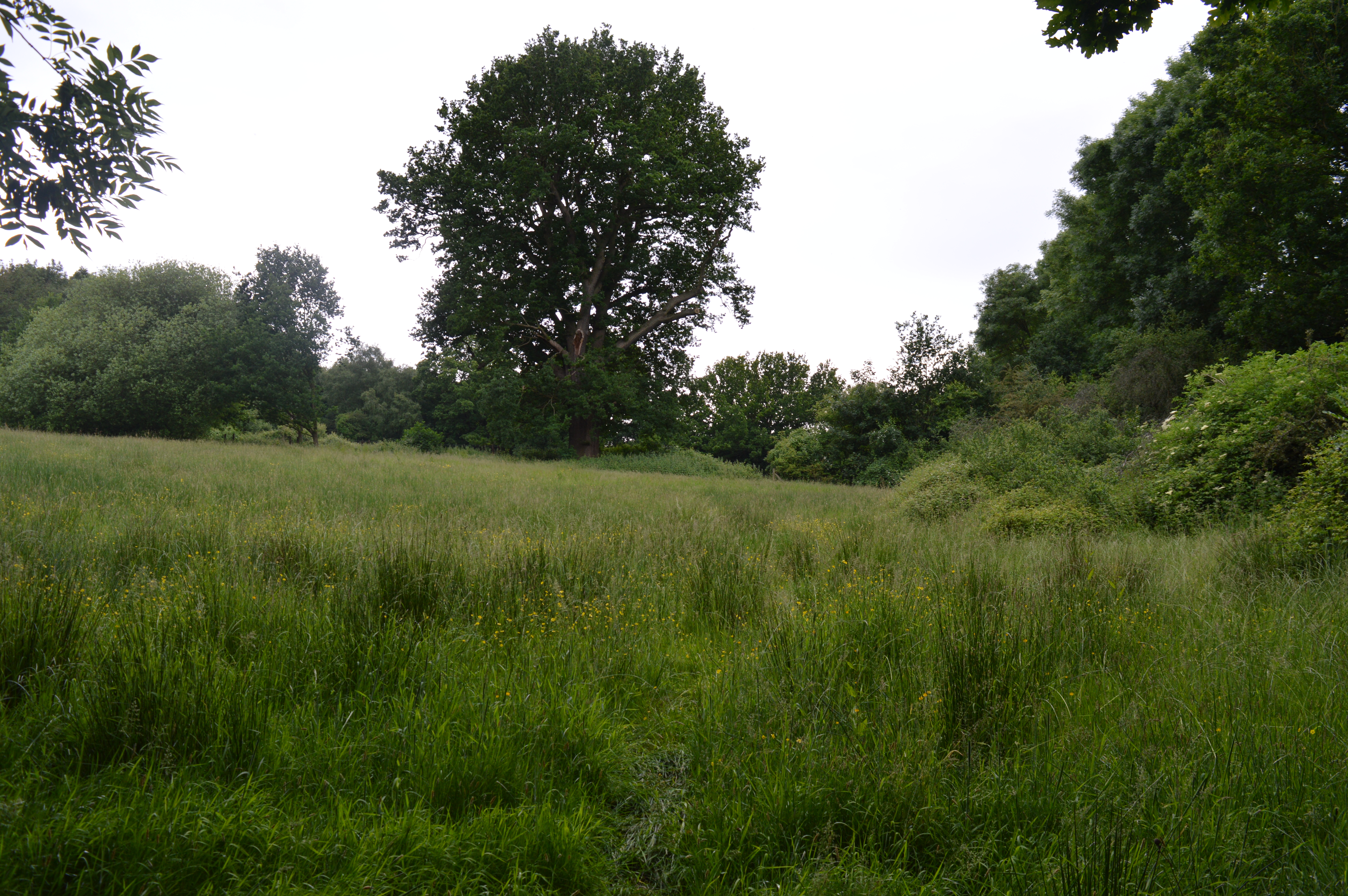
Cray's Wood is a charming woodland area located in Essex, England. Covering an area of approximately 50 hectares, it is part of the larger Epping Forest district and is known for its natural beauty and tranquility. The wood is named after the nearby River Cray, which flows through the area.
The woodland is predominantly made up of a mixture of broadleaf trees, including oak, beech, and hornbeam, which form a dense canopy and provide a habitat for a wide variety of wildlife. Visitors to Cray's Wood can expect to encounter numerous bird species, such as woodpeckers, warblers, and owls, along with small mammals like squirrels, foxes, and hedgehogs.
The wood is crisscrossed by a network of walking trails, making it a popular spot for nature enthusiasts and walkers alike. The paths meander through the wood, offering picturesque views of the surrounding countryside and the river. The tranquil atmosphere and the soothing sounds of nature make it an ideal place for relaxation and reflection.
Cray's Wood has a rich history, with evidence of human habitation dating back thousands of years. Archaeological finds suggest that the area was used by ancient settlers as a source of food, shelter, and hunting grounds. Today, the wood is managed and protected by the local authorities, ensuring its preservation for future generations to enjoy.
Overall, Cray's Wood is a cherished natural retreat, offering a peaceful escape from the hustle and bustle of modern life. Its diverse flora and fauna, coupled with its scenic beauty and historical significance, make it a true gem of Essex.
If you have any feedback on the listing, please let us know in the comments section below.
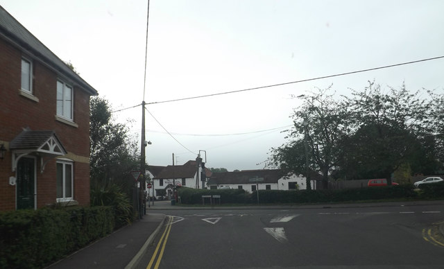
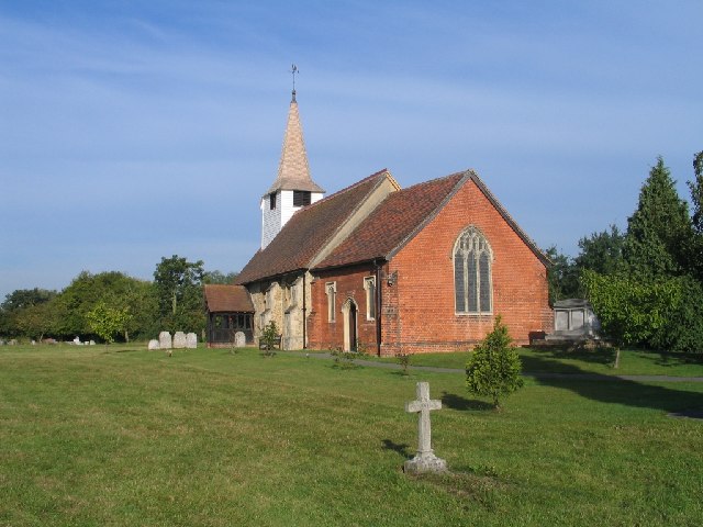
Crays Wood Images
Images are sourced within 2km of 51.626351/0.4560627 or Grid Reference TQ7094. Thanks to Geograph Open Source API. All images are credited.


Crays Wood is located at Grid Ref: TQ7094 (Lat: 51.626351, Lng: 0.4560627)
Administrative County: Essex
District: Chelmsford
Police Authority: Essex
What 3 Words
///client.hips.letter. Near Billericay, Essex
Nearby Locations
Related Wikis

Norsey Wood
Norsey Wood is a 67.2-hectare (166-acre) biological Site of Special Scientific Interest in Billericay, Essex. It is also a Local Nature Reserve and a Scheduled...

Ramsden Heath
Ramsden Heath is a village in Essex in the east of England. It is located approximately 8 mi (13 km) south of the county town of Chelmsford; the closest...
Ramsden Bellhouse
Ramsden Bellhouse is a village and civil parish in Essex in the east of England. It is in the Borough of Basildon and in the parliamentary constituency...
Mill Meadows, Billericay
Mill Meadows, Billericay is a 6.7-hectare (17-acre) biological Site of Special Scientific Interest (SSSI) in Billericay in Essex, England. It is part of...

Mayflower High School
Mayflower High School, founded in 1965, and named after the Mayflower ship, is a coeducational, secondary school located in Billericay, Essex in the East...
St John's School, Billericay
St John's School is an independent school in Billericay, Essex for students aged 3–16. The school is split into Kindergarten, Junior and Senior School...
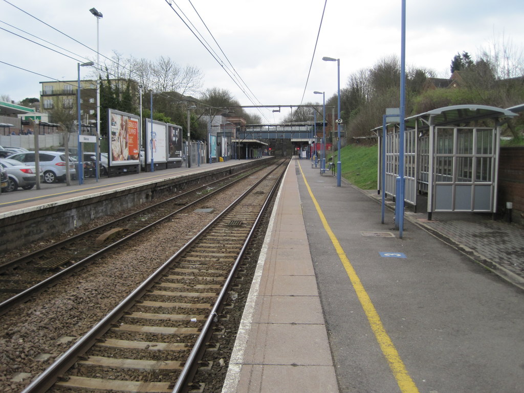
Billericay railway station
Billericay railway station is on the Shenfield to Southend Line in the east of England, serving the town of Billericay in the Basildon district of the...
Great Burstead
Great Burstead is an urban settlement and former civil parish, now in the parish of Great Burstead and South Green, in the Basildon district, in Essex...
Nearby Amenities
Located within 500m of 51.626351,0.4560627Have you been to Crays Wood?
Leave your review of Crays Wood below (or comments, questions and feedback).