Ashholt Plantation
Wood, Forest in Norfolk King's Lynn and West Norfolk
England
Ashholt Plantation
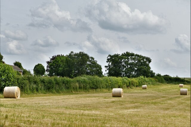
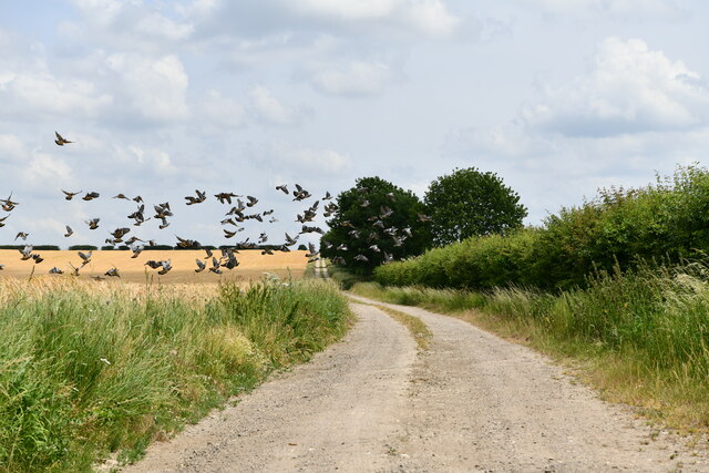
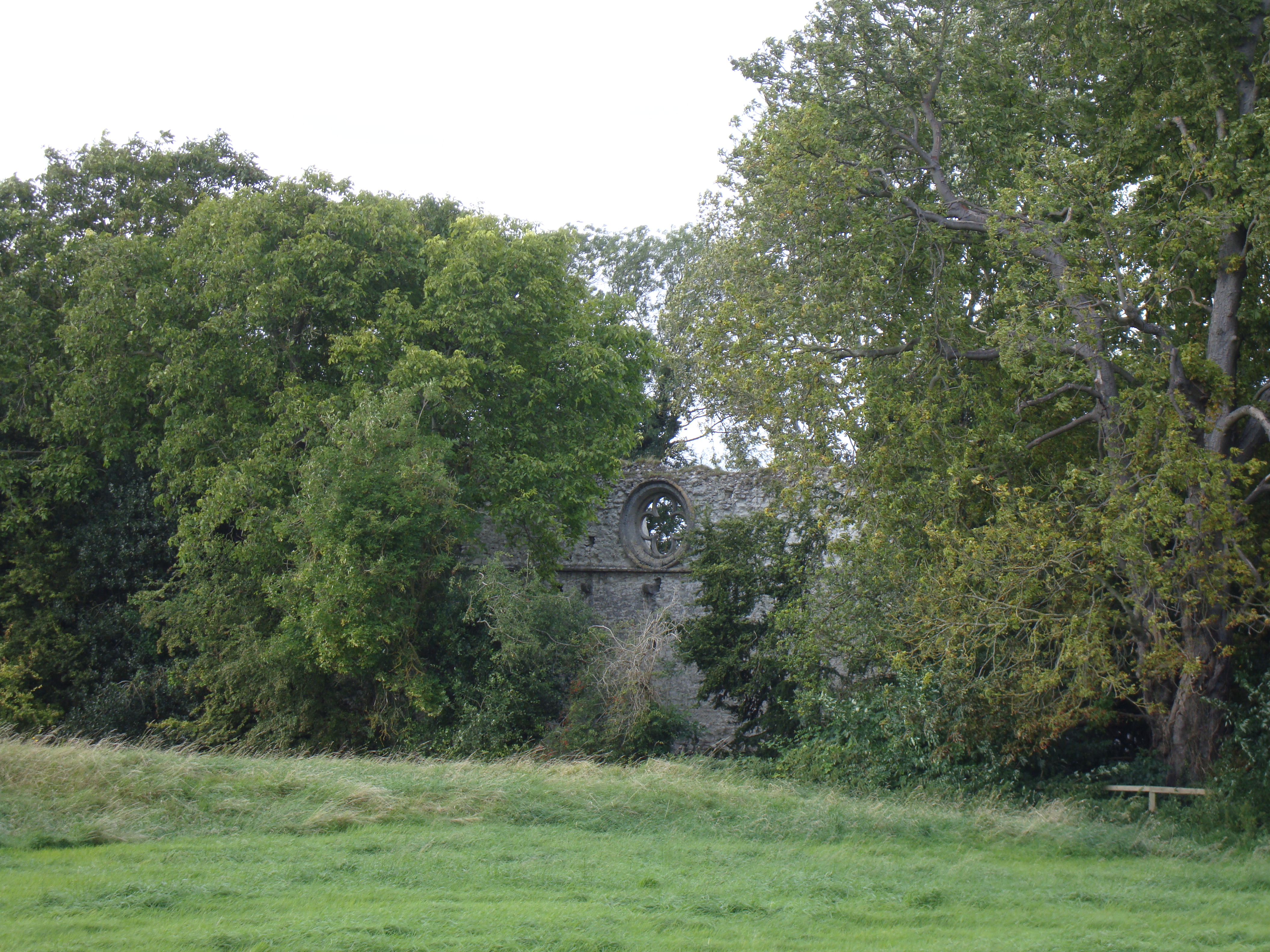
Ashholt Plantation is a picturesque woodland located in Norfolk, England. Covering an area of approximately 200 acres, this enchanting forest is known for its natural beauty and diverse ecosystem. The plantation is nestled in the heart of the Norfolk countryside, making it a popular destination for nature lovers and outdoor enthusiasts.
Ashholt Plantation boasts a rich variety of tree species, including oak, beech, birch, and pine. The forest floor is adorned with a carpet of wildflowers, adding to the area's charm and beauty. The plantation is also home to numerous wildlife species, such as deer, squirrels, and a wide variety of bird species, making it a haven for birdwatchers and wildlife enthusiasts.
Walking trails meander through Ashholt Plantation, providing visitors with the opportunity to explore its natural wonders. These paths lead to hidden gems within the forest, including tranquil ponds and babbling brooks. The plantation also offers picnic areas and benches, allowing visitors to take a break and soak in the serenity of their surroundings.
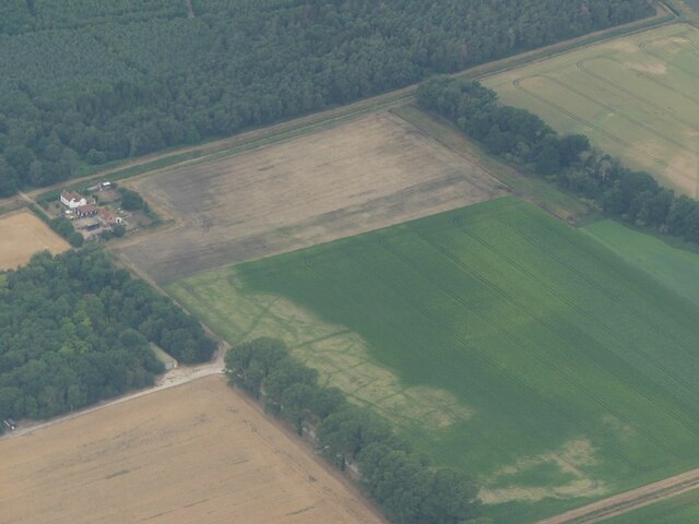
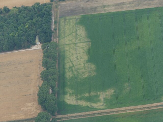
In addition to its natural beauty, Ashholt Plantation holds historical significance. The forest has been managed and preserved by local authorities for generations, with records dating back to the 18th century. This makes it not only a place of beauty but also a living testament to the area's rich heritage.
Overall, Ashholt Plantation is a must-visit destination for those seeking a peaceful retreat in the heart of nature. Its stunning landscapes, diverse wildlife, and rich history make it a true gem in the Norfolk countryside.
If you have any feedback on the listing, please let us know in the comments section below.
Ashholt Plantation Images
Images are sourced within 2km of 52.662867/0.51377141 or Grid Reference TF7010. Thanks to Geograph Open Source API. All images are credited.


Ashholt Plantation is located at Grid Ref: TF7010 (Lat: 52.662867, Lng: 0.51377141)
Administrative County: Norfolk
District: King's Lynn and West Norfolk
Police Authority: Norfolk
What 3 Words
///keen.quietest.civic. Near Narborough, Norfolk
Nearby Locations
Related Wikis
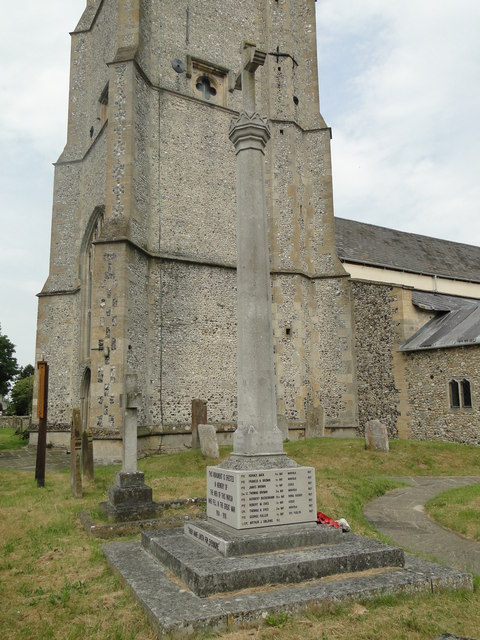
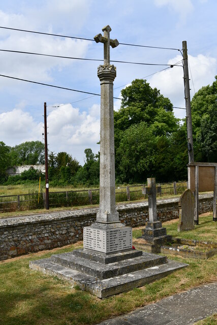
Marham Abbey
Marham Abbey was situated in the village of Marham, southeast of King's Lynn, Norfolk, England. It was founded by Isabel, Countess of Arundel, in 1249...

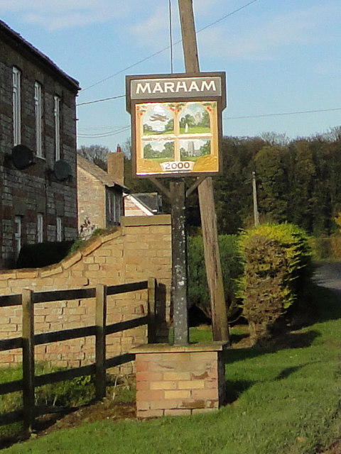
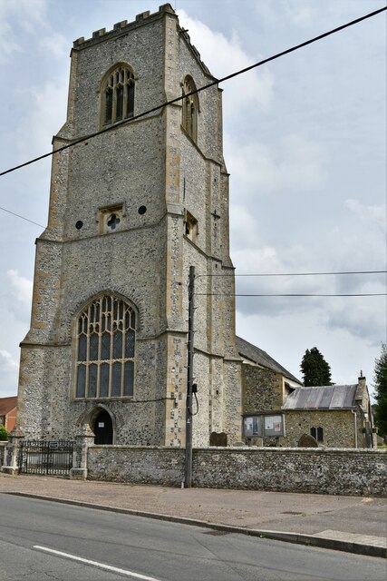
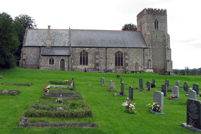
Marham
Marham is a village and civil parish in the English county of Norfolk, approximate 12 miles (19 km) away from King's Lynn. An RAF station, RAF Marham,...
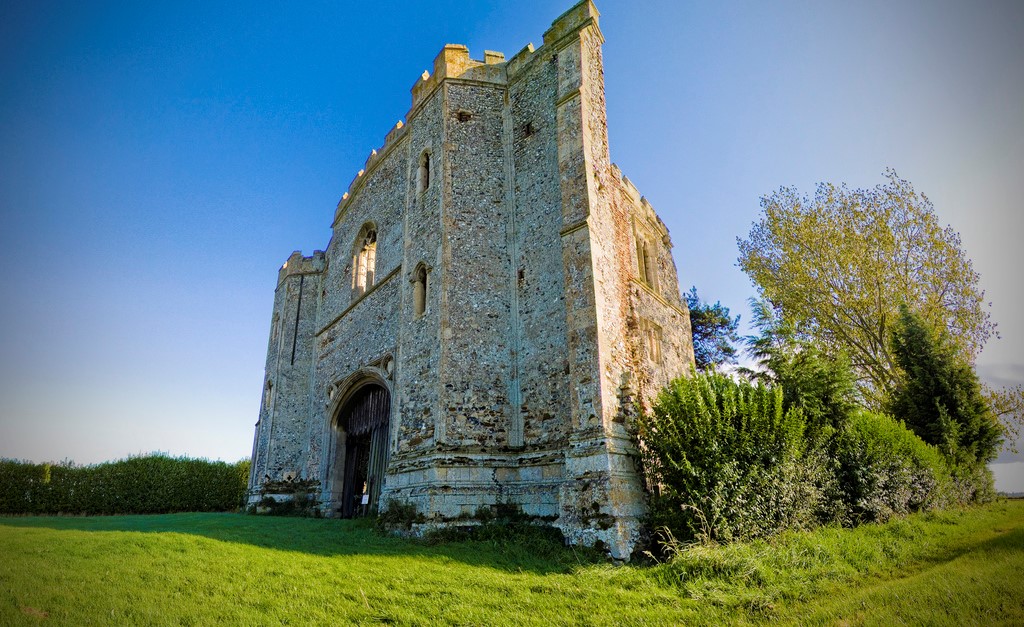
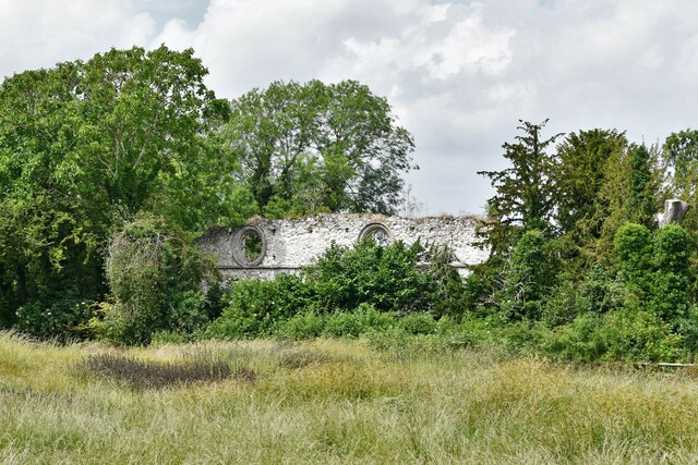
Pentney Priory
Pentney Priory was an Augustinian priory at Pentney in the district of King's Lynn and West Norfolk, Norfolk, England. The ruins of the priory, mostly...
Shouldham
Shouldham is a village and civil parish in the English county of Norfolk. It covers an area of 16.04 km2 (6.19 sq mi) and had a population of 608 in 246...

RAF Marham
Royal Air Force Marham, commonly abbreviated RAF Marham (IATA: KNF, ICAO: EGYM) is a Royal Air Force station and military airbase near the village of Marham...

Narborough Bone Mill
Narborough Bone Mill was a watermill that operated on the River Nar in the west of the English county of Norfolk. The watermill was 1 mile (1.6 km) downstream...

Fincham
Fincham is a village and civil parish the English county of Norfolk. The village is located 9.4 miles (15.1 km) south of King's Lynn and 34 miles (55 km...
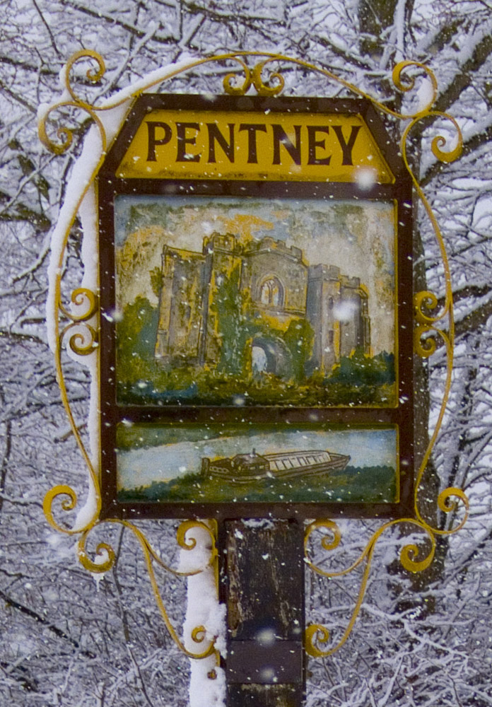
Pentney
Pentney is a village and civil parish in the English county of Norfolk, located about 8 miles (13 km) south east of King's Lynn placing it about halfway...
Have you been to Ashholt Plantation?
Leave your review of Ashholt Plantation below (or comments, questions and feedback).