Fishpond Plantation
Wood, Forest in Norfolk King's Lynn and West Norfolk
England
Fishpond Plantation

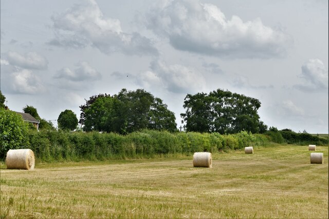
Fishpond Plantation is a historic woodland located in Norfolk, England. Situated in the heart of the county, this vast woodland spans over hundreds of acres and is known for its dense forest and thriving wildlife. The plantation primarily consists of a mix of deciduous and coniferous trees, creating a diverse and picturesque landscape.
One of the most notable features of Fishpond Plantation is its namesake - several large fishponds that were created centuries ago. These ponds were initially used for fish farming and provided a sustainable source of food for the local community. Today, they serve as a habitat for various aquatic species, including fish, frogs, and waterfowl.
The woodland is a haven for nature enthusiasts and offers numerous scenic walking trails that meander through the trees. Visitors can explore the plantation's well-maintained paths and enjoy the tranquil atmosphere as they take in the beauty of the surrounding woodland. It is not uncommon to spot a variety of bird species, such as woodpeckers, owls, and songbirds, as well as small mammals like squirrels and rabbits.
Fishpond Plantation holds historical significance as well. The site has been used for various purposes throughout the years, including timber production and charcoal making. The remnants of these activities can still be seen in the form of old charcoal kilns and logging tracks, adding an intriguing element to the woodland's ambiance.
Overall, Fishpond Plantation in Norfolk is a natural gem that offers a peaceful retreat from the hustle and bustle of city life. Its diverse flora and fauna, combined with its rich history, make it a must-visit destination for nature lovers and history enthusiasts alike.
If you have any feedback on the listing, please let us know in the comments section below.
Fishpond Plantation Images
Images are sourced within 2km of 52.653839/0.51628452 or Grid Reference TF7009. Thanks to Geograph Open Source API. All images are credited.


Fishpond Plantation is located at Grid Ref: TF7009 (Lat: 52.653839, Lng: 0.51628452)
Administrative County: Norfolk
District: King's Lynn and West Norfolk
Police Authority: Norfolk
What 3 Words
///dime.roughest.next. Near Narborough, Norfolk
Nearby Locations
Related Wikis
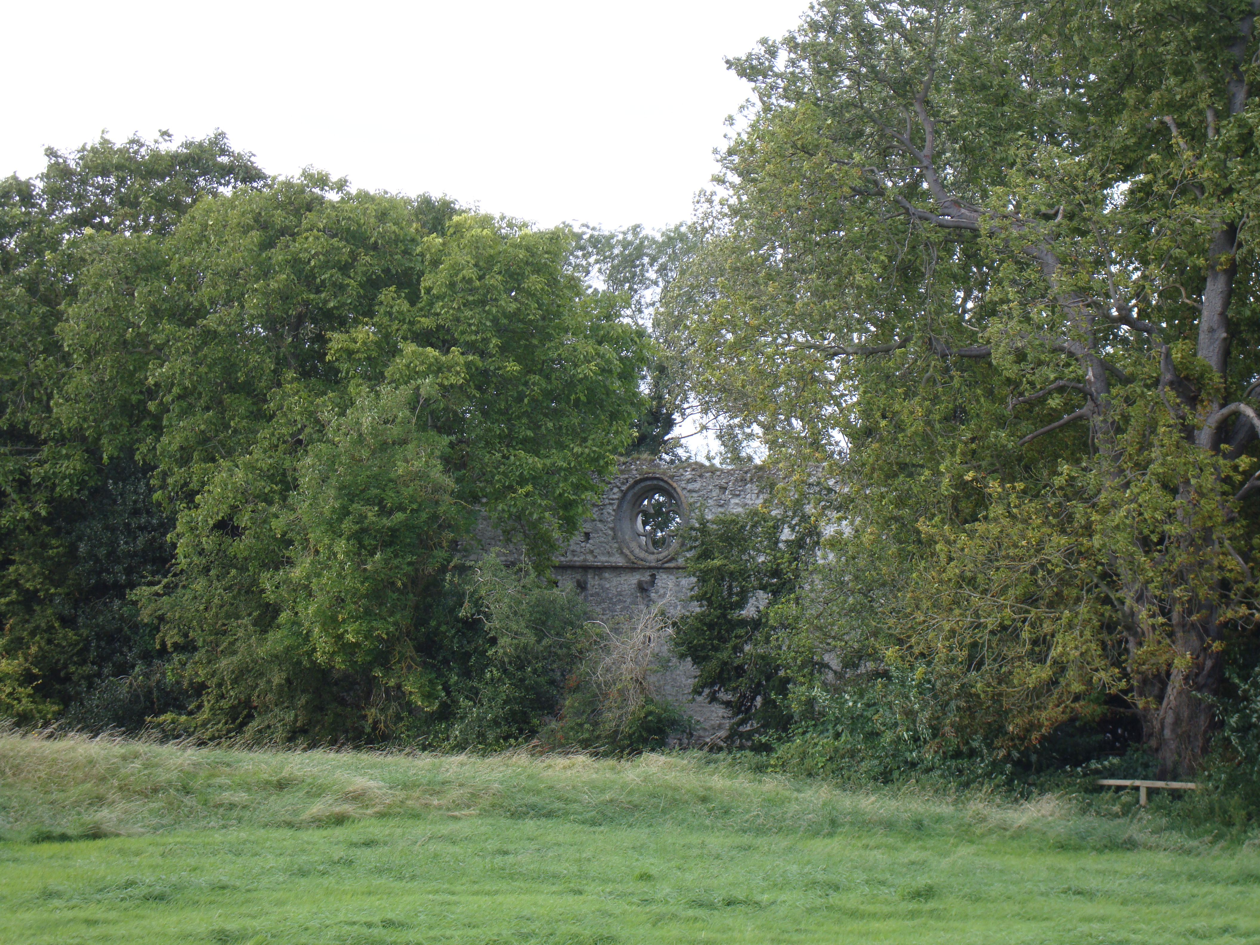
Marham Abbey
Marham Abbey was situated in the village of Marham, southeast of King's Lynn, Norfolk, England. It was founded by Isabel, Countess of Arundel, in 1249...

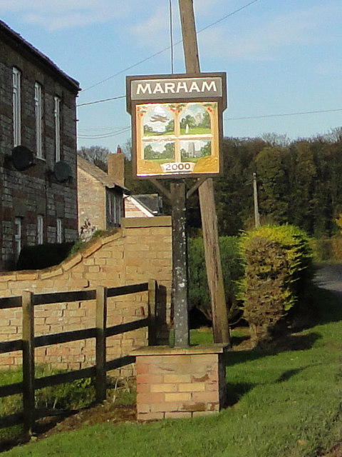
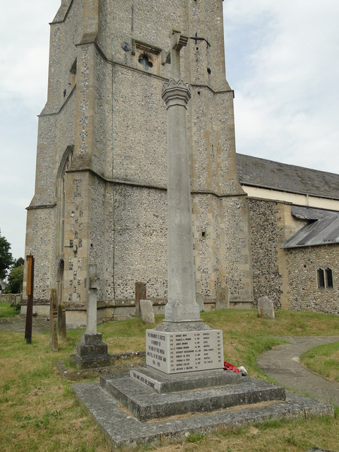
Marham
Marham is a village and civil parish in the English county of Norfolk, approximate 12 miles (19 km) away from King's Lynn. An RAF station, RAF Marham,...

RAF Marham
Royal Air Force Marham, commonly abbreviated RAF Marham (IATA: KNF, ICAO: EGYM) is a Royal Air Force station and military airbase near the village of Marham...
Shouldham
Shouldham is a village and civil parish in the English county of Norfolk. It covers an area of 16.04 km2 (6.19 sq mi) and had a population of 608 in 246...
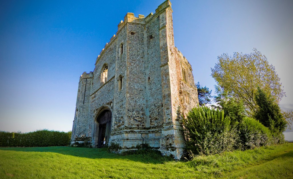
Pentney Priory
Pentney Priory was an Augustinian priory at Pentney in the district of King's Lynn and West Norfolk, Norfolk, England. The ruins of the priory, mostly...

Fincham
Fincham is a village and civil parish the English county of Norfolk. The village is located 9.4 miles (15.1 km) south of King's Lynn and 34 miles (55 km...

Barton Bendish
Barton Bendish is a civil parish and small ancient village in the English county of Norfolk located 10 miles (16 km) south of King's Lynn and 90 miles...
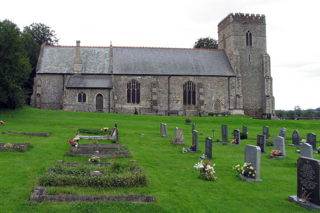
St Andrew's Church, Barton Bendish
St Andrew's Church is a medieval Anglican parish church in the village of Barton Bendish, Norfolk, England. This village used to have two more parish churches...
Nearby Amenities
Located within 500m of 52.653839,0.51628452Have you been to Fishpond Plantation?
Leave your review of Fishpond Plantation below (or comments, questions and feedback).