Brown's Covert
Wood, Forest in Norfolk King's Lynn and West Norfolk
England
Brown's Covert
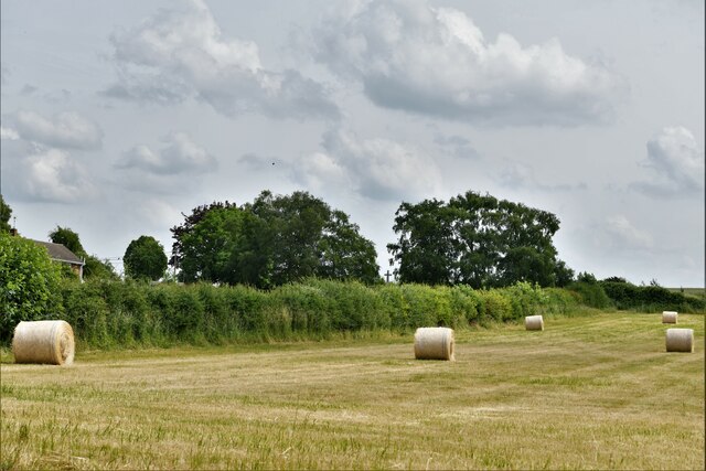
Brown's Covert is a picturesque woodland located in Norfolk, England. Nestled within the heart of the county, this enchanting forest is a hidden gem that attracts nature lovers and outdoor enthusiasts alike.
Covering an area of approximately 50 acres, Brown's Covert is characterized by its dense woodland, towering mature trees, and diverse wildlife. The forest is predominantly composed of oak and beech trees, which create a lush and verdant canopy that provides a tranquil and serene atmosphere for visitors.
The forest floor is adorned with an array of wildflowers and ferns, adding bursts of color and beauty to the landscape. The woodland is also home to a variety of wildlife, including deer, foxes, rabbits, and a multitude of bird species. Nature enthusiasts can delight in observing these creatures in their natural habitat or capturing breathtaking photographs.
Brown's Covert offers several walking trails, allowing visitors to explore the forest's many wonders. These trails wind through the woodland, offering opportunities to admire the ancient trees, listen to the soothing sounds of birdsong, and discover hidden clearings and meadows. Nature walks in the forest provide a chance to immerse oneself in the peaceful ambiance and experience a sense of tranquility and connection with nature.
The forest is open to the public year-round, providing an escape from the hustle and bustle of everyday life. Whether it's a leisurely stroll, a family picnic, or a bird-watching expedition, Brown's Covert offers a welcoming and idyllic setting for outdoor activities and a chance to reconnect with nature.
If you have any feedback on the listing, please let us know in the comments section below.
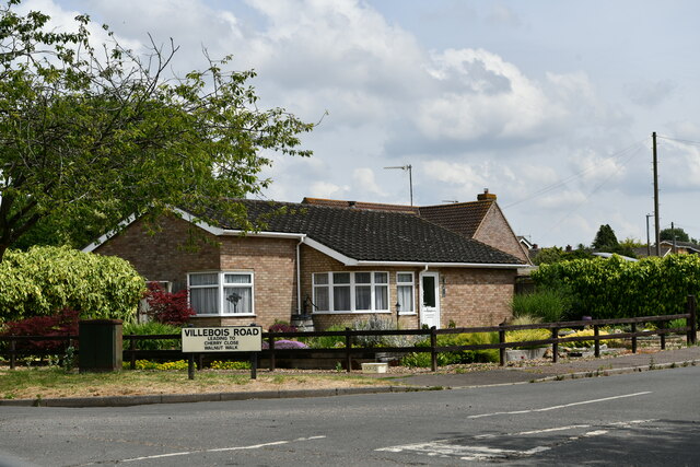
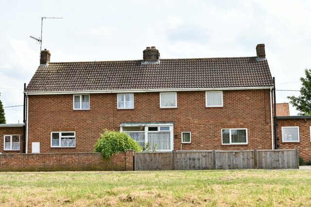
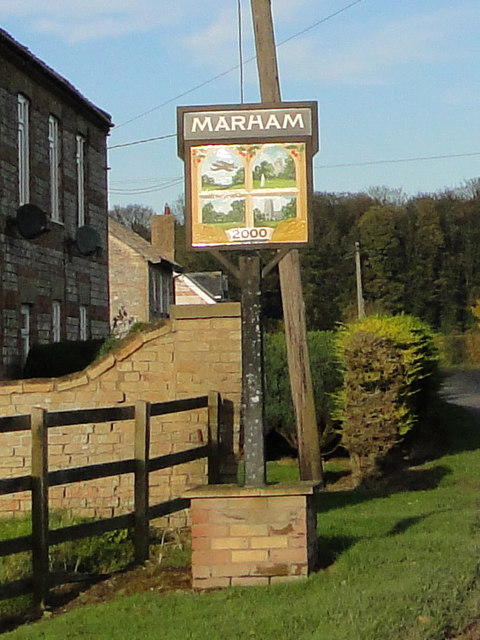
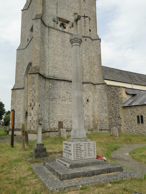
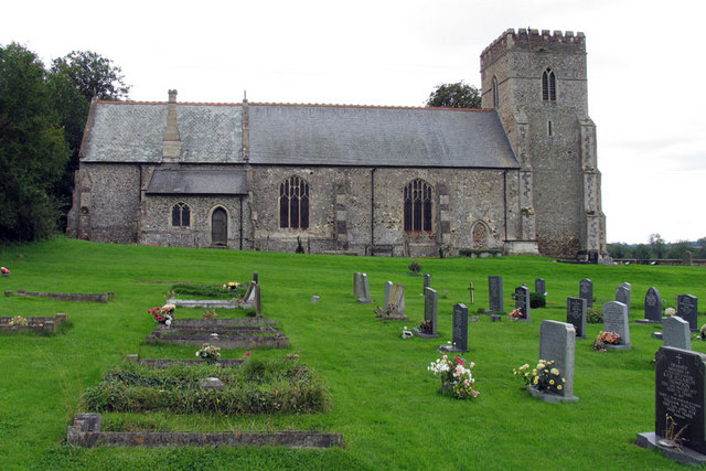
Brown's Covert Images
Images are sourced within 2km of 52.652871/0.51443983 or Grid Reference TF7009. Thanks to Geograph Open Source API. All images are credited.


Brown's Covert is located at Grid Ref: TF7009 (Lat: 52.652871, Lng: 0.51443983)
Administrative County: Norfolk
District: King's Lynn and West Norfolk
Police Authority: Norfolk
What 3 Words
///streak.cook.contracts. Near Narborough, Norfolk
Related Wikis
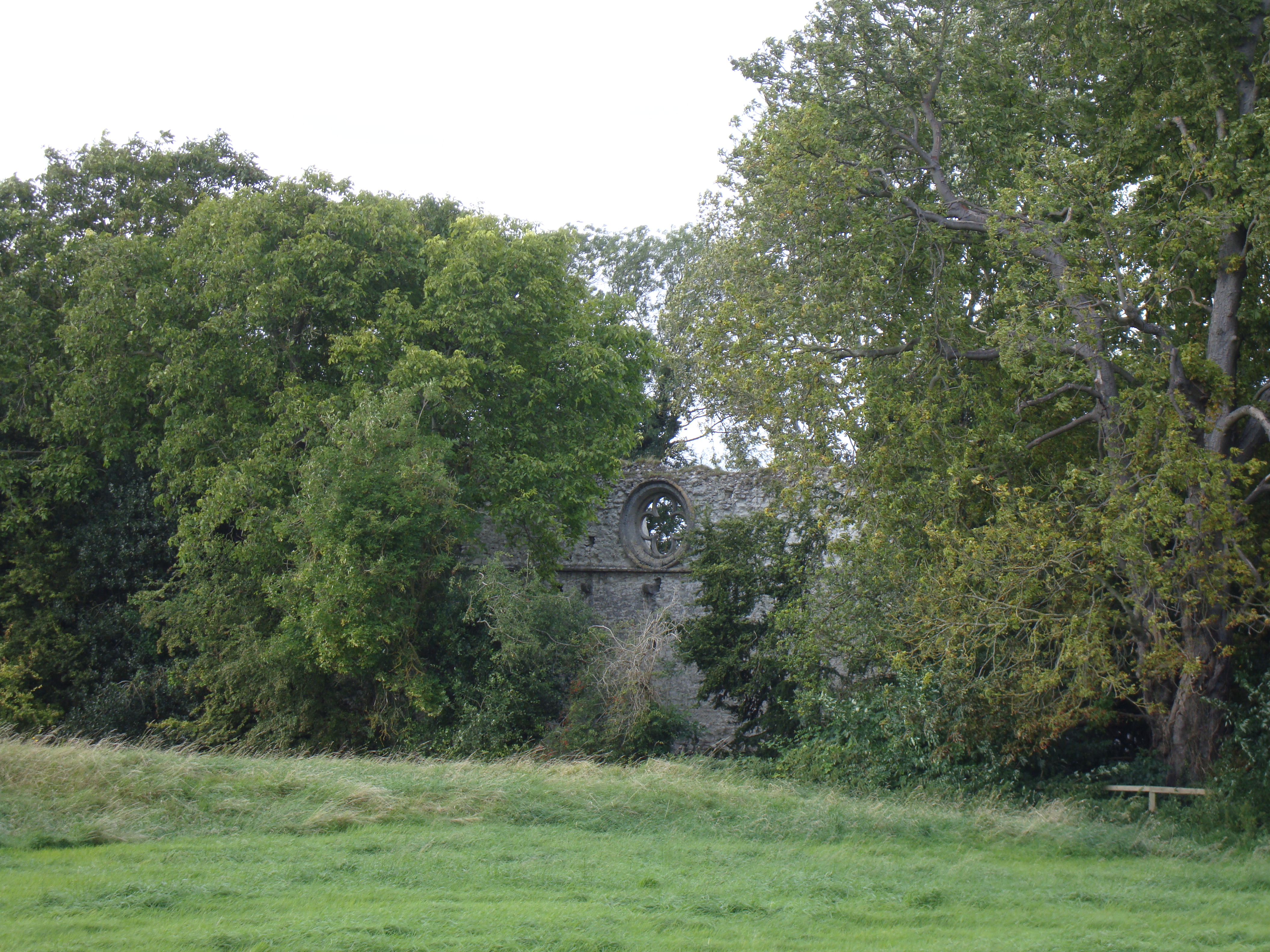
Marham Abbey
Marham Abbey was situated in the village of Marham, southeast of King's Lynn, Norfolk, England. It was founded by Isabel, Countess of Arundel, in 1249...

Marham
Marham is a village and civil parish in the English county of Norfolk, approximate 12 miles (19 km) away from King's Lynn. An RAF station, RAF Marham,...
Shouldham
Shouldham is a village and civil parish in the English county of Norfolk. It covers an area of 16.04 km2 (6.19 sq mi) and had a population of 608 in 246...

RAF Marham
Royal Air Force Marham, commonly abbreviated RAF Marham (IATA: KNF, ICAO: EGYM) is a Royal Air Force station and military airbase near the village of Marham...
Nearby Amenities
Located within 500m of 52.652871,0.51443983Have you been to Brown's Covert?
Leave your review of Brown's Covert below (or comments, questions and feedback).