Round Plantation

Wood, Forest in Suffolk West Suffolk

England

Round Plantation

Newmarket Road, Kentford
Newmarket Road, Kentford Credit: David Howard

Round Plantation is a picturesque woodland located in the county of Suffolk, England. Situated near the village of Woodbridge, it covers an area of approximately 50 hectares and forms part of the larger Sandlings Forest. The plantation is known for its circular shape, giving it its distinctive name.

The woodland is predominantly composed of native tree species, including oak, beech, and birch, creating a diverse and vibrant ecosystem. These trees form a dense canopy that provides shelter and nesting sites for a variety of bird species, such as woodpeckers, nightingales, and tawny owls. The forest floor is adorned with a rich carpet of wildflowers, such as bluebells and primroses, adding bursts of color to the landscape.

Round Plantation offers a tranquil escape for nature enthusiasts and walkers alike. Numerous footpaths wind through the woodland, allowing visitors to explore its beauty and discover its hidden treasures. The plantation is also a popular destination for dog walkers and families, offering a safe and serene environment for outdoor activities.

Managed by the Forestry Commission, the woodland is sustainably maintained to preserve its natural beauty and biodiversity. Regular conservation efforts ensure the protection of the flora and fauna that call Round Plantation their home.

Overall, Round Plantation in Suffolk is a captivating woodland that invites visitors to immerse themselves in its natural wonders. With its circular shape, diverse tree species, and enchanting wildlife, it is a true gem within the Suffolk countryside.

If you have any feedback on the listing, please let us know in the comments section below.

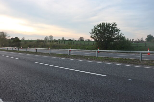
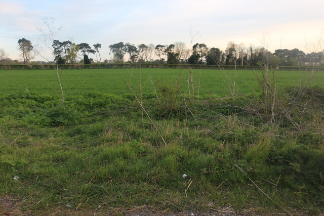
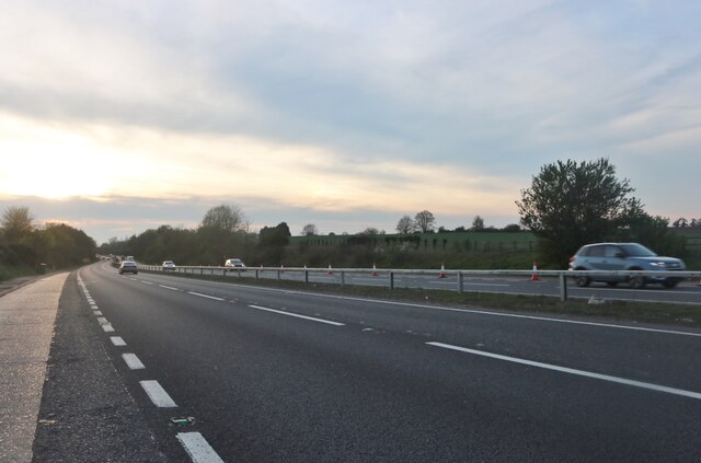
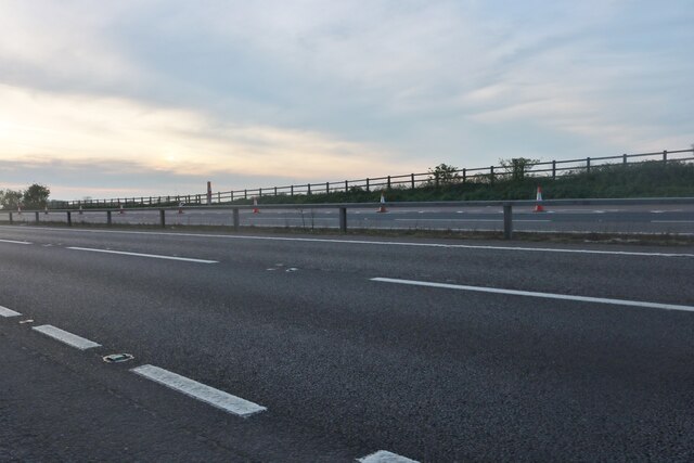
Round Plantation Images

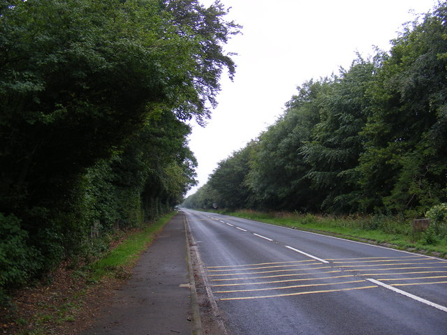
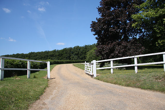
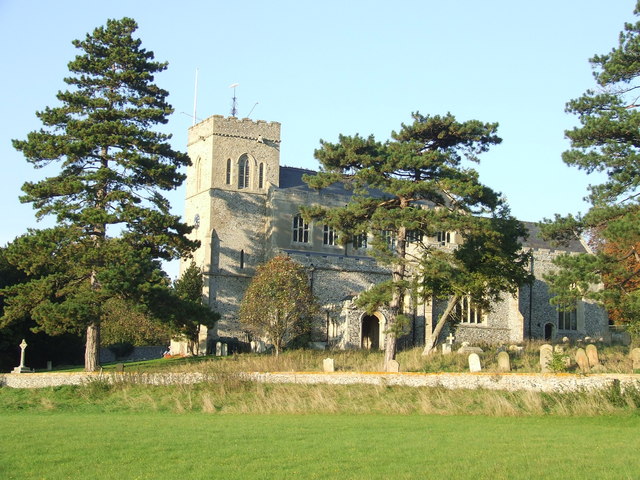
Images are sourced within 2km of 52.2656/0.48575076 or Grid Reference TL6965. Thanks to Geograph Open Source API. All images are credited.

Newmarket Road, Kentford
Field by Newmarket Road, Kentford
Newmarket Road, Kentford
View up the hill into Kentford The road here is the former east-west road across Suffolk (now the A14), superseded now by the Newmarket bypass.
View up the hill into Kentford
The road here is the former east-west road across Suffolk (now the A14), superseded now by the Newmarket bypass.
St Peter's Church, Moulton Viewed from the gate to the church path.
St Peter's Church, Moulton
Viewed from the gate to the church path.
Moulton Bridge The ancient bridge over the River Kennett. Today the flow is so small that it's all going through a culvert under the roadway, but judging by the four big arches and the gauge board, things can sometimes be a bit more serious.
Although none of the other pictures on here show any water over the ford either.
Moulton Bridge
The ancient bridge over the River Kennett. Today the flow is so small that it's all going through a culvert under the roadway, but judging by the four big arches and the gauge board, things can sometimes be a bit more serious. Although none of the other pictures on here show any water over the ford either.
River full of weeds The smaller of Moulton's old stone bridges over the River Kennett. A two stage channel with the small low flow stream over on the far side but room for higher flows to use the whole width if needed.
As usually happens, the dry section quickly fills with weeds.
See also <a href="https://www.geograph.org.uk/photo/1355405">TL6964 : Old footbridge at Moulton</a>
River full of weeds
The smaller of Moulton's old stone bridges over the River Kennett. A two stage channel with the small low flow stream over on the far side but room for higher flows to use the whole width if needed. As usually happens, the dry section quickly fills with weeds. See also TL6964 : Old footbridge at Moulton
Layby on Newmarket Road, Kennett
Newmarket Road, Kennett
Patterned ground and circular cropmarks on field north of Moulton, Suffolk: aerial 2022 Circles are hard to spot in pale section at top of main field, but are very clear on some satellite images of this site.
Patterned ground and circular cropmarks on field north of Moulton, Suffolk: aerial 2022
Circles are hard to spot in pale section at top of main field, but are very clear on some satellite images of this site.
Patterned ground on field W of Moulton, Suffolk: aerial 2022 (2)
Old training track NE of Newmarket: aerial 2022
Fields south of Kennett, from the railway Houses on Kennett's Station Road can be seen on the extreme right.
Fields south of Kennett, from the railway
Houses on Kennett's Station Road can be seen on the extreme right.
A14 from the railway, north-west of Kentford The A14 is a major road running 127 miles from Felixstowe to the Catthorpe Interchange, the junction of the M1 and M6 motorways near Rugby. The road connects East Anglia with the West Midlands and The North.
Wikipedia: <span class="nowrap"><a title="http://en.wikipedia.org/wiki/A14_road_(England)" rel="nofollow ugc noopener" href="http://en.wikipedia.org/wiki/A14_road_(England)">Link</a><img style="margin-left:2px;" alt="External link" title="External link - shift click to open in new window" src="https://s1.geograph.org.uk/img/external.png" width="10" height="10"/></span>
A14 from the railway, north-west of Kentford
The A14 is a major road running 127 miles from Felixstowe to the Catthorpe Interchange, the junction of the M1 and M6 motorways near Rugby. The road connects East Anglia with the West Midlands and The North. Wikipedia: LinkExternal link
Stile and footpath to Gazeley The footpath from Moulton leads diagonally across an arable field to join Moulton Road.
Stile and footpath to Gazeley
The footpath from Moulton leads diagonally across an arable field to join Moulton Road.
B1506 Bury Road Looking towards Lanwades Hall near Ash Tree Veterinary Centre at Kennett Park
B1506 Bury Road
Looking towards Lanwades Hall near Ash Tree Veterinary Centre at Kennett Park
B1506 Bury Road Looking towards Kennett End near Ash Tree Veterinary Centre at Kennett Park
B1506 Bury Road
Looking towards Kennett End near Ash Tree Veterinary Centre at Kennett Park
Show me another place!

Round Plantation is located at Grid Ref: TL6965 (Lat: 52.2656, Lng: 0.48575076)

Administrative County: Suffolk

District: West Suffolk

Police Authority: Suffolk

What 3 Words

///students.lotteries.curtail. Near Newmarket, Suffolk

Related Wikis

Lanwades Stud

Lanwades Stud is a Thoroughbred racehorse ownership and breeding operation in Newmarket, Suffolk, UK, which has bred and owned many notable horses....

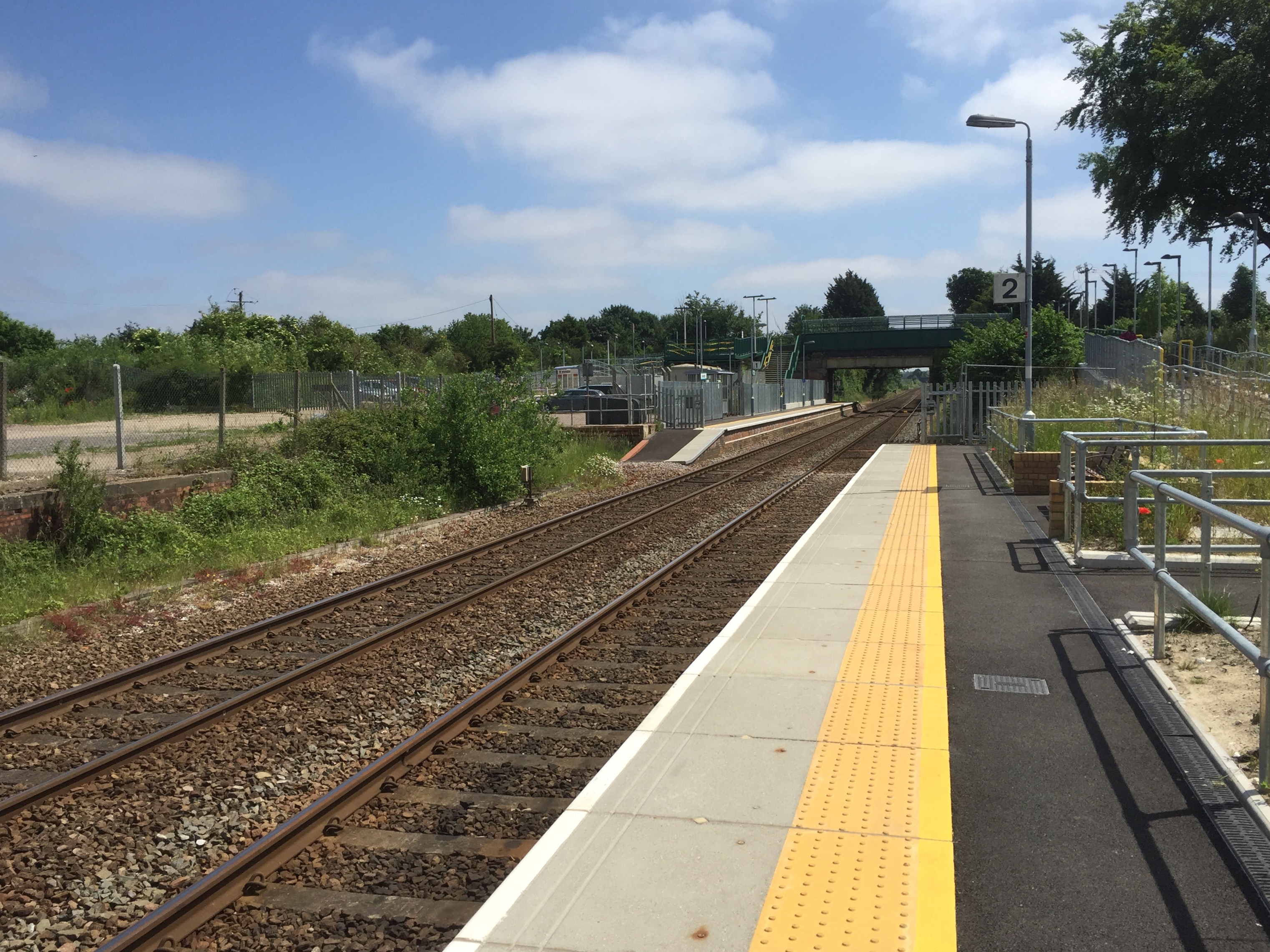
Kennett railway station

Kennett is a railway station serving the villages of Kennett in Cambridgeshire and Kentford in Suffolk, England. It opened in 1854 when the railway was...

Kentford

Kentford is a village and civil parish located in the West Suffolk district of Suffolk in eastern England. Situated on the banks of the River Kennet, the...

Moulton, Suffolk

Moulton is a village and civil parish in the West Suffolk district of Suffolk in eastern England, located close to the town of Newmarket. It pre-dates...

Nearby Amenities

Located within 500m of 52.2656,0.48575076
Turning Loop
Lat/Long: 52.2680223/0.4903385
Lanwades Park
Place: locality
Lat/Long: 52.2677032/0.4867829
The data included in this document is from www.openstreetmap.org. The data is made available under ODbL.

Have you been to Round Plantation?

Leave your review of Round Plantation below (or comments, questions and feedback).