Black Belt
Wood, Forest in Suffolk West Suffolk
England
Black Belt
Black Belt, Suffolk is a small, rural community located in the county of Suffolk, England. Situated in the eastern part of the country, Black Belt is known for its abundance of woodlands and forests, which lend a picturesque and serene atmosphere to the area.
Covering an area of approximately 10 square miles, Black Belt is characterized by its lush greenery and dense tree coverage. The forested landscapes provide a habitat for various wildlife species, making it a popular destination for nature enthusiasts and birdwatchers. The woodlands feature a mix of both deciduous and evergreen trees, creating a diverse and beautiful ecosystem.
The community of Black Belt is predominantly residential, with a small population of approximately 500 residents. The town center consists of a few local shops, a village hall, and a primary school, catering to the needs of the local community.
Black Belt offers a range of outdoor recreational activities, such as hiking, cycling, and horseback riding, thanks to its extensive network of footpaths and bridleways that wind through the forests. These trails provide opportunities for residents and visitors alike to explore the natural beauty of the area and enjoy outdoor pursuits.
Despite its rural setting, Black Belt benefits from good transport links, with a nearby train station connecting it to larger towns and cities in the region. This allows residents to easily access amenities and employment opportunities outside the immediate area.
Overall, Black Belt, Suffolk is a charming and tranquil community, known for its stunning woodlands and forests, making it an ideal location for those seeking a peaceful and nature-filled lifestyle.
If you have any feedback on the listing, please let us know in the comments section below.
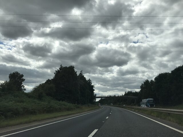
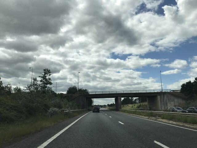
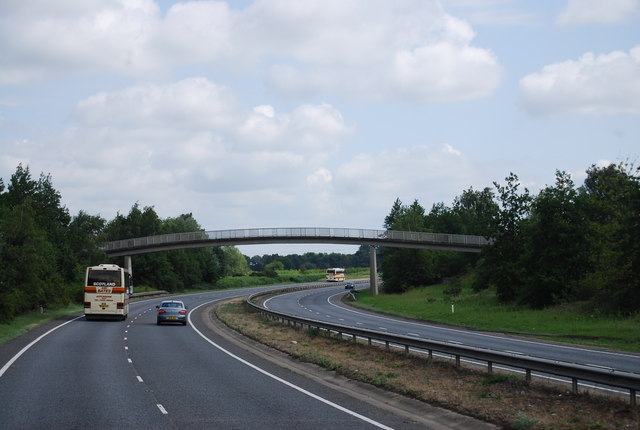
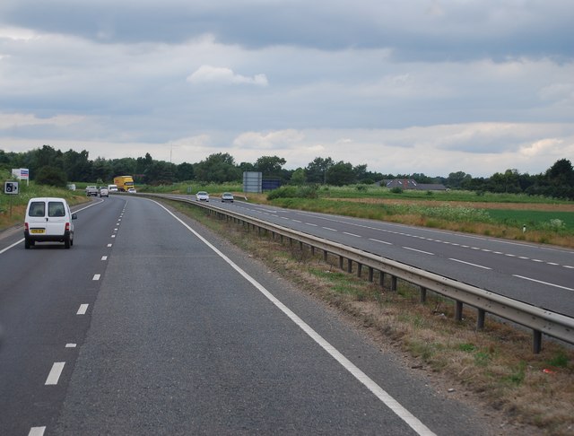
Black Belt Images
Images are sourced within 2km of 52.313527/0.48843609 or Grid Reference TL6971. Thanks to Geograph Open Source API. All images are credited.


Black Belt is located at Grid Ref: TL6971 (Lat: 52.313527, Lng: 0.48843609)
Administrative County: Suffolk
District: West Suffolk
Police Authority: Suffolk
What 3 Words
///bulletins.smokers.flag. Near Mildenhall, Suffolk
Nearby Locations
Related Wikis

Red Lodge, Suffolk
Red Lodge is a village and civil parish situated in rural Suffolk, England, between Mildenhall and Newmarket, and very close to the A11 and A14 roads....

Red Lodge Heath
Red Lodge Heath is a 20.8-hectare (51-acre) biological Site of Special Scientific Interest in Red Lodge in Suffolk.Habitats on this site are chalk grassland...
Royal Worlington and Newmarket Golf Club
The Royal Worlington and Newmarket Golf Club is a golf club located near Bury St Edmunds in Suffolk, England. The nine-hole layout is consistently ranked...

Cambridge University Golf Club
The Cambridge University Golf Club is the golf club for the University of Cambridge, England. It comprises the Blues team, the second-team Cambridge University...

Worlington, Suffolk
Worlington is a village and civil parish in the English county of Suffolk and in the old hundred of Lackford. It is recorded in the Domesday Book as Wirilintona...
Worlington Golf Links Halt railway station
Worlington Golf Links Halt railway station was a railway station on the Cambridge to Mildenhall railway. It served the village of Worlington, Suffolk,...

Herringswell
Herringswell is a village and civil parish in the West Suffolk district of Suffolk in eastern England. In 2005 it had a population of 190. In 2007 there...
Shi-Tennoji School in UK
Shi-Tennoji School in UK (英国四天王寺学園, Eikoku Shitennōji Gakuen) was a Japanese international secondary school in Herringswell, Suffolk, England, United Kingdom...
Nearby Amenities
Located within 500m of 52.313527,0.48843609Have you been to Black Belt?
Leave your review of Black Belt below (or comments, questions and feedback).