Chippenham Hill

Hill, Mountain in Suffolk West Suffolk

England

Chippenham Hill

View up the hill into Kentford The road here is the former east-west road across Suffolk (now the A14), superseded now by the Newmarket bypass.
View up the hill into Kentford Credit: Christopher Hilton

Chippenham Hill is a prominent geographical feature located in Suffolk, England. Although referred to as a hill, it is more accurately classified as a modestly sized mountain, standing at an elevation of approximately 200 meters (656 feet) above sea level. The hill is situated in the southwestern part of the county, near the village of Chippenham, which lies about 6 kilometers (3.7 miles) to the northeast.

Chippenham Hill is characterized by its gently sloping sides, covered in lush vegetation, predominantly consisting of grasses, heather, and scattered patches of woodland. At its summit, visitors can enjoy panoramic views of the surrounding countryside, including the picturesque villages nestled amidst the rolling hills of Suffolk.

The hill is a popular destination for outdoor enthusiasts, offering opportunities for hiking, walking, and nature appreciation. Its relatively accessible terrain makes it suitable for individuals of varying fitness levels, allowing visitors to enjoy the tranquil surroundings at their own pace.

In addition to its natural beauty, Chippenham Hill also holds historical significance. The area is known to have been inhabited since ancient times, with archaeological evidence suggesting human activity dating back to the Bronze Age. Various artifacts, such as pottery fragments and flint tools, have been discovered in the vicinity, providing insights into the region's past.

Overall, Chippenham Hill is a charming and historically rich destination, offering a serene escape into nature for both locals and tourists alike.

If you have any feedback on the listing, please let us know in the comments section below.

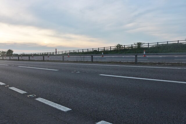
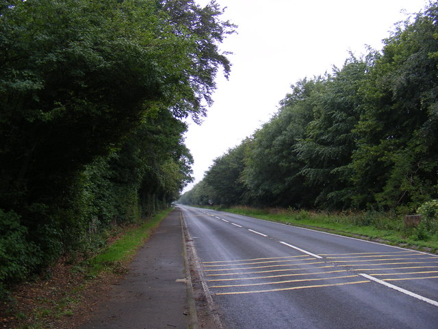
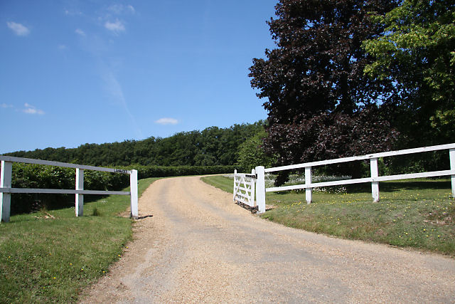
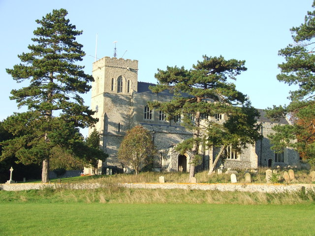
Chippenham Hill Images

Images are sourced within 2km of 52.262291/0.47718279 or Grid Reference TL6965. Thanks to Geograph Open Source API. All images are credited.

View up the hill into Kentford The road here is the former east-west road across Suffolk (now the A14), superseded now by the Newmarket bypass.
View up the hill into Kentford
The road here is the former east-west road across Suffolk (now the A14), superseded now by the Newmarket bypass.
St Peter's Church, Moulton Viewed from the gate to the church path.
St Peter's Church, Moulton
Viewed from the gate to the church path.
Moulton Bridge The ancient bridge over the River Kennett. Today the flow is so small that it's all going through a culvert under the roadway, but judging by the four big arches and the gauge board, things can sometimes be a bit more serious.
Although none of the other pictures on here show any water over the ford either.
Moulton Bridge
The ancient bridge over the River Kennett. Today the flow is so small that it's all going through a culvert under the roadway, but judging by the four big arches and the gauge board, things can sometimes be a bit more serious. Although none of the other pictures on here show any water over the ford either.
River full of weeds The smaller of Moulton's old stone bridges over the River Kennett. A two stage channel with the small low flow stream over on the far side but room for higher flows to use the whole width if needed.
As usually happens, the dry section quickly fills with weeds.
See also <a href="https://www.geograph.org.uk/photo/1355405">TL6964 : Old footbridge at Moulton</a>
River full of weeds
The smaller of Moulton's old stone bridges over the River Kennett. A two stage channel with the small low flow stream over on the far side but room for higher flows to use the whole width if needed. As usually happens, the dry section quickly fills with weeds. See also TL6964 : Old footbridge at Moulton
Layby on Newmarket Road, Kennett
Newmarket Road, Kennett
Patterned ground on field W of Moulton, Suffolk: aerial 2022
Patterned ground and circular cropmarks on field north of Moulton, Suffolk: aerial 2022 Circles are hard to spot in pale section at top of main field, but are very clear on some satellite images of this site.
Patterned ground and circular cropmarks on field north of Moulton, Suffolk: aerial 2022
Circles are hard to spot in pale section at top of main field, but are very clear on some satellite images of this site.
Patterned ground on field W of Moulton, Suffolk: aerial 2022 (2)
Old training track NE of Newmarket: aerial 2022
A14 from the railway, north-west of Kentford The A14 is a major road running 127 miles from Felixstowe to the Catthorpe Interchange, the junction of the M1 and M6 motorways near Rugby. The road connects East Anglia with the West Midlands and The North.
Wikipedia: <span class="nowrap"><a title="http://en.wikipedia.org/wiki/A14_road_(England)" rel="nofollow ugc noopener" href="http://en.wikipedia.org/wiki/A14_road_(England)">Link</a><img style="margin-left:2px;" alt="External link" title="External link - shift click to open in new window" src="https://s1.geograph.org.uk/img/external.png" width="10" height="10"/></span>
A14 from the railway, north-west of Kentford
The A14 is a major road running 127 miles from Felixstowe to the Catthorpe Interchange, the junction of the M1 and M6 motorways near Rugby. The road connects East Anglia with the West Midlands and The North. Wikipedia: LinkExternal link
Stile and footpath to Gazeley The footpath from Moulton leads diagonally across an arable field to join Moulton Road.
Stile and footpath to Gazeley
The footpath from Moulton leads diagonally across an arable field to join Moulton Road.
B1506 Bury Road Looking towards Lanwades Hall near Ash Tree Veterinary Centre at Kennett Park
B1506 Bury Road
Looking towards Lanwades Hall near Ash Tree Veterinary Centre at Kennett Park
B1506 Bury Road Looking towards Kennett End near Ash Tree Veterinary Centre at Kennett Park
B1506 Bury Road
Looking towards Kennett End near Ash Tree Veterinary Centre at Kennett Park
Kentford Park Off the B1506 Bury Road
Kentford Park
Off the B1506 Bury Road
Ash Tree Veterinary Centre 6 Pilgrim Court, Kennett
Off the B1506 Bury Road
<span class="nowrap"><a title="http://www.ashtreevets.com/" rel="nofollow ugc noopener" href="http://www.ashtreevets.com/">Link</a><img style="margin-left:2px;" alt="External link" title="External link - shift click to open in new window" src="https://s1.geograph.org.uk/img/external.png" width="10" height="10"/></span>
Ash Tree Veterinary Centre
6 Pilgrim Court, Kennett Off the B1506 Bury Road LinkExternal link
Ash Tree Veterinary Centre sign 6 Pilgrim Court, Kennett,
<span class="nowrap"><a title="http://www.ashtreevets.com/" rel="nofollow ugc noopener" href="http://www.ashtreevets.com/">Link</a><img style="margin-left:2px;" alt="External link" title="External link - shift click to open in new window" src="https://s1.geograph.org.uk/img/external.png" width="10" height="10"/></span>
Ash Tree Veterinary Centre sign
6 Pilgrim Court, Kennett, LinkExternal link
Show me another place!

Chippenham Hill is located at Grid Ref: TL6965 (Lat: 52.262291, Lng: 0.47718279)

Administrative County: Suffolk

District: West Suffolk

Police Authority: Suffolk

What 3 Words

///wedding.fiery.conceals. Near Newmarket, Suffolk

Related Wikis

Lanwades Stud

Lanwades Stud is a Thoroughbred racehorse ownership and breeding operation in Newmarket, Suffolk, UK, which has bred and owned many notable horses....

Moulton, Suffolk

Moulton is a village and civil parish in the West Suffolk district of Suffolk in eastern England, located close to the town of Newmarket. It pre-dates...

Kennett railway station

Kennett is a railway station serving the villages of Kennett in Cambridgeshire and Kentford in Suffolk, England. It opened in 1854 when the railway was...

Kentford

Kentford is a village and civil parish located in the West Suffolk district of Suffolk in eastern England. Situated on the banks of the River Kennet, the...

Have you been to Chippenham Hill?

Leave your review of Chippenham Hill below (or comments, questions and feedback).