Chambers Hill Wood
Wood, Forest in Kent Gravesham
England
Chambers Hill Wood
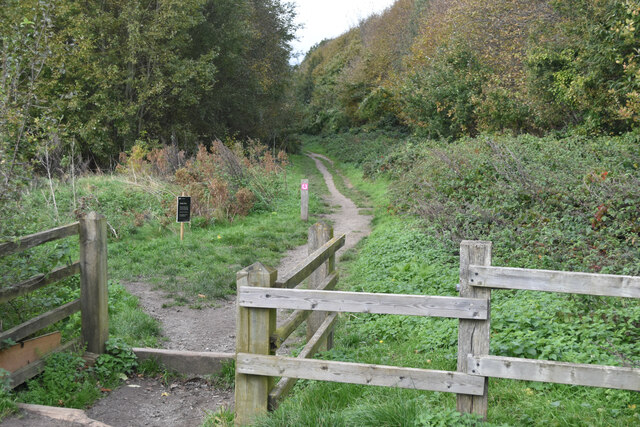
Chambers Hill Wood, located in the county of Kent, is a serene and captivating forest that covers an area of approximately 50 hectares. This woodland is situated near the village of Chambers Hill and is renowned for its natural beauty and rich biodiversity.
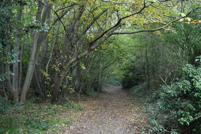
The wood is predominantly made up of broadleaf trees, including oak, beech, ash, and chestnut, which create a dense and lush canopy providing shade and shelter to numerous species. The forest floor is adorned with a variety of wildflowers, ferns, and mosses, adding to its enchanting atmosphere.
Chambers Hill Wood is home to a diverse range of wildlife, making it a popular spot for nature enthusiasts and birdwatchers. Bird species such as woodpeckers, nuthatches, and tawny owls can be spotted among the treetops, while the forest floor is inhabited by small mammals like squirrels, rabbits, and hedgehogs.
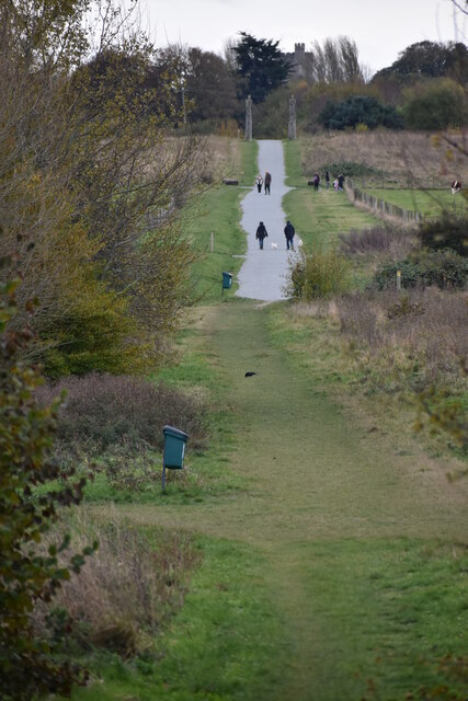
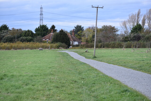
Visitors can explore the wood by following well-maintained trails that wind through the trees, providing an opportunity to immerse oneself in nature and appreciate the tranquility of the surroundings. There are also picnic areas and benches strategically placed throughout the wood, allowing visitors to relax and enjoy the peaceful ambiance.
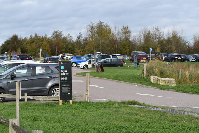
Chambers Hill Wood offers a variety of recreational activities such as walking, hiking, and photography. The wood is open to the public year-round, and entrance is free. It is managed by the local conservation authority, which ensures the preservation of the woodland ecosystem and its habitats.
If you have any feedback on the listing, please let us know in the comments section below.
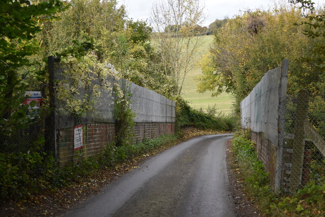
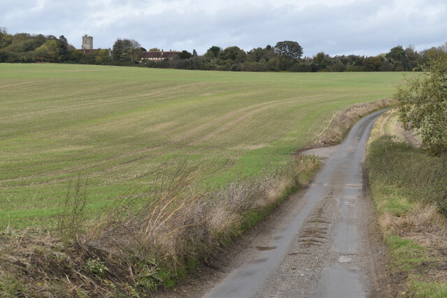
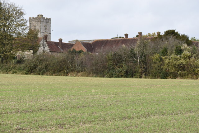
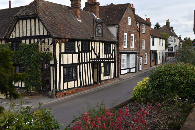
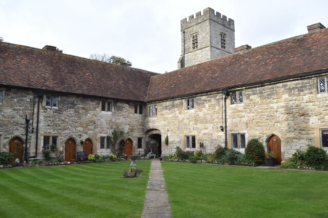
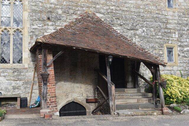
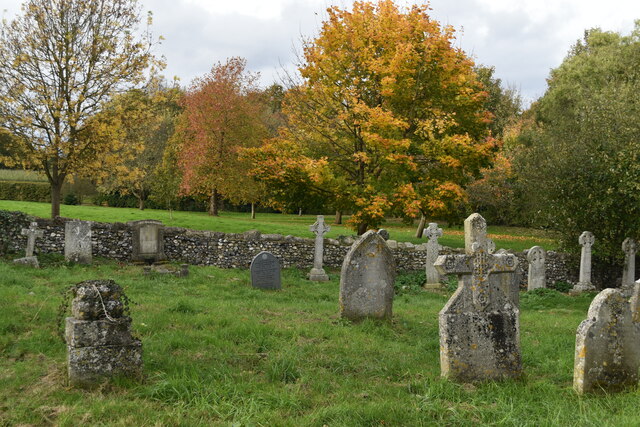
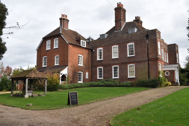
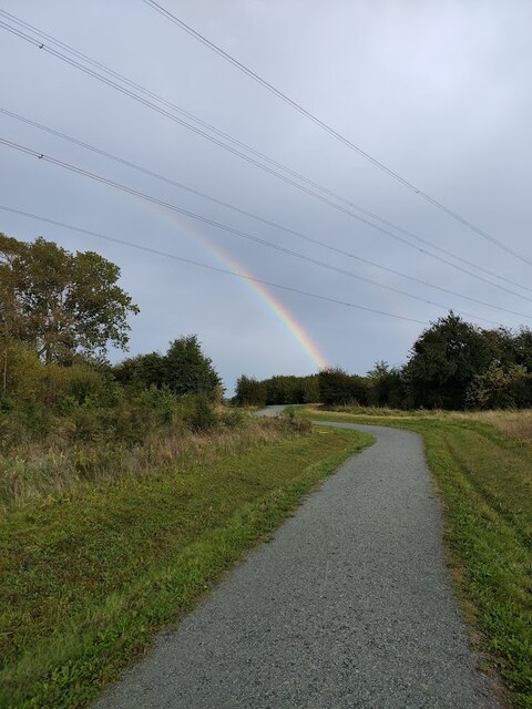
Chambers Hill Wood Images
Images are sourced within 2km of 51.399701/0.39927103 or Grid Reference TQ6669. Thanks to Geograph Open Source API. All images are credited.


Chambers Hill Wood is located at Grid Ref: TQ6669 (Lat: 51.399701, Lng: 0.39927103)
Administrative County: Kent
District: Gravesham
Police Authority: Kent
What 3 Words
///stem.escape.edit. Near Meopham, Kent
Nearby Locations
Related Wikis

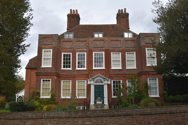
Owletts
Owletts is a country house 0.8 miles (1.3 km) to the northwest of the village of Cobham in Kent, England. It is a Grade II* listed building owned by the...

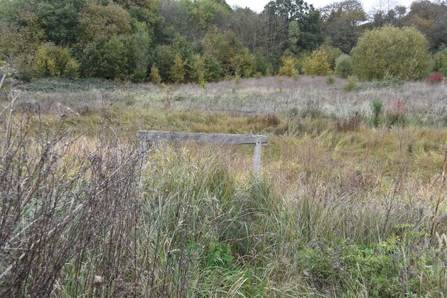
Jeskyns
Jeskyns is a park near Cobham, in Kent, England. A former farm, it was reopened as a large open-space recreational area in 2007, with areas being developed...

Gravesham
Gravesham ( GRAYV-shəm) is a local government district with borough status in north-west Kent, England. The council is based in its largest town of Gravesend...

Shorne and Ashenbank Woods
Shorne and Ashenbank Woods is a 197.4-hectare (488-acre) biological Site of Special Scientific Interest between Rochester and Gravesend in Kent. Part of...

Cobham, Kent
Cobham () is a village and civil parish in the borough of Gravesham in Kent, England. The village is located 6 miles (10 km) south-east of Gravesend,...

Thong, Kent
Thong is a hamlet southeast of Gravesend in Kent, England. The population of the hamlet is included in the civil parish of Shorne. It has frequently been...

Cobham Park (cricket ground)
Cobham Park near Cobham, Kent and located within the grounds of the Cobham Hall estate, was used a cricket ground. It was used as the venue for a single...
Cobham Hall School
Cobham Hall School is a private day and boarding school in the English parish of Cobham, Kent, for girls only in Years 7 to 11 and co-educational in the...
Nearby Amenities
Located within 500m of 51.399701,0.39927103Have you been to Chambers Hill Wood?
Leave your review of Chambers Hill Wood below (or comments, questions and feedback).