Twenty Acre Wood
Wood, Forest in Kent Gravesham
England
Twenty Acre Wood
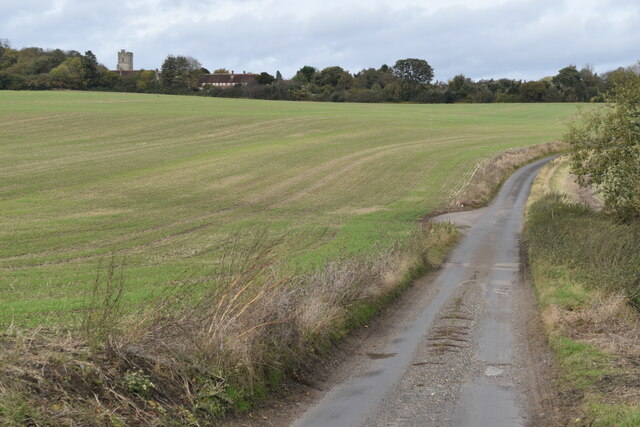
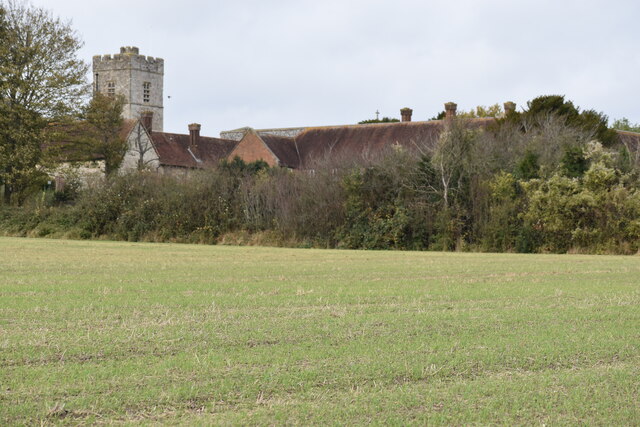
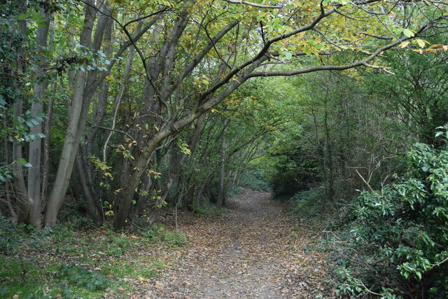
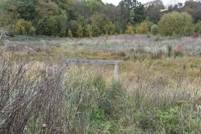
Twenty Acre Wood, located in Kent, England, is a picturesque woodland spanning approximately twenty acres. Situated amidst the rolling countryside, this enchanting forest is a haven for nature lovers and outdoor enthusiasts alike. The wood is known for its diverse range of flora and fauna, with an abundance of native trees such as oak, beech, and birch, as well as a carpet of vibrant wildflowers during the spring and summer months.
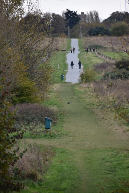
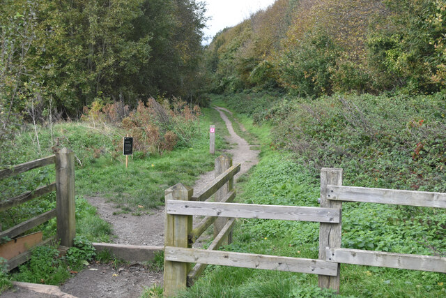
The wood boasts a network of well-maintained footpaths and trails, making it a popular destination for hikers and walkers. These paths wind through the dense undergrowth, offering visitors the opportunity to explore the wood's hidden treasures, including a babbling brook and a small pond teeming with aquatic life. The tranquil atmosphere of Twenty Acre Wood provides the perfect setting for a leisurely stroll or a peaceful picnic amidst nature.
Wildlife enthusiasts will be delighted by the array of species that call this woodland home. From elusive deer and foxes to an assortment of bird species, including woodpeckers and owls, there is always something to spot and admire. The wood also provides a habitat for various insects, including butterflies and dragonflies, adding to the biodiversity of the area.
Twenty Acre Wood is a cherished local treasure, offering a serene escape from the hustle and bustle of everyday life. Its natural beauty and diverse ecosystem make it an ideal destination for those seeking solace in nature or simply wishing to immerse themselves in the tranquility of a quintessential English woodland.
If you have any feedback on the listing, please let us know in the comments section below.
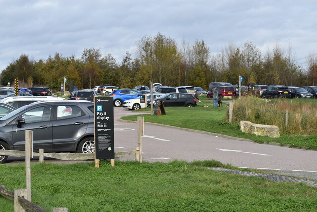
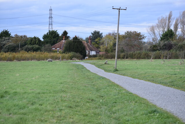
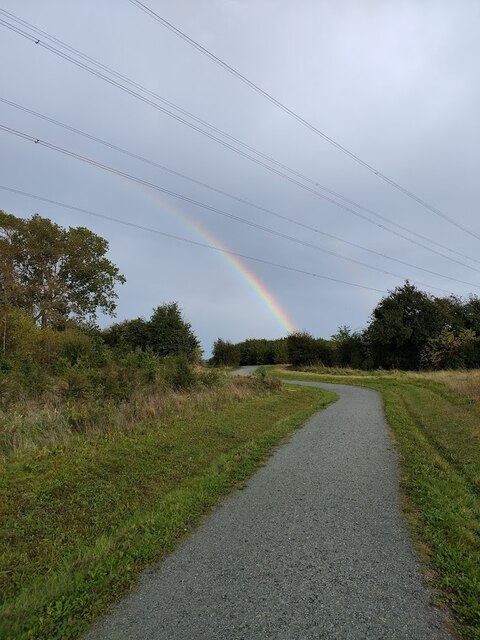
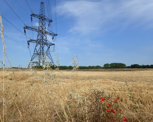
Twenty Acre Wood Images
Images are sourced within 2km of 51.402077/0.39695116 or Grid Reference TQ6669. Thanks to Geograph Open Source API. All images are credited.


Twenty Acre Wood is located at Grid Ref: TQ6669 (Lat: 51.402077, Lng: 0.39695116)
Administrative County: Kent
District: Gravesham
Police Authority: Kent
What 3 Words
///plays.flash.zebra. Near Meopham, Kent
Nearby Locations
Related Wikis

Jeskyns
Jeskyns is a park near Cobham, in Kent, England. A former farm, it was reopened as a large open-space recreational area in 2007, with areas being developed...

Gravesham
Gravesham ( GRAYV-shəm) is a local government district with borough status in north-west Kent, England. The council is based in its largest town of Gravesend...

Thong, Kent
Thong is a hamlet southeast of Gravesend in Kent, England. The population of the hamlet is included in the civil parish of Shorne. It has frequently been...

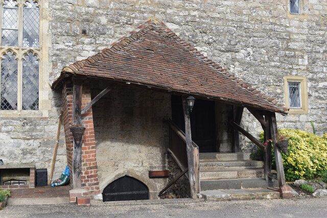
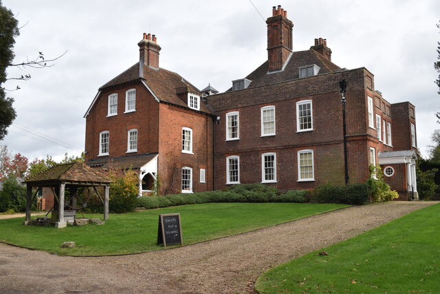
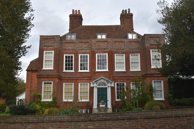
Owletts
Owletts is a country house 0.8 miles (1.3 km) to the northwest of the village of Cobham in Kent, England. It is a Grade II* listed building owned by the...

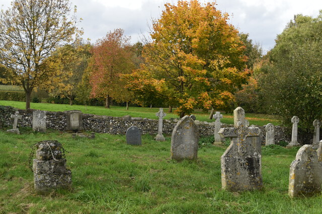
Shorne and Ashenbank Woods
Shorne and Ashenbank Woods is a 197.4-hectare (488-acre) biological Site of Special Scientific Interest between Rochester and Gravesend in Kent. Part of...

Singlewell Infrastructure Maintenance Depot
The Singlewell Infrastructure Maintenance Depot is a railway maintenance depot located near the Gravesend ward of Singlewell, Kent, in the United Kingdom...

Cobham, Kent
Cobham () is a village and civil parish in the borough of Gravesham in Kent, England. The village is located 6 miles (10 km) south-east of Gravesend,...

Shorne Wood Country Park
Shorne Wood Country Park is located between Strood and Gravesend, in the English county of Kent. It was once part of a large estate, later passed to the...
Nearby Amenities
Located within 500m of 51.402077,0.39695116Have you been to Twenty Acre Wood?
Leave your review of Twenty Acre Wood below (or comments, questions and feedback).