Ash Holt
Wood, Forest in Norfolk King's Lynn and West Norfolk
England
Ash Holt
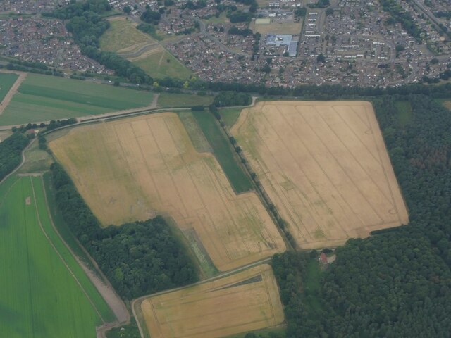
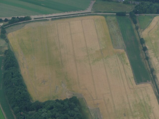
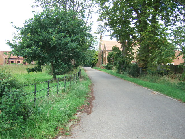
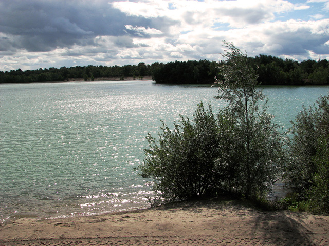
Ash Holt is a small village located in the county of Norfolk, England. Situated amidst the picturesque countryside, it is renowned for its dense woodlands and abundant forests, making it a haven for nature lovers and outdoor enthusiasts.
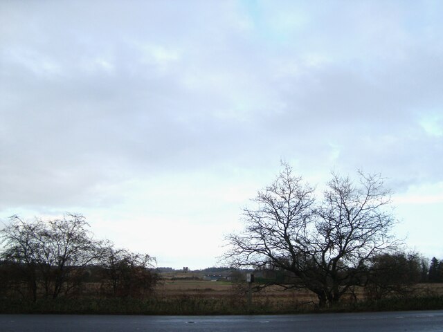
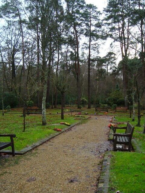
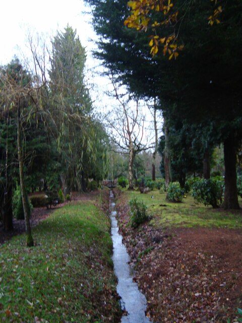
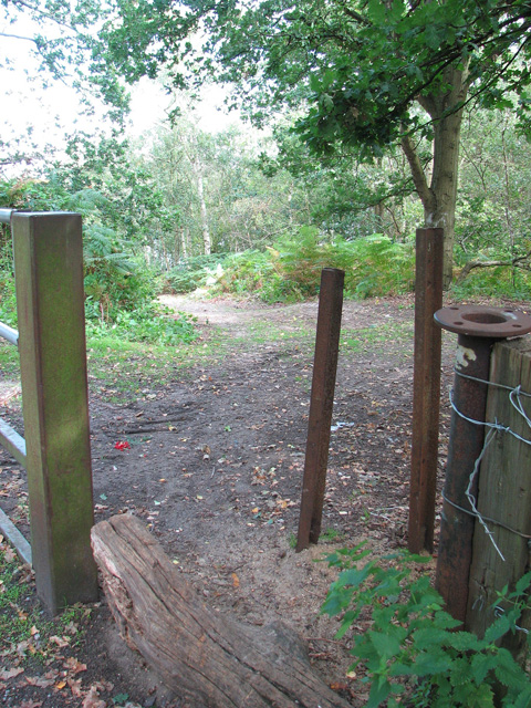
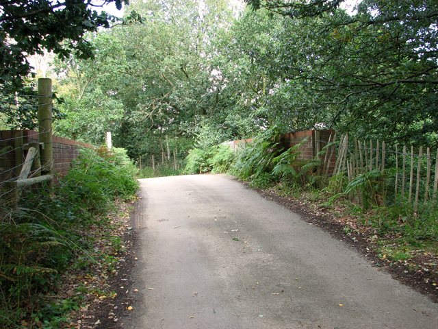
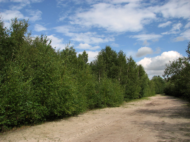
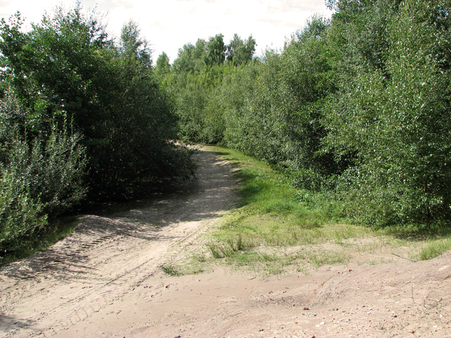
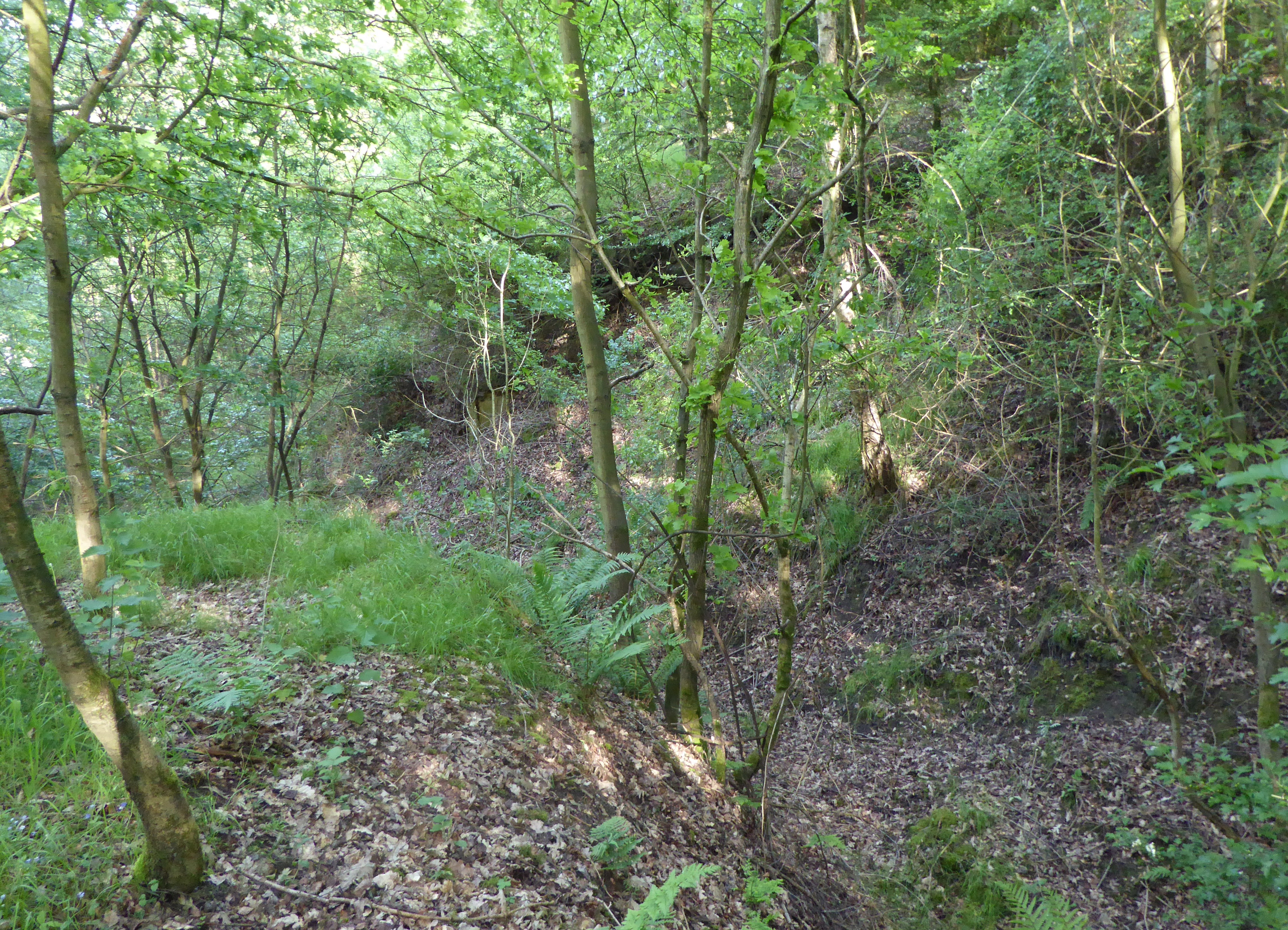
Covering an area of approximately 10 square kilometers, Ash Holt is primarily characterized by its lush green landscapes and diverse flora and fauna. The village is home to a variety of tree species, including ash, oak, beech, and pine, which contribute to its rich woodland ecosystem. These woodlands not only provide a scenic backdrop but also serve as a habitat for numerous wildlife species, such as deer, foxes, and various bird species.
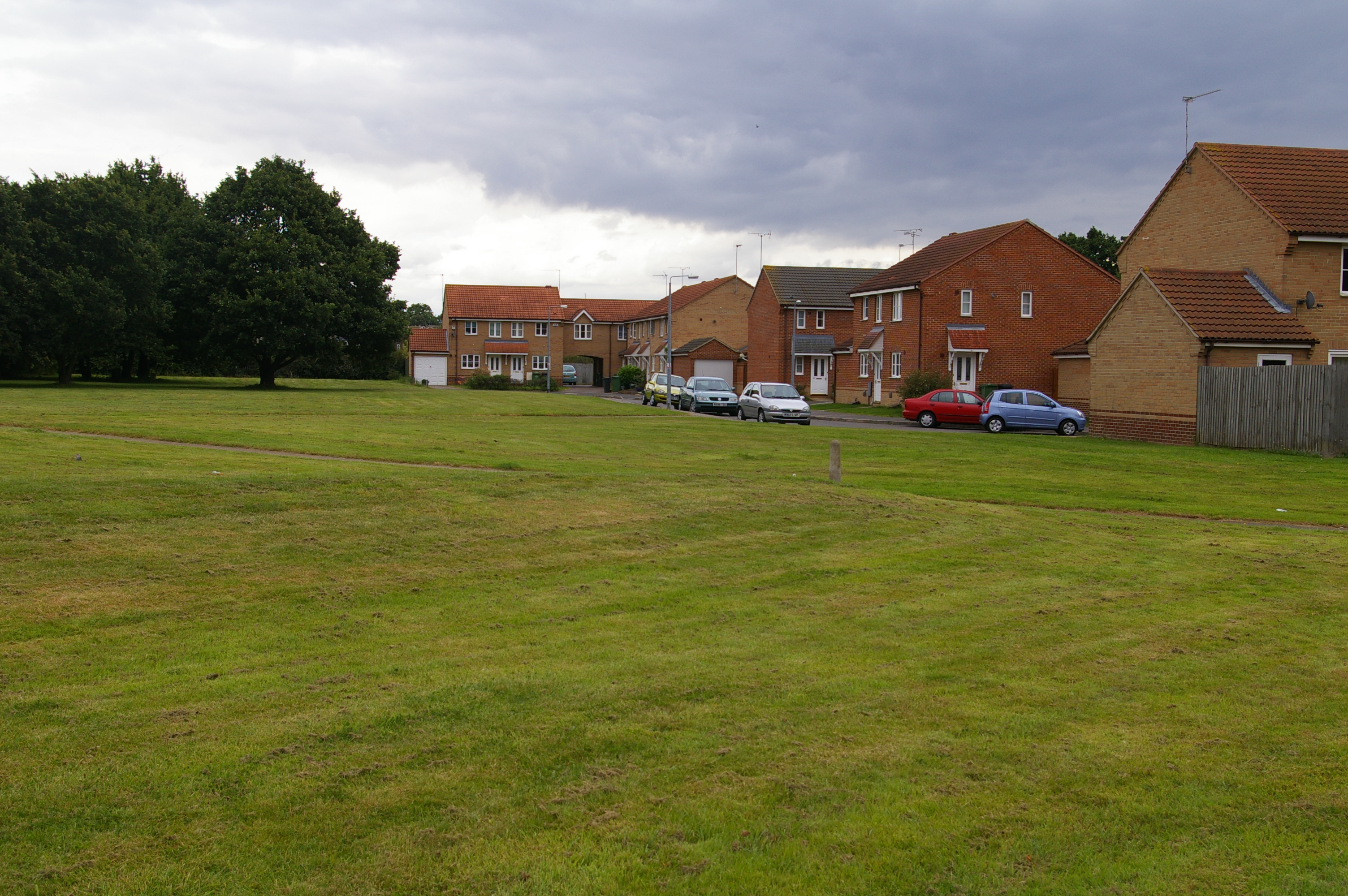
The village itself is relatively small and consists of a tight-knit community of residents who appreciate the tranquility and natural beauty of their surroundings. The local architecture is predominantly traditional, with charming cottages and farmhouses adorning the landscape.
In terms of amenities, Ash Holt offers limited services to its residents. There is a small convenience store that caters to daily essentials, and a village hall that hosts community events and gatherings. For more extensive amenities, residents often travel to nearby towns and cities.
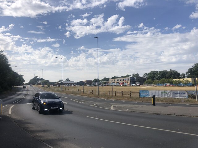
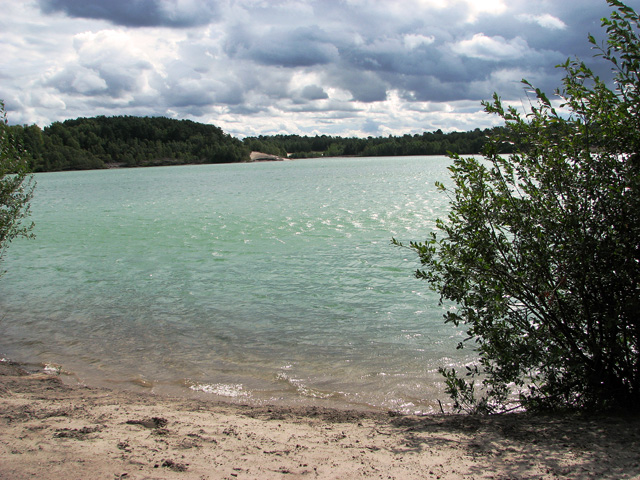
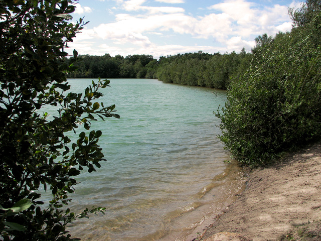
Ash Holt's natural beauty and peaceful atmosphere make it an ideal destination for outdoor activities. The woodlands provide ample opportunities for hiking, cycling, and wildlife spotting, attracting visitors from both near and far. Additionally, the village is situated close to the Norfolk Broads, a popular network of rivers and lakes, offering further recreational options such as boating and fishing.
Overall, Ash Holt is a charming village nestled in the heart of Norfolk's woodlands, offering a serene and idyllic escape for those seeking a connection with nature.
If you have any feedback on the listing, please let us know in the comments section below.
Ash Holt Images
Images are sourced within 2km of 52.738817/0.45174075 or Grid Reference TF6518. Thanks to Geograph Open Source API. All images are credited.

Ash Holt is located at Grid Ref: TF6518 (Lat: 52.738817, Lng: 0.45174075)
Administrative County: Norfolk
District: King's Lynn and West Norfolk
Police Authority: Norfolk
What 3 Words
///plea.clearly.clouding. Near King's Lynn, Norfolk
Nearby Locations
Related Wikis

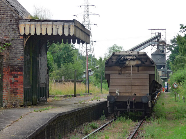
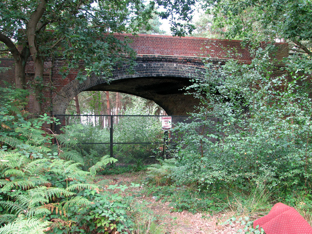
Middleton Towers railway station
Middleton Towers railway station was a station in Middleton, Norfolk. It was on the line between Swaffham and King's Lynn, and closed along with the rest...

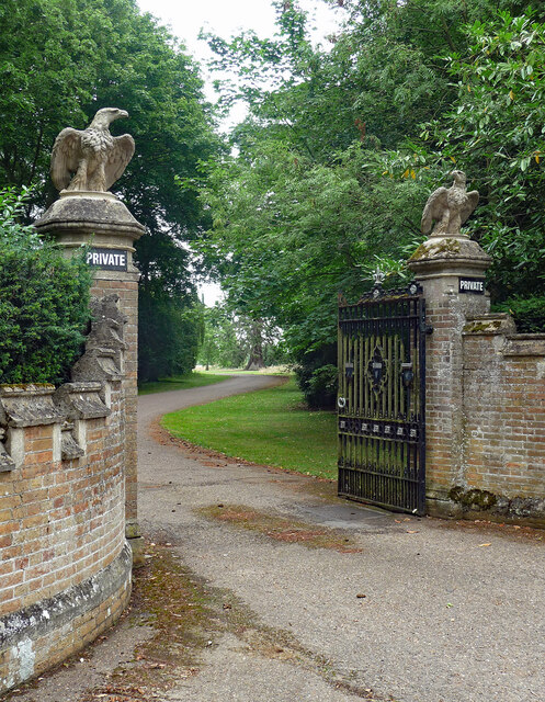
Middleton Towers
Middleton Towers is a privately owned country house in Norfolk, England, near the village of Middleton and about 3 miles (5 km) east of King's Lynn. The...

Gayton Road railway station
Gayton Road railway station was a station in Norfolk, located close to King's Lynn on the Midland and Great Northern Joint Railway. == History == The station...
Fairstead, Norfolk
The Fairstead Estate is a suburb of King's Lynn, Norfolk, England. The population of Fairstead ward of King's Lynn and West Norfolk Borough at the 2011...
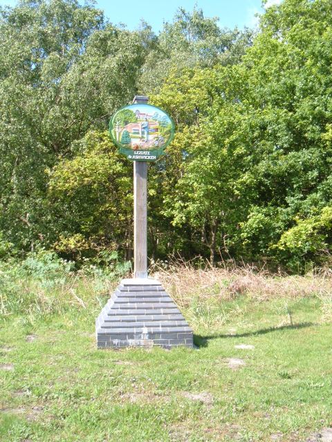
Leziate
Leziate is a village and civil parish in the English county of Norfolk. The village is 44 miles (71 km) west of Norwich, 5.7 miles (9.2 km) east of King...

Queen Elizabeth Hospital, King's Lynn
Queen Elizabeth Hospital in King's Lynn, Norfolk, England. It is located on the outskirts of King's Lynn, to the eastern edge of the town. The catchment...

Middleton Mount
Middleton Mount, also called Middleton Motte and Middleton Castle, is the remains of a medieval castle situated in the village of Middleton, in Norfolk...
Bawsey SSSI
Bawsey is a 2.6-hectare (6.4-acre) geological Site of Special Scientific Interest east of Kings' Lynn in Norfolk. It is a Geological Conservation Review...
Nearby Amenities
Located within 500m of 52.738817,0.45174075Have you been to Ash Holt?
Leave your review of Ash Holt below (or comments, questions and feedback).