Foxburrow Plantation
Wood, Forest in Cambridgeshire East Cambridgeshire
England
Foxburrow Plantation
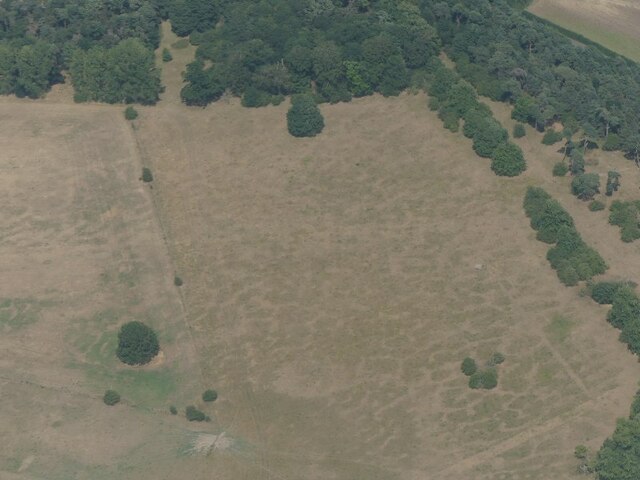
Foxburrow Plantation is a picturesque woodland located in Cambridgeshire, England. It spans over an expansive area and is known for its natural beauty and rich biodiversity. The plantation is situated in the heart of the county, surrounded by rolling hills and charming countryside.
Covering an estimated area of 100 acres, Foxburrow Plantation is predominantly composed of a mix of deciduous and coniferous trees. The woodland is home to a diverse range of flora and fauna, offering a haven for numerous species of plants, animals, and birds. Visitors to the plantation can expect to see majestic oak, beech, and birch trees towering overhead, providing a peaceful and serene atmosphere.
The plantation offers a variety of walking trails and paths for visitors to explore, allowing them to immerse themselves in the tranquil surroundings. These trails wind through the woodland, providing opportunities for nature enthusiasts to observe the local wildlife and enjoy the seasonal changes in the landscape.
Foxburrow Plantation also boasts a small lake, which adds to its charm and provides a habitat for aquatic plants and animals. The lake is a popular spot for fishing and birdwatching, attracting anglers and bird enthusiasts alike.
The woodland is well-maintained, with conservation efforts in place to protect its natural beauty and preserve its ecological importance. Foxburrow Plantation is open to the public year-round, offering a peaceful retreat for nature lovers and a chance to reconnect with the great outdoors.
If you have any feedback on the listing, please let us know in the comments section below.
Foxburrow Plantation Images
Images are sourced within 2km of 52.283759/0.42638777 or Grid Reference TL6567. Thanks to Geograph Open Source API. All images are credited.
![Chippenham Park gate lodges The Grade II listing begins "Matching pair of Neo-Classical lodges flanking gateway, c 1794-8 [and] built by James Wyatt (1746-1813) for John Tharp, who purchased the Park in 1791".](https://s0.geograph.org.uk/geophotos/06/96/06/6960656_4d989224.jpg)


Foxburrow Plantation is located at Grid Ref: TL6567 (Lat: 52.283759, Lng: 0.42638777)
Administrative County: Cambridgeshire
District: East Cambridgeshire
Police Authority: Cambridgeshire
What 3 Words
///riskiest.emailed.able. Near Fordham, Cambridgeshire
Nearby Locations
Related Wikis
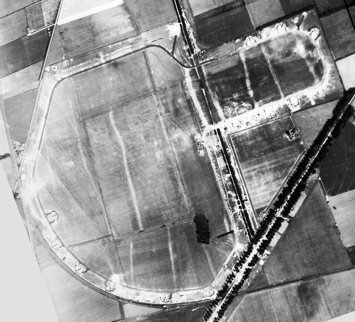
RAF Snailwell
Royal Air Force Snailwell or more simply RAF Snailwell is a former Royal Air Force station located near to the village of Snailwell, Cambridgeshire, located...
Snailwell
Snailwell is a small village and civil parish in East Cambridgeshire, England around 4 kilometres (2.5 mi) north of Newmarket. == History == The parish...

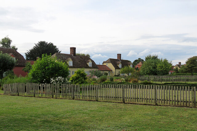
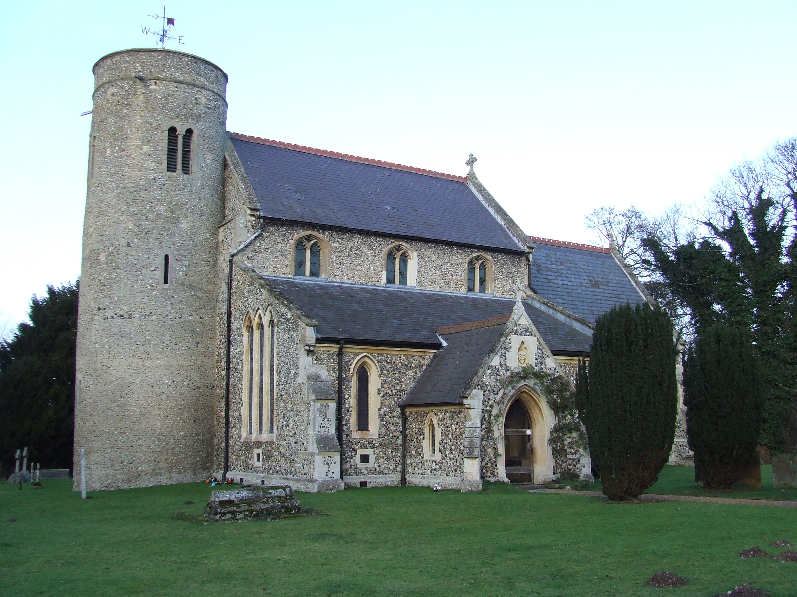
Chippenham Park
Chippenham Park is a country house in Chippenham, Cambridgeshire. == History == The Chippenham Park Estate was acquired by Thomas Revett, a London merchant...

Chippenham Fen and Snailwell Poor's Fen
Chippenham Fen and Snailwell Poor's Fen is a 155.9-hectare (385-acre) biological Site of Special Scientific Interest south-east of Fordham in Cambridgeshire...

Snailwell Meadows
Snailwell Meadows is a 14.8-hectare (37-acre) biological Site of Special Scientific Interest in Snailwell in Cambridgeshire.The meadows are on peat overlying...
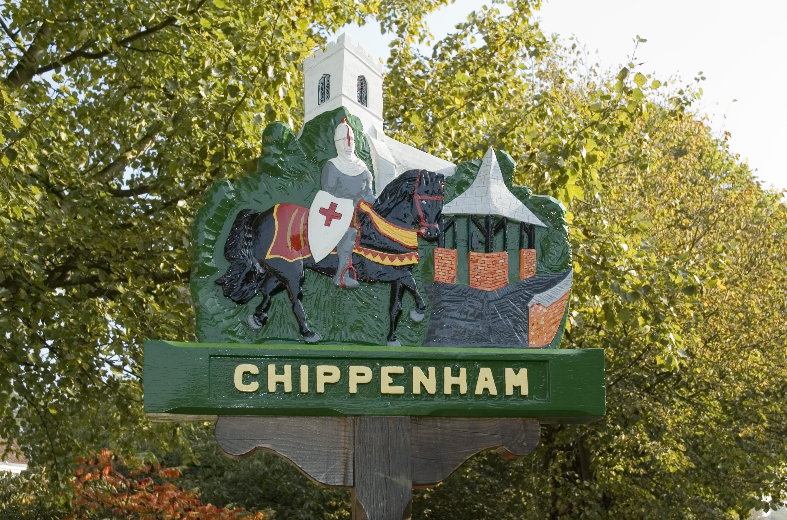
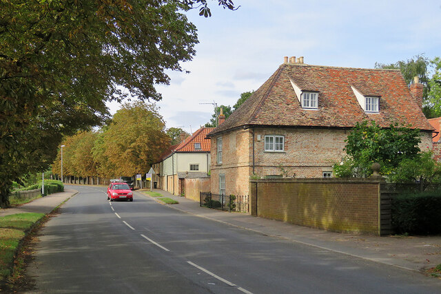
Chippenham, Cambridgeshire
Chippenham is a village and civil parish in Cambridgeshire, England, part of East Cambridgeshire district around 4 miles (6.4 km) north-east of Newmarket...

Chippenham Preceptory
Chippenham Preceptory was a preceptory in Cambridgeshire, England. It was established in 1184 and was dissolved in 1540. == References ==

Landwade
Landwade is a village and former civil parish, now in the parish of Exning, in the West Suffolk district, in the county of Suffolk, England. It is 4 miles...
Nearby Amenities
Located within 500m of 52.283759,0.42638777Have you been to Foxburrow Plantation?
Leave your review of Foxburrow Plantation below (or comments, questions and feedback).