Chapel Plantation

Wood, Forest in Norfolk King's Lynn and West Norfolk

England

Chapel Plantation

Cropmarks on field east of King's Lynn: aerial 2022 (1)
Cropmarks on field east of King's Lynn: aerial 2022 (1) Credit: Simon Tomson

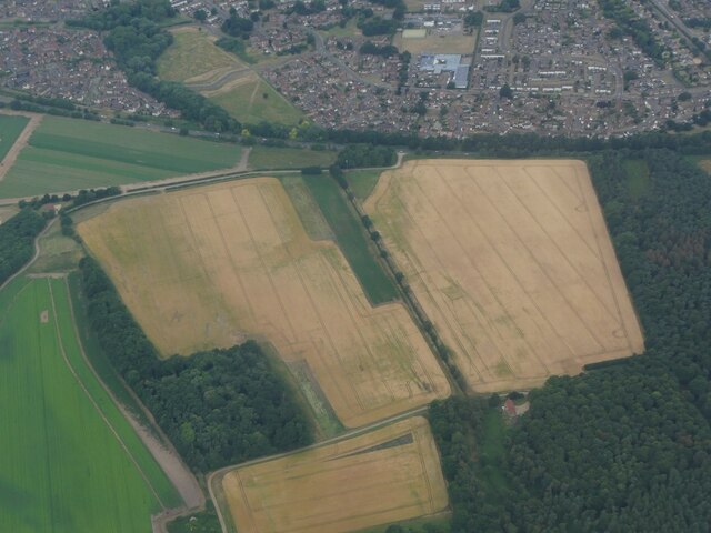
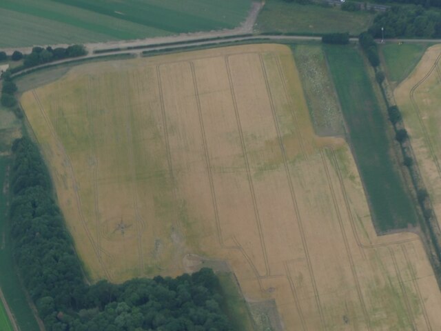
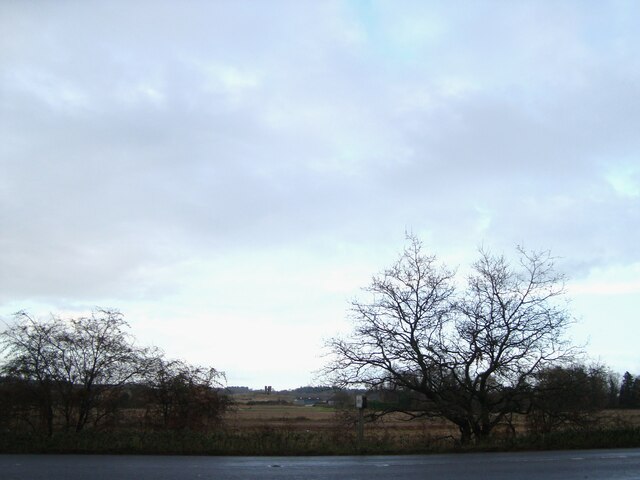
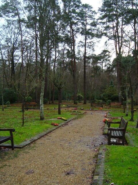
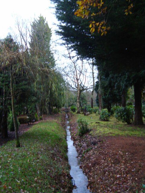
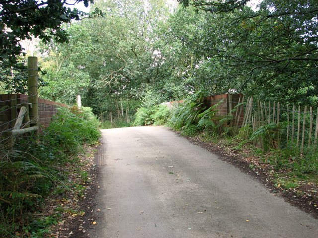
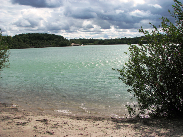
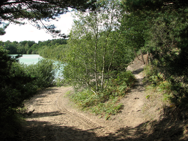
Chapel Plantation, located in Norfolk, is a sprawling wood and forest area that offers visitors a tranquil and picturesque setting. Covering a vast expanse of land, the plantation is a haven for nature enthusiasts and those seeking a peaceful retreat.

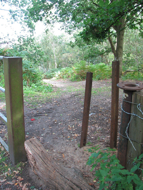
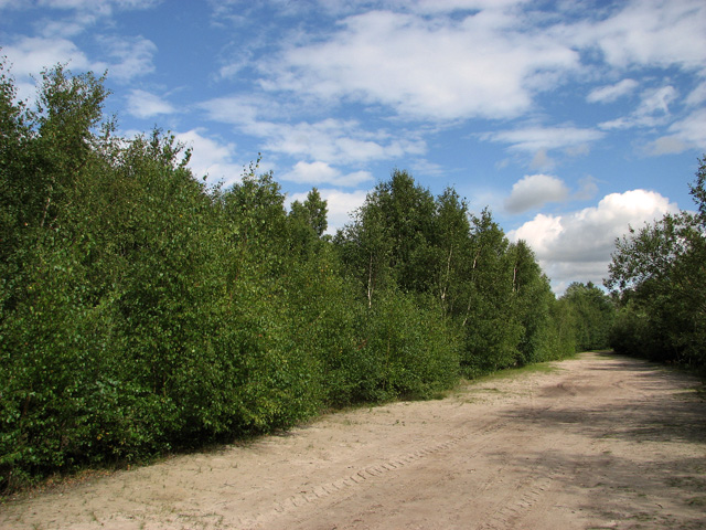
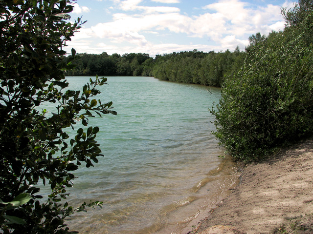
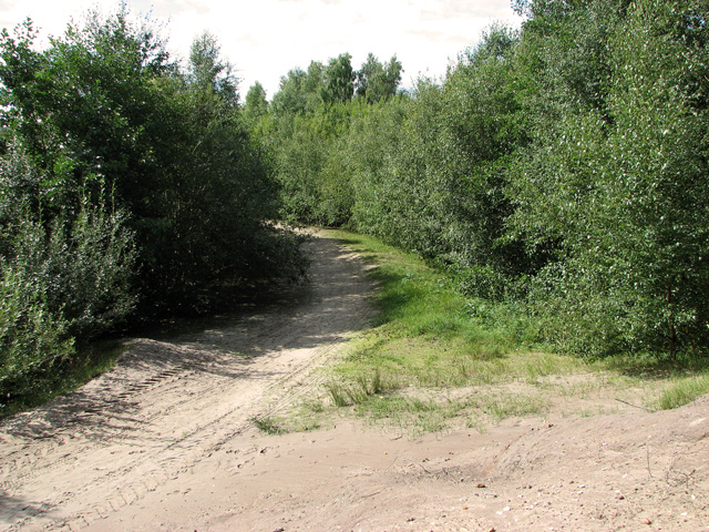
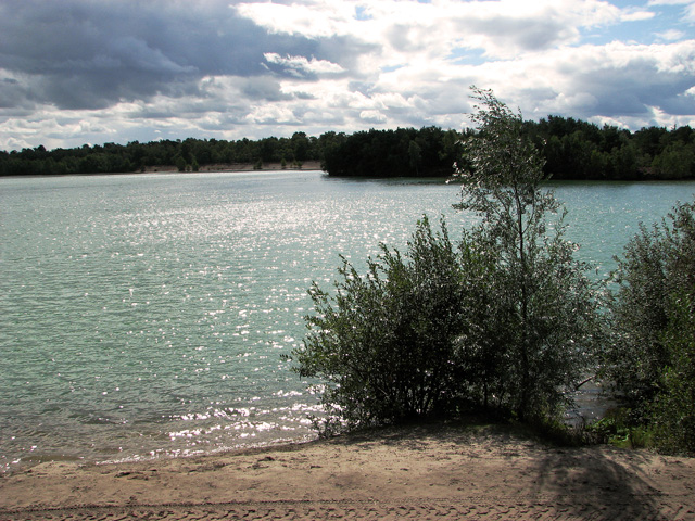
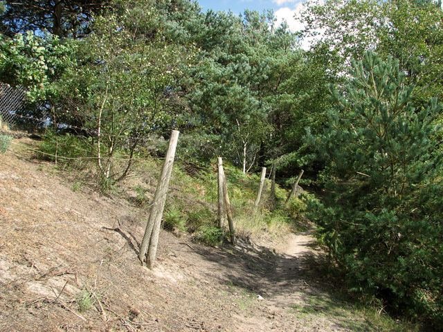
The plantation is characterized by its dense woodlands, featuring a variety of tree species such as oak, beech, and pine. These trees provide a lush canopy that filters sunlight, creating a cool and shaded environment. The forest floor is carpeted with a diverse array of flora, including wildflowers, ferns, and mosses, adding to the enchanting beauty of the area.

The abundance of wildlife is another highlight of Chapel Plantation. The forest is home to a myriad of bird species, making it a popular spot for birdwatchers. Visitors may catch glimpses of colorful woodpeckers, songbirds, and even birds of prey soaring above the treetops. Deer, foxes, and rabbits are also commonly spotted in the area, adding to the allure of the plantation.

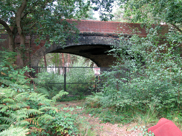
Tranquil walking trails wind their way through the plantation, allowing visitors to explore the natural beauty at their own pace. These trails offer opportunities for leisurely strolls, invigorating hikes, or even peaceful picnics amidst the serene surroundings. The plantation also boasts a small chapel, which provides a place for quiet reflection and contemplation.

Chapel Plantation, with its stunning woodlands, diverse wildlife, and peaceful ambiance, is a true gem in the Norfolk countryside. It offers an idyllic escape from the hustle and bustle of everyday life, inviting visitors to immerse themselves in the beauty of nature.

If you have any feedback on the listing, please let us know in the comments section below.

Chapel Plantation Images

Images are sourced within 2km of 52.746138/0.45118875 or Grid Reference TF6519. Thanks to Geograph Open Source API. All images are credited.

Cropmarks on field east of King's Lynn: aerial 2022 (1)
Cropmarks on field east of King's Lynn: aerial 2022 (2)
The A149 King's Lynn to Cromer road Passing by the Queen Elizabeth Hospital
The A149 King's Lynn to Cromer road
Passing by the Queen Elizabeth Hospital
View towards Church Farm From the entrance to Mintlyn Crematorium
View towards Church Farm
From the entrance to Mintlyn Crematorium
Gardens of Remembrance at Mintlyn Crematorium Part of the extensive gardens and woodlands around the crematorium
Gardens of Remembrance at Mintlyn Crematorium
Part of the extensive gardens and woodlands around the crematorium
Overflow car park at Mintlyn Crematorium
Drain in Hammonds Covert Mintlyn Wood
Drain in Hammonds Covert
Mintlyn Wood
Access route into Bawsey Country Park The country park has been created in an area of disused sand pits and gravel quarries, now open to the public.
Access route into Bawsey Country Park
The country park has been created in an area of disused sand pits and gravel quarries, now open to the public.
Bridge over disused railway line, Mintlyn
Bridge over disused railway line, Mintlyn Access through the bridge is blocked because there is a working quarry in the woodland on the other side.
Bridge over disused railway line, Mintlyn
Access through the bridge is blocked because there is a working quarry in the woodland on the other side.
Sandy path in Bawsey Country Park The country park has been created in an area of disused sand pits and gravel quarries, now open to the public.
Sandy path in Bawsey Country Park
The country park has been created in an area of disused sand pits and gravel quarries, now open to the public.
Lake in Bawsey Country Park The country park has been created in an area of disused sand pits and gravel quarries, now open to the public.
Lake in Bawsey Country Park
The country park has been created in an area of disused sand pits and gravel quarries, now open to the public.
View along the edge of the lake, Bawsey Country Park The country park has been created in an area of disused sand pits and gravel quarries, now open to the public.
View along the edge of the lake, Bawsey Country Park
The country park has been created in an area of disused sand pits and gravel quarries, now open to the public.
Path around the lake, Bawsey Country Park The country park has been created in an area of disused sand pits and gravel quarries, now open to the public.
Path around the lake, Bawsey Country Park
The country park has been created in an area of disused sand pits and gravel quarries, now open to the public.
Blustery day in Bawsey Country Park The country park has been created in an area of disused sand pits and gravel quarries, now open to the public.
Blustery day in Bawsey Country Park
The country park has been created in an area of disused sand pits and gravel quarries, now open to the public.
Path past the gravel works, Bawsey Country Park
Track along the lake in Bawsey Country Park The country park has been created in an area of disused sand pits and gravel quarries, now open to the public.
Track along the lake in Bawsey Country Park
The country park has been created in an area of disused sand pits and gravel quarries, now open to the public.
Show me another place!

Chapel Plantation is located at Grid Ref: TF6519 (Lat: 52.746138, Lng: 0.45118875)

Administrative County: Norfolk

District: King's Lynn and West Norfolk

Police Authority: Norfolk

What 3 Words

///hoped.purses.panting. Near King's Lynn, Norfolk

Related Wikis

Queen Elizabeth Hospital, King's Lynn

Queen Elizabeth Hospital in King's Lynn, Norfolk, England. It is located on the outskirts of King's Lynn, to the eastern edge of the town. The catchment...

Fairstead, Norfolk

The Fairstead Estate is a suburb of King's Lynn, Norfolk, England. The population of Fairstead ward of King's Lynn and West Norfolk Borough at the 2011...

Gayton Road railway station

Gayton Road railway station was a station in Norfolk, located close to King's Lynn on the Midland and Great Northern Joint Railway. == History == The station...

Middleton Towers railway station

Middleton Towers railway station was a station in Middleton, Norfolk. It was on the line between Swaffham and King's Lynn, and closed along with the rest...

Springwood High School, King's Lynn

Springwood High School is a secondary school with academy status in the town of King's Lynn in Norfolk, England. It was formed by the merger of several...
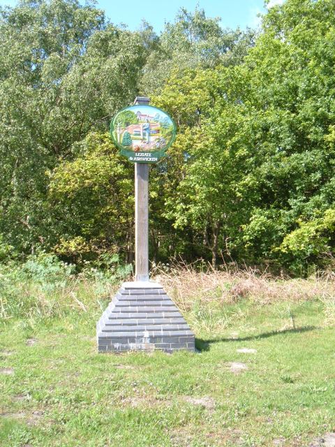
Leziate

Leziate is a village and civil parish in the English county of Norfolk. The village is 44 miles (71 km) west of Norwich, 5.7 miles (9.2 km) east of King...

Middleton Towers

Middleton Towers is a privately owned country house in Norfolk, England, near the village of Middleton and about 3 miles (5 km) east of King's Lynn. The...

Gaywood, Norfolk

Gaywood is an eastern suburb of King's Lynn, in the King's Lynn and West Norfolk district, in the county of Norfolk, England. Previously a civil parish...
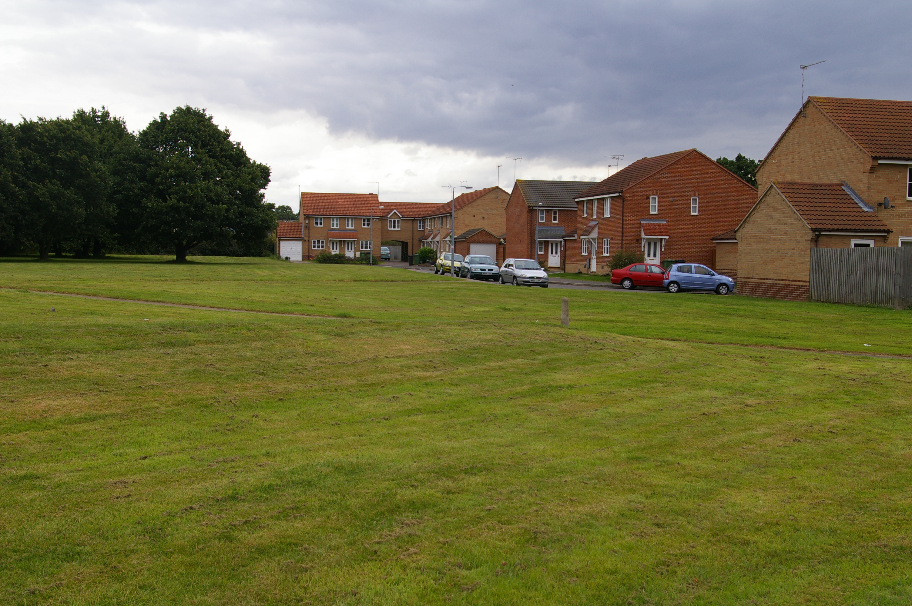
Nearby Amenities

Located within 500m of 52.746138,0.45118875
Power: pole
Lat/Long: 52.7436769/0.4475671
Power: pole
Lat/Long: 52.748187/0.4521076
Power: pole
Lat/Long: 52.7445667/0.4444128
Power: pole
Lat/Long: 52.7462922/0.4483329
Power: pole
Lat/Long: 52.7468447/0.4494373
Power: pole
Lat/Long: 52.7440092/0.4463845
Power: pole
Lat/Long: 52.7442797/0.4474509
Power: pole
Lat/Long: 52.7423552/0.4522959
Power: pole
Lat/Long: 52.7432174/0.4491819
Power: pole
Lat/Long: 52.7443492/0.4451745
Power: pole
Lat/Long: 52.7450182/0.4473486
Power: pole
Lat/Long: 52.7427692/0.4507993
Power: pole
Lat/Long: 52.7457564/0.4472548
The data included in this document is from www.openstreetmap.org. The data is made available under ODbL.

Have you been to Chapel Plantation?

Leave your review of Chapel Plantation below (or comments, questions and feedback).