Cambridge Plantation

Wood, Forest in Norfolk King's Lynn and West Norfolk

England

Cambridge Plantation

Cropmarks on field east of King's Lynn: aerial 2022 (1)
Cropmarks on field east of King's Lynn: aerial 2022 (1) Credit: Simon Tomson

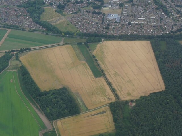
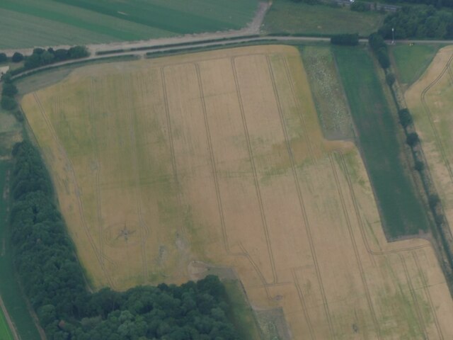
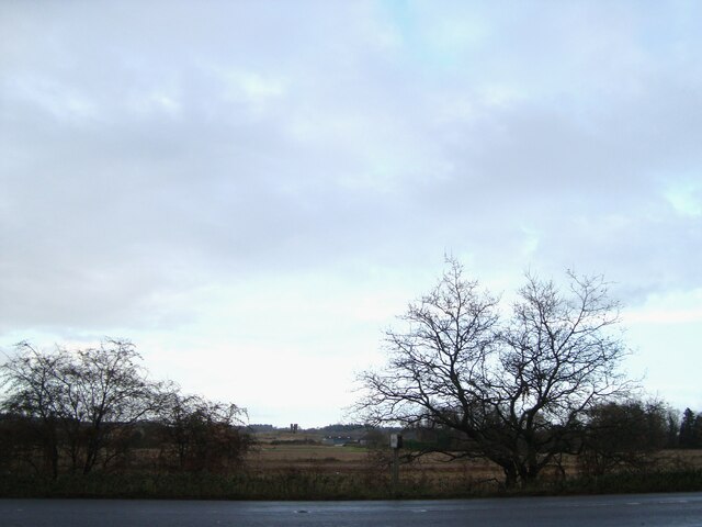
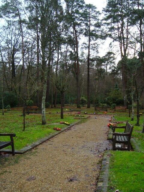
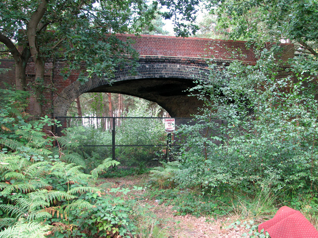
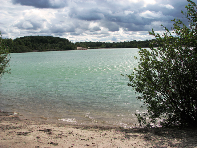
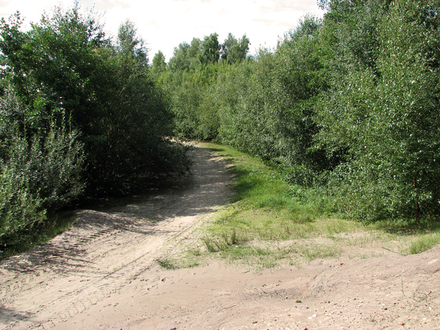
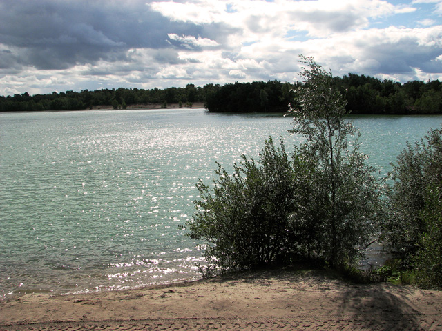
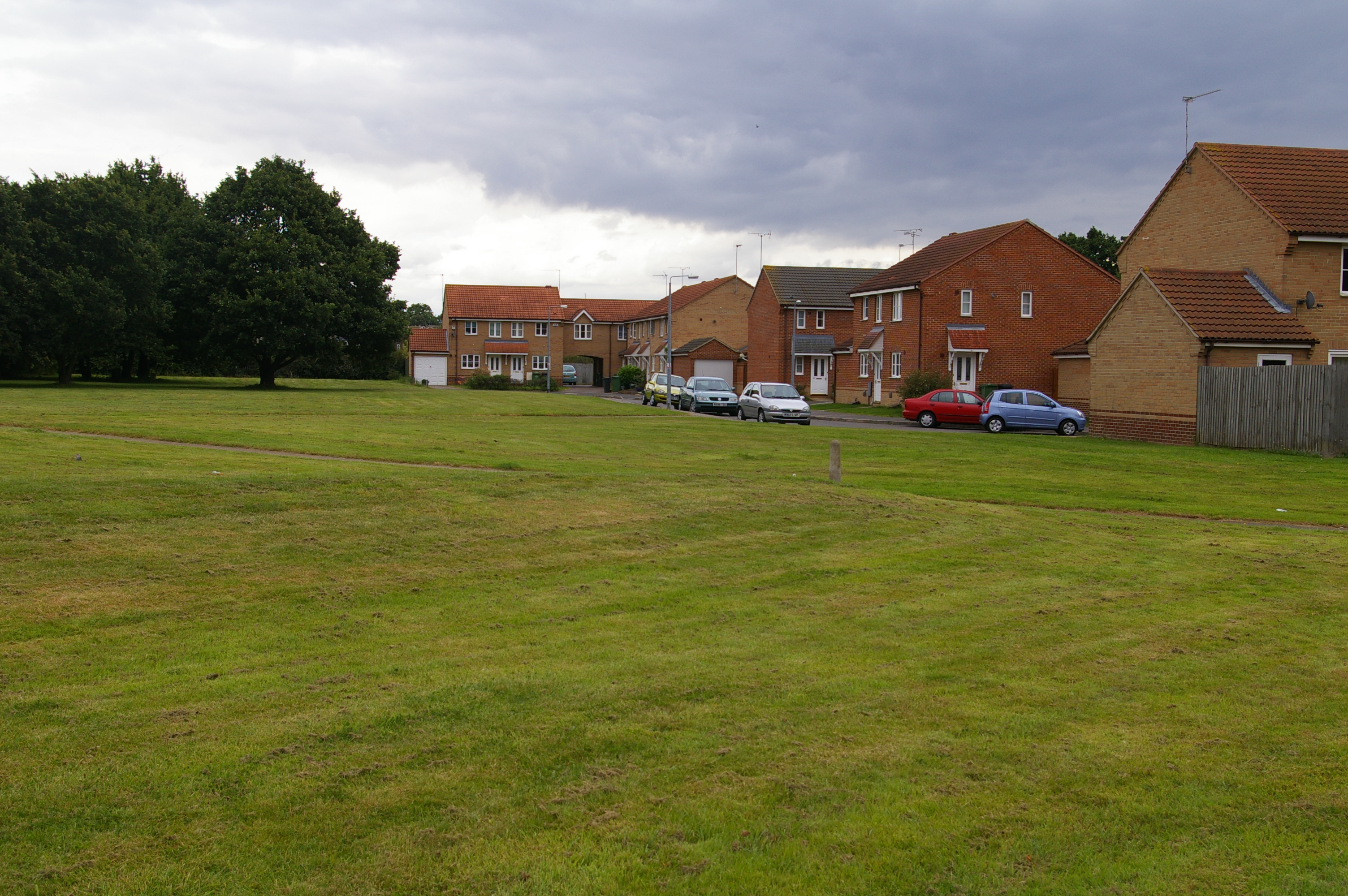
Cambridge Plantation, located in Norfolk, is a stunning woodland area that offers visitors a glimpse into the natural beauty of the region. Covering an expansive area, the plantation is known for its diverse range of trees and plants, making it a haven for nature enthusiasts and outdoor lovers.

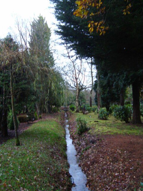
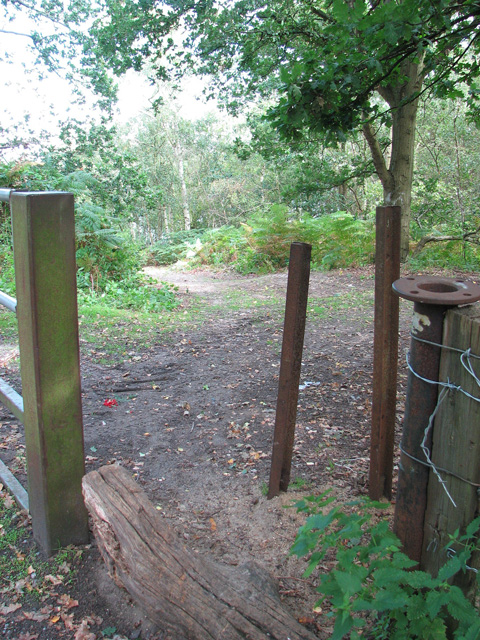
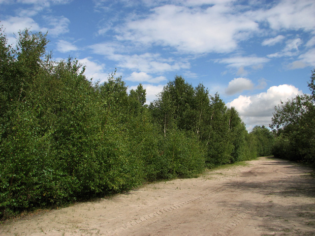
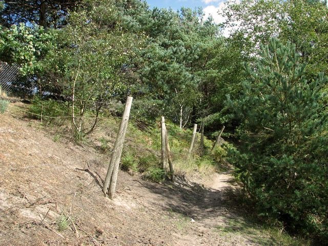
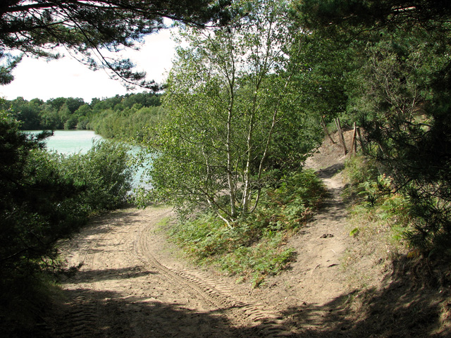
The plantation is predominantly made up of woodlands and forests, which provide a serene and tranquil environment. Visitors can expect to find a mix of broadleaf trees such as oak, beech, and ash, as well as coniferous species like pine and spruce. The dense foliage creates a lush and green landscape, perfect for exploring and getting lost in nature.

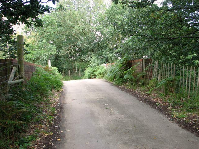
The plantation offers a variety of activities for visitors to enjoy. There are well-maintained walking trails that wind through the woodland, allowing visitors to take leisurely strolls or embark on more challenging hikes. Birdwatchers will also find plenty to see, as the plantation is home to a wide array of bird species, including woodpeckers, owls, and songbirds.

In addition to its natural beauty, Cambridge Plantation also has a rich history. It is believed to have been established several centuries ago, and remnants of old structures and artifacts can still be found throughout the area. This adds an additional layer of intrigue and fascination for history buffs and those interested in the region's past.

Overall, Cambridge Plantation in Norfolk offers a picturesque and peaceful escape from the hustle and bustle of everyday life. With its diverse range of trees, walking trails, and historical significance, it is a destination that appeals to nature lovers, history enthusiasts, and anyone looking to reconnect with the great outdoors.

If you have any feedback on the listing, please let us know in the comments section below.

Cambridge Plantation Images

Images are sourced within 2km of 52.751299/0.45297522 or Grid Reference TF6519. Thanks to Geograph Open Source API. All images are credited.

Cropmarks on field east of King's Lynn: aerial 2022 (1)
Cropmarks on field east of King's Lynn: aerial 2022 (2)
The A149 King's Lynn to Cromer road Passing by the Queen Elizabeth Hospital
The A149 King's Lynn to Cromer road
Passing by the Queen Elizabeth Hospital
View towards Church Farm From the entrance to Mintlyn Crematorium
View towards Church Farm
From the entrance to Mintlyn Crematorium
Gardens of Remembrance at Mintlyn Crematorium Part of the extensive gardens and woodlands around the crematorium
Gardens of Remembrance at Mintlyn Crematorium
Part of the extensive gardens and woodlands around the crematorium
Overflow car park at Mintlyn Crematorium
Drain in Hammonds Covert Mintlyn Wood
Drain in Hammonds Covert
Mintlyn Wood
Access route into Bawsey Country Park The country park has been created in an area of disused sand pits and gravel quarries, now open to the public.
Access route into Bawsey Country Park
The country park has been created in an area of disused sand pits and gravel quarries, now open to the public.
Bridge over disused railway line, Mintlyn
Bridge over disused railway line, Mintlyn Access through the bridge is blocked because there is a working quarry in the woodland on the other side.
Bridge over disused railway line, Mintlyn
Access through the bridge is blocked because there is a working quarry in the woodland on the other side.
Sandy path in Bawsey Country Park The country park has been created in an area of disused sand pits and gravel quarries, now open to the public.
Sandy path in Bawsey Country Park
The country park has been created in an area of disused sand pits and gravel quarries, now open to the public.
Lake in Bawsey Country Park The country park has been created in an area of disused sand pits and gravel quarries, now open to the public.
Lake in Bawsey Country Park
The country park has been created in an area of disused sand pits and gravel quarries, now open to the public.
View along the edge of the lake, Bawsey Country Park The country park has been created in an area of disused sand pits and gravel quarries, now open to the public.
View along the edge of the lake, Bawsey Country Park
The country park has been created in an area of disused sand pits and gravel quarries, now open to the public.
Path around the lake, Bawsey Country Park The country park has been created in an area of disused sand pits and gravel quarries, now open to the public.
Path around the lake, Bawsey Country Park
The country park has been created in an area of disused sand pits and gravel quarries, now open to the public.
Blustery day in Bawsey Country Park The country park has been created in an area of disused sand pits and gravel quarries, now open to the public.
Blustery day in Bawsey Country Park
The country park has been created in an area of disused sand pits and gravel quarries, now open to the public.
Path past the gravel works, Bawsey Country Park
Track along the lake in Bawsey Country Park The country park has been created in an area of disused sand pits and gravel quarries, now open to the public.
Track along the lake in Bawsey Country Park
The country park has been created in an area of disused sand pits and gravel quarries, now open to the public.
Paths along the lake in Bawsey Country Park The country park has been created in an area of disused sand pits and gravel quarries, now open to the public.
Paths along the lake in Bawsey Country Park
The country park has been created in an area of disused sand pits and gravel quarries, now open to the public.
Show me another place!

Cambridge Plantation is located at Grid Ref: TF6519 (Lat: 52.751299, Lng: 0.45297522)

Administrative County: Norfolk

District: King's Lynn and West Norfolk

Police Authority: Norfolk

What 3 Words

///escapades.juggle.benched. Near King's Lynn, Norfolk

Related Wikis

Queen Elizabeth Hospital, King's Lynn

Queen Elizabeth Hospital in King's Lynn, Norfolk, England. It is located on the outskirts of King's Lynn, to the eastern edge of the town. The catchment...

Fairstead, Norfolk

The Fairstead Estate is a suburb of King's Lynn, Norfolk, England. The population of Fairstead ward of King's Lynn and West Norfolk Borough at the 2011...

Gayton Road railway station

Gayton Road railway station was a station in Norfolk, located close to King's Lynn on the Midland and Great Northern Joint Railway. == History == The station...

Springwood High School, King's Lynn

Springwood High School is a secondary school with academy status in the town of King's Lynn in Norfolk, England. It was formed by the merger of several...

Gaywood, Norfolk

Gaywood is an eastern suburb of King's Lynn, in the King's Lynn and West Norfolk district, in the county of Norfolk, England. Previously a civil parish...
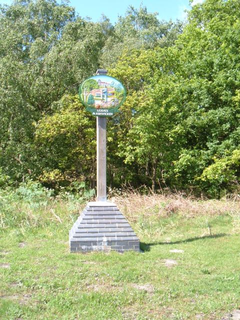
Leziate

Leziate is a village and civil parish in the English county of Norfolk. The village is 44 miles (71 km) west of Norwich, 5.7 miles (9.2 km) east of King...

Middleton Towers railway station

Middleton Towers railway station was a station in Middleton, Norfolk. It was on the line between Swaffham and King's Lynn, and closed along with the rest...

Bawsey

Bawsey is a village and civil parish in the English county of Norfolk. The village is about 4 miles (6.4 km) east of the town of King's Lynn and 40 miles...

Related Videos

Elvington House, holiday let and serviced accommodation in Kings Lynn hosted by Shortstay England

Three double bedrooms, sleeps 6, fully equipped kitchen, upstairs bathroom with shower, courtyard garden and private parking.

Everyday When you re walking down the street

everyone #TheQueenElizabethHospitalKingsLynnNorfolk #QueenElizabethHospitalNHSKingsLynnNorfolk Hello ladies and ...

Nearby Amenities

Located within 500m of 52.751299,0.45297522
Bus Stop
Crematorium
Naptan AtcoCode: 2900B143
Naptan Bearing: W
Naptan BusStopType: CUS
Naptan CommonName: Crematorium
Naptan Indicator: adj
Naptan Landmark: Crematorium
Naptan Locality: Bawsey
Naptan NaptanCode: nfoadtam
Naptan Street: B1145
Naptan Verified: yes
Source: naptan_import
Lat/Long: 52.7528223/0.4564668
Bus Stop
Crematorium
Naptan AtcoCode: 2900B144
Naptan Bearing: E
Naptan CommonName: Crematorium
Naptan Indicator: opp
Naptan Landmark: Mintlyn Crematorium
Naptan Locality: Bawsey
Naptan NaptanCode: nfoadtap
Naptan Street: B1145
Naptan Verified: yes
Source: naptan_import
Lat/Long: 52.7530537/0.4561539
Power: pole
Lat/Long: 52.748187/0.4521076
Colour: orange
Marker: post
Material: plastic
Utility: gas
Lat/Long: 52.7538358/0.4481569
The data included in this document is from www.openstreetmap.org. The data is made available under ODbL.

Have you been to Cambridge Plantation?

Leave your review of Cambridge Plantation below (or comments, questions and feedback).