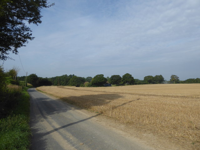
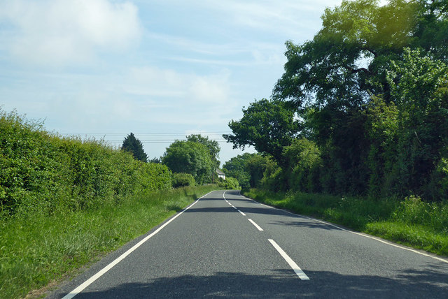
Hicks' Plantation

Wood, Forest in Essex Uttlesford

England

Hicks' Plantation

Private property  Please keep out And a hand addition beneath is 'Essex Farms'. These are frequently encountered in this area by those straying from the right-of-way. In this case there is a good excuse - you have to stray some way to actually read the sign.
Private property Please keep out Credit: Robin Webster

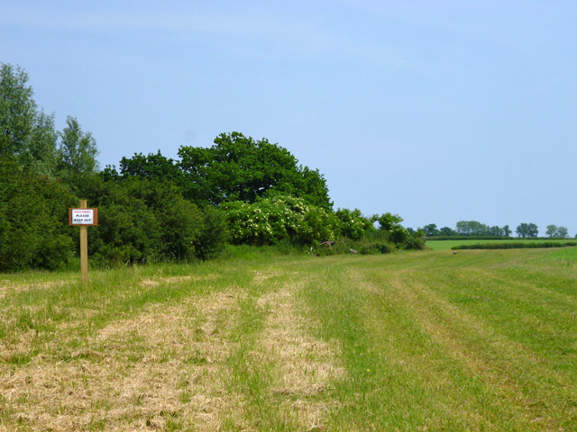
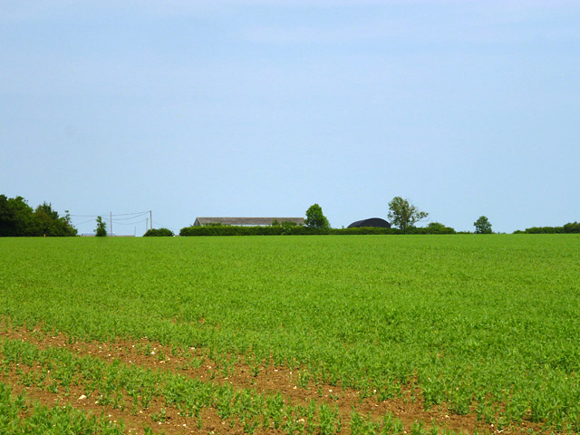
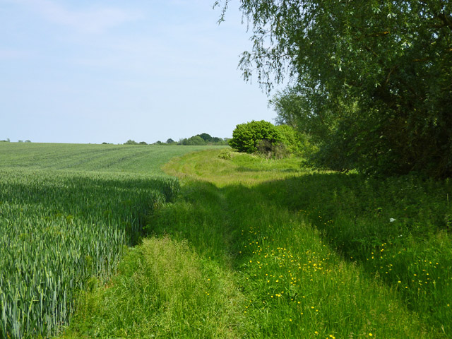
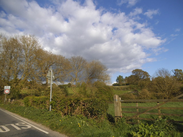
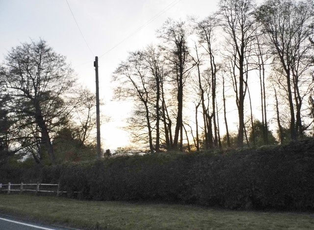
Hicks' Plantation, located in Essex, is a sprawling woodland area known for its rich biodiversity and stunning natural beauty. Covering a vast expanse, the plantation is a significant part of the region's ecosystem and an important habitat for various plant and animal species.

The plantation is predominantly composed of woodlands and forests, characterized by dense vegetation and towering trees. The diverse range of flora includes oak, beech, maple, and birch trees, creating a lush and vibrant environment. These trees provide essential shelter and food sources for birds and other wildlife.

The woodland is home to a myriad of animal species, including deer, foxes, rabbits, and numerous bird species. It serves as a vital breeding ground and a sanctuary for many endangered and rare species, contributing to the conservation efforts in the region.

Visitors to Hicks' Plantation can explore its many walking trails and immerse themselves in the tranquility of nature. The plantation offers a peaceful retreat away from the hustle and bustle of city life, providing a perfect setting for hiking, bird-watching, and nature photography.

The management of Hicks' Plantation places great emphasis on sustainability and conservation. They have implemented various measures to protect the woodland's delicate ecosystem, such as controlled burning and selective tree harvesting. These practices ensure the preservation of the woodland's natural balance and promote the growth of new vegetation.

Overall, Hicks' Plantation is a valuable natural asset in Essex, offering a haven for wildlife and a peaceful escape for nature enthusiasts. Its stunning woodlands and diverse wildlife make it a must-visit destination for those seeking a closer connection to the natural world.

If you have any feedback on the listing, please let us know in the comments section below.

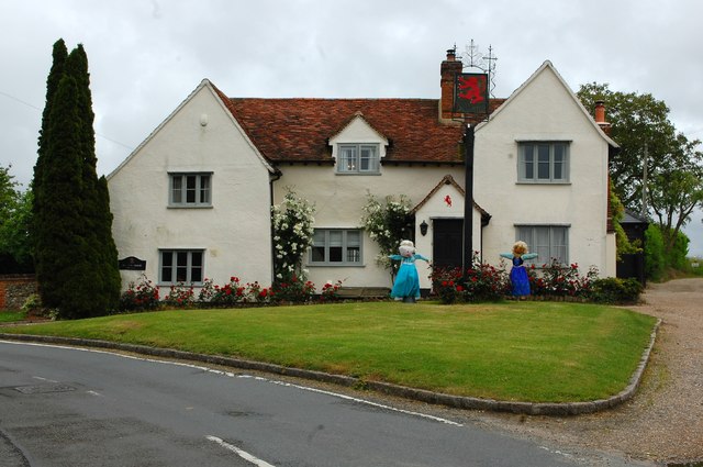
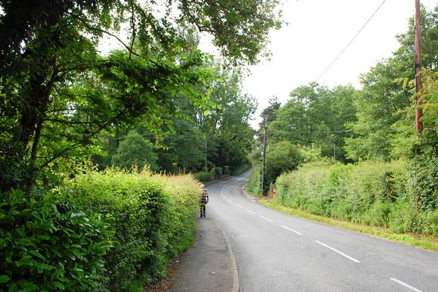
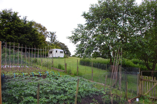
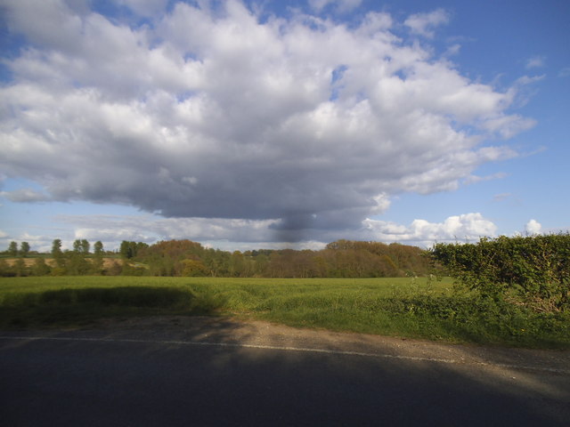
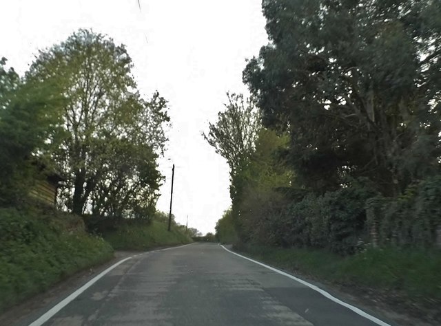
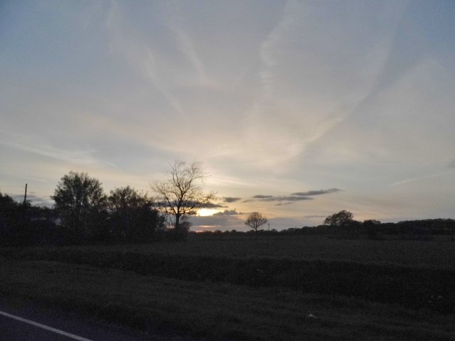
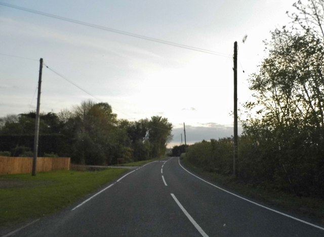
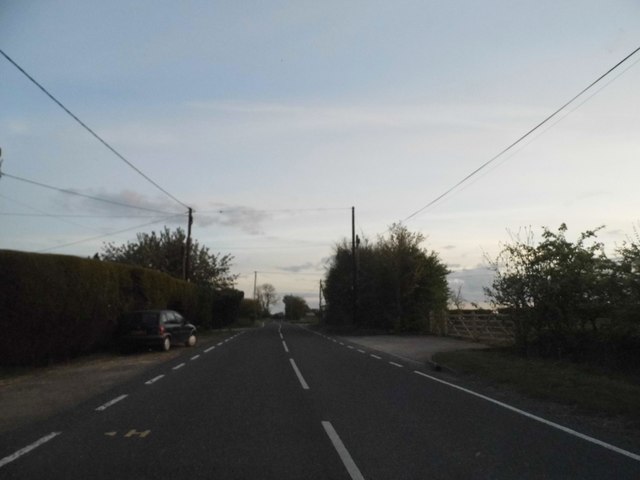
Hicks' Plantation Images

Images are sourced within 2km of 51.897508/0.39896082 or Grid Reference TL6524. Thanks to Geograph Open Source API. All images are credited.

Private property  Please keep out And a hand addition beneath is 'Essex Farms'. These are frequently encountered in this area by those straying from the right-of-way. In this case there is a good excuse - you have to stray some way to actually read the sign.
Private property Please keep out
And a hand addition beneath is 'Essex Farms'. These are frequently encountered in this area by those straying from the right-of-way. In this case there is a good excuse - you have to stray some way to actually read the sign.
A field of peas Probably grown as a nitrogen fixing fertilizer rather than as a crop. The barns beyond are at Holt's Farm.
A field of peas
Probably grown as a nitrogen fixing fertilizer rather than as a crop. The barns beyond are at Holt's Farm.
Field edge path The mapped public route is shown as cutting the corner of the field on the left, reaching this route a little way ahead, and then passing through the marshy, scrubby area on the right with a crossing of a stream somewhere in the middle. There was no sign of either of these, and the only practical route is to follow the cultivated field edges round the marshy area.
Field edge path
The mapped public route is shown as cutting the corner of the field on the left, reaching this route a little way ahead, and then passing through the marshy, scrubby area on the right with a crossing of a stream somewhere in the middle. There was no sign of either of these, and the only practical route is to follow the cultivated field edges round the marshy area.
Prior's Hall, Stebbing A fine half-timbered house dating from the 16th century or earlier. The Knights Hospitaller had a hall here and this became one of the three manor houses of Stebbing. Here seen on an open gardens day.
Prior's Hall, Stebbing
A fine half-timbered house dating from the 16th century or earlier. The Knights Hospitaller had a hall here and this became one of the three manor houses of Stebbing. Here seen on an open gardens day.
The Red Lion One of the former pubs in Stebbing - of which there were several with just one; the White Hart, still operating. This building stands at the end of Watch House Road.
The Red Lion
One of the former pubs in Stebbing - of which there were several with just one; the White Hart, still operating. This building stands at the end of Watch House Road.
High Street, Stebbing North of the main village approaching Bran End.
High Street, Stebbing
North of the main village approaching Bran End.
Allotments at Bran End On Brick Kiln Lane.
Allotments at Bran End
On Brick Kiln Lane.
Field by Brookend
Field by Brookend
Field by Stebbing Brook
Red Lion House, Stebbing No guesses what it was before a house.
Red Lion House, Stebbing
No guesses what it was before a house.
House on the B1057, Bran End This was painted blue and added the wall since 2010.
House on the B1057, Bran End
This was painted blue and added the wall since 2010.
Trees by The Broadway, Bran End
Broadway, Bran End
Broadway, Bran End
Sunset over The Broadway, Bran End
The Broadway entering Dunmow
A lane near Lindsell The B1057 is met where the woods can be seen in the distance.
A lane near Lindsell
The B1057 is met where the woods can be seen in the distance.
B1057 towards Great Bardfield Called The Broadway here, perhaps in distinction from a narrow bit between banks not far ahead.
B1057 towards Great Bardfield
Called The Broadway here, perhaps in distinction from a narrow bit between banks not far ahead.
Show me another place!

Hicks' Plantation is located at Grid Ref: TL6524 (Lat: 51.897508, Lng: 0.39896082)

Administrative County: Essex

District: Uttlesford

Police Authority: Essex

What 3 Words

///describes.arranges.silver. Near Great Dunmow, Essex

Related Wikis

Stebbing

Stebbing is a small village in the Uttlesford district of northern Essex, England. The village is situated north of the ancient Roman road Stane Street...

Bran End

Bran End is a village in Essex, England. == External links == Media related to Bran End at Wikimedia Commons

Lindsell

Lindsell is a village and civil parish in the district of Uttlesford in the county of Essex, England. Nearby settlements include the parish hamlets of...

Church End Mill, Great Dunmow

Church End Mill is a grade II listed Tower mill at Great Dunmow, Essex, England which has been converted to residential use. == History == Church End Mill...

Andrewsfield Aerodrome

Andrewsfield Aerodrome (ICAO: EGSL) is located 4 NM (7.4 km; 4.6 mi) west northwest of Braintree, Essex, England, formerly RAF Andrews Field. Both the...

Little Dunmow

Little Dunmow is a village situated in the Uttlesford district, in rural Essex, England, in the vale of the River Chelmer about 3 miles (4.8 km) east-southeast...

Helena Romanes School

Helena Romanes School (also known/abbreviated as HRS) is a coeducational all-through school and sixth form. It is situated in Great Dunmow in the English...

Stebbing Green

Stebbing Green is a hamlet in the Uttlesford district, in the county of Essex. It is near the village of Stebbing; its post town is Dunmow. It is near...

Nearby Amenities

Located within 500m of 51.897508,0.39896082
Turning Circle
Lat/Long: 51.8989879/0.4039556
Barrier: yes
Lat/Long: 51.8986933/0.4057382
Generator Method: photovoltaic
Generator Output Electricity: yes
Generator Source: solar
Generator Type: solar_photovoltaic_panel
Location: roof
Power: generator
Lat/Long: 51.8988082/0.4038919
Generator Method: photovoltaic
Generator Output Electricity: yes
Generator Source: solar
Generator Type: solar_photovoltaic_panel
Location: roof
Power: generator
Lat/Long: 51.8988173/0.4042224
Barrier: stile
Lat/Long: 51.8999711/0.4002982
Information: guidepost
Tourism: information
Lat/Long: 51.8999659/0.4002986
The data included in this document is from www.openstreetmap.org. The data is made available under ODbL.

Have you been to Hicks' Plantation?

Leave your review of Hicks' Plantation below (or comments, questions and feedback).