Parkhill Wood
Wood, Forest in Sussex Rother
England
Parkhill Wood
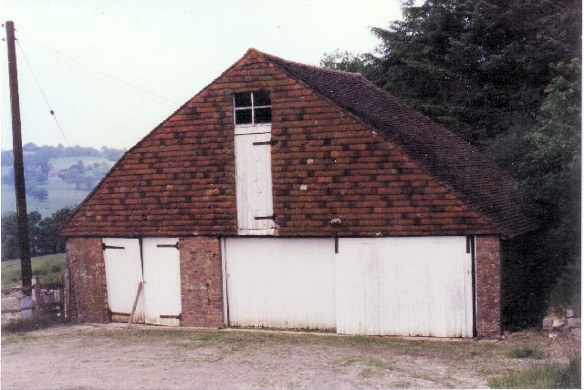
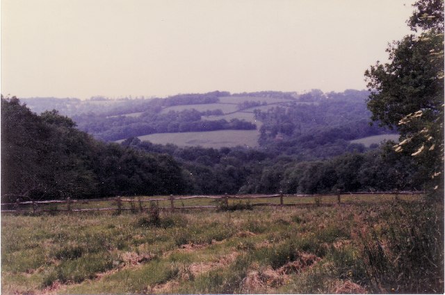
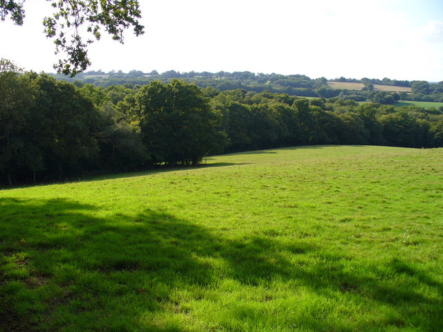
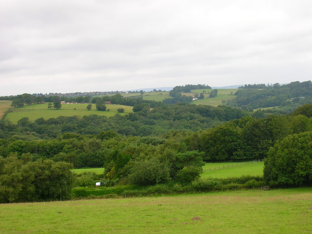
Parkhill Wood is a picturesque forest located in Sussex, England. Covering an area of approximately 100 acres, this woodland is renowned for its natural beauty and diverse ecosystem. It is a popular destination for nature enthusiasts, hikers, and families seeking tranquility and outdoor recreational activities.
The woodland consists of a mix of deciduous and coniferous trees, creating a stunning landscape throughout the year. In spring, the forest floor is carpeted with vibrant wildflowers, while in autumn, the trees display a breathtaking array of colors, attracting photographers and artists.
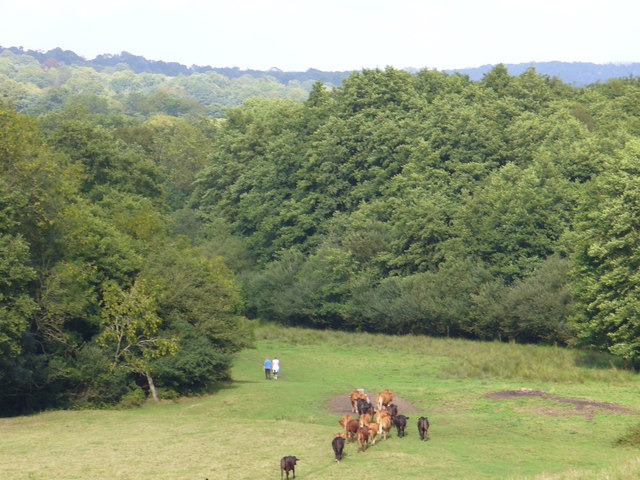
Parkhill Wood is home to a wide variety of wildlife, including deer, foxes, badgers, and a rich bird population. Birdwatchers can spot species such as woodpeckers, nuthatches, and owls, making it an ideal spot for birdwatching enthusiasts.
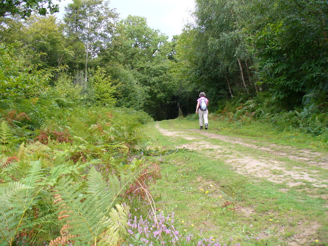
Visitors can enjoy a network of well-maintained trails that wind through the woodland, allowing them to explore its natural wonders at their own pace. The trails provide opportunities for leisurely walks, jogging, and cycling, catering to a range of fitness levels.
For those looking to relax and unwind, there are several designated picnic areas with benches scattered throughout the wood. These spots offer a tranquil setting for families and friends to enjoy a packed lunch or simply soak in the peaceful atmosphere.
Overall, Parkhill Wood offers a delightful escape into nature, providing a haven for both flora and fauna. Whether it's a leisurely stroll, birdwatching, or a picnic with loved ones, this serene woodland has something to offer for everyone.
If you have any feedback on the listing, please let us know in the comments section below.
Parkhill Wood Images
Images are sourced within 2km of 50.980967/0.35147152 or Grid Reference TQ6522. Thanks to Geograph Open Source API. All images are credited.


Parkhill Wood is located at Grid Ref: TQ6522 (Lat: 50.980967, Lng: 0.35147152)
Administrative County: East Sussex
District: Rother
Police Authority: Sussex
What 3 Words
///limitless.stitch.code. Near Burwash, East Sussex
Nearby Locations
Related Wikis

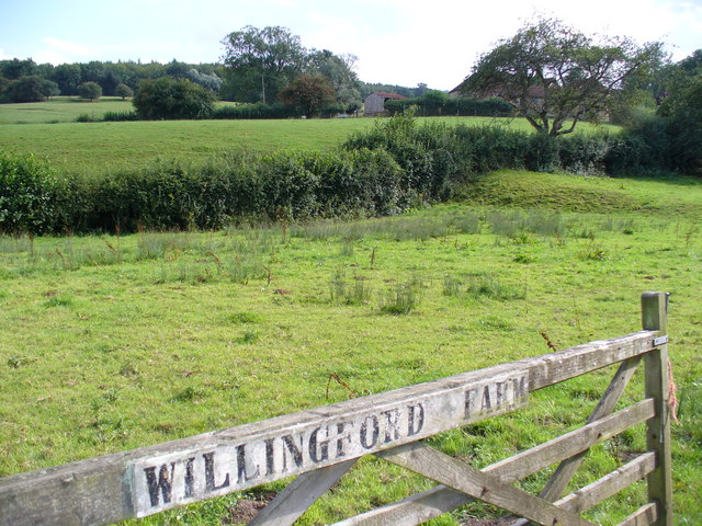
Willingford Meadows
Willingford Meadows is a 10.5-hectare (26-acre) biological Site of Special Scientific Interest south-west of Burwash in East Sussex.These species-rich...

Bateman's
Bateman's is a 17th-century house located in Burwash, East Sussex, England. It was the home of Rudyard Kipling from 1902 until his death in 1936. The house...

Dallington Forest
Dallington Forest is a 16.1-hectare (40-acre) biological Site of Special Scientific Interest (SSSI) east of Heathfield in East Sussex. The SSSI is part...

Holmshurst Manor
Holmshurst Manor is a Jacobean country house near Burwash in East Sussex, England. In 1970 it was purchased by Roger Daltrey of The Who. == Description... ==

Blackdown Mill, Punnetts Town
Blackdown Mill or Cherry Clack Mill is a grade II listed smock mill at Punnetts Town, East Sussex, England, which has been restored. == History == Blackdown...

St Bartholomew's Church, Burwash
St Bartholomew's Church is a parish church in the village of Burwash, East Sussex, England. It is a Grade II* listed building. == Building == St Bartholomew...

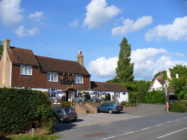
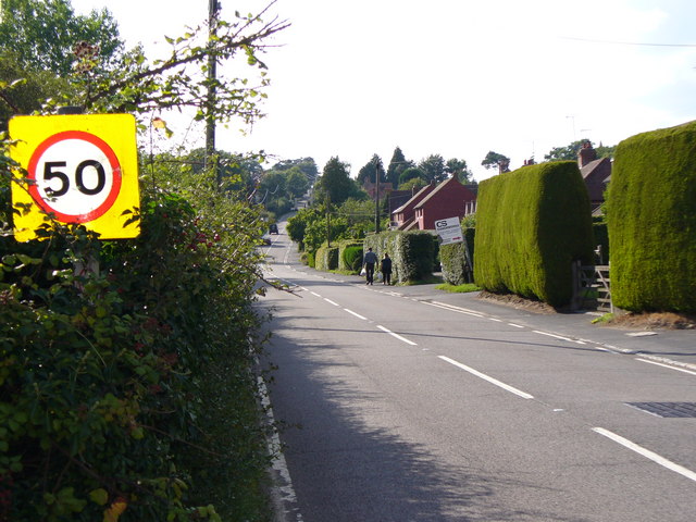
Burwash
Burwash, archaically known as Burghersh, is a rural village and civil parish in the Rother district of East Sussex, England. Situated in the High Weald...
Bingletts Wood
Bingletts Wood is a 16-hectare (40-acre) biological Site of Special Scientific Interest east of Heathfield in East Sussex.Part of this ancient wood is...
Nearby Amenities
Located within 500m of 50.980967,0.35147152Have you been to Parkhill Wood?
Leave your review of Parkhill Wood below (or comments, questions and feedback).